Mary's Wood

Wood, Forest in Devon South Hams

England

Mary's Wood

Hemlock water dropwort, Wiscombe I could be mistaken, but this looks like Conium maculatum, possibly Britain's most poisonous plant, and very common in late spring in and around South Devon watercourses.
Hemlock water dropwort, Wiscombe Credit: Derek Harper

The requested URL returned error: 429 Too Many Requests

If you have any feedback on the listing, please let us know in the comments section below.
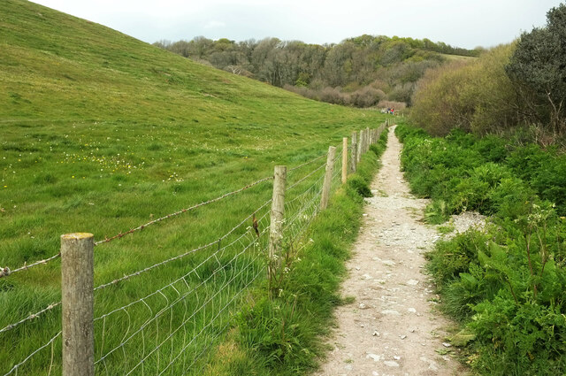
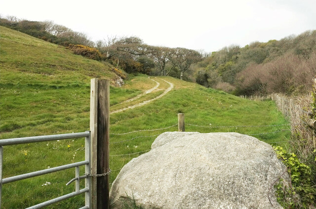
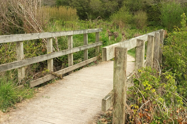
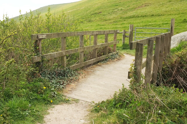
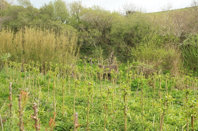
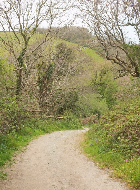
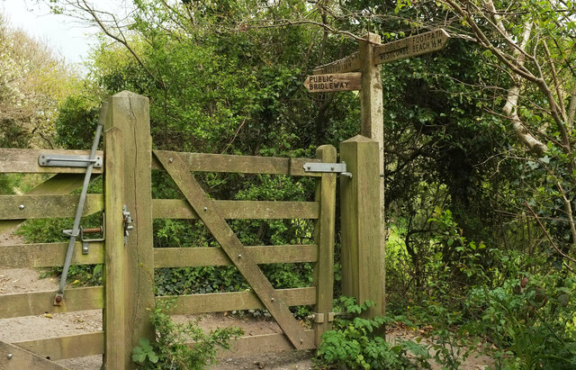
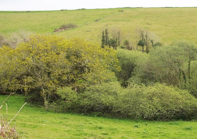
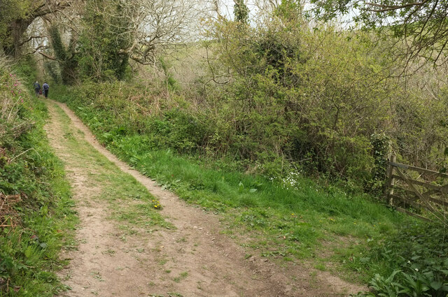
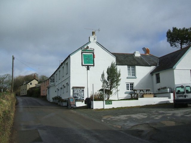
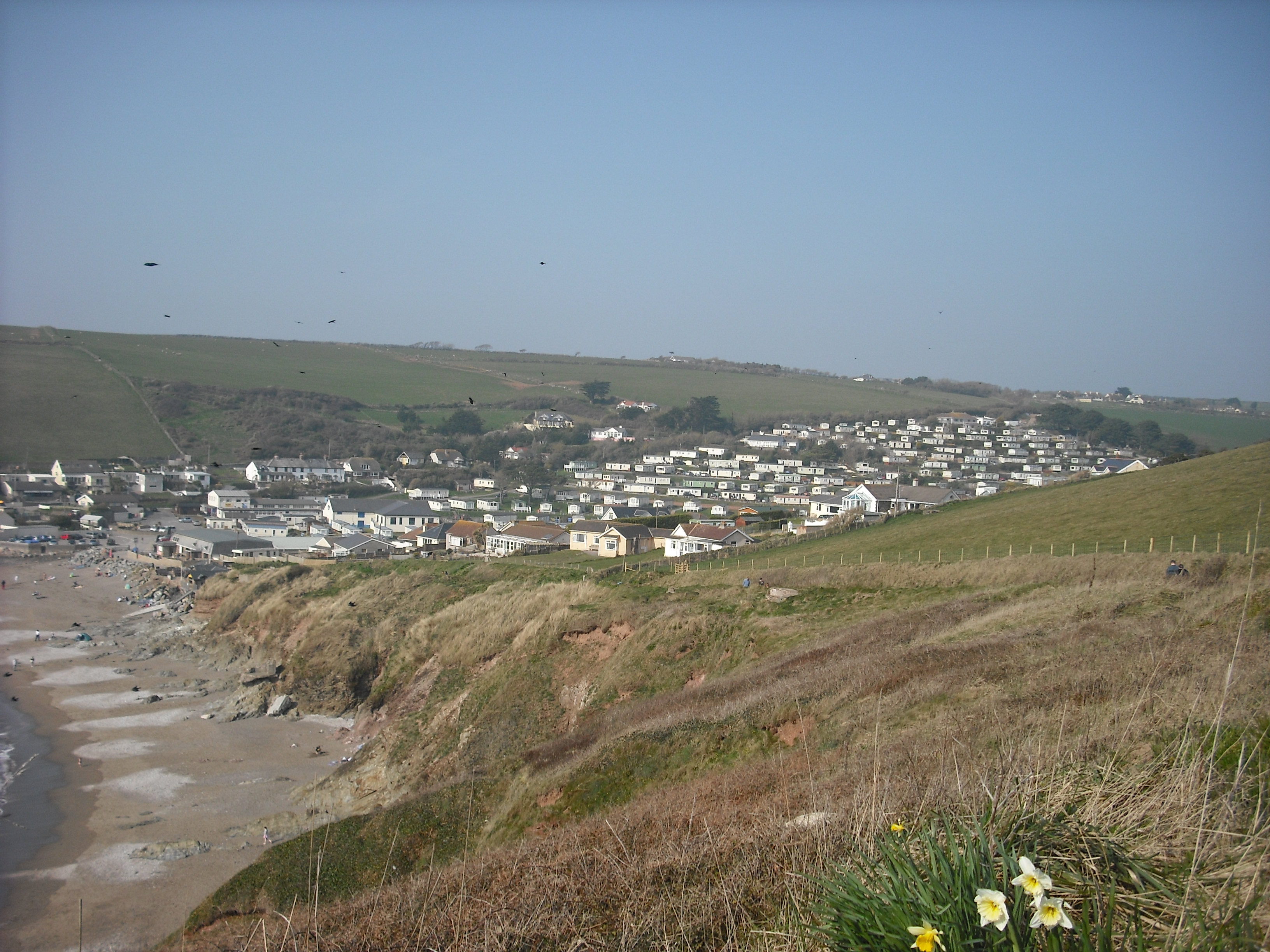
Mary's Wood Images

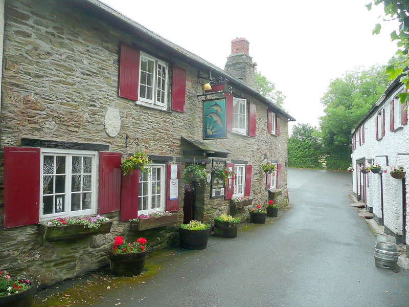
Images are sourced within 2km of 50.307299/-3.8910571 or Grid Reference SX6546. Thanks to Geograph Open Source API. All images are credited.

Hemlock water dropwort, Wiscombe I could be mistaken, but this looks like Conium maculatum, possibly Britain's most poisonous plant, and very common in late spring in and around South Devon watercourses.
Hemlock water dropwort, Wiscombe
I could be mistaken, but this looks like Conium maculatum, possibly Britain's most poisonous plant, and very common in late spring in and around South Devon watercourses.
Footpath, Wiscombe Shown in <a href="https://www.geograph.org.uk/photo/1511844">SX6346 : Path up Westcombe</a>, where I have described it as a permissive path. It is now a fully-fledged public footpath, Kingston Footpath 10.
Footpath, Wiscombe
Shown in SX6346 : Path up Westcombe, where I have described it as a permissive path. It is now a fully-fledged public footpath, Kingston Footpath 10.
Track, Wiscombe A private track seen from Kingston Footpath 10. The track follows a western branch if the valley towards Scobbiscombe Farm; the public footpath keeps to the main Wiscombe valley.
Track, Wiscombe
A private track seen from Kingston Footpath 10. The track follows a western branch if the valley towards Scobbiscombe Farm; the public footpath keeps to the main Wiscombe valley.
Footbridge, Wiscombe Kingston Footpath 10 crosses the stream down Wiscombe. This looks right from <a href="https://www.geograph.org.uk/photo/6998149">SX6346 : Track, Wiscombe</a>. In the background is <a href="https://www.geograph.org.uk/photo/6825304">SX6346 : Willow plantation near Butts Brake</a>.
Footbridge, Wiscombe
Kingston Footpath 10 crosses the stream down Wiscombe. This looks right from SX6346 : Track, Wiscombe. In the background is SX6346 : Willow plantation near Butts Brake.
Footbridge, Wiscombe Seen in <a href="https://www.geograph.org.uk/photo/6998167">SX6346 : Footbridge, Wiscombe</a>, it carries Kingston Footpath 10 down towards Westcombe Beach. The boulder shown in <a href="https://www.geograph.org.uk/photo/6998149">SX6346 : Track, Wiscombe</a> can also be seen.
Footbridge, Wiscombe
Seen in SX6346 : Footbridge, Wiscombe, it carries Kingston Footpath 10 down towards Westcombe Beach. The boulder shown in SX6346 : Track, Wiscombe can also be seen.
Willow plantation, Wiscombe Also shown in <a href="https://www.geograph.org.uk/photo/6825304">SX6346 : Willow plantation near Butts Brake</a>.
Willow plantation, Wiscombe
Footpath, Wiscombe Kingston Footpath 10.
Footpath, Wiscombe
Kingston Footpath 10.
Gate and path junction, Wiscombe At the point where Kingston Footpath 10 comes to an end and you have a choice between going ahead up the valley to Kingston, or forking left up the valley side to meet a lane to the village; both routes are Kingston Bridleway 2.
Gate and path junction, Wiscombe
At the point where Kingston Footpath 10 comes to an end and you have a choice between going ahead up the valley to Kingston, or forking left up the valley side to meet a lane to the village; both routes are Kingston Bridleway 2.
Trees, Wiscombe Trees along the stream down Wiscombe. Those in the background are along Wiscombe Lane.
Trees, Wiscombe
Trees along the stream down Wiscombe. Those in the background are along Wiscombe Lane.
Streamside trees, Wiscombe Looking right from <a href="https://www.geograph.org.uk/photo/6998272">SX6446 : Trees, Wiscombe</a>, with some overlap.
Streamside trees, Wiscombe
Looking right from SX6446 : Trees, Wiscombe, with some overlap.
Bridleway to Kingston Kingston Bridleway 2 passes a gate.
Bridleway to Kingston
Kingston Bridleway 2 passes a gate.
Streamside trees, Wiscombe A view from the gate on the right of <a href="https://www.geograph.org.uk/photo/6998284">SX6446 : Bridleway to Kingston</a>. The trees and hedge in the background are along Wiscombe Lane.
Streamside trees, Wiscombe
A view from the gate on the right of SX6446 : Bridleway to Kingston. The trees and hedge in the background are along Wiscombe Lane.
Bridleway, Wiscombe Kingston Bridleway 2, looking right from <a href="https://www.geograph.org.uk/photo/6830810">SX6446 : Trees, Wiscombe</a>.
Bridleway, Wiscombe
Kingston Bridleway 2, looking right from SX6446 : Trees, Wiscombe.
Wiscombe From the bridleway up the valley.
Wiscombe
From the bridleway up the valley.
Trees, Wiscombe Taken a little farther up the valley from <a href="https://www.geograph.org.uk/photo/6998430">SX6446 : Wiscombe</a>.
Trees, Wiscombe
Taken a little farther up the valley from SX6446 : Wiscombe.
Outfall from pond near Okenbury The waterfall links the two middle of the four ponds near Okenbury.
Outfall from pond near Okenbury
The waterfall links the two middle of the four ponds near Okenbury.
Tower, Okenbury A ruin and walls remaining from the manor house. See also <a href="https://www.geograph.org.uk/photo/6830915">SX6447 : Okenbury</a> and <span class="nowrap"><a title="https://historicengland.org.uk/listing/the-list/list-entry/1108108" rel="nofollow ugc noopener" href="https://historicengland.org.uk/listing/the-list/list-entry/1108108">Link</a><img style="margin-left:2px;" alt="External link" title="External link - shift click to open in new window" src="https://s1.geograph.org.uk/img/external.png" width="10" height="10"/></span> .
Tower, Okenbury
A ruin and walls remaining from the manor house. See also SX6447 : Okenbury and LinkExternal link .
Stile near Kingston Kingston footpath 9 leaves the lane at Higher Gabberwell House via this stile; see also <a href="https://www.geograph.org.uk/photo/6825469">SX6448 : Footpath near Kingston</a>.
Stile near Kingston
Kingston footpath 9 leaves the lane at Higher Gabberwell House via this stile; see also SX6448 : Footpath near Kingston.
Show me another place!

Mary's Wood is located at Grid Ref: SX6546 (Lat: 50.307299, Lng: -3.8910571)

Administrative County: Devon

District: South Hams

Police Authority: Devon and Cornwall

What 3 Words

///breed.uppermost.onlookers. Near Modbury, Devon

Nearby Locations

Jette's Copse Mary's Wood

Related Wikis

Ringmore

Ringmore is a village and civil parish in the South Hams district, on the coast of Devon, England. The population taken at the 2011 census was 208. �...

Bigbury

Bigbury is a village and civil parish in the South Hams district of Devon, England. According to the 2001 census the parish had a population of 582, compared...

Challaborough

Challaborough is a village and popular surfing beach in the District of South Hams on the south coast of Devon, England. The village is in the parish of...

Kingston, Devon

Kingston is civil parish and small scattered village in the South Hams, Devon, England. It is three miles south west of Modbury and about a mile from the...

Nearby Amenities

Located within 500m of 50.307299,-3.8910571
Marwell Cross
Place: locality
Source: OS OpenData StreetView
Lat/Long: 50.3097177/-3.8908475
Fire Hydrant
Emergency: fire_hydrant
Fire Hydrant Type: underground
Survey Date: 2022-02-06
Lat/Long: 50.3059232/-3.8854495
The data included in this document is from www.openstreetmap.org. The data is made available under ODbL.

Have you been to Mary's Wood?

Leave your review of Mary's Wood below (or comments, questions and feedback).