Braggamarsh Wood
Wood, Forest in Devon North Devon
England
Braggamarsh Wood
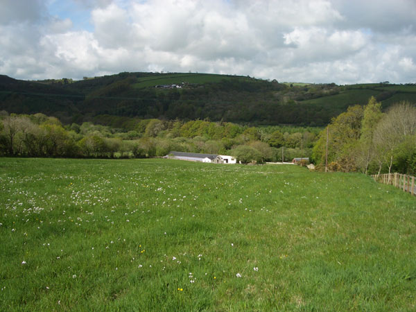
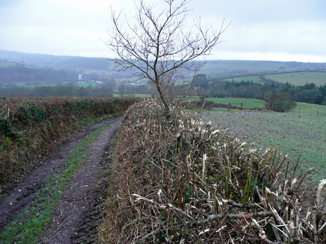
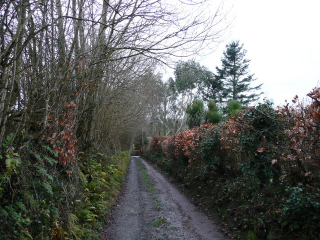
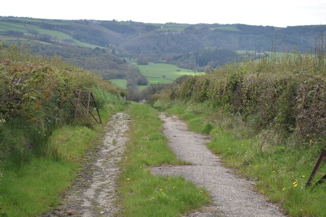
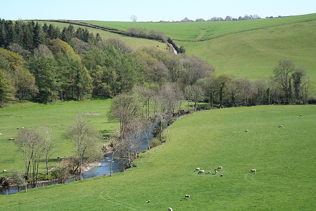
Braggamarsh Wood is a picturesque woodland located in the county of Devon, England. Situated in the heart of the Dartmoor National Park, this enchanting forest covers an area of approximately 500 acres. It is known for its diverse range of flora and fauna, making it a popular destination for nature enthusiasts and hikers alike.
The wood is characterized by its dense canopy of towering oak and beech trees, providing a serene and tranquil atmosphere. The forest floor is adorned with a carpet of wildflowers, including bluebells and primroses, that bloom in vibrant colors during the spring months. The wood is also home to a variety of wildlife, such as deer, foxes, and a wide array of bird species, making it a haven for wildlife lovers.
Braggamarsh Wood offers a network of well-maintained walking trails, allowing visitors to explore its natural beauty at their own pace. These trails meander through the forest, offering breathtaking views of the surrounding Dartmoor landscape. There are also picnic areas and benches scattered throughout the wood, providing the perfect spot for visitors to relax and enjoy the peaceful ambiance.
In addition to its natural beauty, Braggamarsh Wood also holds historical significance. The wood is believed to have been a source of timber for the construction of nearby medieval buildings, and remnants of old charcoal pits can still be found within its boundaries.
Overall, Braggamarsh Wood is a captivating destination that offers a harmonious blend of natural beauty, wildlife, and history, making it a must-visit location for anyone exploring the Devon countryside.
If you have any feedback on the listing, please let us know in the comments section below.
Braggamarsh Wood Images
Images are sourced within 2km of 50.957075/-3.9450434 or Grid Reference SS6319. Thanks to Geograph Open Source API. All images are credited.


Braggamarsh Wood is located at Grid Ref: SS6319 (Lat: 50.957075, Lng: -3.9450434)
Administrative County: Devon
District: North Devon
Police Authority: Devon and Cornwall
What 3 Words
///surfacing.armrests.bloom. Near Chulmleigh, Devon
Nearby Locations
Related Wikis

Portsmouth Arms railway station
Portsmouth Arms railway station is a small wayside station in Devon. It is in the parish of Burrington but remote from any village so is named after the...

Chittlehamholt
Chittlehamholt is a village and civil parish in North Devon district, Devon, England. In the 2011 census it was recorded as having a population of 169...

Burrington, Devon
Burrington is a village and civil parish in North Devon in England. In 2001 the population was 538.The village has a church, a Methodist chapel, a pub...
River Mole, Devon
The River Mole a tributary of the River Taw in Devon which rises on the southwestern border of Exmoor. The river takes its name from the market towns of...
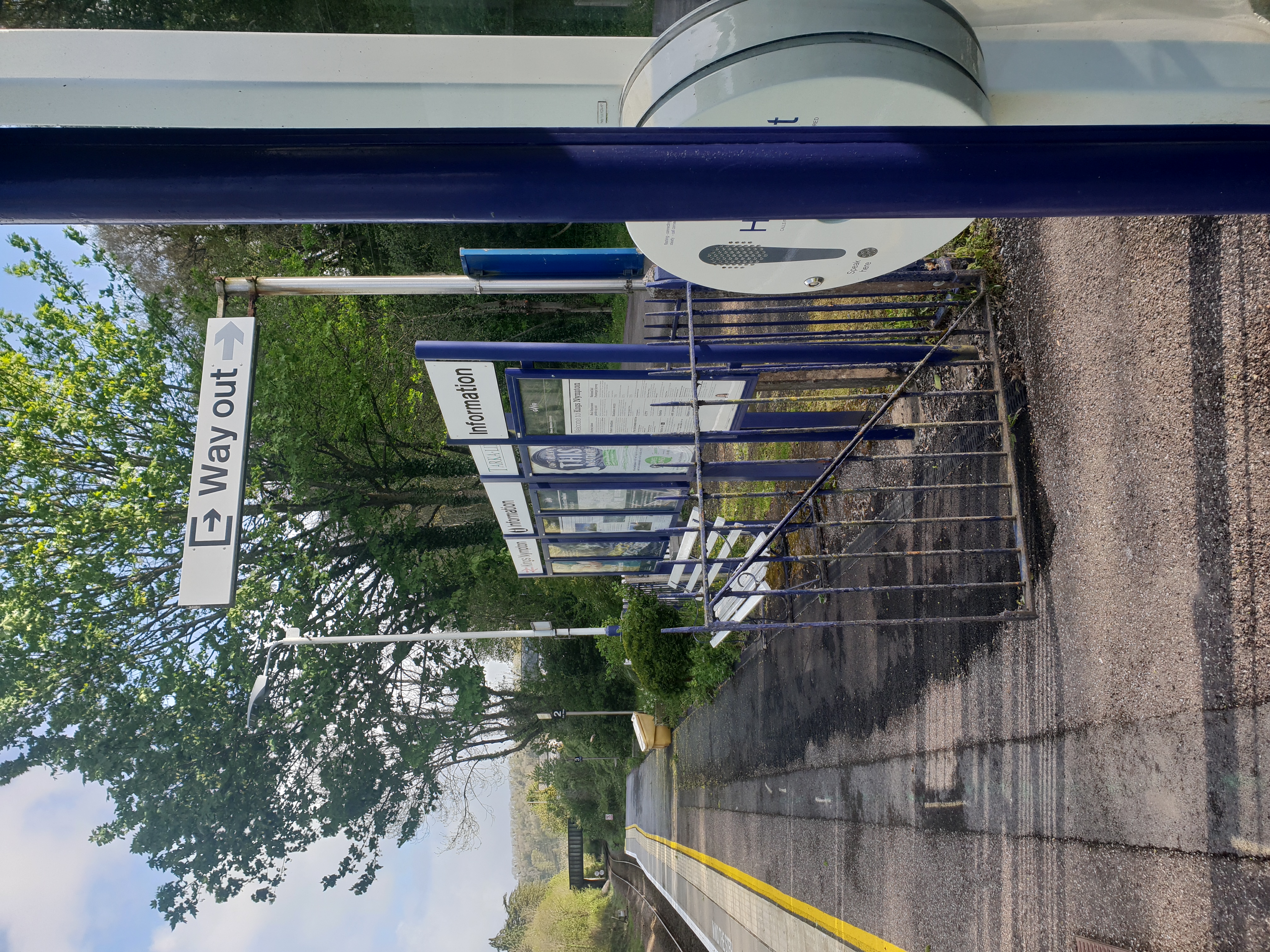
Kings Nympton railway station
Kings Nympton railway station, also spelt King's Nympton, is a halt on the Tarka Line in North Devon, serving the civil parishes of Chulmleigh, Burrington...

High Bickington
High Bickington is a rural village and civil parish in the Torridge district of Devon, England. The village lies on the B3217 road, around 6 miles (10...
Satterleigh and Warkleigh
Satterleigh and Warkleigh is a civil parish in North Devon district, Devon, England. In the 2011 census it was recorded as having a population of 170....
Brightley, Chittlehampton
Brightley was historically the principal secondary estate within the parish and former manor of Chittlehampton in the county of Devon, England, situated...
Nearby Amenities
Located within 500m of 50.957075,-3.9450434Have you been to Braggamarsh Wood?
Leave your review of Braggamarsh Wood below (or comments, questions and feedback).