Winsley Wood
Wood, Forest in Devon North Devon
England
Winsley Wood
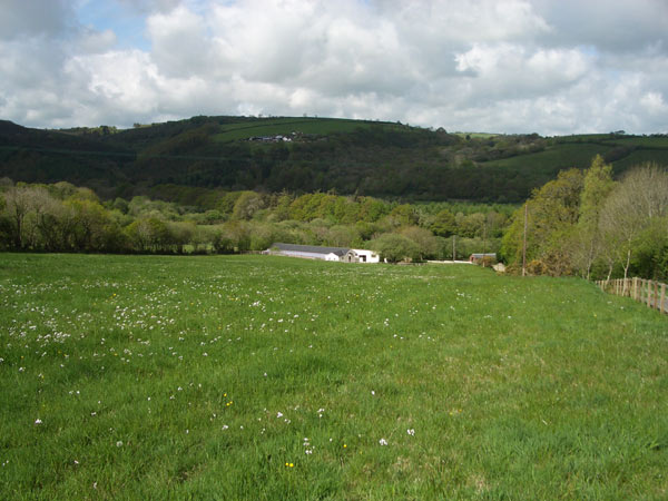
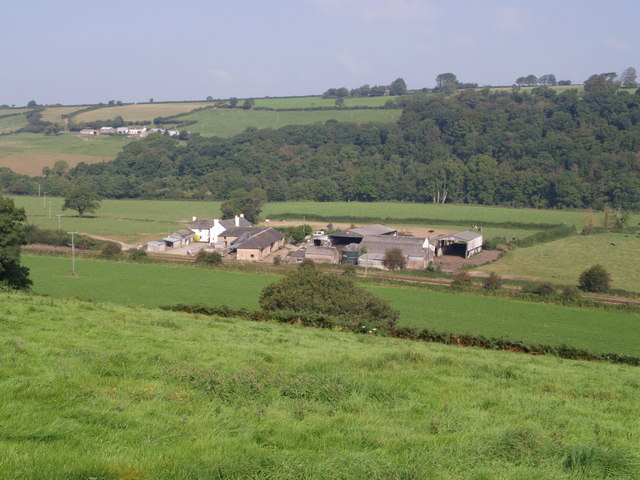
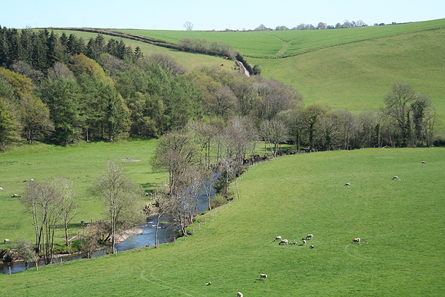
Winsley Wood is a picturesque forest located in the county of Devon, England. Spanning an area of approximately 500 acres, it is a popular destination for nature enthusiasts and hikers alike. The wood is nestled within the stunning landscape of the Dartmoor National Park, enhancing its natural beauty and providing visitors with a tranquil environment.
The forest is predominantly composed of a mix of deciduous and coniferous trees, including oak, beech, and pine. This diverse range of tree species creates a rich and vibrant ecosystem, supporting a wide variety of flora and fauna. Visitors can expect to encounter an array of wildlife, such as deer, foxes, and birds, as they explore the wood's numerous trails and pathways.
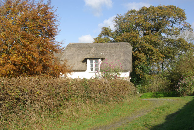
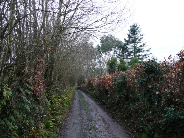
Winsley Wood offers a range of recreational activities for visitors to enjoy. There are designated picnic areas, where families and friends can relax and soak in the peaceful surroundings. The forest also features several walking trails, varying in length and difficulty, catering to both casual strollers and more adventurous hikers. These paths wind through the enchanting woodland, offering glimpses of stunning vistas and allowing visitors to connect with nature.
In addition to its natural allure, Winsley Wood is also steeped in history. The forest has been a part of the local landscape for centuries and has witnessed the passage of time. Ancient ruins and remnants of settlements can be found within its boundaries, providing a glimpse into the area's past.
Overall, Winsley Wood in Devon is a captivating destination that offers a harmonious blend of natural beauty, recreational opportunities, and historical significance. Whether seeking a peaceful retreat or an adventure-filled exploration, this forest has something to offer for everyone.
If you have any feedback on the listing, please let us know in the comments section below.
Winsley Wood Images
Images are sourced within 2km of 50.954185/-3.951686 or Grid Reference SS6319. Thanks to Geograph Open Source API. All images are credited.


Winsley Wood is located at Grid Ref: SS6319 (Lat: 50.954185, Lng: -3.951686)
Administrative County: Devon
District: North Devon
Police Authority: Devon and Cornwall
What 3 Words
///toads.sailor.alternate. Near Chulmleigh, Devon
Nearby Locations
Related Wikis

Portsmouth Arms railway station
Portsmouth Arms railway station is a small wayside station in Devon. It is in the parish of Burrington but remote from any village so is named after the...

Burrington, Devon
Burrington is a village and civil parish in North Devon in England. In 2001 the population was 538.The village has a church, a Methodist chapel, a pub...

Chittlehamholt
Chittlehamholt is a village and civil parish in North Devon district, Devon, England. In the 2011 census it was recorded as having a population of 169...
River Mole, Devon
The River Mole a tributary of the River Taw in Devon which rises on the southwestern border of Exmoor. The river takes its name from the market towns of...

High Bickington
High Bickington is a rural village and civil parish in the Torridge district of Devon, England. The village lies on the B3217 road, around 6 miles (10...
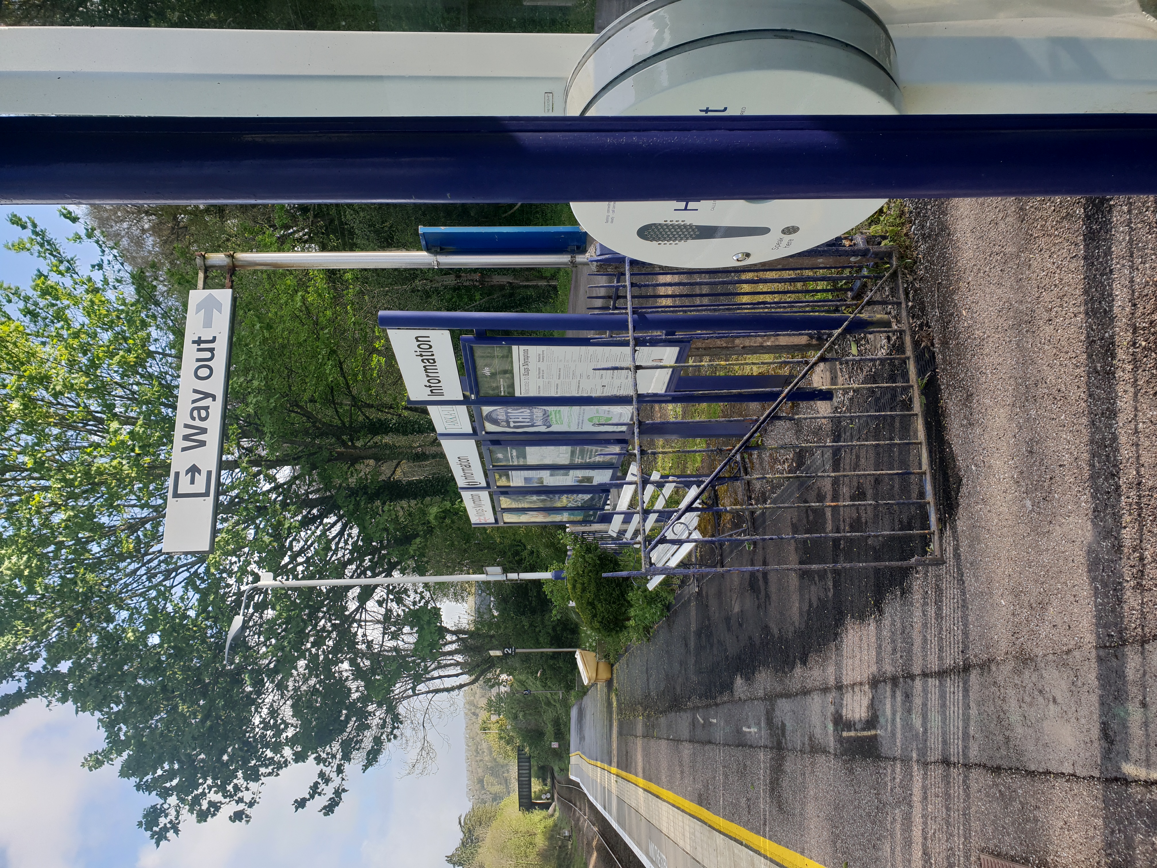
Kings Nympton railway station
Kings Nympton railway station, also spelt King's Nympton, is a halt on the Tarka Line in North Devon, serving the civil parishes of Chulmleigh, Burrington...

Eaglescott Airfield
Eaglescott Airfield (ICAO: EGHU) is located in Burrington, 6 nautical miles (11 km; 6.9 mi) east southeast of Great Torrington, in Devon, England. It is...
Brightley, Chittlehampton
Brightley was historically the principal secondary estate within the parish and former manor of Chittlehampton in the county of Devon, England, situated...
Related Videos
Tweentown Circular Hike, Part VII, 'The Ascent & Skirting of AONB'by Sheila, July 8th 2021
The hike continues in the hot sunshine with some shelter here and there--beautiful views of the hills---sometimes the ferns and ...

Cheddar to AONB and Back Via Long Wood, Part IV,'Close Encounter With Big Beefy Cattle' by Sheila 29
As I strolled along the parade on the AONB at Black Down I was suddenly aware that I was surrounded by a massive herd of ...

Our Wedding at Highbullen Hotel
This hotel is absolutely amazing, they made our wedding perfect and we couldn't of had a better day. 10.09.2021.
Nearby Amenities
Located within 500m of 50.954185,-3.951686Have you been to Winsley Wood?
Leave your review of Winsley Wood below (or comments, questions and feedback).