Chinnor
Settlement in Oxfordshire South Oxfordshire
England
Chinnor

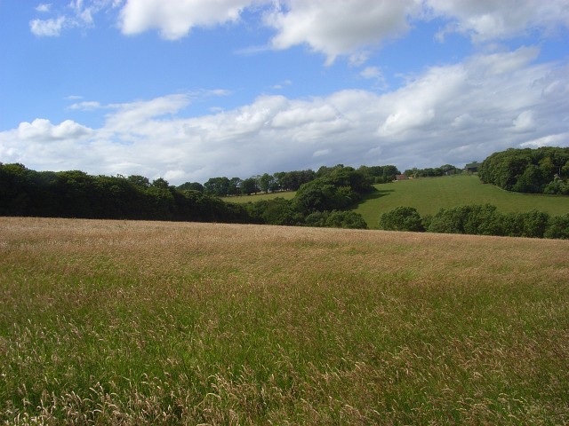
Chinnor is a picturesque village located in the county of Oxfordshire, England. Situated at the foot of the Chiltern Hills, it lies approximately 18 miles southeast of the city of Oxford. With a population of around 5,000 residents, Chinnor has managed to retain its charming rural character, offering a peaceful and idyllic setting.
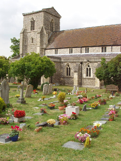
The village is steeped in history, with evidence of human settlement dating back to the Iron Age. The prominent Chinnor Hill, which overlooks the village, is home to an ancient hill fort, adding to its historical significance. The village itself features a mix of historic architecture, including traditional thatched cottages and historic buildings such as the 12th-century St. Andrew's Church.
Chinnor offers a range of amenities for its residents and visitors. The village boasts several local shops, pubs, and restaurants, providing a convenient and welcoming atmosphere. It is also home to a primary school, ensuring that families are well catered for. The surrounding countryside provides ample opportunities for outdoor activities, such as walking, hiking, and cycling, with the Chiltern Way passing through the village.
Transport links in Chinnor are well-established, with regular bus services connecting the village to nearby towns and cities. For those commuting further afield, the M40 motorway is easily accessible, providing direct routes to London and Birmingham.
Chinnor's natural beauty, historical significance, and convenient amenities make it an appealing destination for both residents and visitors, offering a tranquil escape from the hustle and bustle of nearby urban areas.
If you have any feedback on the listing, please let us know in the comments section below.
Chinnor Images
Images are sourced within 2km of 51.702301/-0.904976 or Grid Reference SP7500. Thanks to Geograph Open Source API. All images are credited.


Chinnor is located at Grid Ref: SP7500 (Lat: 51.702301, Lng: -0.904976)
Administrative County: Oxfordshire
District: South Oxfordshire
Police Authority: Thames Valley
What 3 Words
///tram.mornings.mirroring. Near Chinnor, Oxfordshire
Related Wikis

Chinnor F.C.
Chinnor Football Club is a football club based in Chinnor, Oxfordshire, England. They are currently members of the Hellenic League Division Two East and...
Chinnor
Chinnor is a large village and civil parish in South Oxfordshire about 4 miles (6.4 km) southeast of Thame, close to the border with Buckinghamshire. The...

Chinnor and Princes Risborough Railway
The Chinnor and Princes Risborough Railway is a preserved standard gauge heritage railway with its headquarters and main station at Chinnor in South Oxfordshire...
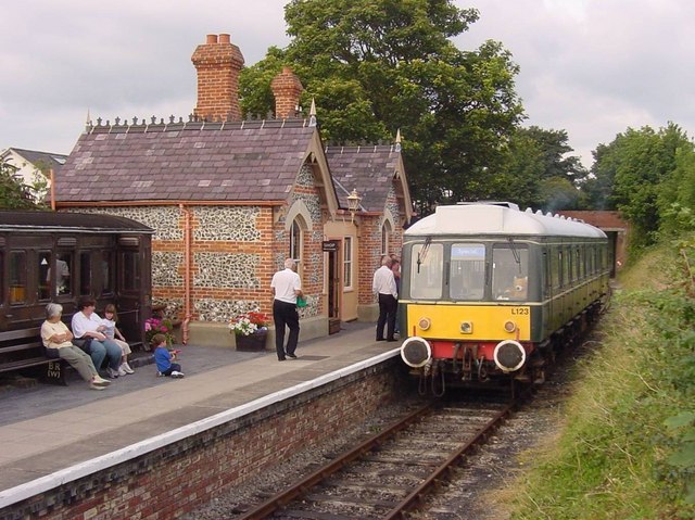
Chinnor railway station
Chinnor railway station in Oxfordshire is on the line of the former Watlington and Princes Risborough Railway. The station was reopened by the Chinnor...
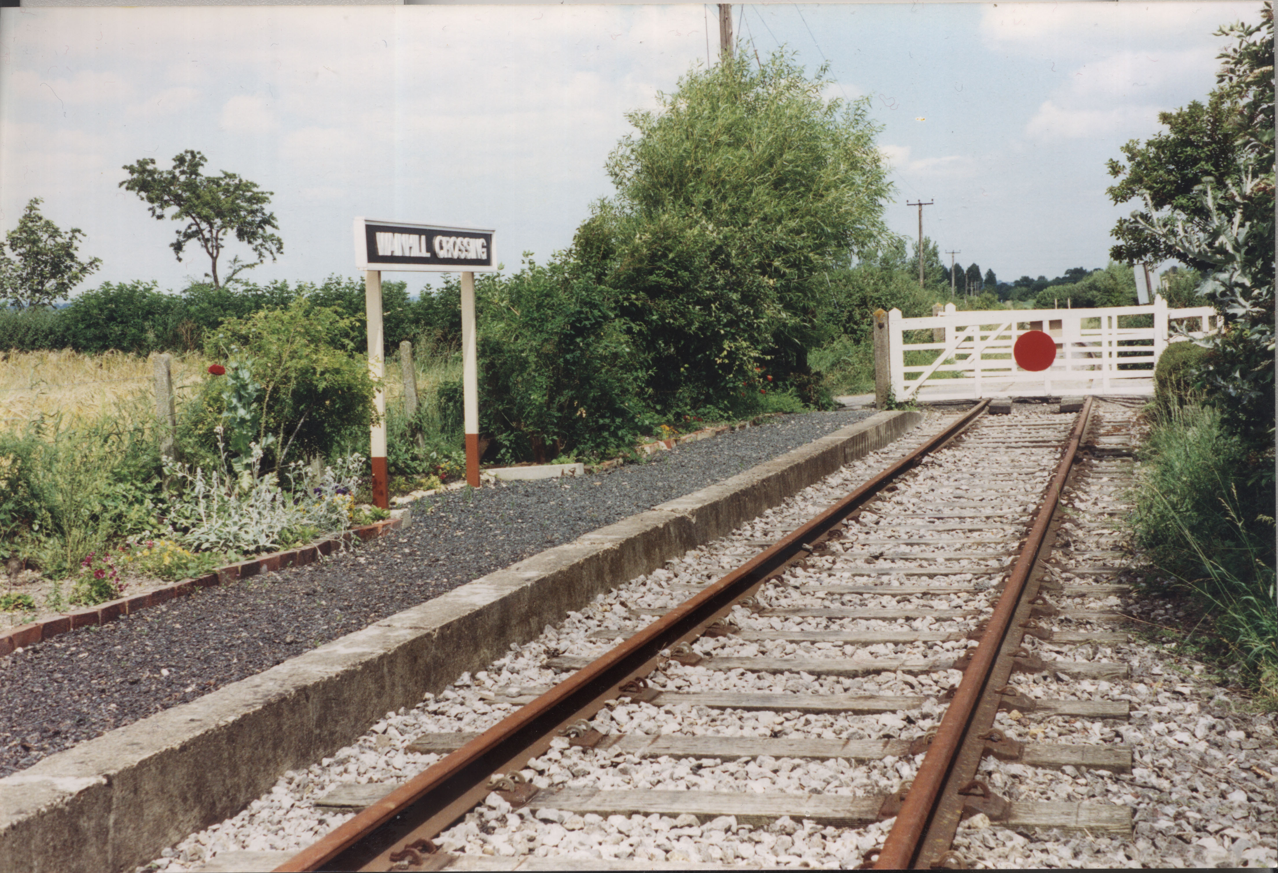
Wainhill Crossing Halt railway station
Wainhill Crossing Halt was a halt on the Watlington and Princes Risborough Railway which the Great Western Railway opened in 1925 to serve the Oxfordshire...
Chinnor Hill
Chinnor Hill is a 26.8-hectare (66-acre) biological Site of Special Scientific Interest east of Chinnor in Oxfordshire. It is managed by the Berkshire...

Oakley, Oxfordshire
Oakley is a spring line settlement at the foot of the Chiltern Hills on the route of the Lower Icknield Way. It is about 4.5 miles (7.2 km) southeast of...

Chinnor Chalk Pit
Chinnor Chalk Pit is a 20.4-hectare (50-acre) geological Site of Special Scientific Interest south of Chinnor in Oxfordshire. It is a Geological Conservation...
Nearby Amenities
Located within 500m of 51.702301,-0.904976Have you been to Chinnor?
Leave your review of Chinnor below (or comments, questions and feedback).