Babbycleave Copse
Wood, Forest in Devon West Devon
England
Babbycleave Copse

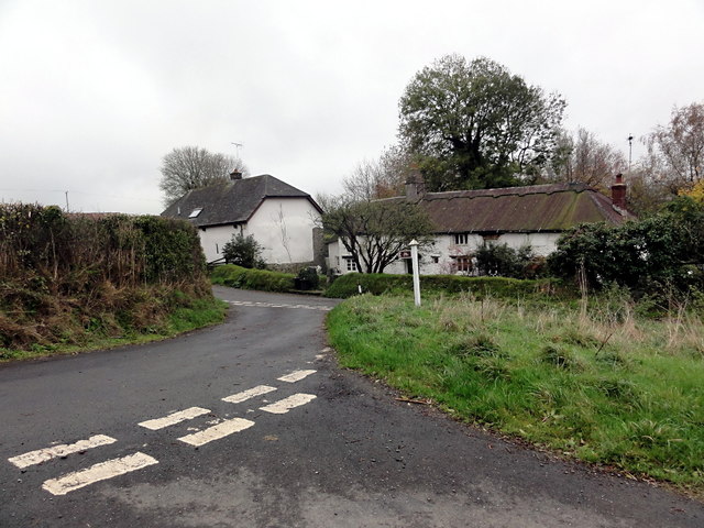
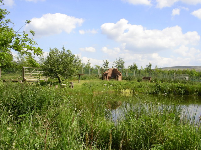
Babbycleave Copse is a picturesque woodland located in the county of Devon, England. Covering an area of approximately 20 acres, this enchanting forest is tucked away in the heart of the countryside, offering a tranquil and secluded retreat for nature lovers and outdoor enthusiasts.
The copse is characterized by its dense canopy of mature trees, predominantly comprising oak, beech, and ash. These majestic trees provide a haven for a diverse range of flora and fauna, creating a thriving ecosystem within the woodland. The forest floor is adorned with a carpet of wildflowers during the spring and summer months, adding a burst of vibrant colors to the scenery.
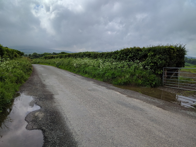
Visitors to Babbycleave Copse can explore an extensive network of well-maintained walking trails that wind their way through the forest. The paths meander through sun-dappled glades and alongside babbling brooks, offering opportunities to spot woodland creatures like squirrels, rabbits, and a variety of bird species.
Nature enthusiasts will appreciate the copse's rich biodiversity, with rare and protected species such as the lesser horseshoe bat and the pearl-bordered fritillary butterfly calling this woodland home. The tranquil atmosphere and natural beauty of Babbycleave Copse make it an ideal spot for wildlife photography, birdwatching, or simply immersing oneself in the serenity of nature.
Whether it's a leisurely stroll, a picnic amidst the trees, or an afternoon of exploring the hidden corners of the woodland, Babbycleave Copse offers a serene escape from the hustle and bustle of everyday life.
If you have any feedback on the listing, please let us know in the comments section below.
Babbycleave Copse Images
Images are sourced within 2km of 50.754019/-3.9617057 or Grid Reference SX6196. Thanks to Geograph Open Source API. All images are credited.


Babbycleave Copse is located at Grid Ref: SX6196 (Lat: 50.754019, Lng: -3.9617057)
Administrative County: Devon
District: West Devon
Police Authority: Devon and Cornwall
What 3 Words
///scoots.shot.awestruck. Near Okehampton, Devon
Nearby Locations
Related Wikis

Belstone Corner
Belstone Corner is a hamlet in West Devon in the English county of Devon, part of the civil parish of Sampford Courtenay. The Sampford Courtenay railway...

Stockley, Devon
Stockley is a hamlet on the eastern outskirts of Okehampton, in Devon, England. It lies just north of the A30. == References == The geographic coordinates...
Okehampton Hamlets
Okehampton Hamlets is a civil parish in the Borough of West Devon and the English county of Devon, it runs independently from the Okehampton Town Council...
Okehampton Parkway railway station
Okehampton Parkway is a proposed railway station in Okehampton on the Dartmoor Line. The station would be part of the Devon Metro and has been described...
Brightley Priory
Brightley Priory was founded in 1133 as a Cistercian monastery. It was built in 1136 and was situated about two miles north of Okehampton in Devon and...
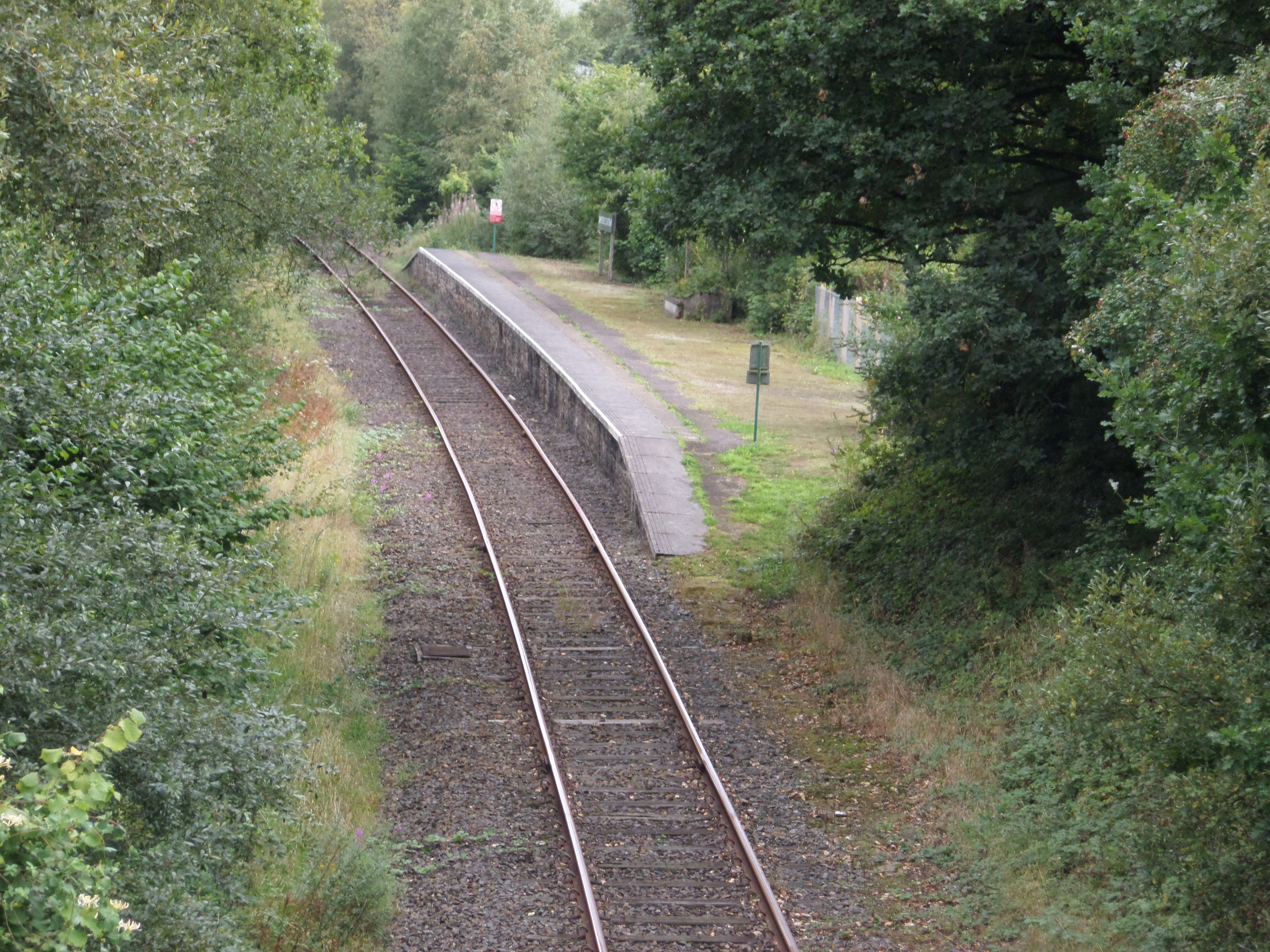
Sampford Courtenay railway station
Sampford Courtenay railway station is a disused railway station at Belstone Corner, which used to serve the nearby (1.6 miles) village of Sampford Courtenay...
Sticklepath
Sticklepath is a village and civil parish on Dartmoor, in the county of Devon, England. It gives its name to one of the most important geological faults...
East Okement River
East Okement is a river in the Dartmoor moors in Devon in south-west England. It joins the West Okement at Okehampton to form the Okement. == References ==
Have you been to Babbycleave Copse?
Leave your review of Babbycleave Copse below (or comments, questions and feedback).