Glendon Copse
Wood, Forest in Devon West Devon
England
Glendon Copse

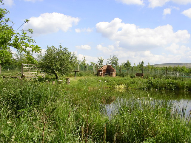
Glendon Copse is a picturesque woodland area located in Devon, England. This enchanting forest covers an area of approximately 50 hectares and is renowned for its natural beauty and diverse wildlife. It is nestled in the heart of the Devon countryside, just a few miles away from the village of Chagford.
The copse is predominantly made up of mature oak and beech trees, which provide a dense canopy that blocks out much of the sunlight, creating a mysterious and tranquil ambiance. The forest floor is covered in a thick layer of moss, ferns, and wildflowers, adding to its ethereal charm.
Glendon Copse is home to a wide variety of wildlife, making it a haven for nature lovers and wildlife enthusiasts. It is a popular spot for birdwatching, with species such as woodpeckers, owls, and various songbirds frequently spotted among the trees. Additionally, the copse is inhabited by small mammals like squirrels, rabbits, and foxes.
Visitors to Glendon Copse can enjoy a range of activities amidst the natural splendor. There are several walking trails that wind through the forest, allowing visitors to explore its hidden gems and discover its rich biodiversity. The copse also offers opportunities for picnicking, photography, and nature study.
Glendon Copse is a true gem of Devon, offering a peaceful retreat from the hustle and bustle of everyday life. Its untouched beauty and abundance of wildlife make it a must-visit destination for anyone seeking a connection with nature.
If you have any feedback on the listing, please let us know in the comments section below.
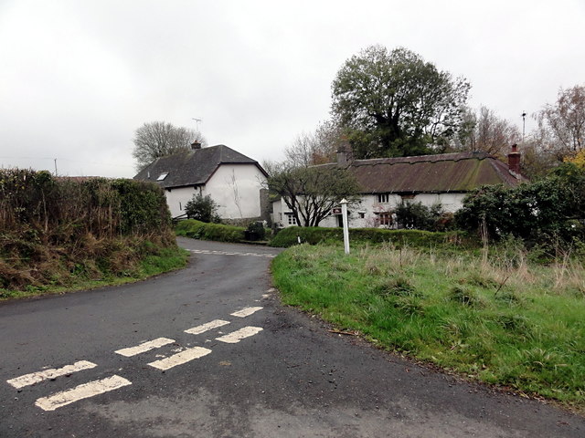
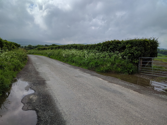
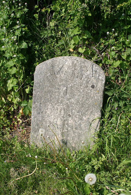
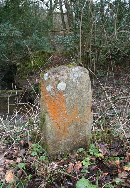
Glendon Copse Images
Images are sourced within 2km of 50.754122/-3.9630427 or Grid Reference SX6196. Thanks to Geograph Open Source API. All images are credited.


Glendon Copse is located at Grid Ref: SX6196 (Lat: 50.754122, Lng: -3.9630427)
Administrative County: Devon
District: West Devon
Police Authority: Devon and Cornwall
What 3 Words
///bypasses.banquets.fines. Near Okehampton, Devon
Nearby Locations
Related Wikis

Belstone Corner
Belstone Corner is a hamlet in West Devon in the English county of Devon, part of the civil parish of Sampford Courtenay. The Sampford Courtenay railway...

Stockley, Devon
Stockley is a hamlet on the eastern outskirts of Okehampton, in Devon, England. It lies just north of the A30. == References == The geographic coordinates...
Okehampton Hamlets
Okehampton Hamlets is a civil parish in the Borough of West Devon and the English county of Devon, it runs independently from the Okehampton Town Council...
Brightley Priory
Brightley Priory was founded in 1133 as a Cistercian monastery. It was built in 1136 and was situated about two miles north of Okehampton in Devon and...
Okehampton Parkway railway station
Okehampton Parkway is a proposed railway station in Okehampton on the Dartmoor Line. The station would be part of the Devon Metro and has been described...
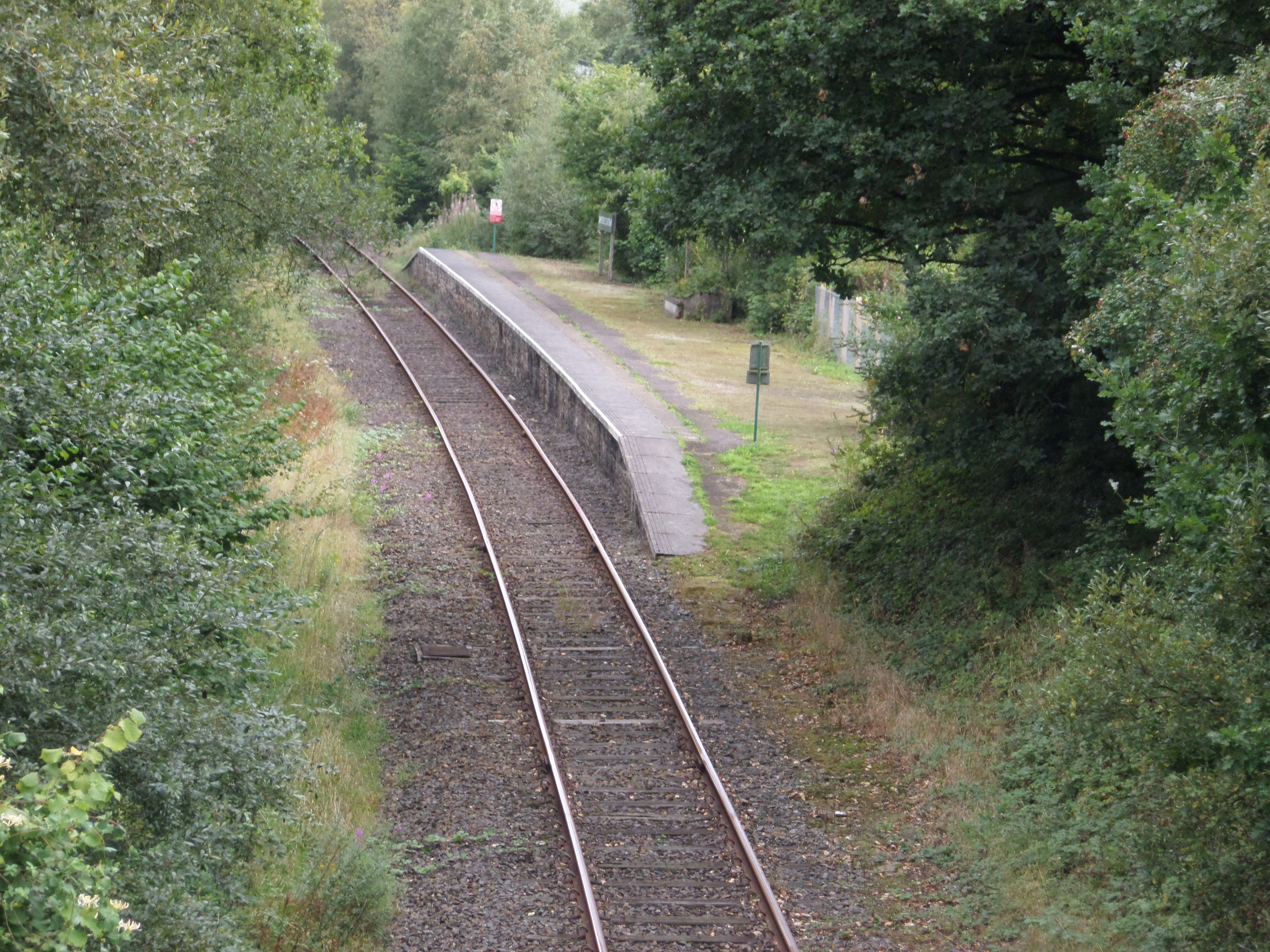
Sampford Courtenay railway station
Sampford Courtenay railway station is a disused railway station at Belstone Corner, which used to serve the nearby (1.6 miles) village of Sampford Courtenay...
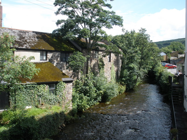
East Okement River
East Okement is a river in the Dartmoor moors in Devon in south-west England. It joins the West Okement at Okehampton to form the Okement. == References ==
Sticklepath
Sticklepath is a village and civil parish on Dartmoor, in the county of Devon, England. It gives its name to one of the most important geological faults...
Nearby Amenities
Located within 500m of 50.754122,-3.9630427Have you been to Glendon Copse?
Leave your review of Glendon Copse below (or comments, questions and feedback).