Chilton Street
Settlement in Suffolk West Suffolk
England
Chilton Street
Chilton Street is a charming village located in the county of Suffolk, England. Nestled amidst the picturesque countryside, this small settlement is known for its tranquil ambiance and scenic beauty. The village is situated about 10 miles southwest of the historic market town of Sudbury and is easily accessible via the A134 road.
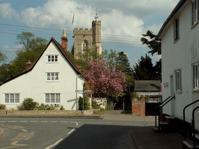
The heart of Chilton Street is its quaint village green, which serves as a gathering place for locals and visitors alike. Lined with charming cottages and a scattering of trees, the green provides a peaceful spot to relax and soak in the rural atmosphere. The village also boasts a lovely parish church, St Mary's, which dates back to the 14th century and adds to the area's historic charm.
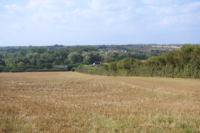
Surrounding Chilton Street, one can find vast expanses of rolling farmland and verdant meadows, offering an idyllic setting for countryside walks and outdoor activities. The area is particularly popular among nature enthusiasts, as it is home to numerous species of birds and wildlife. Additionally, the nearby River Stour provides opportunities for fishing and boating.
Although Chilton Street is a small village, it offers essential amenities for its residents. These include a village hall, a primary school, and a local pub, where locals gather for a friendly drink and a bite to eat. For more extensive shopping and entertainment options, the larger towns of Sudbury and Bury St Edmunds are within easy reach.
In summary, Chilton Street is a charming village in Suffolk, known for its tranquil ambiance, scenic beauty, and close-knit community. Whether it's exploring the countryside, enjoying the village green, or immersing oneself in the area's rich history, this idyllic village has something to offer for everyone.
If you have any feedback on the listing, please let us know in the comments section below.
Chilton Street Images
Images are sourced within 2km of 52.092641/0.56447983 or Grid Reference TL7546. Thanks to Geograph Open Source API. All images are credited.


Chilton Street is located at Grid Ref: TL7546 (Lat: 52.092641, Lng: 0.56447983)
Administrative County: Suffolk
District: West Suffolk
Police Authority: Suffolk
What 3 Words
///fixated.react.ratio. Near Clare, Suffolk
Nearby Locations
Related Wikis
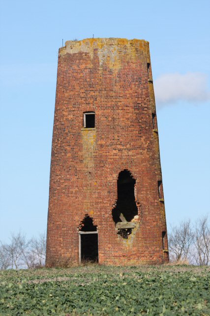
Chilton Street Mill, Clare
Chilton Street Mill is a tower mill at Clare, Suffolk, England which is derelict. == History == Chilton Street Mill was erected in 1846. It ceased work...
Hundon
Hundon is a village and civil parish in the West Suffolk district in Suffolk, England. The village is about 3 miles (5 km) north-west of the small town...

Poslingford
Poslingford is a village and civil parish in the West Suffolk district of Suffolk in eastern England, near to a stream that feeds the into the Chilton...
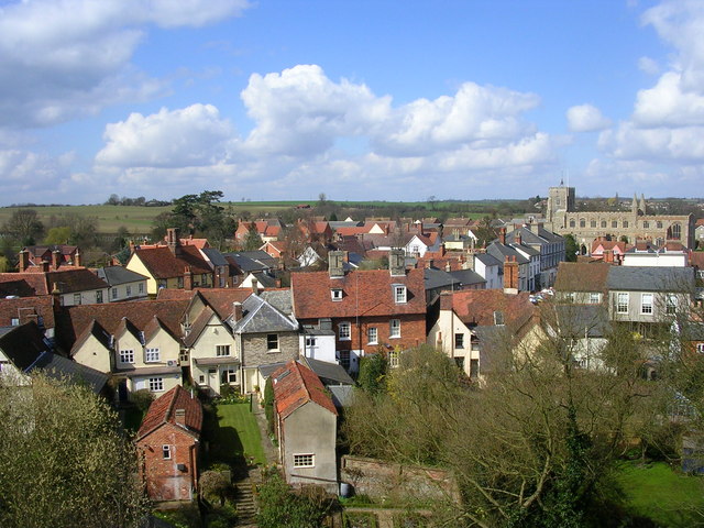
Clare, Suffolk
Clare is a market town on the north bank of the River Stour in Suffolk, England. Clare is in southwest Suffolk, 14 miles (23 km) from Bury St Edmunds and...
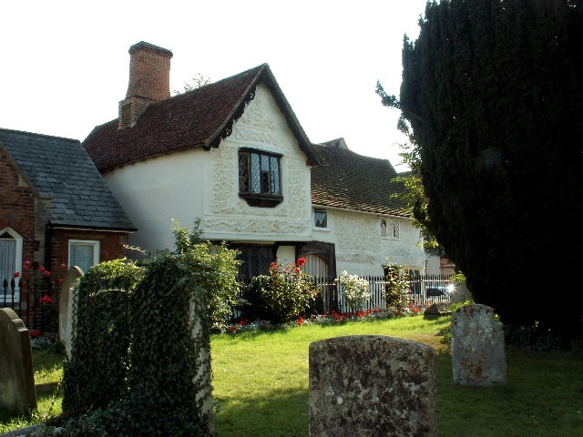
Ancient House, Clare
The Ancient House is a medieval timber-framed and partly pargeted building located in Clare in Suffolk, England. It is a Grade I listed building. ��2...
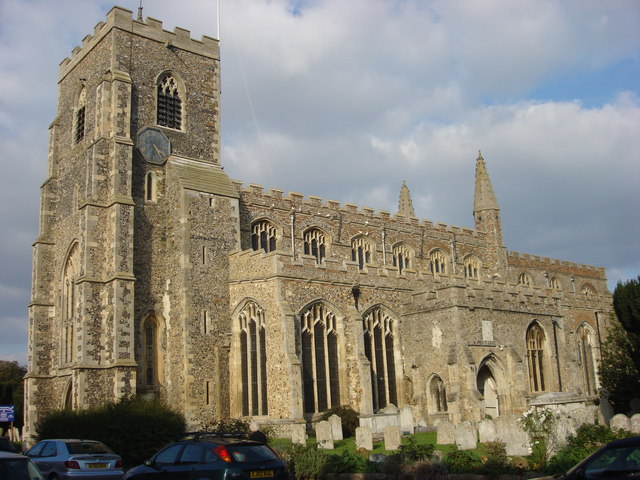
St Peter and St Paul's Church, Clare
St Peter and St Paul's Church, Clare is a Grade I listed parish church in the Church of England in Clare, Suffolk. It is one of the largest and most beautiful...

Clare Castle
Clare Castle is a high-mounted ruinous medieval castle in the parish and former manor of Clare in Suffolk, England, anciently the caput of a feudal barony...

Clare Castle Country Park
Clare Castle Country Park in Suffolk, England, was created around the ruins of Clare Castle and incorporates the now defunct Clare railway station on the...
Nearby Amenities
Located within 500m of 52.092641,0.56447983Have you been to Chilton Street?
Leave your review of Chilton Street below (or comments, questions and feedback).