Chiltington
Settlement in Sussex Lewes
England
Chiltington

Chiltington is a small village located in West Sussex, England. Situated approximately 8 miles north of the city of Brighton and Hove, it lies in the heart of the South Downs National Park. With a population of around 500 residents, Chiltington boasts a tranquil and picturesque setting surrounded by rolling hills and beautiful countryside.
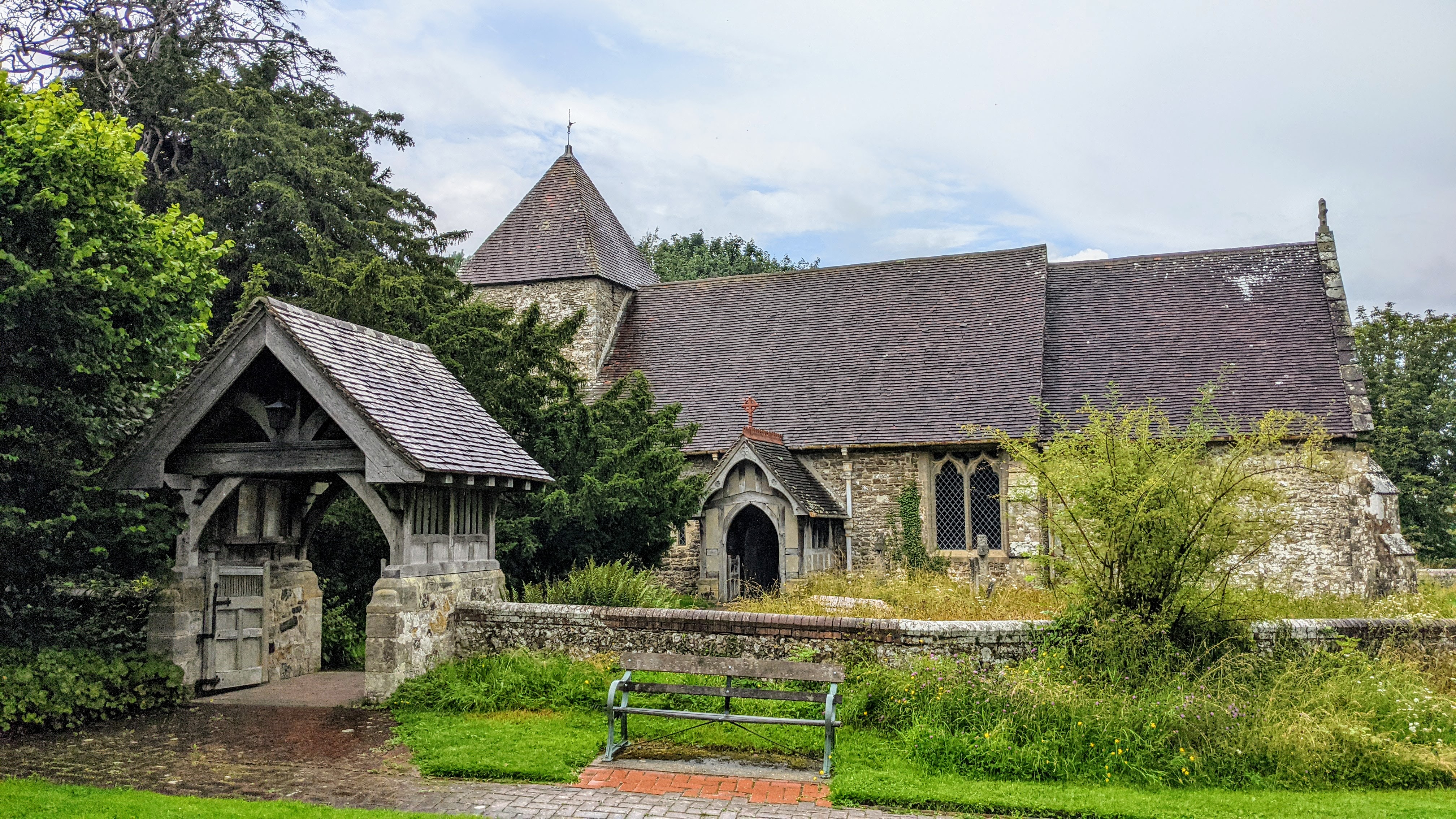
The village is known for its quintessential English charm, with a mix of traditional thatched cottages and historic buildings. The local church, St. Mary's, is a prominent feature and dates back to the 12th century, adding a sense of heritage to the area. The village also offers a community hall, a primary school, and a pub, serving as social hubs for residents.
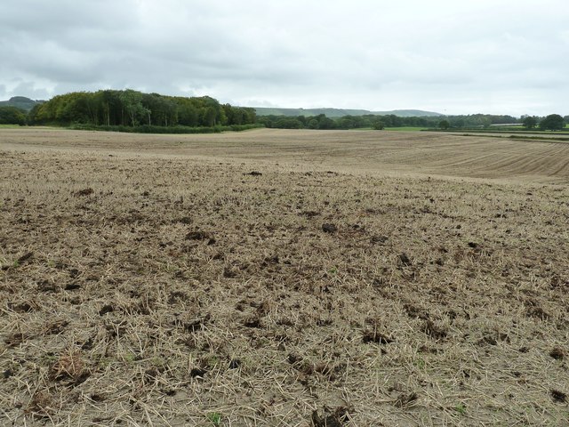
Chiltington is an ideal location for nature enthusiasts and outdoor adventurers. The South Downs, with its vast network of footpaths and bridleways, offers opportunities for hiking, cycling, and horseback riding. The nearby River Adur provides scenic walking routes and fishing spots.
Despite its rural setting, Chiltington benefits from good transportation links. The A23 road runs close by, connecting the village to major towns and cities, including Brighton and London. The nearest train station is Hassocks, which provides regular services to London and other destinations.
Overall, Chiltington offers a tranquil escape from urban life, with its stunning natural surroundings, historic charm, and close-knit community. It is a place where residents can enjoy the beauty of the Sussex countryside while still having convenient access to nearby amenities and transport links.
If you have any feedback on the listing, please let us know in the comments section below.
Chiltington Images
Images are sourced within 2km of 50.919091/-0.028589 or Grid Reference TQ3815. Thanks to Geograph Open Source API. All images are credited.


Chiltington is located at Grid Ref: TQ3815 (Lat: 50.919091, Lng: -0.028589)
Administrative County: East Sussex
District: Lewes
Police Authority: Sussex
What 3 Words
///pencil.winners.rephrase. Near South Chailey, East Sussex
Nearby Locations
Related Wikis

St John Without
St John Without is a small civil parish in the Lewes District of East Sussex, England, covering an area to the north-west of the town of Lewes. Much...
East Chiltington
East Chiltington is a village and civil parish in the Lewes District of East Sussex, England. It is centred four miles (5.9 km) south-east of Burgess Hill...
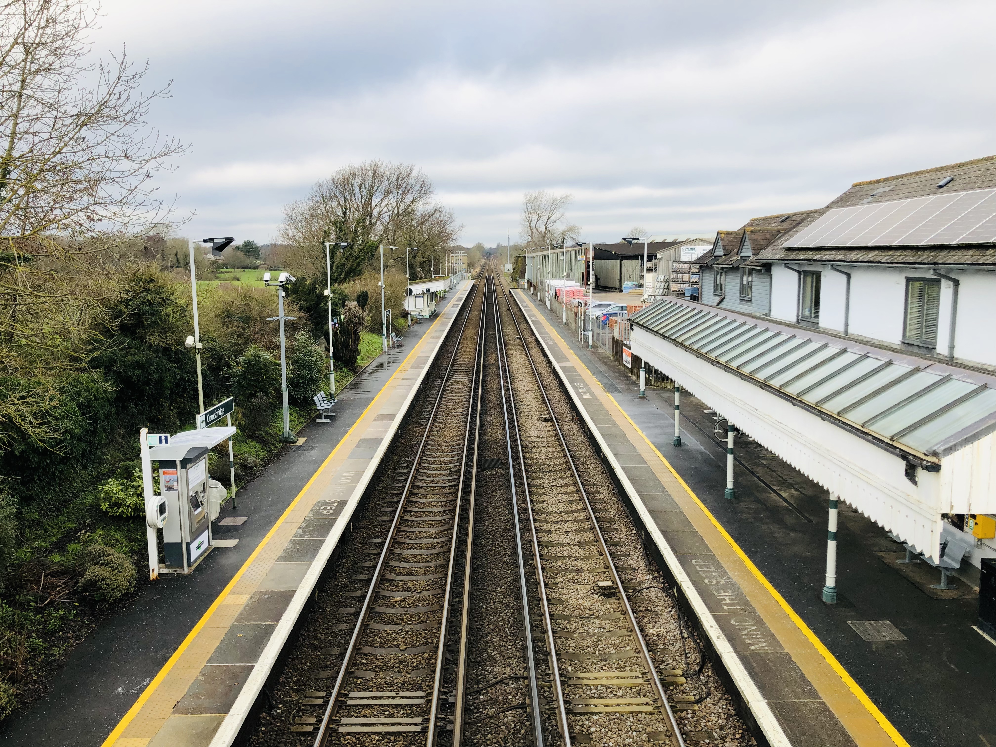
Cooksbridge railway station
Cooksbridge railway station serves the village of Cooksbridge in East Sussex, England. It is on the East Coastway Line, 47 miles 31 chains (76.3 km) from...

Chailey School
Chailey Secondary School opened in April 1958, is a comprehensive secondary school located in the village of South Chailey, Chailey, just outside Lewes...
Plumpton Racecourse
Plumpton Racecourse is a National Hunt racecourse in the village of Plumpton, East Sussex near Lewes and Brighton. Racing first took place at Plumpton...
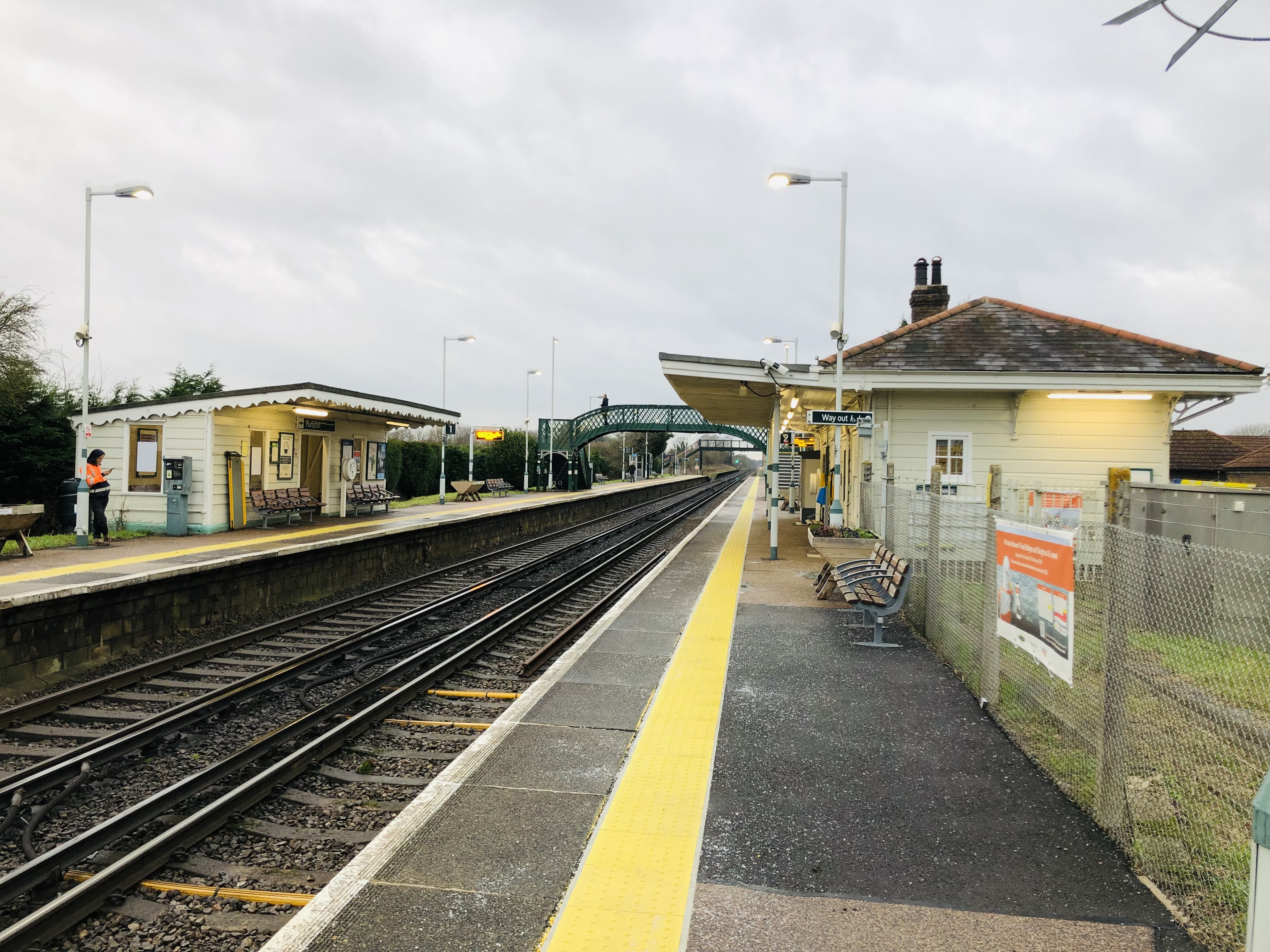
Plumpton railway station
Plumpton railway station serves the village of Plumpton in East Sussex, England. It is 44 miles 42 chains (71.7 km) from London Bridge via Redhill. Train...
The Laines
The Laines is an 18th-century country house in Plumpton, East Sussex, near Lewes in England. It was the childhood home of Queen Camilla. The centre part...

Hamsey
Hamsey is a civil parish in the Lewes District of East Sussex, England. The parish covers a large area (1,144 hectares (2,830 acres)) and consists of the...
Nearby Amenities
Located within 500m of 50.919091,-0.028589Have you been to Chiltington?
Leave your review of Chiltington below (or comments, questions and feedback).