Chilthorne Domer

Settlement in Somerset South Somerset

England

Chilthorne Domer

Odcombe : Yeovil Suburbs Looking down into the industrial estate and around the suburbs.
Odcombe : Yeovil Suburbs Credit: Lewis Clarke

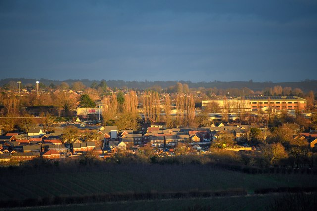
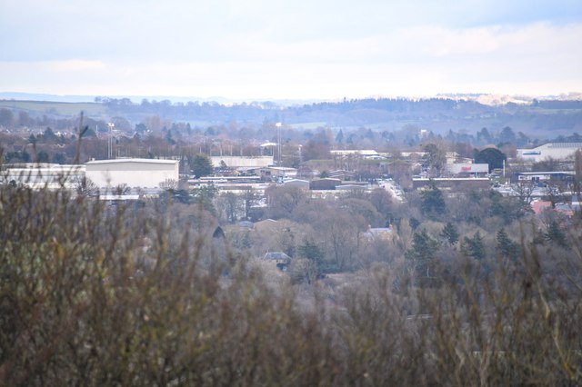
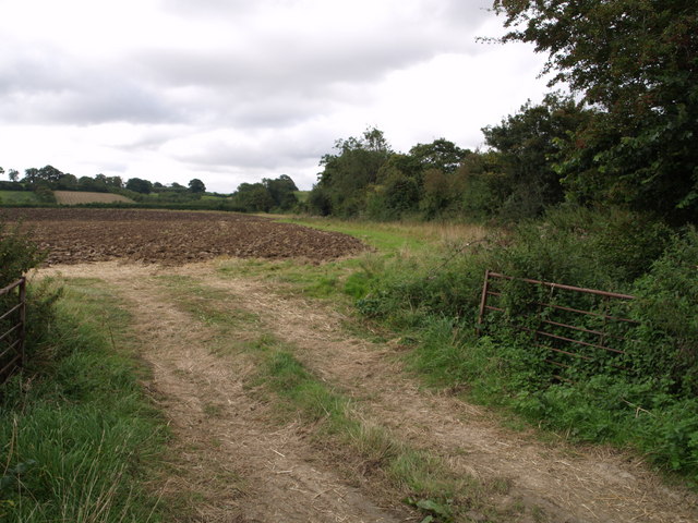
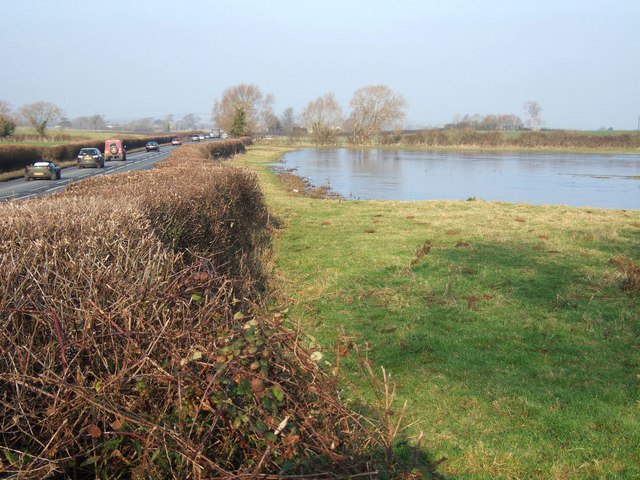
Chilthorne Domer is a small village located in the county of Somerset, England. Situated about 3 miles south-west of the town of Yeovil, it falls within the district of South Somerset. The village has a population of around 500 residents.

The name "Chilthorne Domer" is believed to have originated from the Old English words "cilthorn" meaning a pile of stones, and "domer" meaning a boundary. This suggests that the village may have been marked by a stone boundary marker in the past.

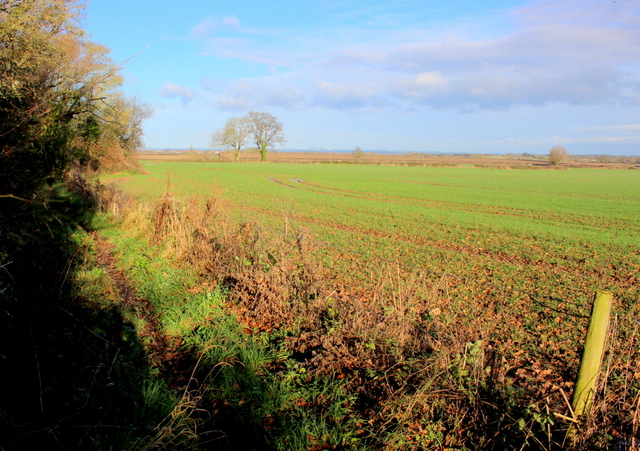
The village's history can be traced back to the Domesday Book of 1086, where it is mentioned as "Ciltorne." Throughout the centuries, Chilthorne Domer has mainly remained an agricultural community, with farming being the primary occupation of its inhabitants.

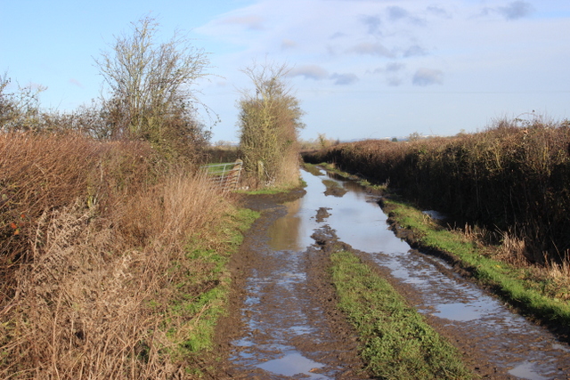
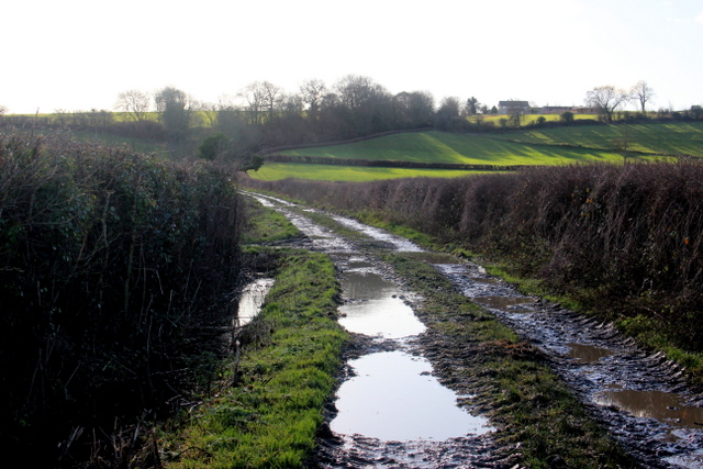
Today, the village boasts a picturesque countryside setting with rolling fields and charming cottages. It features a parish church, St. Mary's, which dates back to the 12th century and is known for its Norman architecture and historic features.

Despite its small size, Chilthorne Domer has a strong sense of community. It has a local pub, The Rose and Crown, which serves as a hub for social gatherings and events. The village also has a primary school, providing education for the local children.

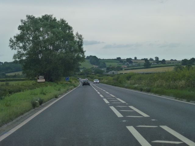
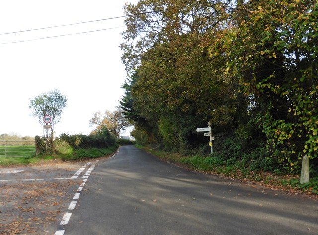
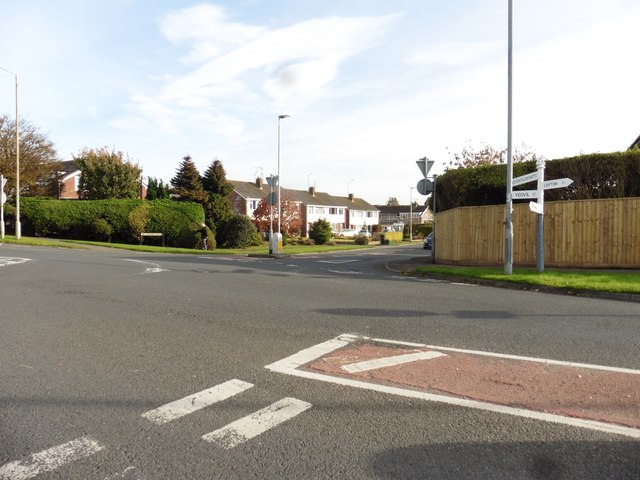
Chilthorne Domer offers easy access to the surrounding areas, with good transport links to Yeovil and other nearby towns. It provides a peaceful and idyllic setting for residents looking for a rural lifestyle while still having amenities within reach.

If you have any feedback on the listing, please let us know in the comments section below.

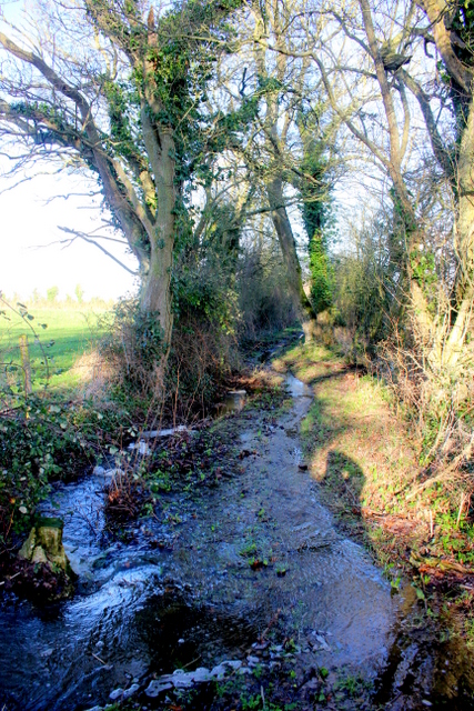
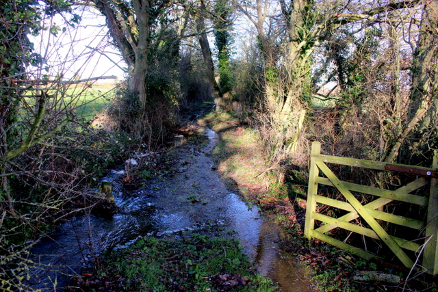
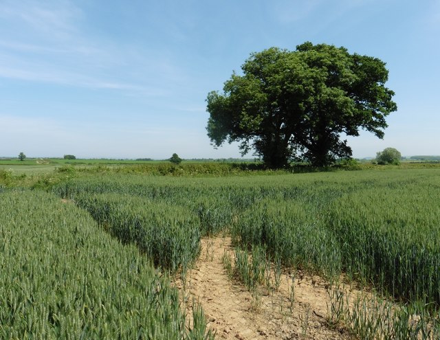
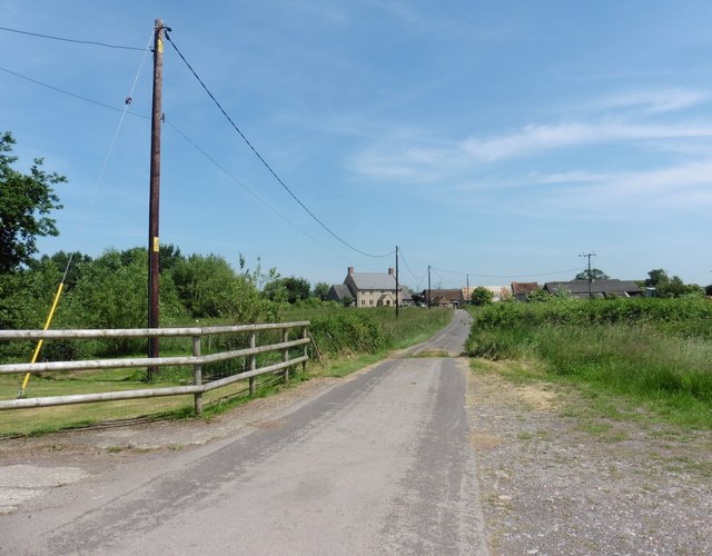
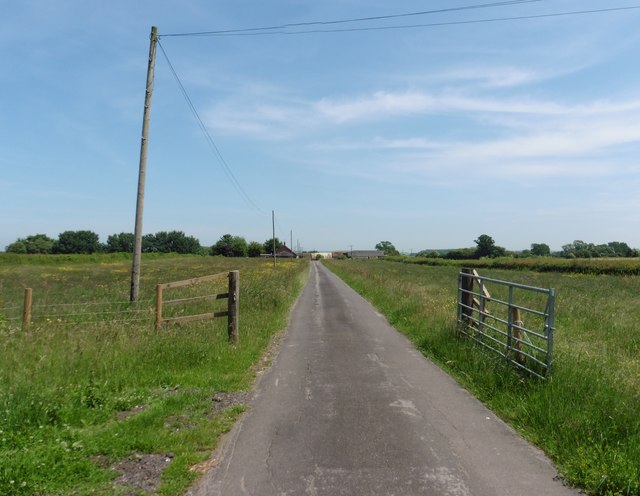
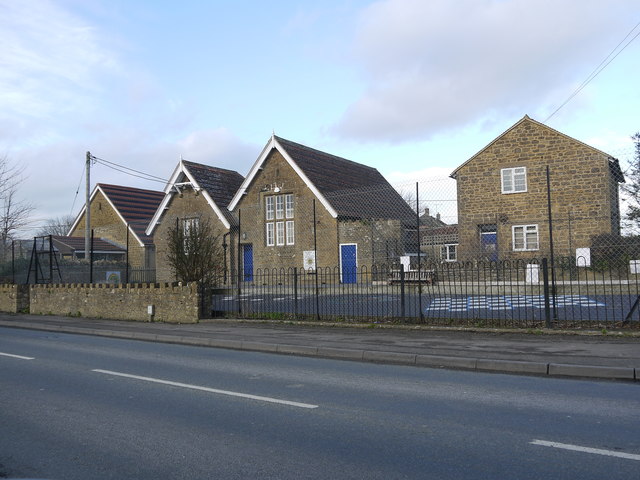
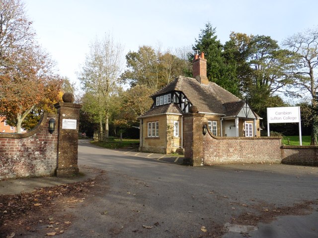
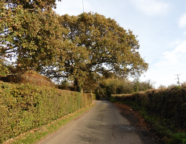
Chilthorne Domer Images

Images are sourced within 2km of 50.965863/-2.679207 or Grid Reference ST5218. Thanks to Geograph Open Source API. All images are credited.

Odcombe : Yeovil Suburbs Looking down into the industrial estate and around the suburbs.
Odcombe : Yeovil Suburbs
Looking down into the industrial estate and around the suburbs.
Montacute : Yeovil Scenery Looking across towards Yeovil.
Montacute : Yeovil Scenery
Looking across towards Yeovil.
Field beside Sock Lane The square occupies low-lying land a little higher than the area around Ilchester to the north, and is crossed by the Leland Trail and the Monarch's Way. These share the use of Sock Lane, which runs among the trees on the right of the field, and which moves into ST5119 as it approaches the slopes in the background.
Field beside Sock Lane
The square occupies low-lying land a little higher than the area around Ilchester to the north, and is crossed by the Leland Trail and the Monarch's Way. These share the use of Sock Lane, which runs among the trees on the right of the field, and which moves into ST5119 as it approaches the slopes in the background.
Flooded field beside A37 Taken close to the drive to Rushley Farm. The ground undulates slightly in this square, and I imagine this field is often flooded. A drain runs along the far side of it and across the A37, flowing left towards the Bearley Brook. At about 11.30 am, the sheet of water was still largely covered in ice.

The A37 is here following the line of a Roman road from Dorchester to Ilchester.
Flooded field beside A37
Taken close to the drive to Rushley Farm. The ground undulates slightly in this square, and I imagine this field is often flooded. A drain runs along the far side of it and across the A37, flowing left towards the Bearley Brook. At about 11.30 am, the sheet of water was still largely covered in ice. The A37 is here following the line of a Roman road from Dorchester to Ilchester.
A37 Southbound On the Ilchester Road heading towards Yeovil Marsh just north of Rushley Farm.
A37 Southbound
On the Ilchester Road heading towards Yeovil Marsh just north of Rushley Farm.
Flooded Track near Chilthorne Hill This is a farmers track that leads out to fields from Shortland Farm. The land here is heavy clay and floods easily.
Flooded Track near Chilthorne Hill
This is a farmers track that leads out to fields from Shortland Farm. The land here is heavy clay and floods easily.
Muddy Track Chilthorne Hill This track leads up from the fields in the marshy vale to Chilthorne Hill whose houses can be seen on the skyline.
Muddy Track Chilthorne Hill
This track leads up from the fields in the marshy vale to Chilthorne Hill whose houses can be seen on the skyline.
Footpath This path alongside field is part of the leland Trail and also carries the Monarch's Way. This is part of the section between Cole Cross and Ilchester in the marshy Blackmoor Vale. Although the track is marked as Sock Lane is it far too overgrown for any kind of vehicle
Footpath
This path alongside field is part of the leland Trail and also carries the Monarch's Way. This is part of the section between Cole Cross and Ilchester in the marshy Blackmoor Vale. Although the track is marked as Sock Lane is it far too overgrown for any kind of vehicle
Sock Lane Sock Lane is not much of a track of path at the best of times but after wet weather this part of it is more like a stream. The Leland Trail and Monarch's way both run along here.
Sock Lane
Sock Lane is not much of a track of path at the best of times but after wet weather this part of it is more like a stream. The Leland Trail and Monarch's way both run along here.
Sock Lane  In wet weather Sock lane runs like a permanent stream in places.
Sock Lane
In wet weather Sock lane runs like a permanent stream in places.
Wheat field at Sock Farm
Road to Rushley Farm
Chilthorne Domer Primary School The school occupies an old house on the right, two old school buildings in the centre and a new building sympathetically matching the old ones on the left. It sits at the junction of Chilthorne Domer main St and the Tintinhull Rd.
Chilthorne Domer Primary School
The school occupies an old house on the right, two old school buildings in the centre and a new building sympathetically matching the old ones on the left. It sits at the junction of Chilthorne Domer main St and the Tintinhull Rd.
Main entrance, Cambian Lufton College
Thorne Lane
Thorne Lane
Thorne Cross
Thorne Cross
Turning for Larkhill Road
Show me another place!

Chilthorne Domer is located at Grid Ref: ST5218 (Lat: 50.965863, Lng: -2.679207)

Administrative County: Somerset

District: South Somerset

Police Authority: Avon and Somerset

What 3 Words

///uses.wishes.allowable. Near Yeovil, Somerset

Related Wikis

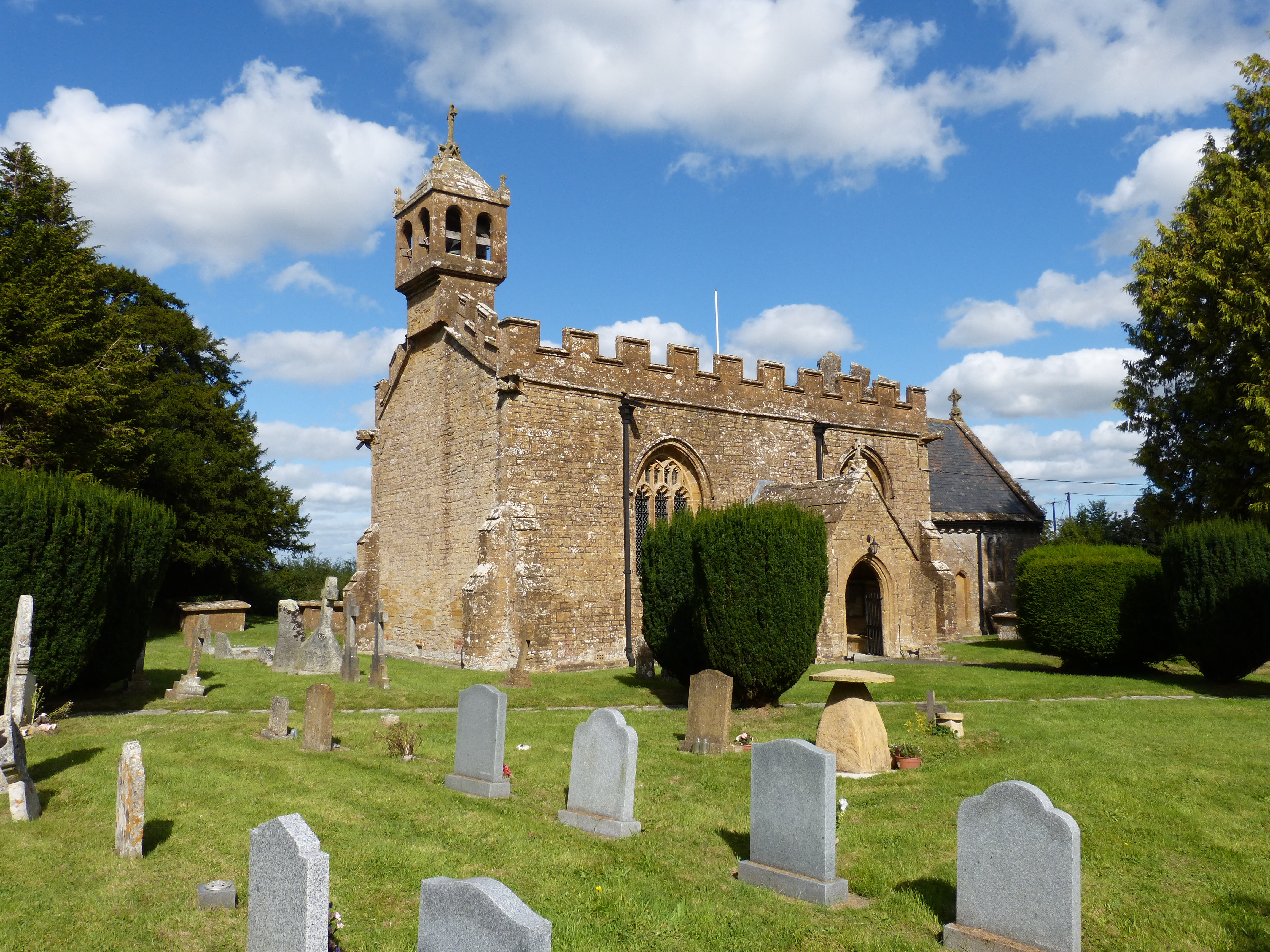
Church of St Mary, Chilthorne Domer

The Anglican Church of St Mary in Chilthorne Domer, Somerset, England was built in the 13th century. It is a Grade II* listed building. == History == The...

Chilthorne Domer

Chilthorne Domer is a village and parish in Somerset, England, situated 4 miles (6.4 km) north west of Yeovil in the South Somerset district. The village...

Church of St Andrew, Thorne Coffin

The Church of St Andrew in Thorne Coffin, Somerset, England, was built in the 14th century. It is a Grade II* listed building. == History == The church...

Huish Park

Huish Park is a football stadium located in Yeovil, Somerset, England. The stadium has been home to Yeovil Town F.C. since its completion in 1990, following...

Nearby Amenities

Located within 500m of 50.965863,-2.679207
Chilthorne Domer
Is In: Somerset, England, UK
Place: village
Wikidata: Q2183505
Wikipedia: en:Chilthorne Domer
Lat/Long: 50.9695717/-2.6788872
Power: pole
Lat/Long: 50.9618148/-2.6762098
Generator Method: photovoltaic
Generator Output Electricity: yes
Generator Source: solar
Generator Type: solar_photovoltaic_panel
Location: roof
Power: generator
Lat/Long: 50.9665626/-2.6785961
Generator Method: photovoltaic
Generator Output Electricity: yes
Generator Source: solar
Generator Type: solar_photovoltaic_panel
Location: roof
Power: generator
Lat/Long: 50.9657881/-2.6777244
Generator Method: photovoltaic
Generator Output Electricity: yes
Generator Source: solar
Generator Type: solar_photovoltaic_panel
Location: roof
Power: generator
Lat/Long: 50.9655406/-2.6772831
Generator Method: photovoltaic
Generator Output Electricity: yes
Generator Source: solar
Generator Type: solar_photovoltaic_panel
Location: roof
Power: generator
Lat/Long: 50.9655457/-2.6772295
The data included in this document is from www.openstreetmap.org. The data is made available under ODbL.

Have you been to Chilthorne Domer?

Leave your review of Chilthorne Domer below (or comments, questions and feedback).