Childwall
Settlement in Lancashire
England
Childwall

Childwall is a suburban area located in the metropolitan county of Lancashire, England. Situated approximately five miles east of Liverpool city center, it falls under the jurisdiction of the Liverpool City Council. With a population of around 14,000 residents, Childwall is a vibrant and diverse community.
The area is known for its picturesque landscapes and green spaces. Childwall Park, a local attraction, offers expansive fields, woodland areas, and a picturesque lake, providing residents with opportunities for leisurely walks, picnics, and outdoor activities. In addition, Childwall Golf Club is a popular destination for golf enthusiasts, offering a challenging course within a beautiful setting.
Childwall is also home to several historic landmarks. Childwall Abbey, a medieval building dating back to the 14th century, is a significant architectural feature. It served as a religious house for nuns until its dissolution in the 16th century. Another notable landmark is Childwall Woods, a remnant of the ancient woodland that once covered a significant portion of the area.
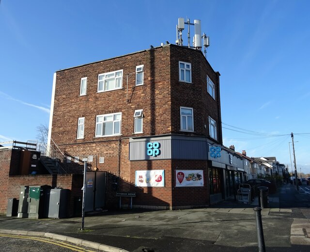
The community of Childwall benefits from a range of amenities, including schools, shops, and restaurants. The area has a strong sense of community, with various local events and organizations that bring residents together. The nearby Childwall Fiveways, a busy junction, provides easy access to surrounding areas and transport links to Liverpool city center.
Overall, Childwall offers a pleasant suburban lifestyle with its natural beauty, historical attractions, and a close-knit community, making it an attractive place to live.
If you have any feedback on the listing, please let us know in the comments section below.
Childwall Images
Images are sourced within 2km of 53.395915/-2.88124 or Grid Reference SJ4189. Thanks to Geograph Open Source API. All images are credited.


Childwall is located at Grid Ref: SJ4189 (Lat: 53.395915, Lng: -2.88124)
Unitary Authority: Liverpool
Police Authority: Merseyside
What 3 Words
///began.glare.office. Near Huyton, Merseyside
Nearby Locations
Related Wikis

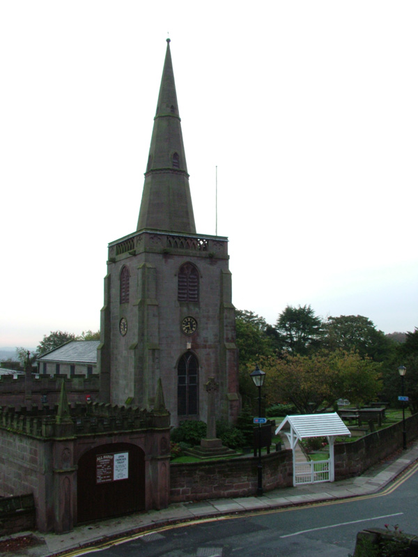
All Saints' Church, Childwall
All Saints' Church, is in Childwall, Liverpool, England. It is recorded in the National Heritage List for England as a designated Grade I listed building...
Childwall
Childwall () is a suburb and ward of Liverpool, England, located to the southeast of the city. It is bordered by Belle Vale, Bowring Park, Broadgreen,...
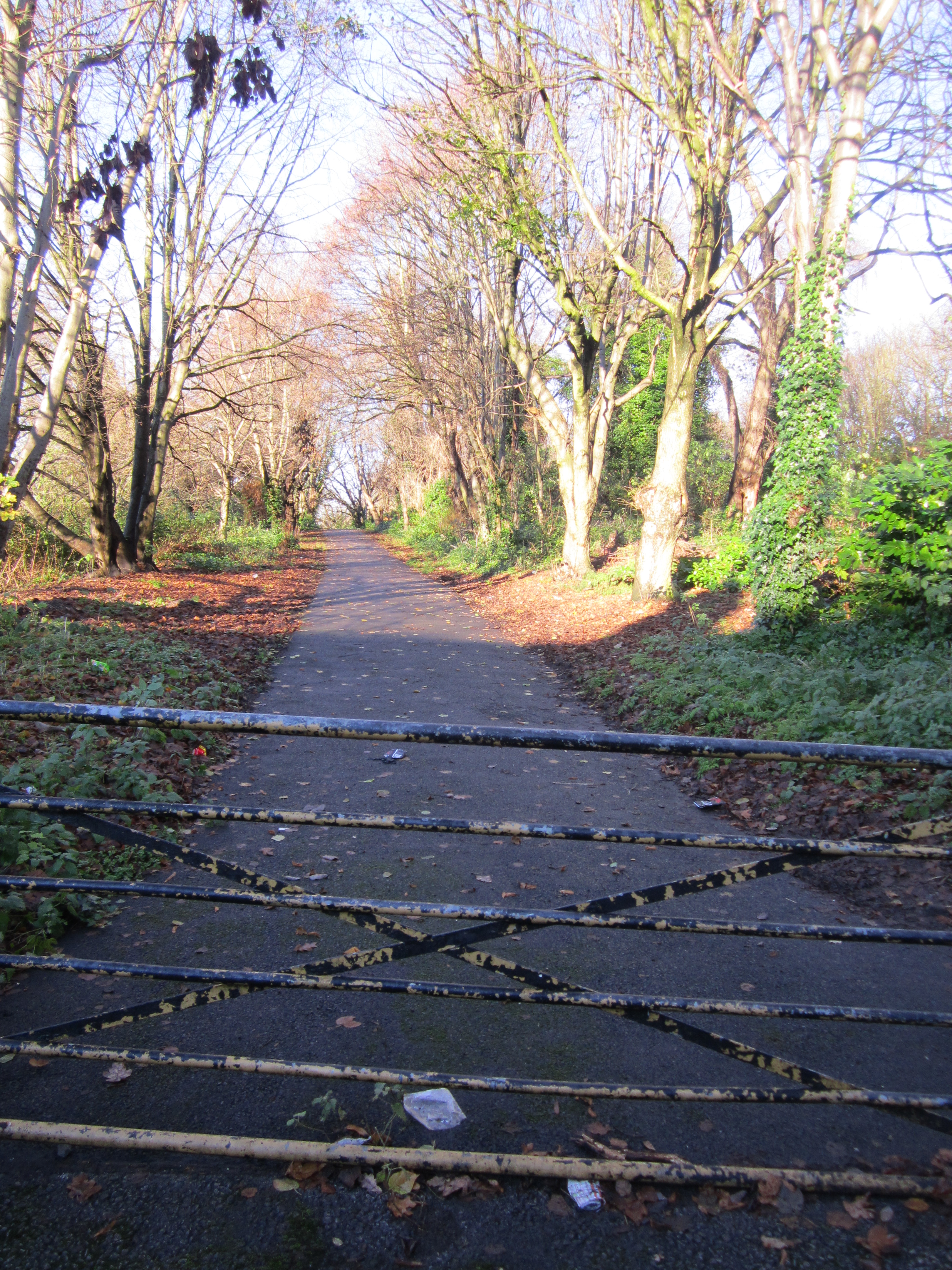
Childwall railway station
Childwall railway station was a station located on the North Liverpool Extension Line at Well Lane, Childwall, Liverpool. It opened on 1 December 1879...
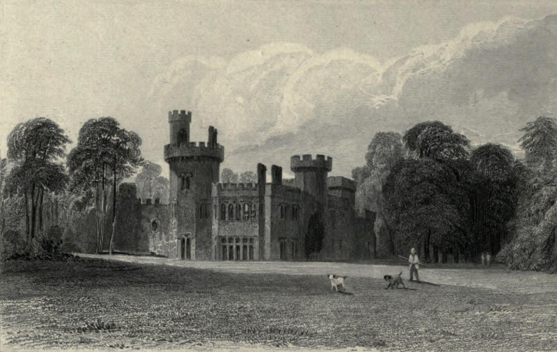
Childwall Hall
Childwall Hall was a 19th-century English country house located in Childwall, Liverpool, England. Built on the site of a previous mansion of the same name...
Nearby Amenities
Located within 500m of 53.395915,-2.88124Have you been to Childwall?
Leave your review of Childwall below (or comments, questions and feedback).