Colon Plantation

Wood, Forest in Devon South Hams

England

Colon Plantation

Old Bridge Marker on the B3186 in Yealmpton County Bridge Marker built into a stone wall off the ground and next to a fire hydrant on the west side of the B3186 Torr Hill 100 metres south of Torr Bridge, River Yealm. Yealmpton parish. Inscribed C to mark the extent of roadway adjoining the bridge that the County was obliged to maintain.

Milestone Society National ID: DV_TNPL16br
Old Bridge Marker on the B3186 in Yealmpton Credit: T Jenkinson

Colon Plantation, Devon, also known as Wood or Forest, is a remarkable natural haven located in the picturesque region of Devon, England. Covering an expansive area of land, this plantation is a popular destination for nature enthusiasts, hikers, and those seeking tranquility amidst stunning surroundings.

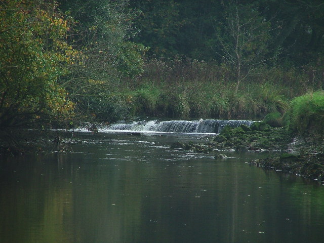
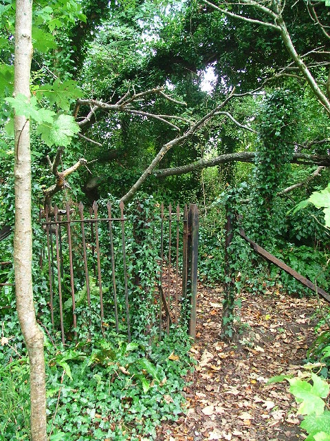
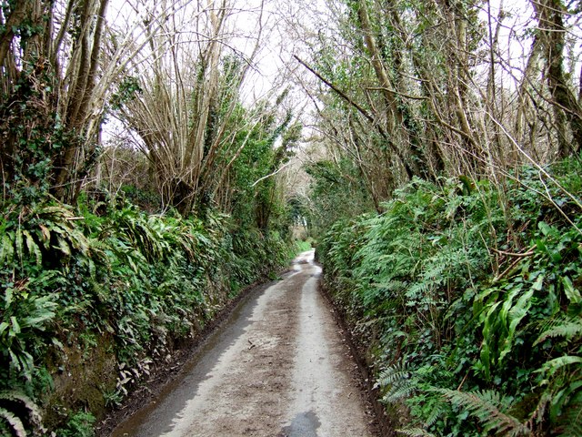
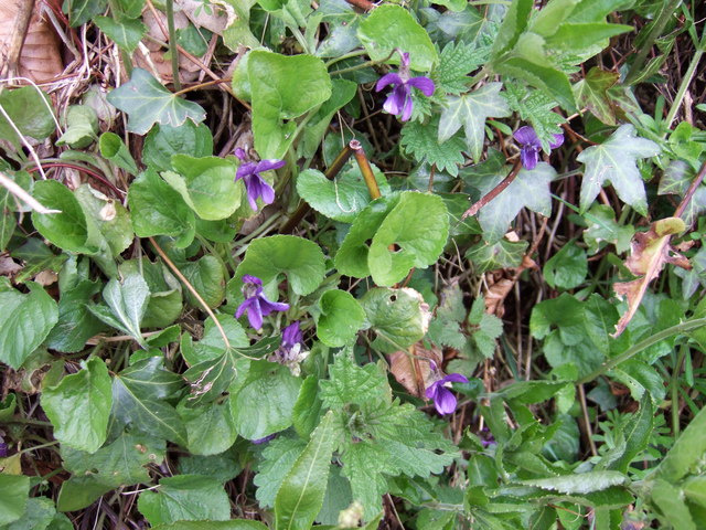
The plantation is characterized by its dense woodlands, which consist predominantly of native tree species such as oak, beech, and ash. These trees provide a rich habitat for a diverse range of flora and fauna, making it a haven for wildlife. Visitors can expect to encounter various bird species, small mammals, and even rare plants and flowers that thrive in this unique ecosystem.

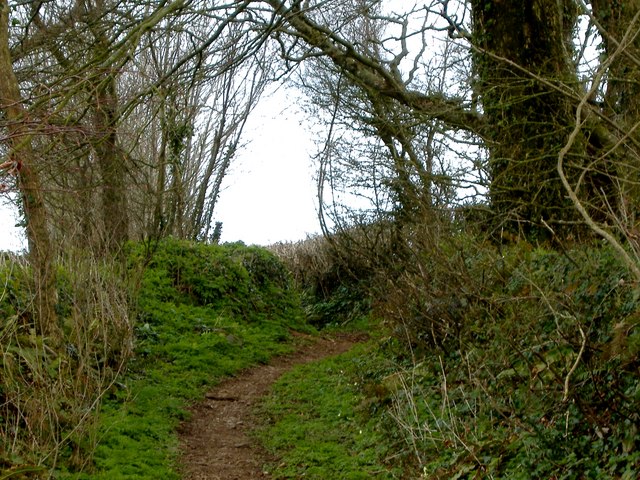
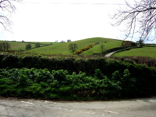
Trails and pathways crisscross the plantation, offering visitors the opportunity to explore its beauty on foot. These paths wind through the woodlands, revealing breathtaking vistas, babbling brooks, and peaceful meadows along the way. The plantation is also home to a number of picnic spots, providing visitors with the perfect opportunity to relax and take in the surroundings.

For those with a keen interest in history, Colon Plantation has a fascinating past. It was once an important timber source, supplying wood for the construction of ships during the naval expansion of the British Empire. Traces of this history can still be seen in the form of old saw pits and remnants of timber structures.

Overall, Colon Plantation, Devon, is a stunning natural oasis that offers a wealth of experiences for visitors. Whether it's exploring the woodlands, admiring the wildlife, or delving into its historical significance, this plantation is a must-visit destination for nature lovers and history buffs alike.

If you have any feedback on the listing, please let us know in the comments section below.

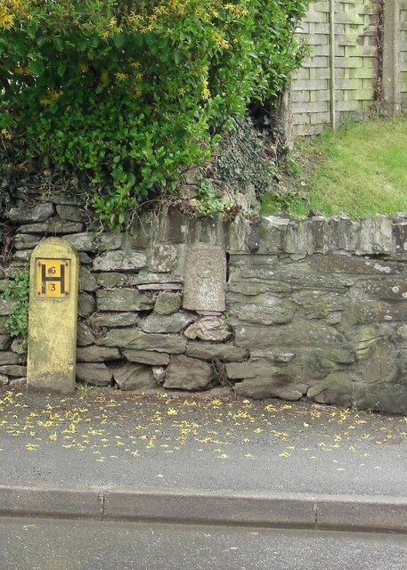
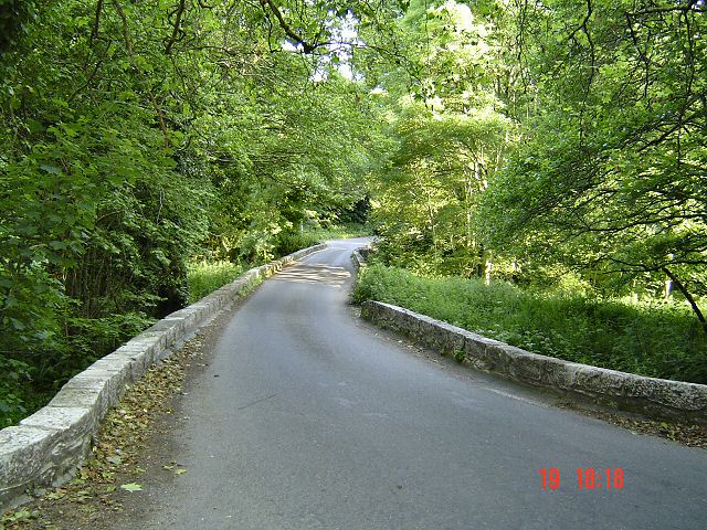
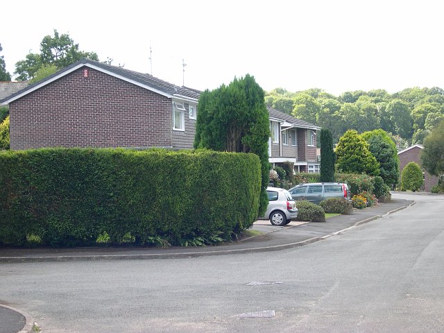
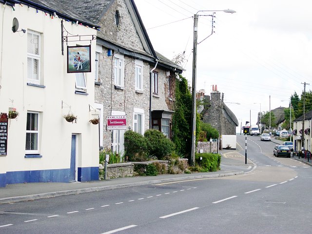
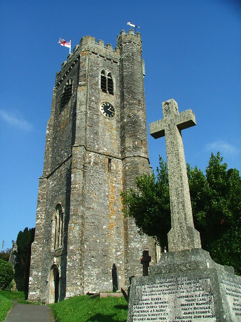
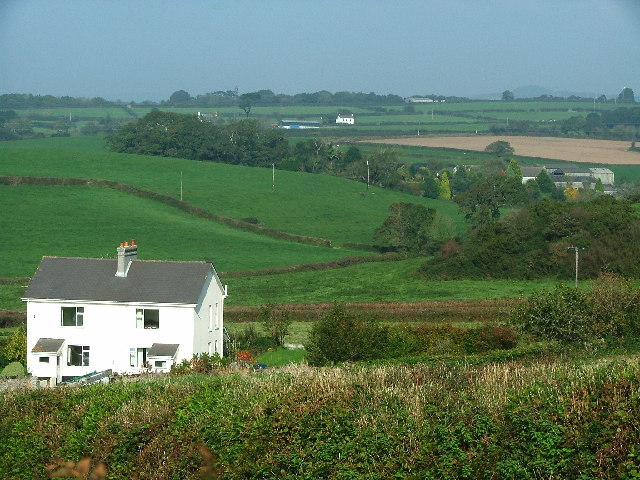
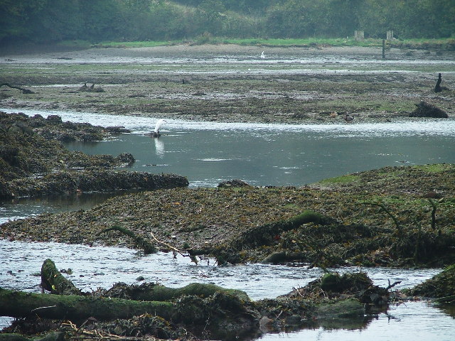
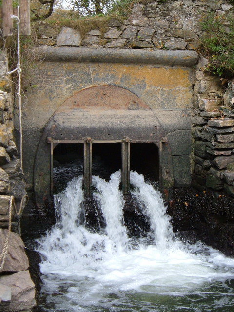
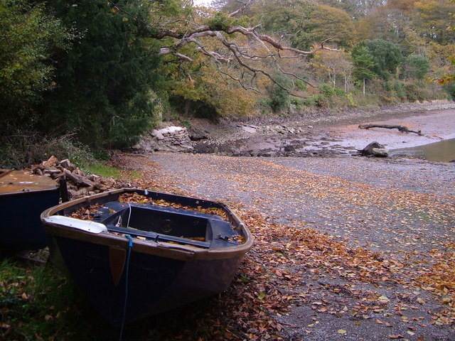
Colon Plantation Images

Images are sourced within 2km of 50.353592/-4.0168305 or Grid Reference SX5652. Thanks to Geograph Open Source API. All images are credited.

Old Bridge Marker on the B3186 in Yealmpton County Bridge Marker built into a stone wall off the ground and next to a fire hydrant on the west side of the B3186 Torr Hill 100 metres south of Torr Bridge, River Yealm. Yealmpton parish. Inscribed C to mark the extent of roadway adjoining the bridge that the County was obliged to maintain.

Milestone Society National ID: DV_TNPL16br
Old Bridge Marker on the B3186 in Yealmpton
County Bridge Marker built into a stone wall off the ground and next to a fire hydrant on the west side of the B3186 Torr Hill 100 metres south of Torr Bridge, River Yealm. Yealmpton parish. Inscribed C to mark the extent of roadway adjoining the bridge that the County was obliged to maintain. Milestone Society National ID: DV_TNPL16br
Bridge over River Yealm - South Devon
Modern housing estate, Yealmpton Some of the more recent new houses in Yealmpton village on the valley floor near the river Yealm.  The old village centre itself is situated a little way above the flood plain.
Modern housing estate, Yealmpton
Some of the more recent new houses in Yealmpton village on the valley floor near the river Yealm. The old village centre itself is situated a little way above the flood plain.
Yealmpton Village Centre The centre of Yealmpton is dominated by the main road which carries a constant stream of traffic and splits the higher part of the village from the lower southern side.
Yealmpton Village Centre
The centre of Yealmpton is dominated by the main road which carries a constant stream of traffic and splits the higher part of the village from the lower southern side.
St. Mary's Church, Brixton The village church and the memorial to the two world wars.
St. Mary's Church, Brixton
The village church and the memorial to the two world wars.
Sherford Valley Sherford Cottages, situated off the Brixton-Plympton road, sit in the foreground of this view of the Sherford valley (with East Sherford to the right-hand edge), currently (2005) the subject of planning permissions for a 'new town' development.
Sherford Valley
Sherford Cottages, situated off the Brixton-Plympton road, sit in the foreground of this view of the Sherford valley (with East Sherford to the right-hand edge), currently (2005) the subject of planning permissions for a 'new town' development.
Mudflats, River Yealm To the south of Kitley, the River Yealm disgorges out into a broad area of tidal mudflats, which is a haven for birdlife - a white egret being seen to left of centre.
Mudflats, River Yealm
To the south of Kitley, the River Yealm disgorges out into a broad area of tidal mudflats, which is a haven for birdlife - a white egret being seen to left of centre.
Tidal Weir, River Yealm Just below Yealmpton the 'narrow' River Yealm passes over a tidal weir before spreading out across a broad expanse of tidal mudflats.
Tidal Weir, River Yealm
Just below Yealmpton the 'narrow' River Yealm passes over a tidal weir before spreading out across a broad expanse of tidal mudflats.
Kissing Gate, Plymouth - Yealmpton railway Now lost in the woods, lying between the River Yealm and the course of Plymouth -Yealmpton railway line, this kissing gate reflects on past times, when there was a railway and people needed to cross it.
Kissing Gate, Plymouth - Yealmpton railway
Now lost in the woods, lying between the River Yealm and the course of Plymouth -Yealmpton railway line, this kissing gate reflects on past times, when there was a railway and people needed to cross it.
Lyneham House A fine house in a lovely setting
Lyneham House
A fine house in a lovely setting
Row of trees marking airstrip This row of trees marks the line of a disused airstrip.
Row of trees marking airstrip
This row of trees marks the line of a disused airstrip.
Lane near Cole Hill Plantation This is marked on the map as a "white" lane - which are often driveable - this one isn't !!!
Lane near Cole Hill Plantation
This is marked on the map as a "white" lane - which are often driveable - this one isn't !!!
Between Wollaton & Gorlofen Plantations A deep country lane in the South Hams district of Devon. Looking down the lane towards Gorlofen Farm (not visible in  photo).
Between Wollaton & Gorlofen Plantations
A deep country lane in the South Hams district of Devon. Looking down the lane towards Gorlofen Farm (not visible in photo).
View from Hareston Cross Hareston Farm is hidden in the fold of land on the left of the image.
View from Hareston Cross
Hareston Farm is hidden in the fold of land on the left of the image.
Violets in Devon Hedgerow Precisely which of the various species of British violets these are I'm not sure, but think that they're probably Viola riviniana, the Common Dog Violet
This is a link that may help you decide 
<span class="nowrap"><a title="http://www.floralimages.co.uk/page.php?taxon=viola_riviniana,1" rel="nofollow ugc noopener" href="http://www.floralimages.co.uk/page.php?taxon=viola_riviniana,1">Link</a><img style="margin-left:2px;" alt="External link" title="External link - shift click to open in new window" src="https://s1.geograph.org.uk/img/external.png" width="10" height="10"/></span>
Violets in Devon Hedgerow
Precisely which of the various species of British violets these are I'm not sure, but think that they're probably Viola riviniana, the Common Dog Violet This is a link that may help you decide LinkExternal link
Head of creek, Broad Ooze The head of the creek formed by Silverbridge Lake (a stream) as it enters the tidal area below Kitley Lake (a lake!), and which, jointly with the Yealm estuary, forms <a href="https://www.geograph.org.uk/photo/80072">SX5550 : Broad Ooze, River Yealm</a>. Warren Wood is on the far side. From the end of the lane leading down from Winston.
Head of creek, Broad Ooze
The head of the creek formed by Silverbridge Lake (a stream) as it enters the tidal area below Kitley Lake (a lake!), and which, jointly with the Yealm estuary, forms SX5550 : Broad Ooze, River Yealm. Warren Wood is on the far side. From the end of the lane leading down from Winston.
Sluice from Kitley Lake Silverbridge Lake emerges from the lake at Kitley through this sluice into the creek in <a href="https://www.geograph.org.uk/photo/277219">SX5551 : Head of creek, Broad Ooze</a>.
Sluice from Kitley Lake
Silverbridge Lake emerges from the lake at Kitley through this sluice into the creek in SX5551 : Head of creek, Broad Ooze.
Boat at creek head From the end of the lane below Winston, looking past <a href="https://www.geograph.org.uk/photo/277221">SX5551 : Sluice from Kitley Lake</a>, with <a href="https://www.geograph.org.uk/photo/277219">SX5551 : Head of creek, Broad Ooze</a> on the right.
Boat at creek head
From the end of the lane below Winston, looking past SX5551 : Sluice from Kitley Lake, with SX5551 : Head of creek, Broad Ooze on the right.
Show me another place!

Colon Plantation is located at Grid Ref: SX5652 (Lat: 50.353592, Lng: -4.0168305)

Administrative County: Devon

District: South Hams

Police Authority: Devon and Cornwall

What 3 Words

///resorting.horn.expel. Near Brixton, Devon

Related Wikis

Stamford Fort

Stamford Fort is a 19th-century fort, built as a result of the Royal Commission on National Defence of 1859. Part of an extensive scheme known as Palmerston...

Brixton, Devon

Brixton is a village, parish and former manor situated near Plymouth in South Hams, Devon, England. It is located on the A379 Plymouth to Kingsbridge road...
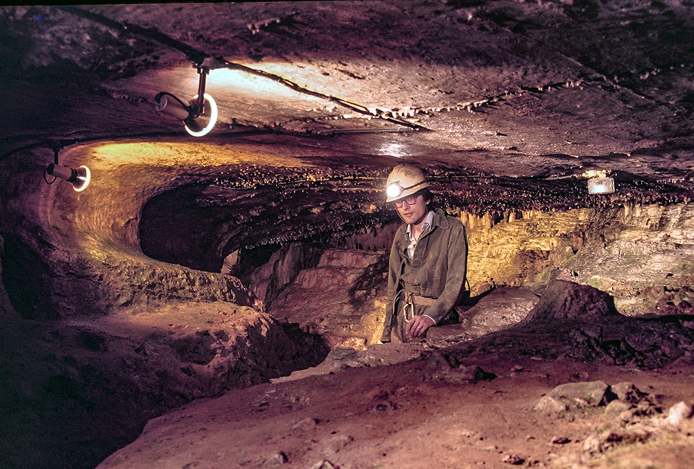
Kitley Show Cave

Kitley Show Cave is a solution cave in Yealmpton, Devon, England. Originally discovered by quarrying, it used to be open to the public as a show cave,...

Puslinch, Devon

Puslinch is a small but ancient rural locality to the south of Yealmpton village in the South Hams district of the county of Devon, England. The name Puslich...

Nearby Amenities

Located within 500m of 50.353592,-4.0168305
Direction: ESE
Generator Method: photovoltaic
Generator Output Electricity: yes
Generator Solar Modules: 8
Generator Source: solar
Generator Type: solar_photovoltaic_panel
Location: roof
Power: generator
Lat/Long: 50.3568686/-4.0157984
Direction: ESE
Generator Method: photovoltaic
Generator Output Electricity: yes
Generator Solar Modules: 8
Generator Source: solar
Generator Type: solar_photovoltaic_panel
Location: roof
Power: generator
Lat/Long: 50.3569337/-4.0157479
Ford: yes
Lat/Long: 50.3536719/-4.0235548
The data included in this document is from www.openstreetmap.org. The data is made available under ODbL.

Have you been to Colon Plantation?

Leave your review of Colon Plantation below (or comments, questions and feedback).