Middle Ball Plantation
Wood, Forest in Devon North Devon
England
Middle Ball Plantation

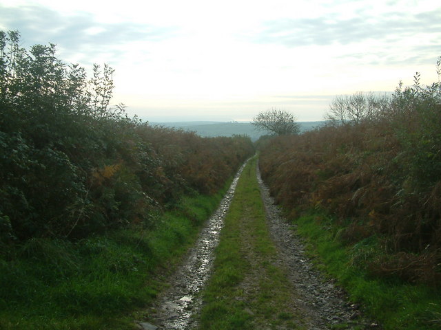
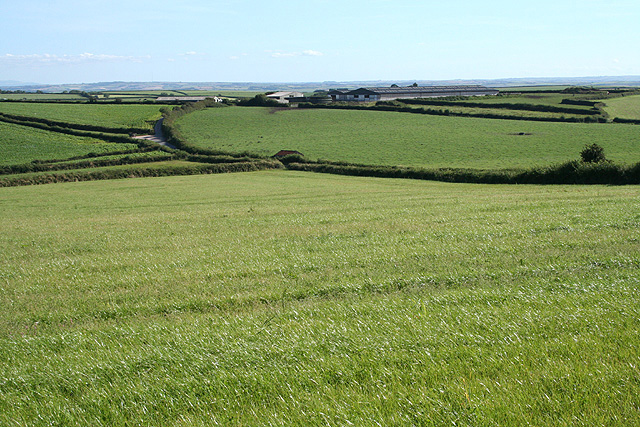
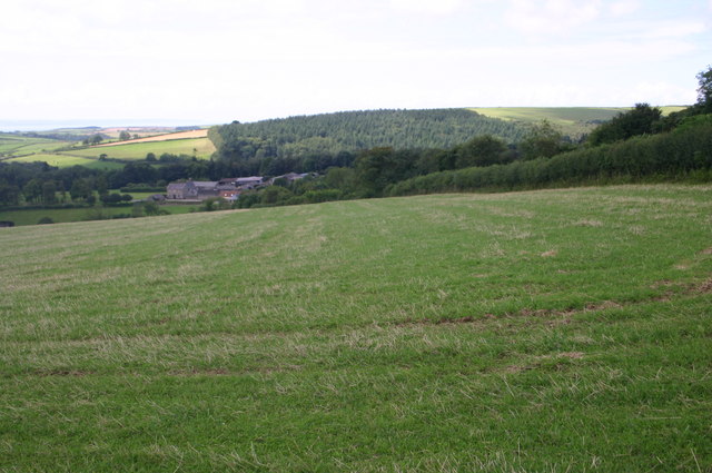
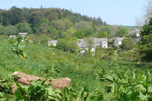
Middle Ball Plantation is a picturesque woodland located in the heart of Devon, England. Covering an area of approximately 100 acres, it is a well-preserved forest that offers visitors an enchanting escape into nature. The plantation is nestled amidst rolling hills and is surrounded by a diverse range of flora and fauna.
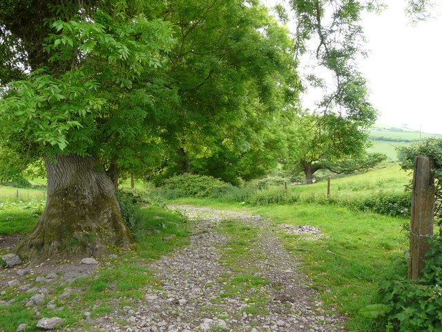
The woodland is predominantly composed of native tree species, including oak, beech, and birch, which create a dense canopy overhead. This provides a cool and shady atmosphere, perfect for leisurely walks and exploration. The forest floor is carpeted with a variety of wildflowers, ferns, and mosses, adding to the area's natural beauty.
Middle Ball Plantation is a haven for wildlife enthusiasts, as it supports a rich biodiversity. Visitors may spot a range of bird species such as woodpeckers, song thrushes, and tawny owls. The woodland is also home to small mammals like squirrels, foxes, and badgers, which can often be observed going about their daily activities.
The plantation offers several well-marked walking trails, catering to different levels of fitness and interest. These paths wind through the forest, allowing visitors to explore its various nooks and crannies. In addition to walking, the woodland is also popular for activities such as birdwatching, photography, and picnicking.
Middle Ball Plantation is a cherished natural gem in Devon, providing a tranquil and immersive experience in the heart of nature. Whether visitors are seeking solitude, adventure, or simply a break from the hustle and bustle of daily life, this woodland offers an idyllic setting for all.
If you have any feedback on the listing, please let us know in the comments section below.
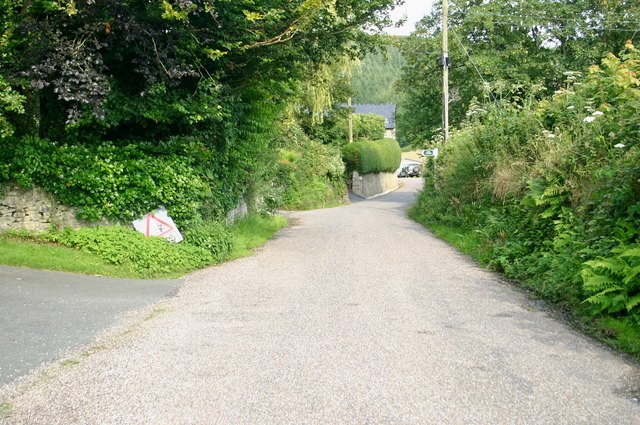
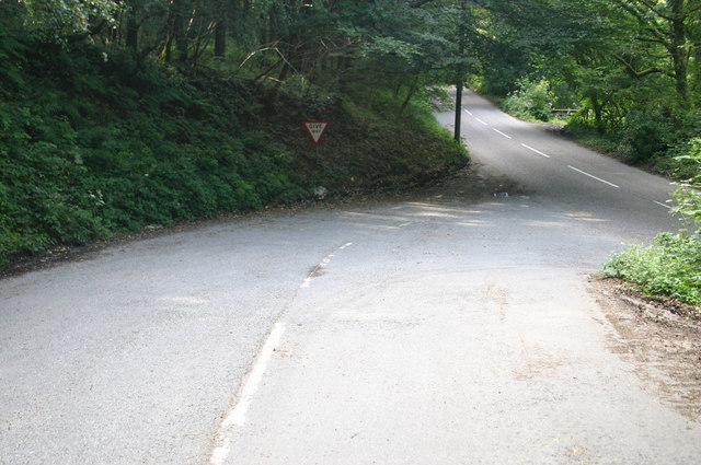
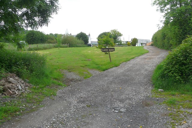
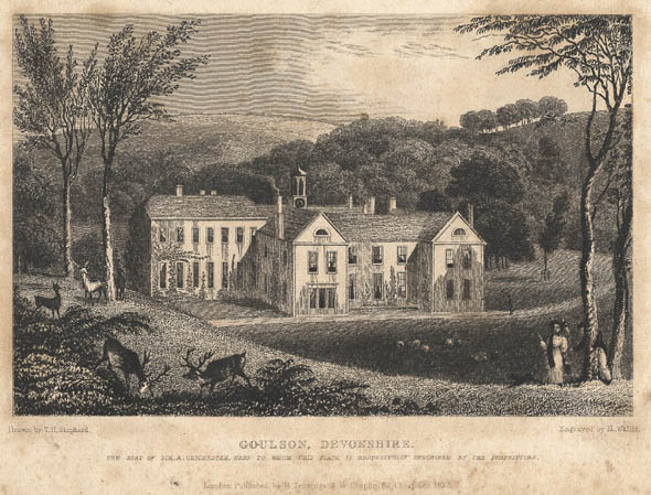
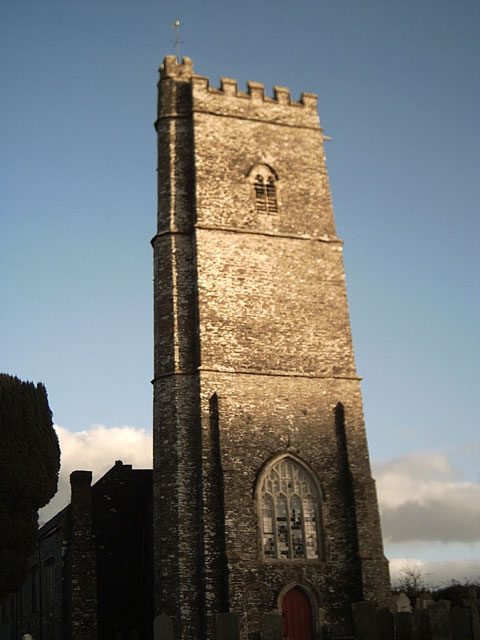
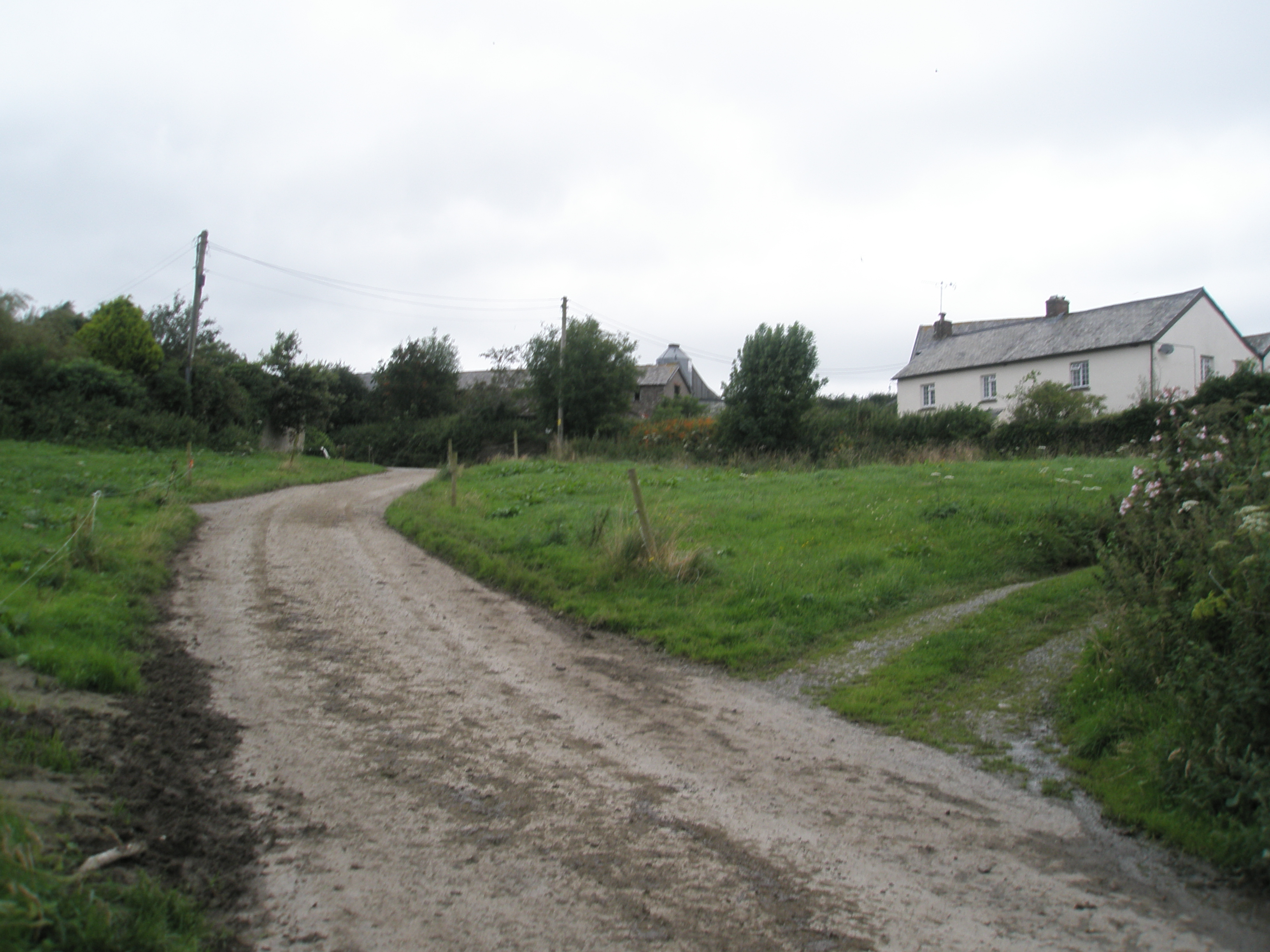
Middle Ball Plantation Images
Images are sourced within 2km of 51.131519/-4.0511882 or Grid Reference SS5638. Thanks to Geograph Open Source API. All images are credited.


Middle Ball Plantation is located at Grid Ref: SS5638 (Lat: 51.131519, Lng: -4.0511882)
Administrative County: Devon
District: North Devon
Police Authority: Devon and Cornwall
What 3 Words
///unopposed.steaming.betraying. Near Barnstaple, Devon
Nearby Locations
Related Wikis
Youlston Park
Youlston Park, also known as Youlston House, is a privately-owned 17th-century mansion house situated at Shirwell, near Barnstaple, North Devon, England...
Marwood, Devon
Marwood is a village in North Devon 3.5 miles (5.6 km) north of Barnstaple. The village contains 20 acres (81,000 m2) of ornamental gardens open to the...

Bittadon
Bittadon is a civil parish and former manor in the North Devon district of Devon, England. According to the 2001 census the parish had a population of...
Churchill, Devon
Churchill (colloquially known as Hollyhurst) is a hamlet in the north of Devon, England, and is located near the village of East Down, and the town of...
Church of St Peter, Shirwell
The Church of St Peter is the 13th-century Anglican parish church for the village of Shirwell in North Devon. It is a Grade I listed building and comes...

Tutshill Wood
Tutshill Wood is a wood in Devon, England, situated on the northern edge of Barnstaple, at the east end of a flat-topped ridge that runs from west to east...

Manor of Shirwell
The Manor of Shirwell was a manor in North Devon, England, centred on the village of Shirwell and largely co-terminous with the parish of Shirwell. It...

Shirwell
Shirwell is a village, civil parish and former manor in the local government district of North Devon, in the county of Devon, England. It was also formerly...
Nearby Amenities
Located within 500m of 51.131519,-4.0511882Have you been to Middle Ball Plantation?
Leave your review of Middle Ball Plantation below (or comments, questions and feedback).