Muddiford

Settlement in Devon North Devon

England

Muddiford

Shirwell: Plaistow Mill Now a private residence. The mill building is on the right and retained its waterwheel in 1997; it was powered by a leat from the Muddiford Water
Shirwell: Plaistow Mill Credit: Martin Bodman

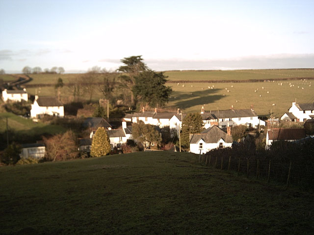
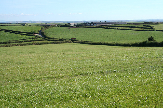
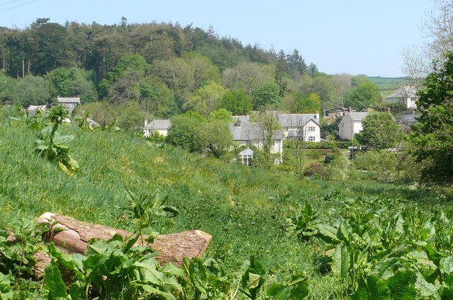
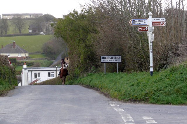
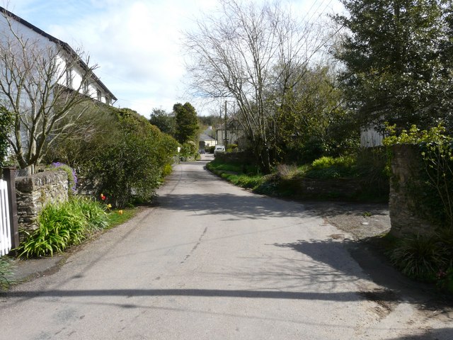
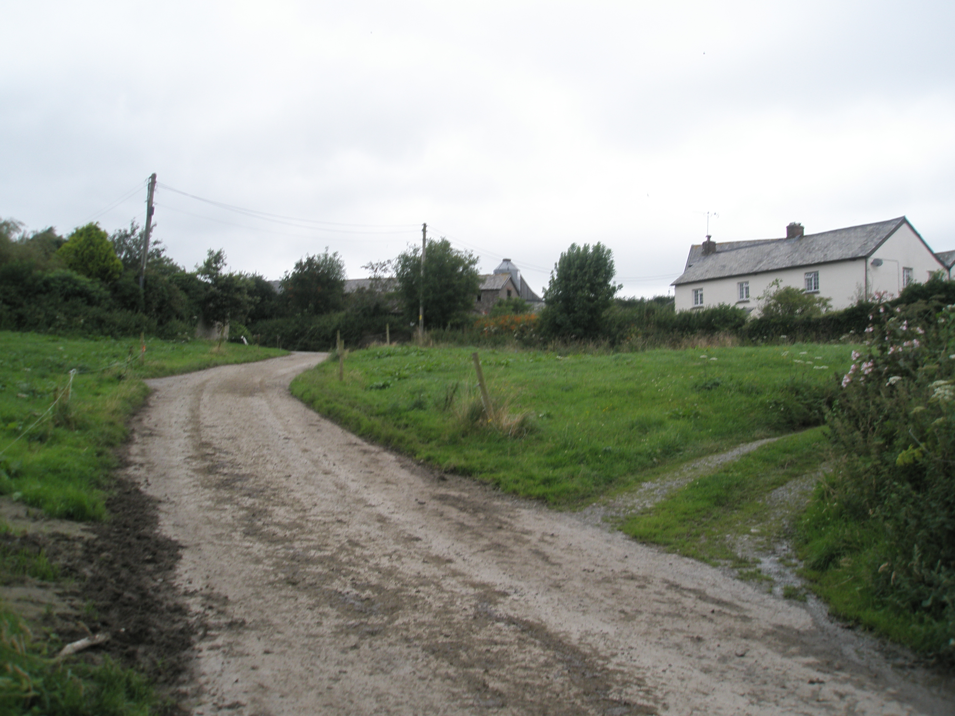
Muddiford is a small village located in the North Devon district of Devon, England. Situated just three miles northeast of the bustling town of Barnstaple, Muddiford offers a tranquil and picturesque setting surrounded by rolling hills and beautiful countryside.

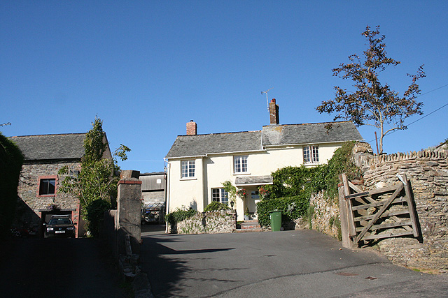
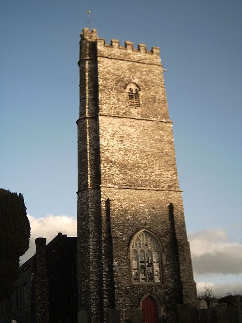
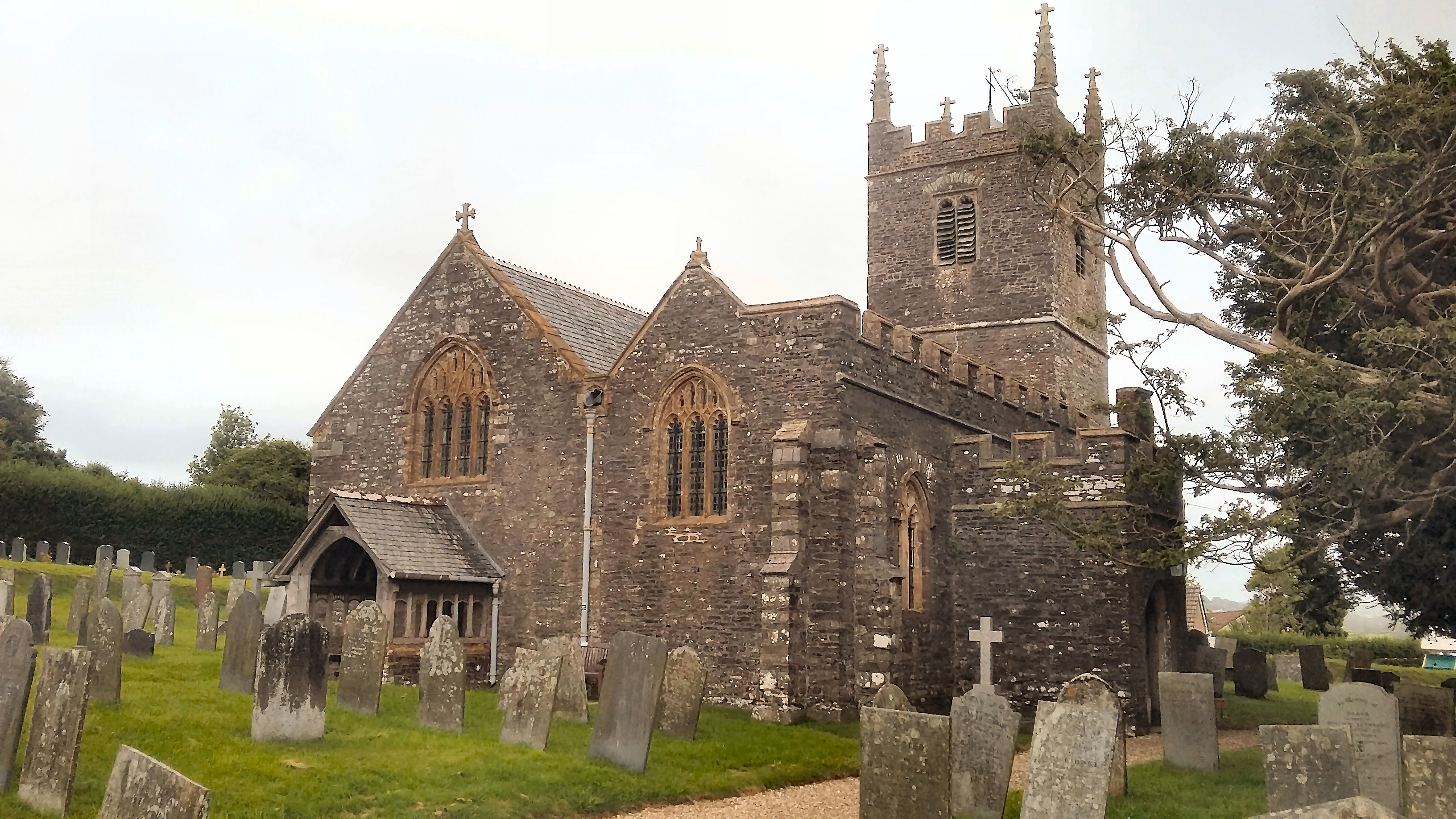
With a population of around 200 residents, Muddiford maintains a close-knit community atmosphere. The village is characterized by its charming thatched cottages, traditional stone houses, and well-preserved historic buildings. The local church, St. Peter's, is a prominent feature, dating back to the 14th century and offering a glimpse into Muddiford's rich history.

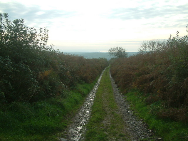
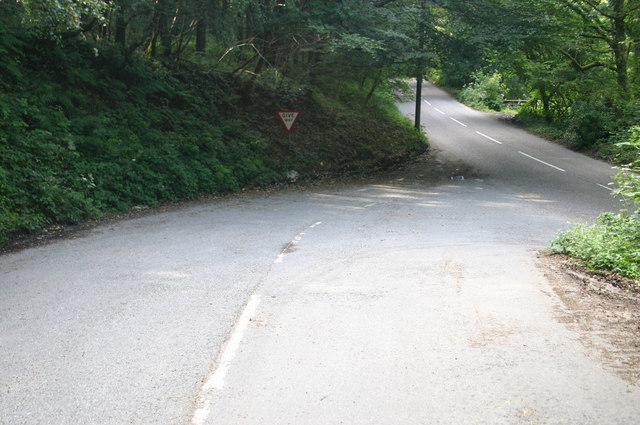
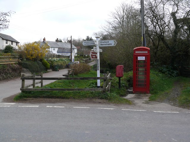
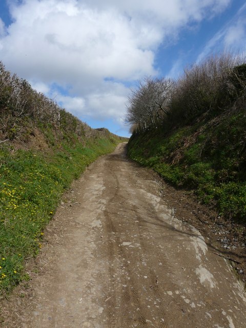
Despite its small size, Muddiford provides several amenities for its residents and visitors. The village boasts a cozy pub, The Hunter's Inn, where locals and tourists gather to enjoy a pint of local ale or a hearty meal. The surrounding area offers numerous walking and cycling trails, allowing visitors to explore the idyllic countryside and enjoy breathtaking views.

Muddiford's proximity to Barnstaple provides easy access to a wider range of amenities, including shops, supermarkets, schools, and healthcare facilities. The village also benefits from good transportation links, with regular bus services connecting Muddiford to Barnstaple and other nearby towns.

For those seeking a peaceful retreat away from the hustle and bustle of city life, Muddiford offers a charming and tranquil destination. Its natural beauty and friendly community make it an ideal place to unwind and enjoy the peaceful surroundings of rural Devon.

If you have any feedback on the listing, please let us know in the comments section below.
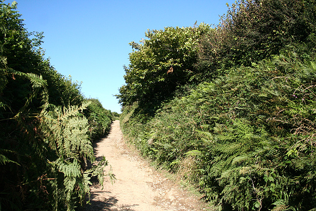
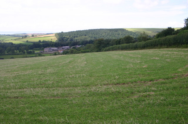
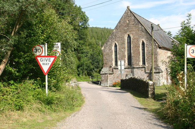
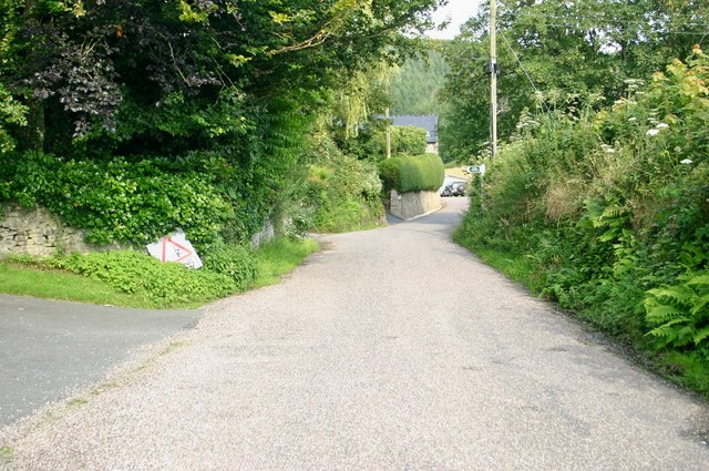
Muddiford Images

Images are sourced within 2km of 51.127927/-4.054592 or Grid Reference SS5638. Thanks to Geograph Open Source API. All images are credited.

Shirwell: Plaistow Mill Now a private residence. The mill building is on the right and retained its waterwheel in 1997; it was powered by a leat from the Muddiford Water
Shirwell: Plaistow Mill
Now a private residence. The mill building is on the right and retained its waterwheel in 1997; it was powered by a leat from the Muddiford Water
Guineaford
Guineaford
Rook Bear Lane on the way down Rook Bear Lane is a long track enclosed in by high hedges. This view is a few yards in from the top (North East end) looking towards the coast
Rook Bear Lane on the way down
Rook Bear Lane is a long track enclosed in by high hedges. This view is a few yards in from the top (North East end) looking towards the coast
Marwood: near Gipsy Corner Looking south
Marwood: near Gipsy Corner
Looking south
Marwood: farm at Kingsheanton Some of the buildings have now been converted for residential use. Looking north east
Marwood: farm at Kingsheanton
Some of the buildings have now been converted for residential use. Looking north east
Marwood: bridleway near Kingsheanton The bridleway links Kingsheanton with Higher Muddiford and Kennacott
Marwood: bridleway near Kingsheanton
The bridleway links Kingsheanton with Higher Muddiford and Kennacott
Fields looking towards Sloley Barton Fields looking towards Sloley Barton
Fields looking towards Sloley Barton
Looking from Whitefield hill to Whitefield Barton Looking from Whitefield hill to Whitefield Barton
Looking from Whitefield hill to Whitefield Barton
Chapel at Muddiford Chapel at Muddiford
Chapel at Muddiford
Chapel at Muddiford
Footpath at Higher Muddiford Footpath at Higher Muddiford
Footpath at Higher Muddiford
North lane junction with the B3230 North lane junction with the B3230
North lane junction with the B3230
Houses at Milltown
Houses at Milltown
Guineaford cross road
Wigley Cross, Guineaford
Kingsheanton near Guineaford
A bridleway leading out from Kingsheanton
Gypsy Corner
Gypsy Corner
Marwood Methodist Church Churches, synagogues, mosques, meeting halls and other places in the  North & Mid Devon districts where religious worship has been known to take place regularly.
Marwood Methodist Church
Churches, synagogues, mosques, meeting halls and other places in the North & Mid Devon districts where religious worship has been known to take place regularly.
Show me another place!

Muddiford is located at Grid Ref: SS5638 (Lat: 51.127927, Lng: -4.054592)

Administrative County: Devon

District: North Devon

Police Authority: Devon and Cornwall

What 3 Words

///faded.economics.spends. Near Barnstaple, Devon

Related Wikis

Marwood, Devon

Marwood is a village in North Devon 3.5 miles (5.6 km) north of Barnstaple. The village contains 20 acres (81,000 m2) of ornamental gardens open to the...

Youlston Park

Youlston Park, also known as Youlston House, is a privately-owned 17th-century mansion house situated at Shirwell, near Barnstaple, North Devon, England...

Bittadon

Bittadon is a civil parish and former manor in the North Devon district of Devon, England. According to the 2001 census the parish had a population of...

Tutshill Wood

Tutshill Wood is a wood in Devon, England, situated on the northern edge of Barnstaple, at the east end of a flat-topped ridge that runs from west to east...

Church of St Peter, Shirwell

The Church of St Peter is the 13th-century Anglican parish church for the village of Shirwell in North Devon. It is a Grade I listed building and comes...

Manor of Raleigh, Pilton

The historic manor of Raleigh, near Barnstaple and in the parish of Pilton, North Devon, England, was the first recorded home in the 14th century of the...

Pilton West

Pilton West is a rural civil parish of North Devon, Devon, England, immediately north-west of the suburb of Pilton in the town of Barnstaple. The parish...

Churchill, Devon

Churchill (colloquially known as Hollyhurst) is a hamlet in the north of Devon, England, and is located near the village of East Down, and the town of...

Nearby Amenities

Located within 500m of 51.127927,-4.054592
Muddiford
Is In: Devon, England, UK
Place: village
Lat/Long: 51.1261661/-4.0538421
Defibrillator
Booth: KX100
Covered: booth
Defibrillator Location: inside old phone box in Muddiford
Disused Amenity: telephone
Emergency: defibrillator
Man Made: telephone_box
Lat/Long: 51.1252851/-4.0534129
Place Of Worship
Muddiford United Reformed Church
Denomination: united_reformed
Node Id: 1827996449
Religion: christian
Source Name: OS Open Local Important Buildings Layer
Lat/Long: 51.1254446/-4.0552556
Pub
Muddiford Inn
Phone: +44 1271 850394
Website: https://www.themuddifordinn.co.uk/
Lat/Long: 51.1254816/-4.0537938
Ford: yes
Lat/Long: 51.1266513/-4.0561343
Generator Method: photovoltaic
Generator Output Electricity: yes
Generator Source: solar
Generator Type: solar_photovoltaic_panel
Location: roof
Power: generator
Lat/Long: 51.1254633/-4.0544983
Generator Method: photovoltaic
Generator Output Electricity: yes
Generator Source: solar
Generator Type: solar_photovoltaic_panel
Location: roof
Power: generator
Lat/Long: 51.1291151/-4.0582789
Generator Method: photovoltaic
Generator Output Electricity: yes
Generator Source: solar
Generator Type: solar_photovoltaic_panel
Location: roof
Power: generator
Lat/Long: 51.1289341/-4.0580616
Generator Method: photovoltaic
Generator Output Electricity: yes
Generator Source: solar
Generator Type: solar_photovoltaic_panel
Location: roof
Power: generator
Lat/Long: 51.1303132/-4.0489957
Generator Method: photovoltaic
Generator Output Electricity: yes
Generator Source: solar
Generator Type: solar_photovoltaic_panel
Location: roof
Power: generator
Lat/Long: 51.1303258/-4.0488978
Generator Method: photovoltaic
Generator Output Electricity: yes
Generator Source: solar
Generator Type: solar_photovoltaic_panel
Location: roof
Power: generator
Lat/Long: 51.1293512/-4.0482259
Bus Stop
Muddiford Post Box (S-bound)
Bench: no
Bin: no
Bus: yes
Departures Board: no
Naptan AtcoCode: 1100DEA10768
Naptan NaptanCode: dvnamwpa
Operator: Stagecoach South West
Operator Wikidata: Q7596866
Operator Wikipedia: https://en.wikipedia.org/wiki/Stagecoach_South_West
Public Transport: platform
Shelter: no
Tactile Paving: no
Lat/Long: 51.1272935/-4.0559202
Bus Stop
Muddiford Post Box (N-bound)
Bench: no
Bin: no
Bus: yes
Departures Board: no
Naptan AtcoCode: 1100DEA10769
Naptan NaptanCode: dvnamwmt
Operator: Stagecoach South West
Operator Wikidata: Q7596866
Operator Wikipedia: https://en.wikipedia.org/wiki/Stagecoach_South_West
Public Transport: platform
Shelter: no
Tactile Paving: no
Lat/Long: 51.127218/-4.0559983
The data included in this document is from www.openstreetmap.org. The data is made available under ODbL.

Have you been to Muddiford?

Leave your review of Muddiford below (or comments, questions and feedback).