Childerley Gate

Settlement in Cambridgeshire South Cambridgeshire

England

Childerley Gate

Scotland Farm entrance Looking west from Scotland Road, Dry Drayton. Time about 5pm.
Scotland Farm entrance Credit: Jeff Bronks

Childerley Gate is a small village located in the county of Cambridgeshire, England. Situated approximately 6 miles to the west of the city of Cambridge, Childerley Gate is a rural settlement surrounded by picturesque countryside and farmland.

The village is known for its historical significance, with the main attraction being Childerley Hall, a Grade I listed building. This impressive manor house dates back to the 16th century and is renowned for its stunning architecture and beautiful gardens. The hall has seen various owners throughout its history and has been well-preserved, offering visitors a glimpse into the region's past.

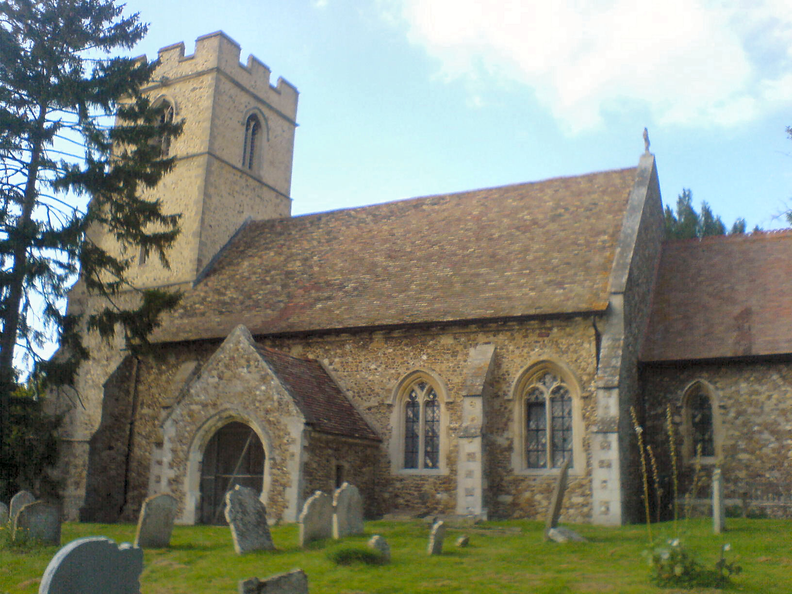
In addition to the hall, Childerley Gate boasts a charming church dedicated to St. Margaret. This Grade II listed building is an architectural gem, featuring a Norman tower and a beautiful interior adorned with medieval stained glass windows.

Despite its small size, the village has a tight-knit community and a friendly atmosphere. The residents take great pride in their surroundings and actively participate in local events and initiatives. The village also benefits from its proximity to Cambridge, offering residents easy access to the amenities and cultural attractions of a bustling city.

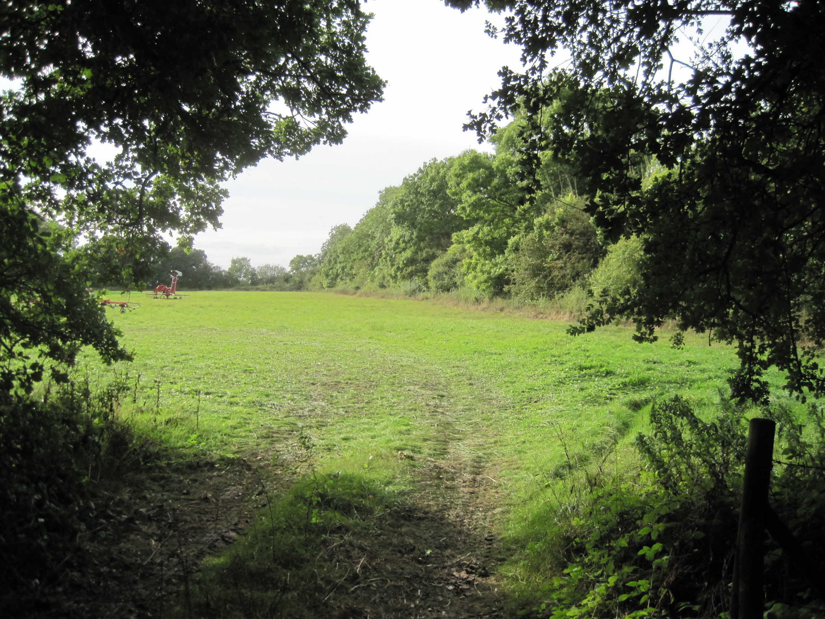
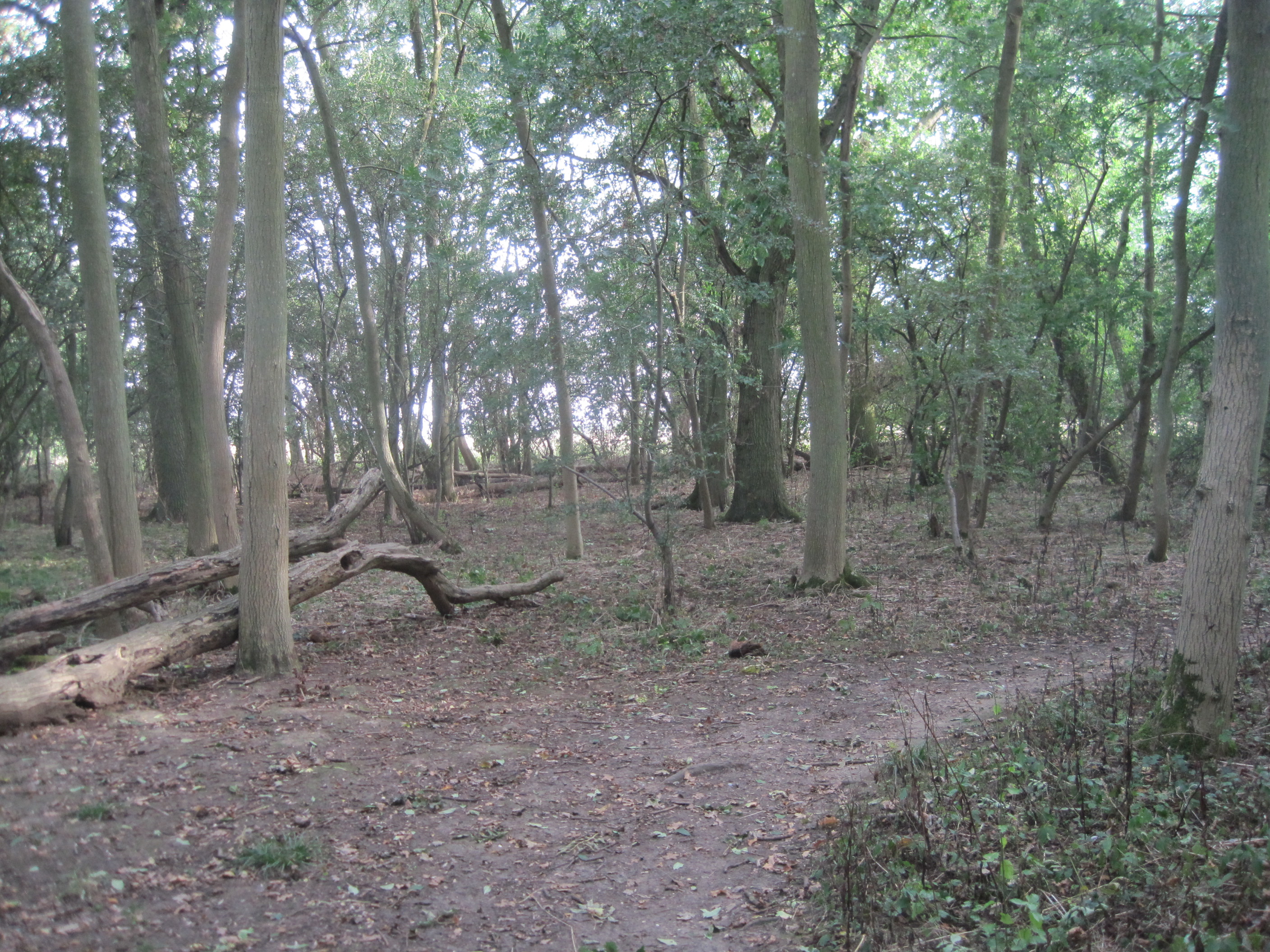
Childerley Gate is a haven for nature lovers, with numerous walking and cycling routes in the surrounding countryside. The village is also home to a variety of wildlife, making it an ideal location for birdwatching and nature enthusiasts.

Overall, Childerley Gate is a delightful village that combines historical charm with the tranquility of rural living. Its idyllic setting and strong community spirit make it a desirable place to reside or visit in Cambridgeshire.

If you have any feedback on the listing, please let us know in the comments section below.

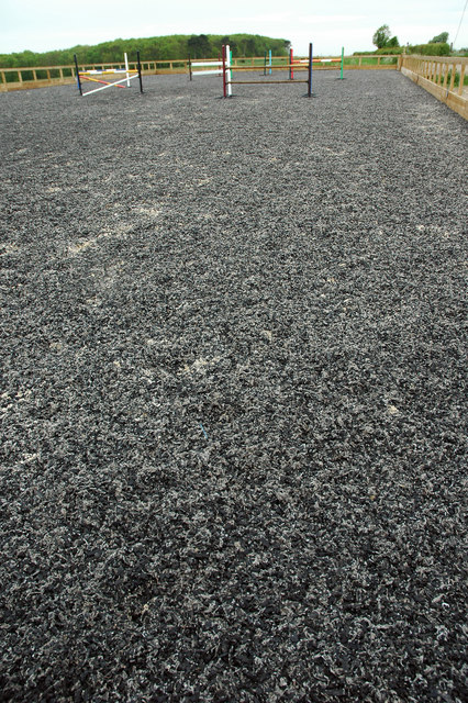
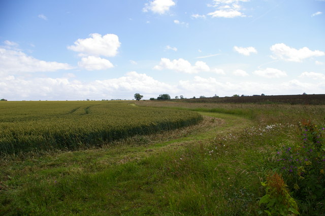
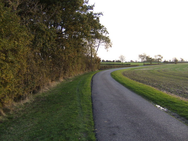
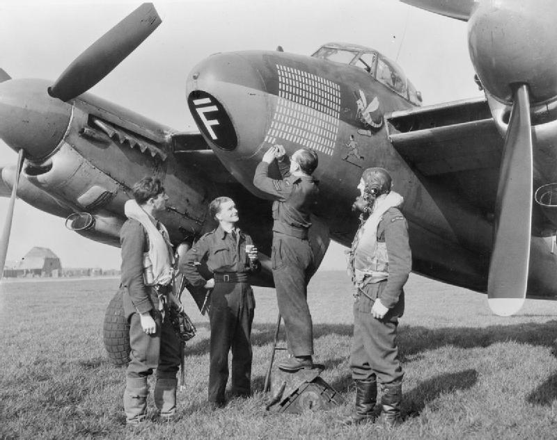
Childerley Gate Images

Images are sourced within 2km of 52.218306/-0.01766 or Grid Reference TL3559. Thanks to Geograph Open Source API. All images are credited.

Scotland Farm entrance Looking west from Scotland Road, Dry Drayton. Time about 5pm.
Scotland Farm entrance
Looking west from Scotland Road, Dry Drayton. Time about 5pm.
The chapel at Childerley Hall A private chapel, but opened for Christmas and Harvest Festival services, apparently. The rest of the hall looks interesting, but not much is visible without trespassing.
The chapel at Childerley Hall
A private chapel, but opened for Christmas and Harvest Festival services, apparently. The rest of the hall looks interesting, but not much is visible without trespassing.
LPG store, Childerley Hall farm Formerly a grain store (note the stilts designed to raise it away from the rats), this building now holds more explosive contents.
LPG store, Childerley Hall farm
Formerly a grain store (note the stilts designed to raise it away from the rats), this building now holds more explosive contents.
Courses for horses Horse jumping practice ring at Bird's Pastures Farm, near Knapwell. The surface of the practice ring is made from chopped up car tyres. Very green.
Courses for horses
Horse jumping practice ring at Bird's Pastures Farm, near Knapwell. The surface of the practice ring is made from chopped up car tyres. Very green.
Farmland The edge of a wheat (I think) field near Bird's Pastures Farm.
Farmland
The edge of a wheat (I think) field near Bird's Pastures Farm.
Old orchard near Childerley This small stand of old apple trees sits central to the grid square by the road to Childerley Hall.
Old orchard near Childerley
This small stand of old apple trees sits central to the grid square by the road to Childerley Hall.
Road to Childerley Gate A ploughed field beside a well-maintained estate road.
Road to Childerley Gate
A ploughed field beside a well-maintained estate road.
Stables at New Farm Can you spot the horse in this picture?
Stables at New Farm
Can you spot the horse in this picture?
Dry Drayton Industries A small industrial estate just off the St Neot's road
Dry Drayton Industries
A small industrial estate just off the St Neot's road
Houses on Scotland Road
Dry Drayton Alpacas The herd has been based at Scotland Farm since 2003 breeding animals for sale. Prices start around £2,500.
Dry Drayton Alpacas
The herd has been based at Scotland Farm since 2003 breeding animals for sale. Prices start around £2,500.
Brown cria at Dry Drayton Alpacas n. cria (plural crias). (1) A young South American camelid (llama, vicuna, or alpaca). 

Etymology: Spanish criar, to give birth

(Wiktionary)
Brown cria at Dry Drayton Alpacas
n. cria (plural crias). (1) A young South American camelid (llama, vicuna, or alpaca). Etymology: Spanish criar, to give birth (Wiktionary)
Scotland Farm
Scotland Farm
Chapel at Childerley Hall By the lake.
Chapel at Childerley Hall
By the lake.
Childerley Hall The surviving wing of an Elizabethan House, where Charles I was once held under house arrest. For more details, see <span class="nowrap"><a title="http://www.childerley.org/" rel="nofollow ugc noopener" href="http://www.childerley.org/">Link</a><img style="margin-left:2px;" alt="External link" title="External link - shift click to open in new window" src="https://s1.geograph.org.uk/img/external.png" width="10" height="10"/></span>
Childerley Hall
The surviving wing of an Elizabethan House, where Charles I was once held under house arrest. For more details, see LinkExternal link
Hardwick, St Mary <span class="nowrap"><a title="http://www.druidic.org/camchurch/churches/hardwick.htm" rel="nofollow ugc noopener" href="http://www.druidic.org/camchurch/churches/hardwick.htm">Link</a><img style="margin-left:2px;" alt="External link" title="External link - shift click to open in new window" src="https://s1.geograph.org.uk/img/external.png" width="10" height="10"/></span>
Hardwick, St Mary
Car repair shop in Hardwick
Enterprise Cafe, Hardwick This was a bustling transport caff before the road was realigned and upgraded; it is now a shadow of its former self.  In the far background, you can see a customer at the current version of the cafe, a small portakabin.
Enterprise Cafe, Hardwick
This was a bustling transport caff before the road was realigned and upgraded; it is now a shadow of its former self. In the far background, you can see a customer at the current version of the cafe, a small portakabin.
Show me another place!

Childerley Gate is located at Grid Ref: TL3559 (Lat: 52.218306, Lng: -0.01766)

Administrative County: Cambridgeshire

District: South Cambridgeshire

Police Authority: Cambridgeshire

What 3 Words

///canyons.hounded.twitches. Near Cambourne, Cambridgeshire

Related Wikis

RAF Bourn

Royal Air Force Bourn or more simply RAF Bourn is a former Royal Air Force station located 2 miles (3.2 km) north of Bourn, Cambridgeshire and 6.9 miles...

Bourn Airfield

Bourn Airport (IATA: n/a, ICAO: EGSN) is located 7 NM (13 km; 8.1 mi) west of Cambridge, Cambridgeshire, England. The airfield was originally constructed...

Caldecote Meadows

Caldecote Meadows is a 9.1-hectare (22-acre) biological Site of Special Scientific Interest in Caldecote in Cambridgeshire.The site is herb-rich calcareous...

Childerley

Childerley, also known as Great Childerley and Little Childerly, was a small rural village in the county of Cambridgeshire in the East of England, United...

Hardwick, Cambridgeshire

Hardwick is a village and civil parish in the county of Cambridgeshire, England with a large housing estate located about 6 miles (9.7 km) west of the...

Caldecote, South Cambridgeshire

Caldecote is a village and civil parish in Cambridgeshire, in the district of South Cambridgeshire, England. It lies south of the A428, approximately six...

Hardwick Wood

Hardwick Wood is a 15.5-hectare (38-acre) biological Site of Special Scientific Interest southwest of Hardwick in Cambridgeshire. It is managed by the...

Cambourne Church

Cambourne Church is a "local ecumenical partnership" between the Church of England, Baptist Union of Great Britain, Methodist Church of Great Britain and...

Nearby Amenities

Located within 500m of 52.218306,-0.01766
Mini Roundabout
Direction: clockwise
Lat/Long: 52.21498/-0.017176
Childerley Gate
Is In: Cambridgeshire, England, UK
Place: hamlet
Population: 20
Source Name: local knowledge
Source Population: http://www.scambs.gov.uk/CommunityandLiving/VillageServicesAndAmenities/
Lat/Long: 52.2193533/-0.0173342
Post Box
Collection Times: Mo-Fr 09:00; Sa 07:00
Operator: Royal Mail
Ref: CB23 291
Source: survey
Lat/Long: 52.2190284/-0.0189378
Post Box
Brand: Royal Mail
Brand Wikidata: Q638098
Brand Wikipedia: en:Royal Mail
Collection Times: Mo-Fr 16:30; Sa 10:15
Operator: Royal Mail
Operator Wikidata: Q638098
Post Box Type: pillar
Ref: CB23 251
Royal Cypher: EIIR
Royal Cypher Wikidata: Q33102113
Source: survey
Lat/Long: 52.2139005/-0.0179977
Parking
Note: lay-by
Source: GPS
Lat/Long: 52.2196727/-0.0145162
Bus Stop
Highfields Road
Naptan AtcoCode: 0500SCALD003
Naptan Bearing: E
Naptan CommonName: Highfields Road
Naptan Indicator: opp
Naptan Landmark: Highfields Road
Naptan NaptanCode: cmbdtwdm
Naptan Street: St Neots Road
Naptan Verified: no
Operator: Stagecoach
Public Transport: platform
Shelter: yes
Source: naptan_import
Lat/Long: 52.2190872/-0.0191879
Bus Stop
Highfields Road
Naptan AtcoCode: 0500SCALD004
Naptan Bearing: W
Naptan BusStopType: CUS
Naptan CommonName: Highfields Road
Naptan Indicator: near
Naptan Landmark: Highfields Road
Naptan NaptanCode: cmbdtwdp
Naptan Street: St Neots Road
Naptan Verified: no
Public Transport: platform
Source: naptan_import
Lat/Long: 52.2189764/-0.0193834
Note Splitway: Stagecoach route 14 terminates and originifies here.
Lat/Long: 52.2190216/-0.0192905
Phone
Emergency: phone
Lat/Long: 52.2196566/-0.0143873
Traffic Calming: island
Lat/Long: 52.2151276/-0.017106
Bicycle Parking
Bicycle Parking: stands
Capacity: 6
Covered: no
Lat/Long: 52.2190155/-0.0188787
Fortitude Fitness Centre
Addr City: Cambridge
Addr Postcode: CB23 7NS
Addr Street: Highfields Road
Addr Village: Highfields Caldecote
Leisure: fitness_centre
Sport: fitness
Website: https://www.fortitudefitnesscentre.co.uk/
Lat/Long: 52.2153526/-0.0154924
Traffic Calming: cushion
Lat/Long: 52.21524/-0.0170632
Uniplumb
Addr City: Cambridge
Addr Housenumber: 117
Addr Postcode: CB23 7NX
Addr Street: Highfields Road
Addr Village: Highfields Caldecote
Craft: plumber
Email: info@uniplumb.com
Phone: +441954212553
Website: https://www.uniplumb.com/
Lat/Long: 52.2138973/-0.0181579
The data included in this document is from www.openstreetmap.org. The data is made available under ODbL.

Have you been to Childerley Gate?

Leave your review of Childerley Gate below (or comments, questions and feedback).