Chilcote
Settlement in Leicestershire North West Leicestershire
England
Chilcote
Chilcote is a small rural village located in the county of Leicestershire, England. Situated approximately 5 miles southeast of Ashby-de-la-Zouch, the village is nestled amidst picturesque countryside, offering residents and visitors a tranquil and idyllic setting.
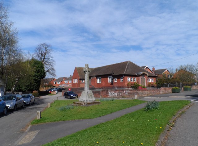
The village is home to a small population, with around 150 residents living in a mix of traditional and modern houses. Chilcote maintains its rural charm, with a scattering of historic buildings that add character to the area. The local community is close-knit and friendly, with regular social events and gatherings that foster a sense of belonging.
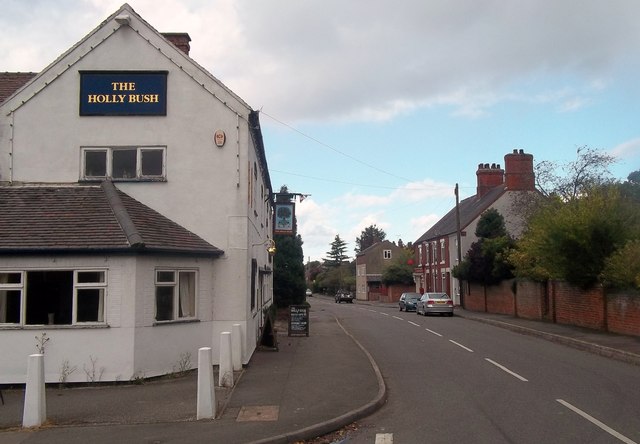
Despite its small size, Chilcote has a surprising range of amenities for its residents. There is a popular village pub, which serves as a hub for socializing and is renowned for its hearty meals. Additionally, a village hall provides space for various recreational activities and community events.
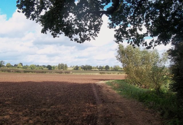
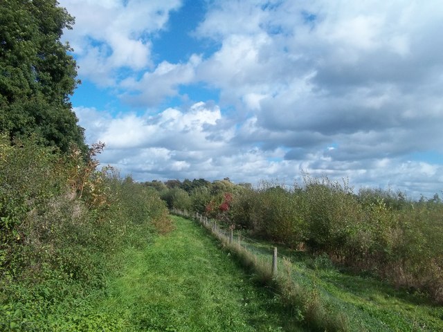
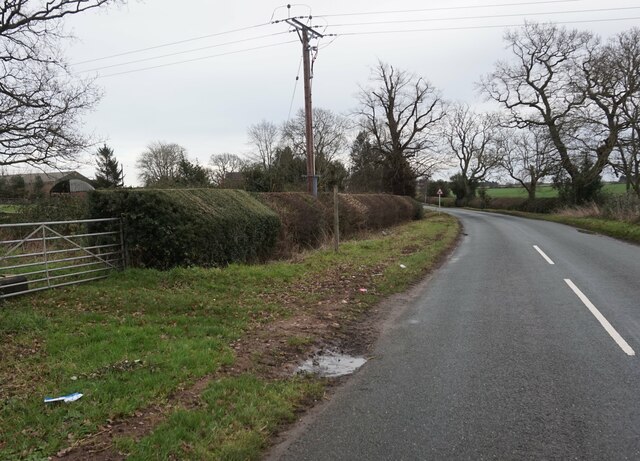
Nature lovers will appreciate the surrounding countryside, as Chilcote is located near several nature reserves and walking trails. The village is an excellent base for exploring the beautiful Leicestershire countryside and its many attractions, such as the nearby National Forest and Calke Abbey.
While Chilcote may not offer extensive shopping or entertainment options within its boundaries, the village is conveniently located within a short drive of larger towns and cities. The town of Ashby-de-la-Zouch provides a wider range of amenities, including supermarkets, shops, and additional leisure facilities.
In summary, Chilcote is a charming and peaceful village in Leicestershire, offering a close-knit community, beautiful countryside, and easy access to nearby towns and attractions.
If you have any feedback on the listing, please let us know in the comments section below.
Chilcote Images
Images are sourced within 2km of 52.699849/-1.580302 or Grid Reference SK2811. Thanks to Geograph Open Source API. All images are credited.


Chilcote is located at Grid Ref: SK2811 (Lat: 52.699849, Lng: -1.580302)
Administrative County: Leicestershire
District: North West Leicestershire
Police Authority: Leicestershire
What 3 Words
///snowballs.midfield.factories. Near Donisthorpe, Leicestershire
Related Wikis

Chilcote
Chilcote is a village and civil parish in the North West Leicestershire district of Leicestershire, England. Until 1897 it was in Derbyshire. The parish...

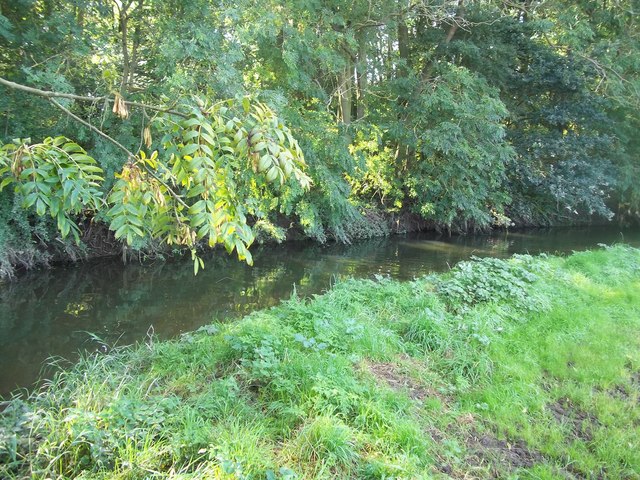
River Mease SSSI
River Mease SSSI is a 23.0 hectares (57 acres) biological Site of Special Scientific Interest. It is a stretch of the River Mease and its tributary Gilwiskaw...
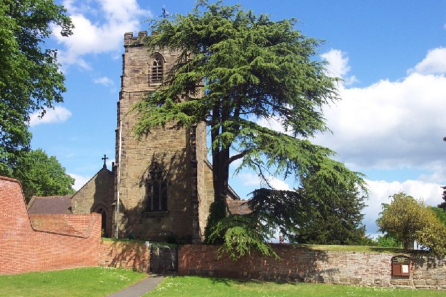
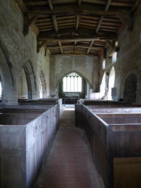
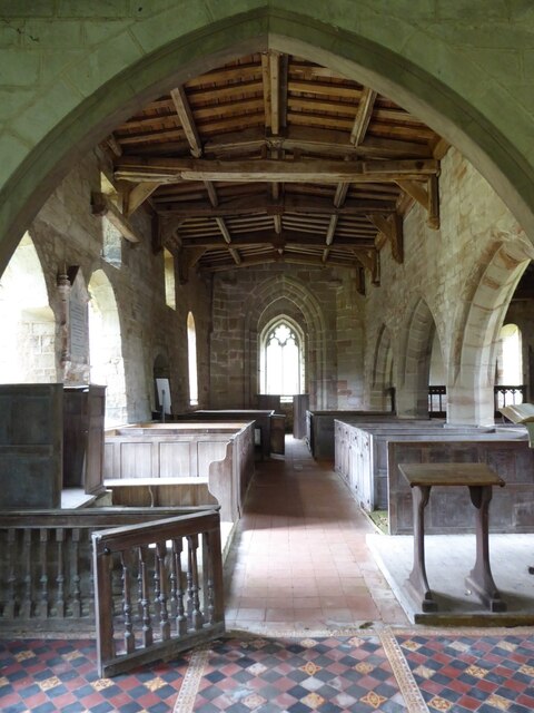
St Peter's Church, Netherseal
St Peter's Church, Netherseal is a Grade II* listed parish church in the Church of England in Netherseal, Derbyshire. == History == The church dates from...
Netherseal
Netherseal (or 'Netherseale') is a village and civil parish in the English county of Derbyshire, situated in the South Derbyshire district. Together with...

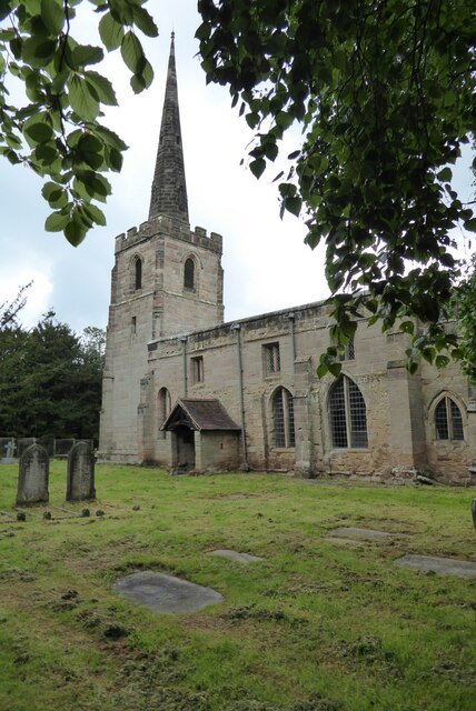
St Michael's Church, Stretton en le Field
St Michael's Church is a redundant Anglican church in the village of Stretton en le Field, Leicestershire, England (grid reference SK303119). It is recorded...
Stretton en le Field
Stretton en le Field is a small village and civil parish in the North West Leicestershire district of Leicestershire, England, about 7 miles/11 km south...

Acresford
Acresford is a hamlet in North West Leicestershire, it shares civil parish authorities with Donisthorpe and Oakthorpe and forms part of the border with...
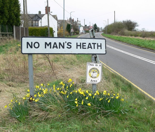
No Man's Heath, Warwickshire
No Man's Heath is an area of the civil parish of Newton Regis, in the North Warwickshire district, in the county of Warwickshire, England, about 6 miles...
Nearby Amenities
Located within 500m of 52.699849,-1.580302Have you been to Chilcote?
Leave your review of Chilcote below (or comments, questions and feedback).