Eastern Wood

Wood, Forest in Devon West Devon

England

Eastern Wood

Huckworthy Bridge Grade II* listed late 15th or early 16th century bridge over the River Walkham. <span class="nowrap"><a title="https://historicengland.org.uk/listing/the-list/list-entry/1171550" rel="nofollow ugc noopener" href="https://historicengland.org.uk/listing/the-list/list-entry/1171550">Link</a><img style="margin-left:2px;" alt="External link" title="External link - shift click to open in new window" src="https://s1.geograph.org.uk/img/external.png" width="10" height="10"/></span> The bridge is just wide enough to allow a car to pass.
Huckworthy Bridge Credit: Vieve Forward

Eastern Wood is a picturesque forest located in the county of Devon, in the southwestern part of England. Covering an area of approximately 500 acres, this woodland is known for its diverse range of flora and fauna, making it a popular destination for nature enthusiasts and hikers alike.

The forest is predominantly made up of oak, beech, and birch trees, creating a dense canopy that provides a habitat for a variety of wildlife, including deer, squirrels, and numerous bird species. The forest floor is carpeted with ferns, bluebells, and other native plants, adding to the beauty of the landscape.

Eastern Wood is crisscrossed by a network of well-maintained trails, allowing visitors to explore the forest on foot or by bicycle. There are also designated picnic areas and viewpoints where visitors can take in the stunning scenery and enjoy a peaceful moment in nature.

Overall, Eastern Wood is a tranquil and enchanting forest that offers a welcome escape from the hustle and bustle of everyday life. Its natural beauty and peaceful atmosphere make it a must-visit destination for anyone looking to connect with the great outdoors.

If you have any feedback on the listing, please let us know in the comments section below.
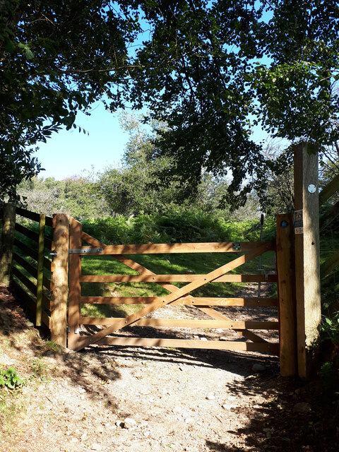
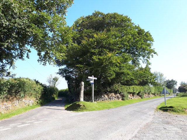
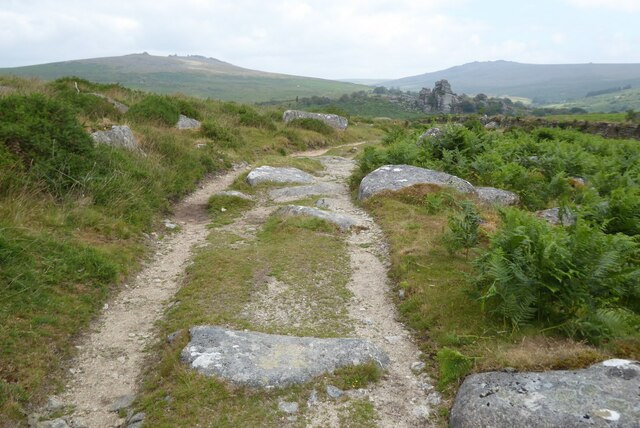
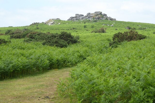
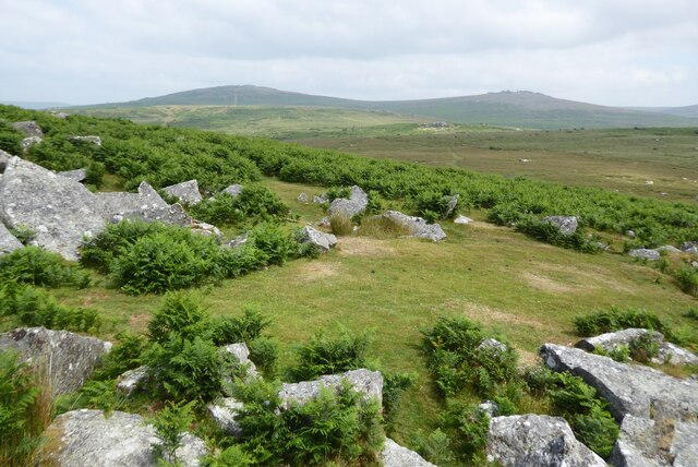
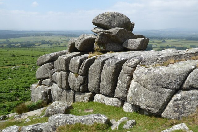
Eastern Wood Images

Images are sourced within 2km of 50.528865/-4.059713 or Grid Reference SX5471. Thanks to Geograph Open Source API. All images are credited.

Huckworthy Bridge Grade II* listed late 15th or early 16th century bridge over the River Walkham. <span class="nowrap"><a title="https://historicengland.org.uk/listing/the-list/list-entry/1171550" rel="nofollow ugc noopener" href="https://historicengland.org.uk/listing/the-list/list-entry/1171550">Link</a><img style="margin-left:2px;" alt="External link" title="External link - shift click to open in new window" src="https://s1.geograph.org.uk/img/external.png" width="10" height="10"/></span> The bridge is just wide enough to allow a car to pass.
Huckworthy Bridge
Grade II* listed late 15th or early 16th century bridge over the River Walkham. LinkExternal link The bridge is just wide enough to allow a car to pass.
Sheep in the road at the entrance to Sampford Barton
Entrance to Huckworthy Common
Road junction near Huckworthy Common, with stone cross and signpost The cross was apparently a waymarker to the church at Sampford Spiney for travellers from Plympton Priory to Tavistock Abbey. <span class="nowrap"><a title="http://www.dartmoor-crosses.org.uk/huckworthy.htm" rel="nofollow ugc noopener" href="http://www.dartmoor-crosses.org.uk/huckworthy.htm">Link</a><img style="margin-left:2px;" alt="External link" title="External link - shift click to open in new window" src="https://s1.geograph.org.uk/img/external.png" width="10" height="10"/></span>
Road junction near Huckworthy Common, with stone cross and signpost
The cross was apparently a waymarker to the church at Sampford Spiney for travellers from Plympton Priory to Tavistock Abbey. LinkExternal link
Old Boundary Marker near Pew Tor, Sampford Spiney parish Parish Boundary Marker just southeast of the top of Pew Tor. On the boundary of Whitchurch and Sampford Spiney parishes.

Milestone Society National ID: DV_SSSWC11pb
Old Boundary Marker near Pew Tor, Sampford Spiney parish
Parish Boundary Marker just southeast of the top of Pew Tor. On the boundary of Whitchurch and Sampford Spiney parishes. Milestone Society National ID: DV_SSSWC11pb
Old Boundary Marker near Pew Tor, Sampford Spiney parish Parish Boundary Marker just northeast of the top of Pew Tor. On the boundary of Whitchurch and Sampford Spiney parishes.

Milestone Society National ID: DV_SSSWC14pb
Old Boundary Marker near Pew Tor, Sampford Spiney parish
Parish Boundary Marker just northeast of the top of Pew Tor. On the boundary of Whitchurch and Sampford Spiney parishes. Milestone Society National ID: DV_SSSWC14pb
Pair of Circular Enclosed Prehistoric Settlements at Routrundle <span class="nowrap"><a title="https://www.megalithic.co.uk/article.php?sid=45577" rel="nofollow ugc noopener" href="https://www.megalithic.co.uk/article.php?sid=45577">Link</a><img style="margin-left:2px;" alt="External link" title="External link - shift click to open in new window" src="https://s1.geograph.org.uk/img/external.png" width="10" height="10"/></span>
Pair of Circular Enclosed Prehistoric Settlements at Routrundle
Track in the middle distance In the middle distance Vixen Tor can be seen.
Track in the middle distance
In the middle distance Vixen Tor can be seen.
Pew Tor View of Pew Tor views from the east.
Pew Tor
View of Pew Tor views from the east.
Dartmoor viewed from Pew Tor View to the north from Pew Tor with Cox Tor and Great Staple Tor on the horizon.
Dartmoor viewed from Pew Tor
View to the north from Pew Tor with Cox Tor and Great Staple Tor on the horizon.
Pew Tor Rocks on Pew Tor on Dartmoor.
Pew Tor
Rocks on Pew Tor on Dartmoor.
Pew Tor Rock outcrops on Pew Tor on Dartmoor.
Pew Tor
Rock outcrops on Pew Tor on Dartmoor.
Pew Tor Rock outcrops on Pew Tor on Dartmoor.
Pew Tor
Rock outcrops on Pew Tor on Dartmoor.
Rocks on Pew Tor Rocks on Pew Tor on Dartmoor.
Rocks on Pew Tor
Rocks on Pew Tor on Dartmoor.
Pew Tor Rock outcrops on Pew Tor on Dartmoor.
Pew Tor
Rock outcrops on Pew Tor on Dartmoor.
Moorland on the edge of Dartmoor Bracken on the edge of Dartmoor.
Moorland on the edge of Dartmoor
Bracken on the edge of Dartmoor.
Moorland road Moorland road near Moortown on the western edge of Dartmoor.
Moorland road
Moorland road near Moortown on the western edge of Dartmoor.
View over Dartmoor View over Dartmoor from the B3212 near Walkhampton.
View over Dartmoor
View over Dartmoor from the B3212 near Walkhampton.
Show me another place!

Eastern Wood is located at Grid Ref: SX5471 (Lat: 50.528865, Lng: -4.059713)

Administrative County: Devon

District: West Devon

Police Authority: Devon and Cornwall

What 3 Words

///best.aced.lookout. Near Horrabridge, Devon

Nearby Locations

Eastern Wood

Related Wikis

Woodtown

Woodtown is a hamlet on Dartmoor in Devon, England. It is roughly south of Sampford Spiney along the river Walkham.

Sampford Spiney

Sampford Spiney is a village and civil parish in the Walkham valley, about 4 miles east south east of Tavistock, in the West Devon district, in the county...

Ingra Tor Halt railway station

Ingra Tor Halt railway station was located on the 10.5 mile long single track Princetown Railway in Devon, England, running from Yelverton to Princetown...

Huckworthy

Huckworthy is a small hamlet on the edge of Dartmoor in Devon, England. With just 11 houses in a steep valley the hamlet epitomizes the rural wilds of...

Nearby Amenities

Located within 500m of 50.528865,-4.059713
Ward Bridge
Wpt Symbol: Dot
Lat/Long: 50.5296678/-4.0585579
Power: pole
Source: bing
Lat/Long: 50.5267906/-4.0568197
Power: pole
Source: bing
Voltage: 11000
Lat/Long: 50.5262595/-4.0558004
Power: pole
Source: bing
Lat/Long: 50.5265383/-4.0563342
Power: pole
Source: bing
Lat/Long: 50.526985/-4.0573427
Power: pole
Source: bing
Lat/Long: 50.5273661/-4.0583982
Power: pole
Source: bing
Lat/Long: 50.5289416/-4.0604393
Power: pole
Source: bing
Lat/Long: 50.5291479/-4.0608524
Power: pole
Source: bing
Lat/Long: 50.5293986/-4.0623544
Power: pole
Source: bing
Lat/Long: 50.5297541/-4.0633723
Power: pole
Source: bing
Lat/Long: 50.5300703/-4.0642749
Power: pole
Source: bing
Lat/Long: 50.5302911/-4.0654685
Power: pole
Transformer: distribution
Lat/Long: 50.5284906/-4.0557455
Power: pole
Lat/Long: 50.527725/-4.0556771
Power: pole
Lat/Long: 50.5273269/-4.0556811
Power: pole
Lat/Long: 50.5258963/-4.0564227
Power: pole
Lat/Long: 50.5253575/-4.0570074
Power: pole
Lat/Long: 50.5247948/-4.0576163
Bench
Lat/Long: 50.5327219/-4.0628304
The data included in this document is from www.openstreetmap.org. The data is made available under ODbL.

Have you been to Eastern Wood?

Leave your review of Eastern Wood below (or comments, questions and feedback).