Western Wood

Wood, Forest in Devon West Devon

England

Western Wood

Bus shelter, Walkhampton The bus stop serves only one circular service from Tavistock, which takes in many of the surrounding villages.
Bus shelter, Walkhampton Credit: Vieve Forward

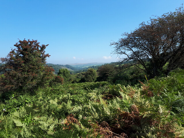
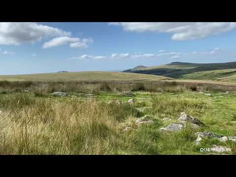
Western Wood is a picturesque forest located in Devon, a county in the southwest of England. Covering a vast area of land, this wood is known for its lush greenery, diverse wildlife, and tranquil atmosphere. It is a popular destination for nature enthusiasts, hikers, and those seeking a peaceful retreat away from the hustle and bustle of city life.

The wood is home to a variety of tree species, including oak, beech, and pine, which create a dense canopy overhead. The forest floor is adorned with a carpet of ferns, wildflowers, and mosses, adding to the enchanting ambiance of the wood. The tall trees provide shade and shelter, making it an excellent habitat for a wide range of woodland creatures, such as deer, squirrels, badgers, and various bird species.

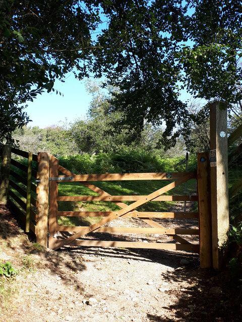
Visitors to Western Wood can explore the numerous well-marked trails that wind through the forest, offering breathtaking views of the surrounding countryside. These paths cater to all levels of fitness, ranging from leisurely strolls to more challenging hikes. Along the way, nature enthusiasts may encounter hidden streams, cascading waterfalls, and small ponds, adding to the charm and serenity of the wood.

The forest is managed by the local authorities to maintain its natural beauty and ecological balance. Conservation efforts are in place to protect the delicate ecosystem and preserve the wood's biodiversity. Signs are posted throughout the wood, providing information about the flora and fauna found within the forest, as well as guidelines for responsible visitation.

Overall, Western Wood is a captivating natural treasure in Devon, offering visitors an opportunity to immerse themselves in the beauty of nature and enjoy a peaceful escape from the outside world.

If you have any feedback on the listing, please let us know in the comments section below.
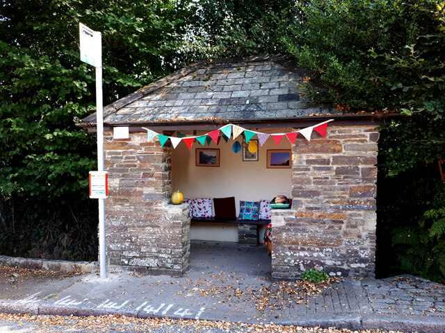
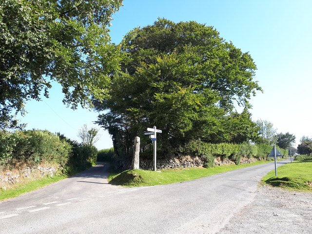
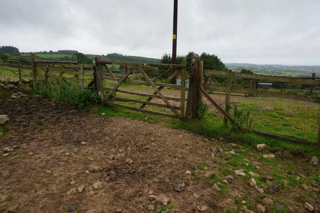
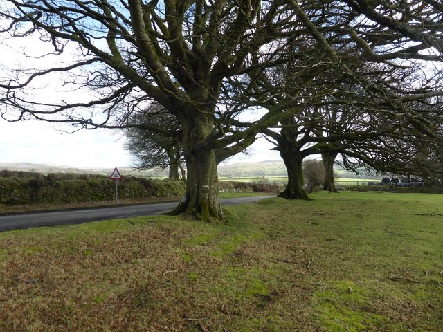
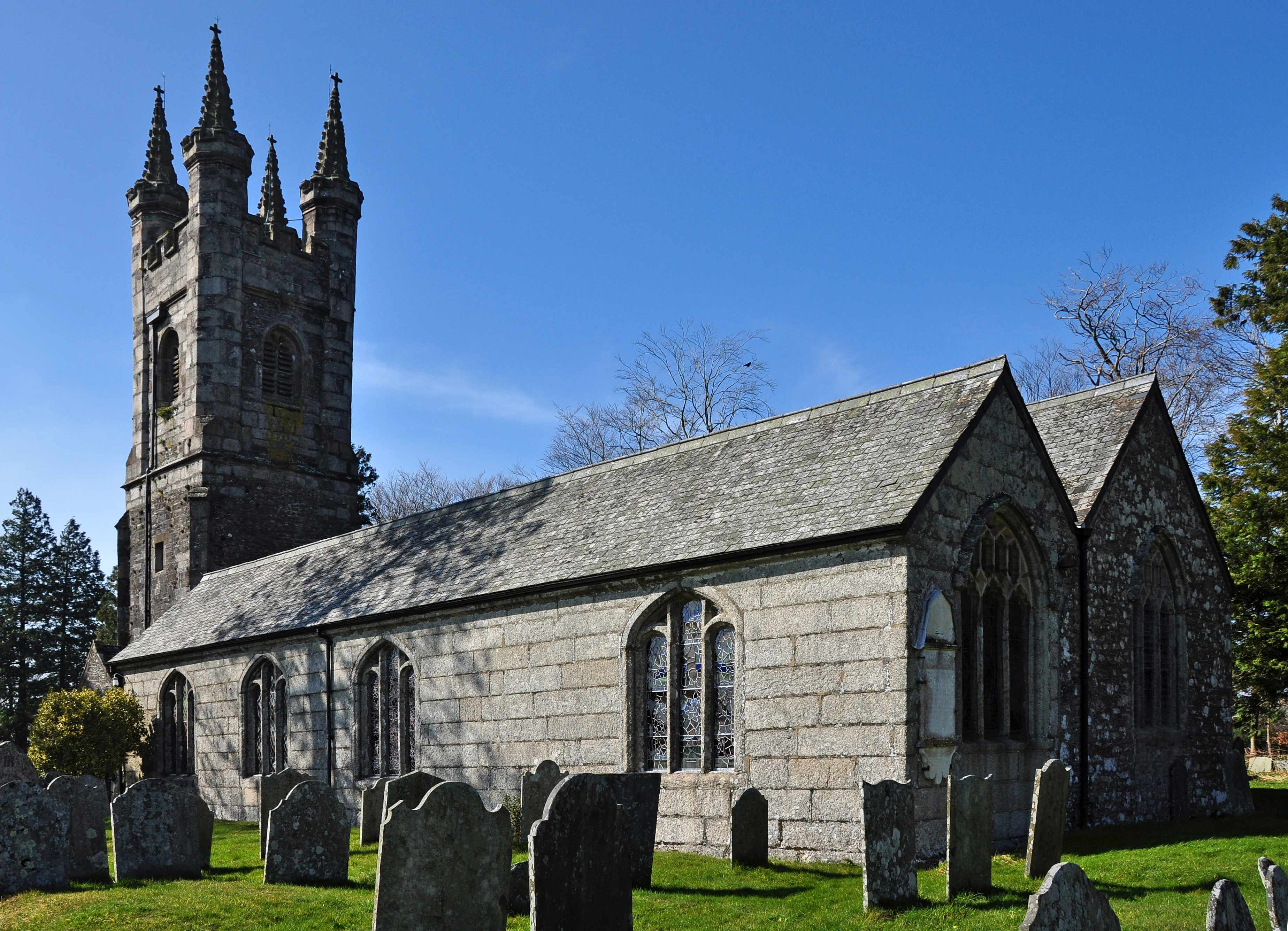
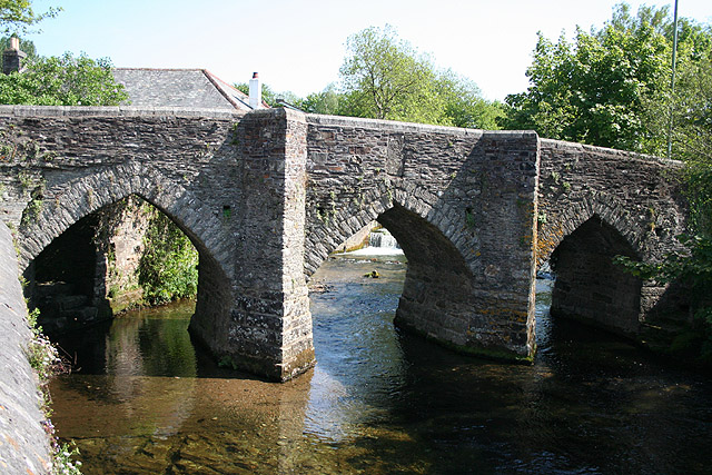
Western Wood Images

Images are sourced within 2km of 50.524573/-4.0638716 or Grid Reference SX5371. Thanks to Geograph Open Source API. All images are credited.

Bus shelter, Walkhampton The bus stop serves only one circular service from Tavistock, which takes in many of the surrounding villages.
Bus shelter, Walkhampton
The bus stop serves only one circular service from Tavistock, which takes in many of the surrounding villages.
Huckworthy Bridge Grade II* listed late 15th or early 16th century bridge over the River Walkham. <span class="nowrap"><a title="https://historicengland.org.uk/listing/the-list/list-entry/1171550" rel="nofollow ugc noopener" href="https://historicengland.org.uk/listing/the-list/list-entry/1171550">Link</a><img style="margin-left:2px;" alt="External link" title="External link - shift click to open in new window" src="https://s1.geograph.org.uk/img/external.png" width="10" height="10"/></span> The bridge is just wide enough to allow a car to pass.
Huckworthy Bridge
Grade II* listed late 15th or early 16th century bridge over the River Walkham. LinkExternal link The bridge is just wide enough to allow a car to pass.
Sheep in the road at the entrance to Sampford Barton
Knowle Down and the River Walkham valley
Entrance to Huckworthy Common
Road junction near Huckworthy Common, with stone cross and signpost The cross was apparently a waymarker to the church at Sampford Spiney for travellers from Plympton Priory to Tavistock Abbey. <span class="nowrap"><a title="http://www.dartmoor-crosses.org.uk/huckworthy.htm" rel="nofollow ugc noopener" href="http://www.dartmoor-crosses.org.uk/huckworthy.htm">Link</a><img style="margin-left:2px;" alt="External link" title="External link - shift click to open in new window" src="https://s1.geograph.org.uk/img/external.png" width="10" height="10"/></span>
Road junction near Huckworthy Common, with stone cross and signpost
The cross was apparently a waymarker to the church at Sampford Spiney for travellers from Plympton Priory to Tavistock Abbey. LinkExternal link
Pair of Circular Enclosed Prehistoric Settlements at Routrundle <span class="nowrap"><a title="https://www.megalithic.co.uk/article.php?sid=45577" rel="nofollow ugc noopener" href="https://www.megalithic.co.uk/article.php?sid=45577">Link</a><img style="margin-left:2px;" alt="External link" title="External link - shift click to open in new window" src="https://s1.geograph.org.uk/img/external.png" width="10" height="10"/></span>
Pair of Circular Enclosed Prehistoric Settlements at Routrundle
Moorland on the edge of Dartmoor Bracken on the edge of Dartmoor.
Moorland on the edge of Dartmoor
Bracken on the edge of Dartmoor.
View over Dartmoor View over Dartmoor from the B3212 near Walkhampton.
View over Dartmoor
View over Dartmoor from the B3212 near Walkhampton.
B3212 Yelverton to Princetown road Seen here below Peek Hill, as it starts to descend from the higher moorland towards Yelverton.
B3212 Yelverton to Princetown road
Seen here below Peek Hill, as it starts to descend from the higher moorland towards Yelverton.
Path heading towards the car park on the B3212 Climbing up the lower slopes of Sharpitor from Horseyeatt.
Path heading towards the car park on the B3212
Climbing up the lower slopes of Sharpitor from Horseyeatt.
Crossways At this point the path heading close by Horseyeatt crosses the dismantled trackbed of the Yelverton to Princetown line. The trackbed runs left to right.
Crossways
At this point the path heading close by Horseyeatt crosses the dismantled trackbed of the Yelverton to Princetown line. The trackbed runs left to right.
Path heading down towards Horseyeatt Heading down the lower slopes of Sharpitor.
Path heading down towards Horseyeatt
Heading down the lower slopes of Sharpitor.
Minor road From Walkhampton towards the dead end at Daveytown.
Minor road
From Walkhampton towards the dead end at Daveytown.
Trackbed of the dismantled Yelverton to Princetown railway Seen here above the Walkham Valley heading towards Princetown.
Trackbed of the dismantled Yelverton to Princetown railway
Seen here above the Walkham Valley heading towards Princetown.
Huckworthy Bridge
Huckworthy Bridge
Buildings on road junction near Huckworthy Bridge
Beech trees at southern end of Plaster Down
Show me another place!

Western Wood is located at Grid Ref: SX5371 (Lat: 50.524573, Lng: -4.0638716)

Administrative County: Devon

District: West Devon

Police Authority: Devon and Cornwall

What 3 Words

///trade.bared.noun. Near Horrabridge, Devon

Related Wikis

Woodtown

Woodtown is a hamlet on Dartmoor in Devon, England. It is roughly south of Sampford Spiney along the river Walkham.

Huckworthy

Huckworthy is a small hamlet on the edge of Dartmoor in Devon, England. With just 11 houses in a steep valley the hamlet epitomizes the rural wilds of...

Sampford Spiney

Sampford Spiney is a village and civil parish in the Walkham valley, about 4 miles east south east of Tavistock, in the West Devon district, in the county...

Walkhampton

Walkhampton is a village and civil parish on the western side of Dartmoor in the county of Devon, England. The village lies on the Black Brook, a tributary...

Ingra Tor Halt railway station

Ingra Tor Halt railway station was located on the 10.5 mile long single track Princetown Railway in Devon, England, running from Yelverton to Princetown...

Dousland railway station

Dousland railway station, originally opened at Dousland Barn in 1883 was located on the 10.5 mile long single track branch railway line in Devon, England...

River Walkham

The Walkham is a river whose source is on Dartmoor, Devon, England. It rises in the wide gap between Roos Tor and Great Mis Tor and flows almost due south...

Vixen Tor

Vixen Tor is a tor on Dartmoor, England. The tor is on private land and since 2003 access by the public has been banned, causing protests and mass trespassing...

Related Videos

West Dartmoor Trail Running From Langstone Manor Holiday Park Tavistock || Tors & Quarries

An epic early morning run on Dartmoor. I was away in the motorhome with my family and staying at the stunning Langstone Manor ...

Devon in a Pod | Harry Meston

31 August 2021 too 3rd September 2021 Langstone Manor campsite Devon.

Dartmoor day 2

A walk in the rain! Through the moor and into Tavistock.

Nearby Amenities

Located within 500m of 50.524573,-4.0638716
Power: pole
Source: bing
Lat/Long: 50.5273661/-4.0583982
Power: pole
Lat/Long: 50.5253575/-4.0570074
Power: pole
Lat/Long: 50.5247948/-4.0576163
Power: pole
Lat/Long: 50.5238228/-4.0580884
Power: pole
Lat/Long: 50.5229906/-4.0584612
Power: pole
Transformer: distribution
Lat/Long: 50.5220058/-4.0589453
The data included in this document is from www.openstreetmap.org. The data is made available under ODbL.

Have you been to Western Wood?

Leave your review of Western Wood below (or comments, questions and feedback).