Chicksgrove
Settlement in Wiltshire
England
Chicksgrove
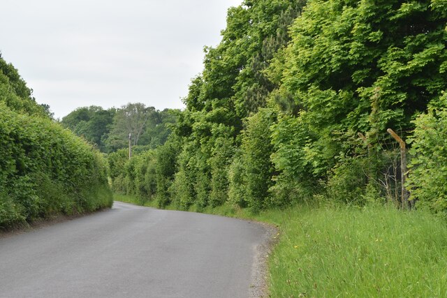
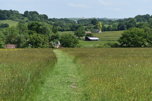
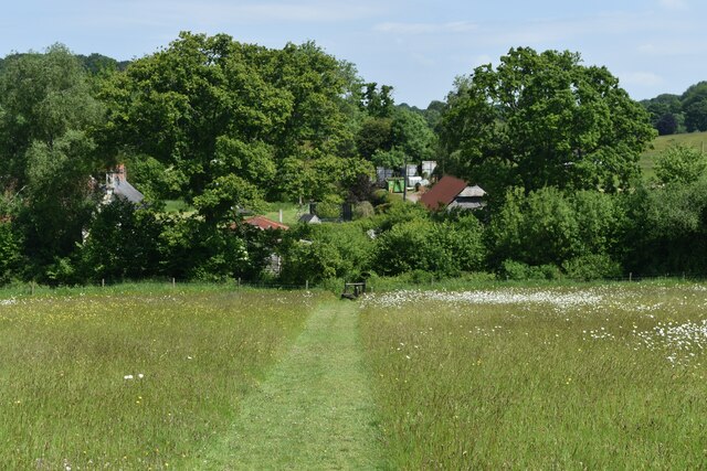
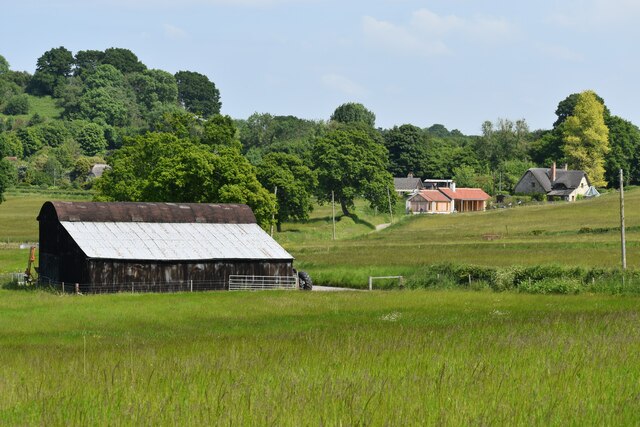
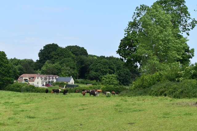
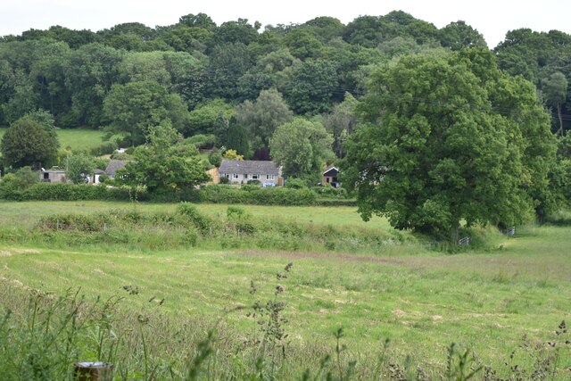
Chicksgrove is a small village located in the county of Wiltshire, England. Situated in the southern part of the county, it lies approximately 4 miles northwest of the town of Tisbury and 12 miles west of the city of Salisbury. The village is nestled amidst the picturesque countryside of the Cranborne Chase Area of Outstanding Natural Beauty.
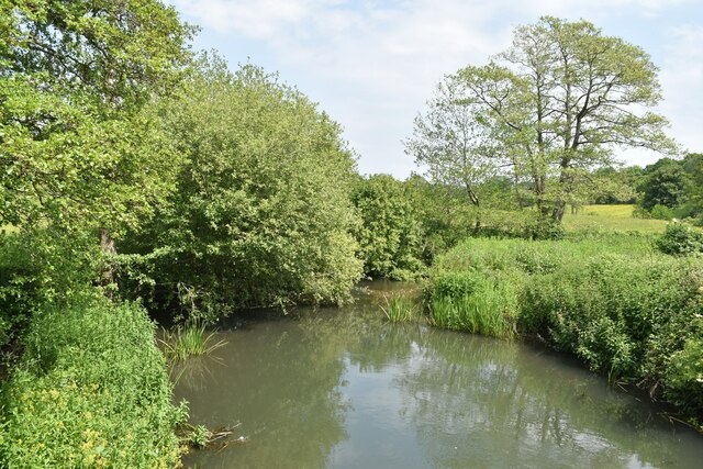
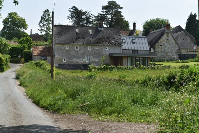
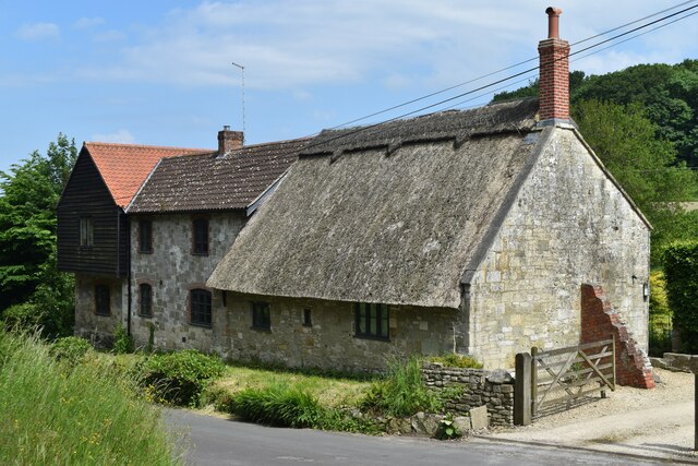
With a population of around 100 residents, Chicksgrove exudes a tranquil and rural atmosphere. The village is known for its charming thatched cottages, many of which date back to the 17th century, adding to its idyllic character. The nearby River Nadder flows through the village, providing a scenic backdrop and offering opportunities for leisurely walks along its banks.
Chicksgrove is home to the St. John the Baptist Church, a Grade II listed building that serves as a place of worship for the local community. The church, with its distinctive architecture, is a notable landmark in the village.
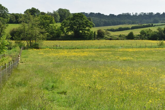
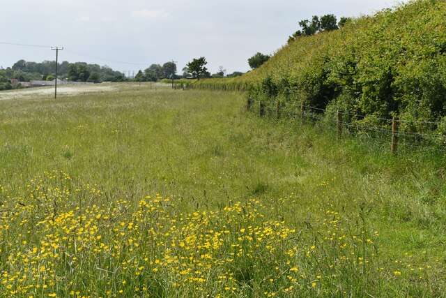
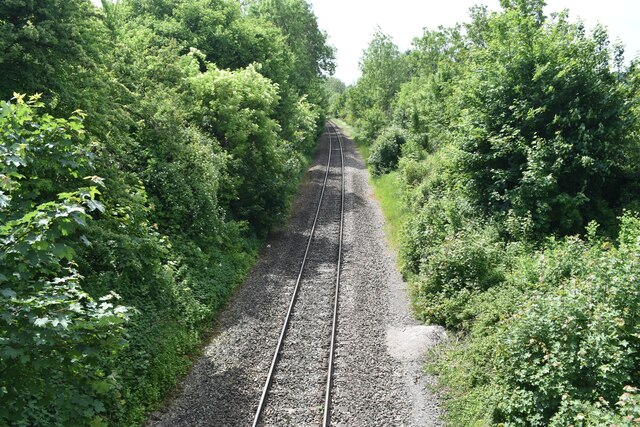
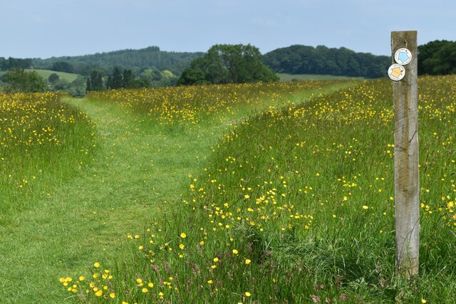
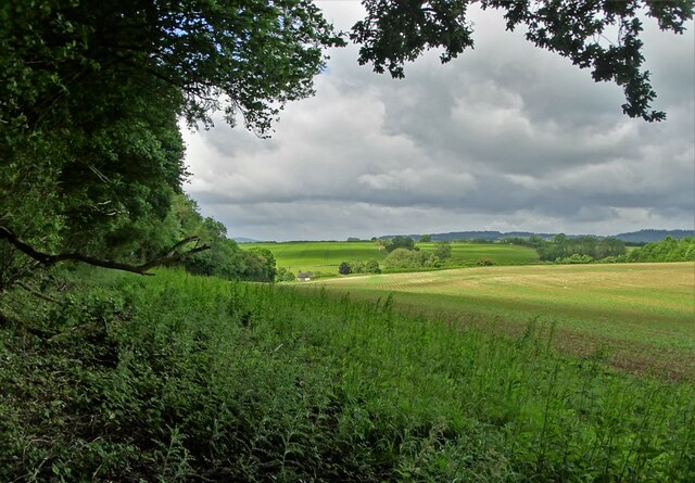
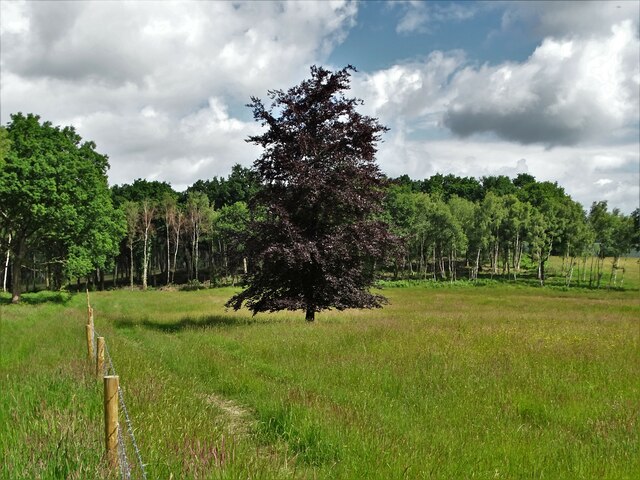
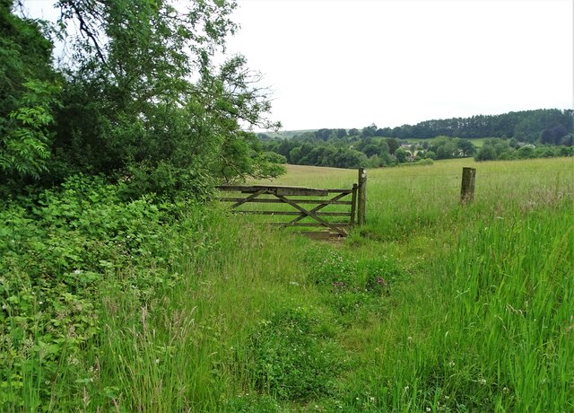
The surrounding area is rich in natural beauty, making Chicksgrove a desirable location for nature enthusiasts. There are several walking paths and bridleways that allow visitors to explore the stunning countryside, with rolling hills and verdant fields stretching as far as the eye can see.
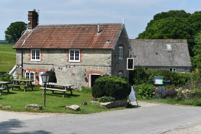
Although Chicksgrove itself does not have any amenities such as shops or pubs, the nearby town of Tisbury offers a range of facilities including a post office, convenience stores, and a selection of pubs and restaurants.
Overall, Chicksgrove is a charming and picturesque village, perfect for those seeking a peaceful retreat amidst the scenic beauty of the English countryside.
If you have any feedback on the listing, please let us know in the comments section below.
Chicksgrove Images
Images are sourced within 2km of 51.062657/-2.038413 or Grid Reference ST9729. Thanks to Geograph Open Source API. All images are credited.
Chicksgrove is located at Grid Ref: ST9729 (Lat: 51.062657, Lng: -2.038413)
Unitary Authority: Wiltshire
Police Authority: Wiltshire
What 3 Words
///humble.onion.innovate. Near Tisbury, Wiltshire
Nearby Locations
Related Wikis

Lower Chicksgrove
Lower Chicksgrove is a hamlet on the north bank of the River Nadder in the south of the county of Wiltshire, England, within the Vale of Wardour. It is...

Chicksgrove Quarry
Chicksgrove Quarry (grid reference ST962296) is a 14 acres (5.7 ha) geological Site of Special Scientific Interest south of Upper Chicksgrove in Wiltshire...

Sutton Mandeville
Sutton Mandeville is a small village and civil parish in Wiltshire, England, in the Nadder valley and towards the east end of the Vale of Wardour. The...

Castle Ditches
Castle Ditches is the site of an Iron Age trivallate hillfort in the south-east of Tisbury parish in Wiltshire, England. It is probable that its ancient...

Chilmark Quarries
Chilmark Quarries (grid reference ST974312) is a 9.65 hectare biological and geological Site of Special Scientific Interest (SSSI), in the ravine south...

Lady Down Quarry
Lady Down Quarry (grid reference ST961307) is a 2,300 square metre geological Site of Special Scientific Interest in the northeast of Tisbury parish in...

Place Farm, Tisbury
Place Farm is a complex of medieval buildings in the village of Tisbury, Wiltshire, England. They originally formed a grange of Shaftesbury Abbey. The...

Swallowcliffe
Swallowcliffe is a small village and civil parish in Wiltshire, England, about 2 miles (3.2 km) southeast of Tisbury and 11 miles (18 km) west of Salisbury...
Nearby Amenities
Located within 500m of 51.062657,-2.038413Have you been to Chicksgrove?
Leave your review of Chicksgrove below (or comments, questions and feedback).