Thorny Bottom
Valley in Wiltshire
England
Thorny Bottom
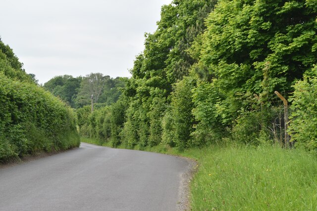
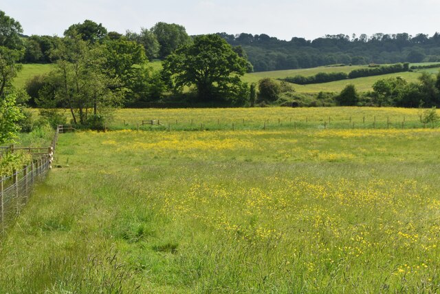
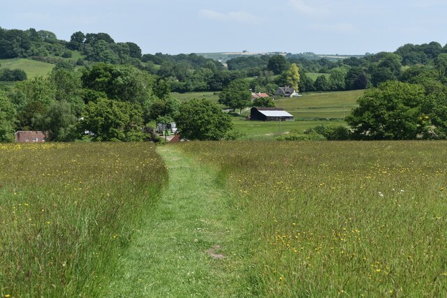
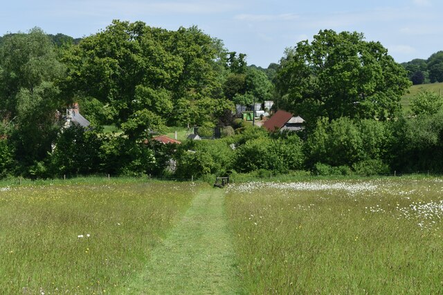
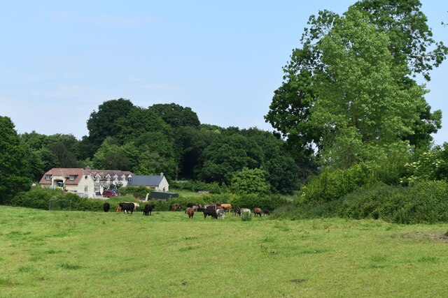
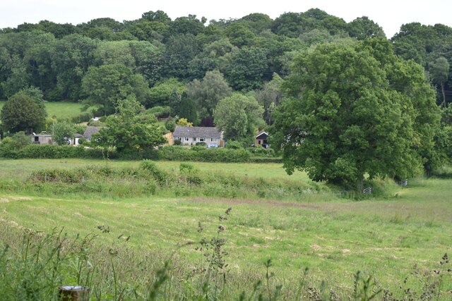
Thorny Bottom, located in Wiltshire, England, is a picturesque valley nestled amidst the rolling hills of the county. This idyllic rural area is renowned for its stunning natural beauty, making it a popular destination for nature enthusiasts and outdoor lovers.
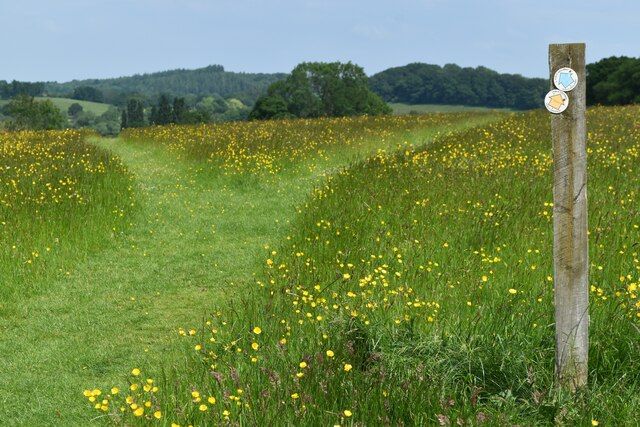
The valley is characterized by its abundance of thorny bushes and shrubs, which gave rise to its name. These thorny plants, such as hawthorn and blackthorn, create an enchanting landscape, especially during spring when they bloom with beautiful white flowers.
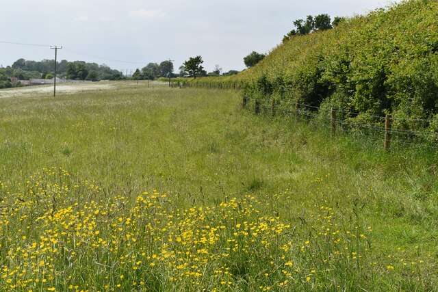
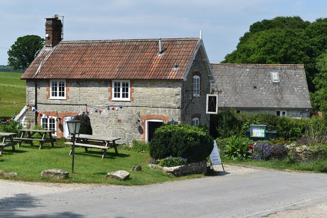
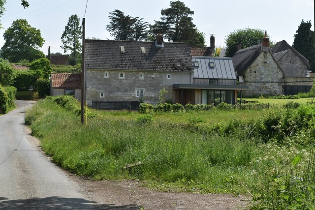
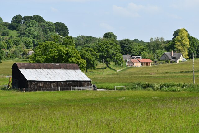
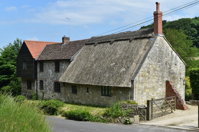
The area is predominantly agricultural, with vast expanses of farmland and meadows dotting the landscape. The fertile soil and favorable climate make Thorny Bottom ideal for farming, and it is known for its thriving dairy industry. The valley is dotted with traditional farmhouses and barns, adding to its rustic charm.
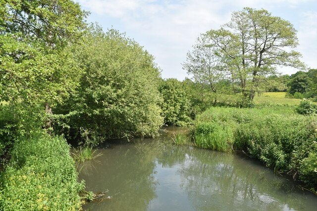
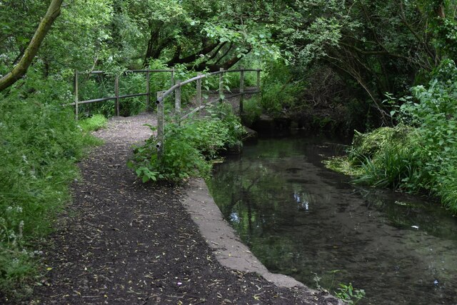
Apart from its agricultural significance, Thorny Bottom is also home to a diverse range of wildlife. The meandering streams and hedgerows provide a habitat for various species of birds, butterflies, and small mammals. It is not uncommon to spot deer or foxes roaming the fields during early morning or dusk.
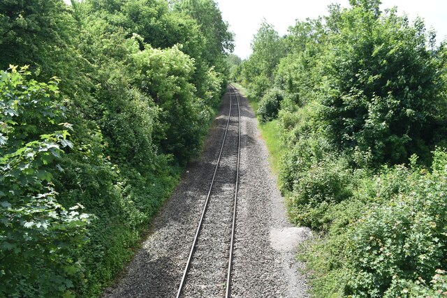
Visitors to Thorny Bottom can enjoy a range of outdoor activities, including walking along the numerous footpaths that crisscross the valley, cycling through the scenic countryside, or simply relaxing and enjoying the tranquil surroundings. The valley offers a peaceful retreat from the hustle and bustle of city life, providing an opportunity to connect with nature and unwind in a truly picturesque setting.
If you have any feedback on the listing, please let us know in the comments section below.
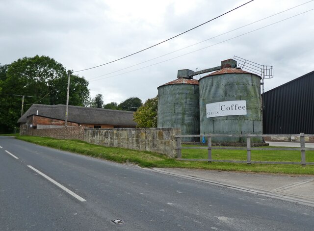
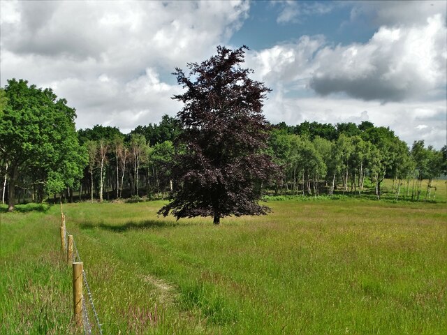
Thorny Bottom Images
Images are sourced within 2km of 51.061791/-2.0330124 or Grid Reference ST9729. Thanks to Geograph Open Source API. All images are credited.
Thorny Bottom is located at Grid Ref: ST9729 (Lat: 51.061791, Lng: -2.0330124)
Unitary Authority: Wiltshire
Police Authority: Wiltshire
What 3 Words
///expressed.education.acrobatic. Near Tisbury, Wiltshire
Nearby Locations
Related Wikis

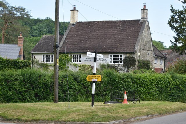
Sutton Mandeville
Sutton Mandeville is a small village and civil parish in Wiltshire, England, in the Nadder valley and towards the east end of the Vale of Wardour. The...

Lower Chicksgrove
Lower Chicksgrove is a hamlet on the north bank of the River Nadder in the south of the county of Wiltshire, England, within the Vale of Wardour. It is...

Chicksgrove Quarry
Chicksgrove Quarry (grid reference ST962296) is a 14 acres (5.7 ha) geological Site of Special Scientific Interest south of Upper Chicksgrove in Wiltshire...

Castle Ditches
Castle Ditches is the site of an Iron Age trivallate hillfort in the south-east of Tisbury parish in Wiltshire, England. It is probable that its ancient...

Chilmark Quarries
Chilmark Quarries (grid reference ST974312) is a 9.65 hectare biological and geological Site of Special Scientific Interest (SSSI), in the ravine south...

Lady Down Quarry
Lady Down Quarry (grid reference ST961307) is a 2,300 square metre geological Site of Special Scientific Interest in the northeast of Tisbury parish in...

Swallowcliffe
Swallowcliffe is a small village and civil parish in Wiltshire, England, about 2 miles (3.2 km) southeast of Tisbury and 11 miles (18 km) west of Salisbury...

Teffont Evias
Teffont Evias is a small village and former civil parish, now in the parish of Teffont, on the Nadder valley in the south of Wiltshire, England. Edric...
Nearby Amenities
Located within 500m of 51.061791,-2.0330124Have you been to Thorny Bottom?
Leave your review of Thorny Bottom below (or comments, questions and feedback).