West Bowerland Plantation

Wood, Forest in Devon West Devon

England

West Bowerland Plantation

Old Turnpike Terminus Marker on the A3079 in Okehampton Hamlets parish Turnpike Terminus Marker at Thorndon Cross on the north side of the A3079 Holsworthy Road by the gate of Maddaford Retreat. On the boundary of Okehampton Hamlets and Sourton parishes, until 1894 Okehampton and Sourton. It was snapped off at ground level by a reversing lorry in the 1980s and was moved to the gardens of Railway Cottages but is now reset on the path.

Milestone Society National ID: DV_OKHW04t
Old Turnpike Terminus Marker on the A3079 in Okehampton Hamlets parish Credit: A Rosevear

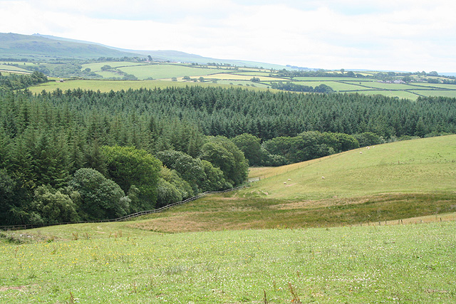
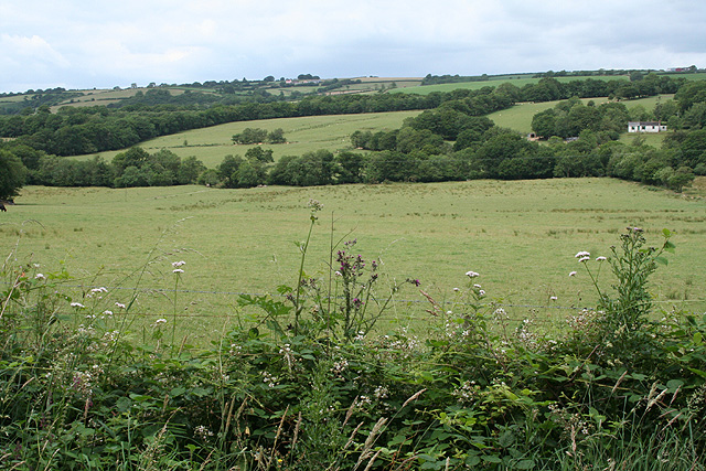
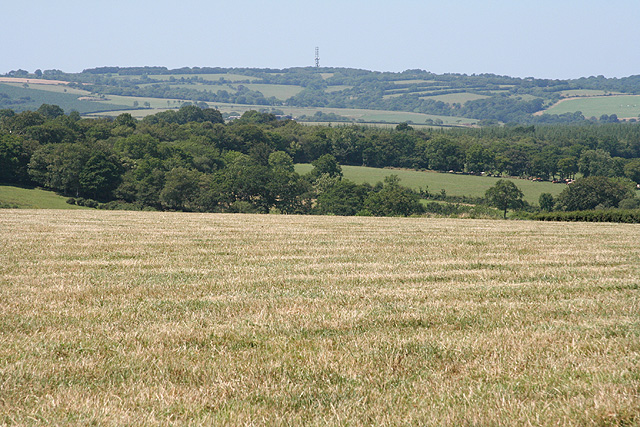
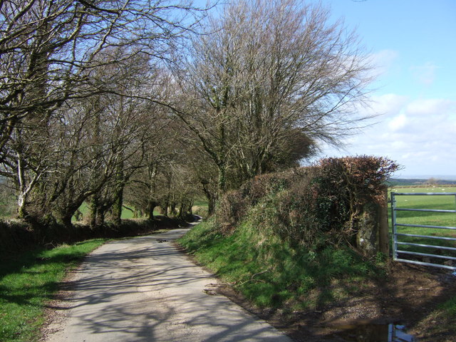
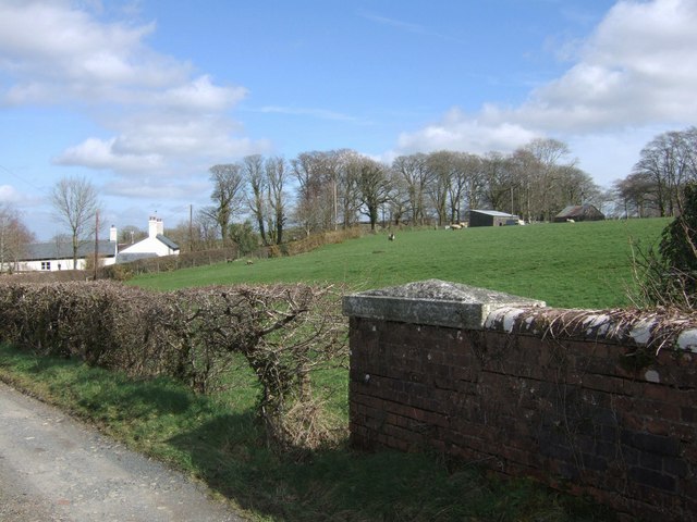
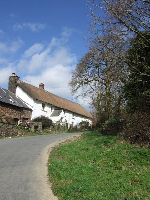
West Bowerland Plantation is a picturesque woodland located in the county of Devon, England. Situated in the heart of the West Country, this enchanting forest covers an area of approximately 500 acres, offering visitors a tranquil and immersive natural experience.

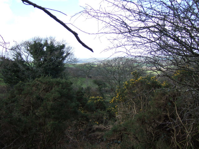
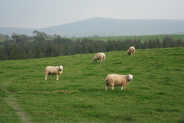
The plantation is characterized by its diverse range of tree species, including oak, beech, and pine, which create a rich and vibrant ecosystem. These trees provide a habitat for a variety of wildlife, such as deer, squirrels, and a wide array of bird species, making it a haven for nature enthusiasts and birdwatchers alike.

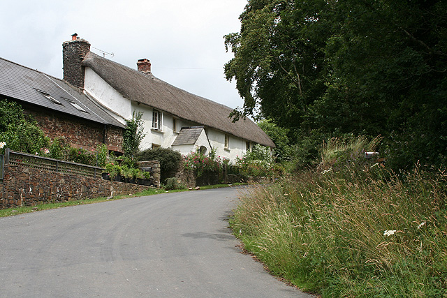
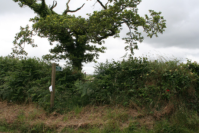
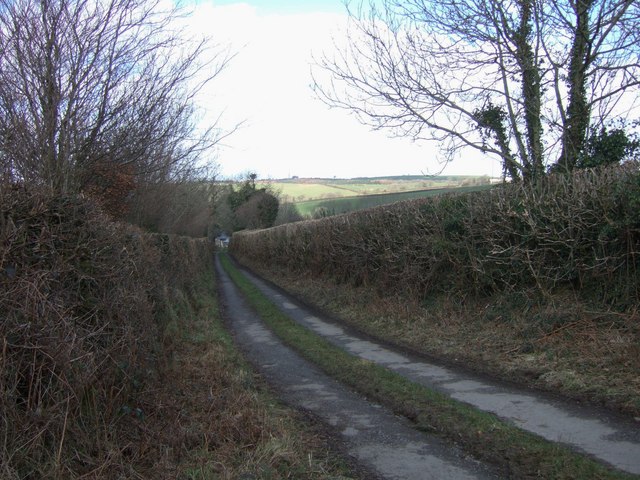
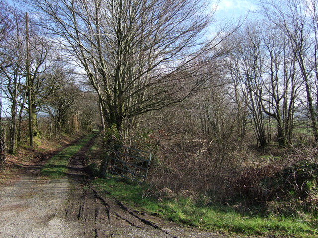
The woodland boasts a network of well-maintained trails and footpaths, allowing visitors to explore and appreciate its beauty at their own pace. These paths wind through the forest, leading to secluded clearings, babbling brooks, and breathtaking viewpoints that offer stunning vistas of the surrounding countryside.

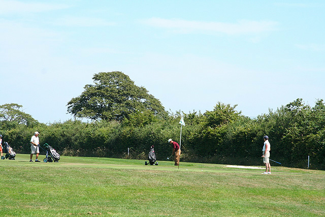
West Bowerland Plantation is not only a place of natural beauty but also serves as a recreational area for outdoor activities. It offers opportunities for hiking, picnicking, and camping, making it an ideal destination for families and outdoor enthusiasts seeking a peaceful retreat from the bustling city life.

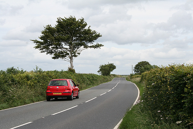
The plantation is easily accessible, with a car park and well-signposted entrances, ensuring a hassle-free visit for visitors of all ages. Additionally, the site is managed and maintained by local authorities, ensuring its preservation and sustainability for future generations to enjoy.

Overall, West Bowerland Plantation is a hidden gem in Devon, offering a serene and captivating woodland experience for nature lovers, hikers, and those seeking solace in the beauty of the natural world.

If you have any feedback on the listing, please let us know in the comments section below.

West Bowerland Plantation Images

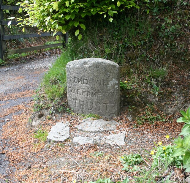
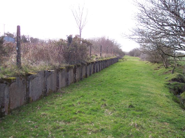
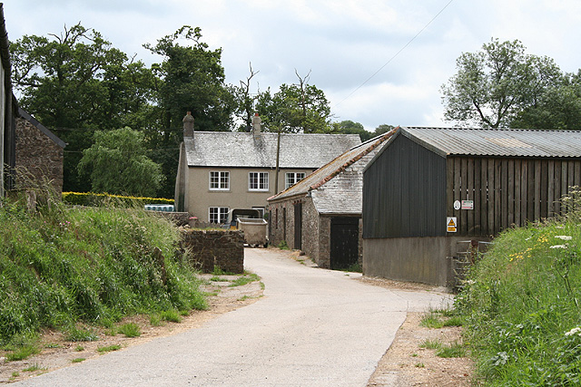
Images are sourced within 2km of 50.721463/-4.0798656 or Grid Reference SX5393. Thanks to Geograph Open Source API. All images are credited.

Old Turnpike Terminus Marker on the A3079 in Okehampton Hamlets parish Turnpike Terminus Marker at Thorndon Cross on the north side of the A3079 Holsworthy Road by the gate of Maddaford Retreat. On the boundary of Okehampton Hamlets and Sourton parishes, until 1894 Okehampton and Sourton. It was snapped off at ground level by a reversing lorry in the 1980s and was moved to the gardens of Railway Cottages but is now reset on the path.

Milestone Society National ID: DV_OKHW04t
Old Turnpike Terminus Marker on the A3079 in Okehampton Hamlets parish
Turnpike Terminus Marker at Thorndon Cross on the north side of the A3079 Holsworthy Road by the gate of Maddaford Retreat. On the boundary of Okehampton Hamlets and Sourton parishes, until 1894 Okehampton and Sourton. It was snapped off at ground level by a reversing lorry in the 1980s and was moved to the gardens of Railway Cottages but is now reset on the path. Milestone Society National ID: DV_OKHW04t
Maddaford Moor Halt, North Devon The London & South Western Railway opened their Exeter to Bude branch in 1879 and 47 years later the Southern Railway provided this remote Maddaford Moor Halt. It closed in 1966 and is located where the line passed under the A3079, at a hamlet now known as Thorndon Cross, four miles west of Okehampton.
Maddaford Moor Halt, North Devon
The London & South Western Railway opened their Exeter to Bude branch in 1879 and 47 years later the Southern Railway provided this remote Maddaford Moor Halt. It closed in 1966 and is located where the line passed under the A3079, at a hamlet now known as Thorndon Cross, four miles west of Okehampton.
Okehampton Hamlets: Yelland Farm Looking south from the entrance by the A3079 road
Okehampton Hamlets: Yelland Farm
Looking south from the entrance by the A3079 road
Sourton: near Thorndon Cross Looking south-south-east with the Dartmoor hills on the skyline
Sourton: near Thorndon Cross
Looking south-south-east with the Dartmoor hills on the skyline
Sourton: near Little Thorndon Farm Looking north west
Sourton: near Little Thorndon Farm
Looking north west
Sourton: Thorndon A farm with outbuildings converted to housing. Looking north-north-east
Sourton: Thorndon
A farm with outbuildings converted to housing. Looking north-north-east
Sourton: start of footpath on Cowsen Down Looking south east
Sourton: start of footpath on Cowsen Down
Looking south east
Beaworthy: the A3079 road East of Venndown Gate, looking east-north-east in the Okehampton direction
Beaworthy: the A3079 road
East of Venndown Gate, looking east-north-east in the Okehampton direction
Okehampton Hamlets: towards Venn Down Looking west
Okehampton Hamlets: towards Venn Down
Looking west
Okehampton Hamlets: golf course On the 13th hole of one of four 18-hole golf courses at the Ashbury Golf Hotel; looking east-north-east. See also <span class="nowrap"><a title="http://www.manorashbury.co.uk/ashbury_index.asp" rel="nofollow ugc noopener" href="http://www.manorashbury.co.uk/ashbury_index.asp">Link</a><img style="margin-left:2px;" alt="External link" title="External link - shift click to open in new window" src="https://s1.geograph.org.uk/img/external.png" width="10" height="10"/></span>
Okehampton Hamlets: golf course
On the 13th hole of one of four 18-hole golf courses at the Ashbury Golf Hotel; looking east-north-east. See also LinkExternal link
Farm lane to Linnacombe Linnacombe is just visible as this farm track enters its last stretch, descending from Sourton Down. Beyond is farmland near West Bowerland.
Farm lane to Linnacombe
Linnacombe is just visible as this farm track enters its last stretch, descending from Sourton Down. Beyond is farmland near West Bowerland.
Near Linnacombe A glimpse of fields and trees between Linnacombe and Hursdon through a gorse hedge beside <a href="https://www.geograph.org.uk/photo/360292">SX5392 : Farm lane to Linnacombe</a>.
Near Linnacombe
A glimpse of fields and trees between Linnacombe and Hursdon through a gorse hedge beside SX5392 : Farm lane to Linnacombe.
Lane to Bowerland This no through lane runs from the A386 at Bowerland Cross to the farms at East and West Bowerland. For much of its route it is tree-lined, as here.
Lane to Bowerland
This no through lane runs from the A386 at Bowerland Cross to the farms at East and West Bowerland. For much of its route it is tree-lined, as here.
East Bowerland Looking from the bridge over the dismantled Okehampton - Halwill Junction railway, with the old farmhouse (offering bed and breakfast and self-catering accommodation) on the left. The lane to the A386 climbs past trees and a couple of farm buildings.
East Bowerland
Looking from the bridge over the dismantled Okehampton - Halwill Junction railway, with the old farmhouse (offering bed and breakfast and self-catering accommodation) on the left. The lane to the A386 climbs past trees and a couple of farm buildings.
Near Thorndon Cross A view across the valley of a tributary of the River Thrushel, from the lane between Thorndon and Thorndon Cross. The maps are out of date - the two nearest field boundaries on the left are not shown, but appear clearly on live.com. The ridge beyond is Thorndon Down.
Near Thorndon Cross
A view across the valley of a tributary of the River Thrushel, from the lane between Thorndon and Thorndon Cross. The maps are out of date - the two nearest field boundaries on the left are not shown, but appear clearly on live.com. The ridge beyond is Thorndon Down.
Beaworthy Bridleway 53 and dismantled railway The bridleway on the left runs beside the line of the dismantled Halwill Junction - Okehampton railway, to the right. Parallel to both runs the A3079, alongside the trees on the right. The bridleway is accessed at two points from the main road: here at the farm drive to Pinnacle Farm; and by a bridge under the railway at the far end of this stretch of bridleway.
Beaworthy Bridleway 53 and dismantled railway
The bridleway on the left runs beside the line of the dismantled Halwill Junction - Okehampton railway, to the right. Parallel to both runs the A3079, alongside the trees on the right. The bridleway is accessed at two points from the main road: here at the farm drive to Pinnacle Farm; and by a bridge under the railway at the far end of this stretch of bridleway.
Thorndon Farm An almost identical scene to <a href="https://www.geograph.org.uk/photo/198378">SX5192 : Sourton: Thorndon</a>, but at a different time of year. Part of hamlet close to the River Thrushel.
Thorndon Farm
An almost identical scene to SX5192 : Sourton: Thorndon, but at a different time of year. Part of hamlet close to the River Thrushel.
Sourton: near Thorndon Cross Poll Dorset sheep belonging to Oatnell Farm – part of the Rossiz flock –  seen with Dartmoor as a backdrop. Looking south east
Sourton: near Thorndon Cross
Poll Dorset sheep belonging to Oatnell Farm – part of the Rossiz flock – seen with Dartmoor as a backdrop. Looking south east
Show me another place!

West Bowerland Plantation is located at Grid Ref: SX5393 (Lat: 50.721463, Lng: -4.0798656)

Administrative County: Devon

District: West Devon

Police Authority: Devon and Cornwall

What 3 Words

///spades.starlight.group. Near Okehampton, Devon

Nearby Locations

West Bowerland Plantation

Related Wikis

Maddaford Moor Halt railway station

Maddaford Moor Halt was a railway station on the Bude Branch that closed in 1966. The halt was located where the line passed under the A3079, at a hamlet...

Sourton

Sourton is a small village and civil parish in West Devon, England. It lies about 4 miles (6.4 km) south-west of Okehampton. It is at the north-western...

Boasley Cross

Boasley Cross is a village in Devon, England. == External links == Media related to Boasley Cross at Wikimedia Commons

Meldon, Devon

Meldon is a hamlet in West Devon, on the edge of Dartmoor in Devon, England. It is 4 km south-west of Okehampton. Its main features are the Meldon Quarry...

Have you been to West Bowerland Plantation?

Leave your review of West Bowerland Plantation below (or comments, questions and feedback).