Chickney
Settlement in Essex Uttlesford
England
Chickney

Chickney is a small village located in the county of Essex, in the southeastern part of England. Situated approximately 27 miles northeast of London, Chickney falls within the administrative district of Uttlesford. With a population of just over 100 residents, it is a tranquil and close-knit community surrounded by the picturesque Essex countryside.
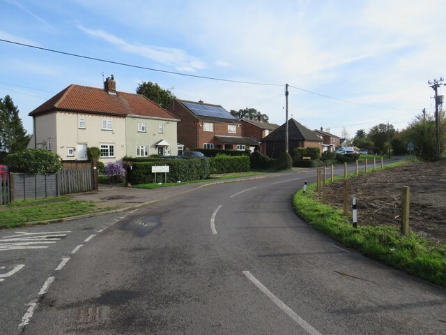
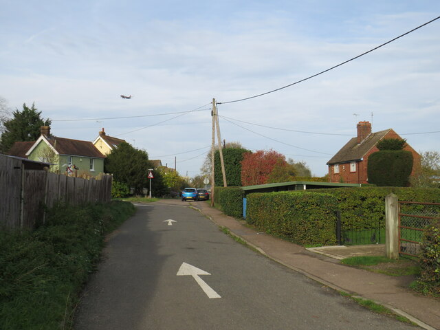
The village of Chickney is known for its quaint and charming atmosphere, with its traditional thatched-roof cottages and well-preserved historic buildings. The centerpiece of the village is the St. Mary the Virgin Church, a beautiful medieval structure dating back to the 12th century. This iconic church is not only a place of worship, but also a popular attraction among visitors for its architectural significance.
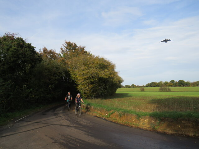
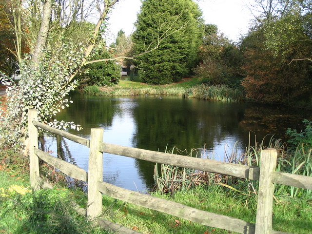
The surrounding countryside offers numerous opportunities for outdoor activities, such as hiking, cycling, and horseback riding. Chickney is blessed with scenic landscapes, including rolling hills, meandering rivers, and lush green fields. There are also several nature reserves nearby, providing habitats for various wildlife species.
Despite its small size, Chickney boasts a strong sense of community. The village hosts regular events and gatherings, bringing residents together and fostering a friendly and welcoming atmosphere. The nearby market town of Saffron Walden offers additional amenities, including shops, schools, and healthcare facilities, just a short drive away.
In summary, Chickney is a charming and peaceful village in Essex, offering a tranquil lifestyle amidst beautiful countryside surroundings. With its rich history, natural beauty, and strong community spirit, Chickney is a hidden gem for those seeking a quieter and more idyllic place to call home.
If you have any feedback on the listing, please let us know in the comments section below.
Chickney Images
Images are sourced within 2km of 51.924705/0.286749 or Grid Reference TL5727. Thanks to Geograph Open Source API. All images are credited.


Chickney is located at Grid Ref: TL5727 (Lat: 51.924705, Lng: 0.286749)
Administrative County: Essex
District: Uttlesford
Police Authority: Essex
What 3 Words
///code.stub.generated. Near Elsenham, Essex
Nearby Locations
Related Wikis

Chickney
Chickney is a village and civil parish near Broxted and southwest of Thaxted, in Uttlesford, Essex, England. The parish borders Broxted, Debden, Henham...
St Mary's Church, Chickney
St Mary's Church is a redundant Anglican church in the parish of Chickney, Essex, England. It is recorded in the National Heritage List for England as...

Broxted
Broxted is a village and civil parish in the Uttlesford district, in the county of Essex, England. It is situated 11 km (6.8 mi) north-east from Bishop...

Pledgdon Green
Pledgdon Green, also known as Pledgdon or Prison Green, is a hamlet in the parish of Henham, in the Uttlesford district of Essex, England. The hamlet is...
Cherry Green, Essex
Cherry Green or Chaureth Green is a hamlet in the civil parish of Broxted and the Uttlesford district of Essex, England. The hamlet is 1.5 miles (2.4 km...
Henham Halt railway station
Henham Halt railway station was a station serving the village of Henham, Essex, England. It was located 1 mile 57 chains (2.76 km) from Elsenham station...

Horham Hall
Horham Hall may refer to the timber-framed late mediaeval hall in Thaxted, England, or to the brick hall built in its place by Sir John Cutte (died 1520...

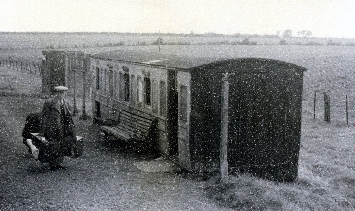
Sibleys railway station
Sibleys railway station was a station in Sibleys Green, in the civil parish of Chickney, Essex. It was located 2 miles 78 chains (4.79 km) from Elsenham...
Nearby Amenities
Located within 500m of 51.924705,0.286749Have you been to Chickney?
Leave your review of Chickney below (or comments, questions and feedback).