Broxted

Settlement in Essex Uttlesford

England

Broxted

Brick End, Broxted
Brick End, Broxted Credit: Ola

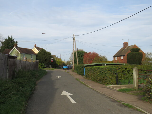
Broxted is a small village located in the Uttlesford district of Essex, England. Situated approximately 10 miles northeast of the city of Bishop's Stortford, it falls within the civil parish of Tilty. The village is surrounded by beautiful countryside and offers a peaceful rural setting.

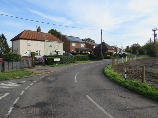
With a population of around 300 residents, Broxted maintains a close-knit community atmosphere. The village is characterized by its picturesque houses, many of which showcase traditional Tudor and Georgian architectural styles. The charming St. Mary's Church, dating back to the 12th century, stands proudly in the heart of the village, adding to its historic appeal.

Amenities in Broxted are limited, reflecting its small size. However, the village does have a community hall that serves as a hub for various social and recreational activities. The nearby market towns of Great Dunmow and Bishop's Stortford offer a wider range of amenities, including shops, restaurants, and schools, ensuring residents have easy access to essential services.

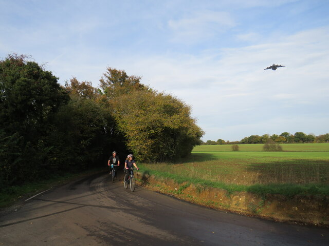
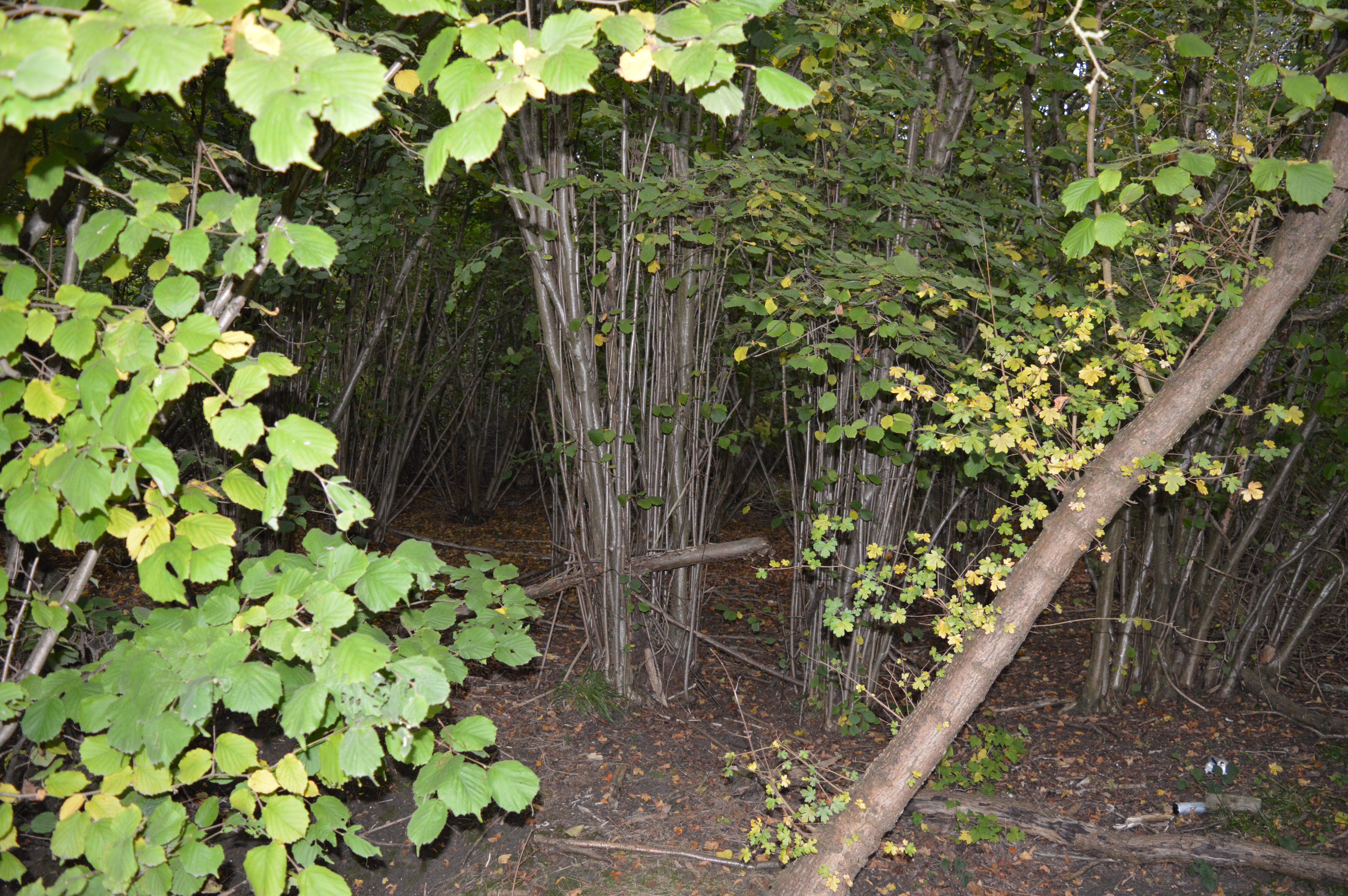
Broxted is well-positioned for outdoor enthusiasts, with numerous footpaths and bridleways that crisscross the surrounding countryside. This makes it an ideal location for walking, cycling, and horse riding. The village also benefits from its proximity to Hatfield Forest, a National Trust site renowned for its ancient woodland and diverse wildlife.

Overall, Broxted offers a peaceful and idyllic village lifestyle, with its historic charm and natural beauty appealing to those seeking a tranquil escape from urban living.

If you have any feedback on the listing, please let us know in the comments section below.

Broxted Images

Images are sourced within 2km of 51.920302/0.293986 or Grid Reference TL5727. Thanks to Geograph Open Source API. All images are credited.

Brick End, Broxted
Brick End, Broxted
Hedge, road and field On the road to Sucksted Green.
Hedge, road and field
On the road to Sucksted Green.
Field on Broxted Hill A field of stubble - the remains of a field of barley - beside the lane between Cherry Green and Sucksted Green.
Field on Broxted Hill
A field of stubble - the remains of a field of barley - beside the lane between Cherry Green and Sucksted Green.
Woodgates End, near Elsenham Woodgates End is a minor road with a few cottages in north Essex countryside.
Woodgates End, near Elsenham
Woodgates End is a minor road with a few cottages in north Essex countryside.
Brick End, near Great Dunmow Brick End is a small hamlet in north Essex.  It is in the parish of Broxted.  Stansted Airport is close by.  In this image, an aeroplane can be seen as it prepares to land.
Brick End, near Great Dunmow
Brick End is a small hamlet in north Essex. It is in the parish of Broxted. Stansted Airport is close by. In this image, an aeroplane can be seen as it prepares to land.
Brick End, near Great Dunmow A junction of minor roads in the hamlet of Brick End in north Essex.

A traditional wooden signpost stands at the roadside.  A small blue sign attached to the signpost indicates a route signposted for cycling, towards National Cycle Network route 16.  This location is not on the National Cycle Network, however.
Brick End, near Great Dunmow
A junction of minor roads in the hamlet of Brick End in north Essex. A traditional wooden signpost stands at the roadside. A small blue sign attached to the signpost indicates a route signposted for cycling, towards National Cycle Network route 16. This location is not on the National Cycle Network, however.
Brick End, near Great Dunmow A lane in the small hamlet of Brick End in north Essex.
Brick End, near Great Dunmow
A lane in the small hamlet of Brick End in north Essex.
Brick End Lane, near Stansted Airport Bricl End Lane is a minor lane in north Essex countryside.  It lies under the flight path approaching Stansted Airport.  In this image, two cyclists make their way along the lane while a military aircraft passes low overhead.
Brick End Lane, near Stansted Airport
Bricl End Lane is a minor lane in north Essex countryside. It lies under the flight path approaching Stansted Airport. In this image, two cyclists make their way along the lane while a military aircraft passes low overhead.
Brick End, near Great Dunmow Brick End is a small hamlet in north Essex.  It lies within the parish of Broxted.
Brick End, near Great Dunmow
Brick End is a small hamlet in north Essex. It lies within the parish of Broxted.
Prince of Wales pub, Brick End, near Great Dunmow The Prince of Wales pub in the hamlet of Brick End, in north Essex.
Prince of Wales pub, Brick End, near Great Dunmow
The Prince of Wales pub in the hamlet of Brick End, in north Essex.
Brick End, near Great Dunmow Houses in the hamlet of Brick End, in north Essex.
Brick End, near Great Dunmow
Houses in the hamlet of Brick End, in north Essex.
Brick End, near Great Dunmow Brick End is a small hamlet in north Essex.  It lies close to Stansted Airport.  In this image, an aeroplane is preparing to land at Stansted.

The arrow on the road surface indicates that this is a one-way road.
Brick End, near Great Dunmow
Brick End is a small hamlet in north Essex. It lies close to Stansted Airport. In this image, an aeroplane is preparing to land at Stansted. The arrow on the road surface indicates that this is a one-way road.
Brick End, near Great Dunmow Brick End is a small hamlet in north Essex.  This image looks along a road leading northwards out of the hamlet.
Brick End, near Great Dunmow
Brick End is a small hamlet in north Essex. This image looks along a road leading northwards out of the hamlet.
Brick End, near Great Dunmow A minor road leading out of the hamlet of Brick End, in north Essex.
Brick End, near Great Dunmow
A minor road leading out of the hamlet of Brick End, in north Essex.
Minor road approaching Broxted, near Great Dunmow A minor road through north Essex countryside.
Minor road approaching Broxted, near Great Dunmow
A minor road through north Essex countryside.
Minor road approaching Broxted, near Great Dunmow A minor road approaching the village of Broxted in north Essex.
Minor road approaching Broxted, near Great Dunmow
A minor road approaching the village of Broxted in north Essex.
Houses in Broxted, near Great Dunmow A colourful row of houses in the village of Broxted in north Essex.
Houses in Broxted, near Great Dunmow
A colourful row of houses in the village of Broxted in north Essex.
Autumn in Broxted, near Great Dunmow An image taken on a late October day in the village of Broxted, in north Essex.

Trees were turning to shades of red and gold and shedding their leaves in preparation for the winter months ahead.
Autumn in Broxted, near Great Dunmow
An image taken on a late October day in the village of Broxted, in north Essex. Trees were turning to shades of red and gold and shedding their leaves in preparation for the winter months ahead.
Show me another place!

Broxted is located at Grid Ref: TL5727 (Lat: 51.920302, Lng: 0.293986)

Administrative County: Essex

District: Uttlesford

Police Authority: Essex

What 3 Words

///relatives.nicknames.impeached. Near Elsenham, Essex

Related Wikis

Broxted

Broxted is a village and civil parish in the Uttlesford district, in the county of Essex, England. It is situated 11 km (6.8 mi) north-east from Bishop...

St Mary's Church, Chickney

St Mary's Church is a redundant Anglican church in the parish of Chickney, Essex, England. It is recorded in the National Heritage List for England as...

Chickney

Chickney is a village and civil parish near Broxted and southwest of Thaxted, in Uttlesford, Essex, England. The parish borders Broxted, Debden, Henham...

Pledgdon Green

Pledgdon Green, also known as Pledgdon or Prison Green, is a hamlet in the parish of Henham, in the Uttlesford district of Essex, England. The hamlet is...

Tilty Abbey

Tilty Abbey was a Cistercian abbey in Tilty, Essex, England. It was dissolved 3 March 1536. The chapel, with a nave built circa 1220, became a parish church...

Tilty

Tilty or Tylsey is a village and a civil parish in the Uttlesford district, in the county of Essex, England. In 2001 the population of the civil parish...

Elsenham Woods

Elsenham Woods is a 44.4-hectare (110-acre) biological Site of Special Scientific Interest east of Elsenham in Essex. It was notified under Section 28...

Armigers, Essex

Armigers is a hamlet on the B1051 road in the Uttlesford district of Essex, England. It is located midway between Thaxted and Broxted.

Nearby Amenities

Located within 500m of 51.920302,0.293986
Broxted
Place: village
Source: NPE
Lat/Long: 51.9197356/0.291352
Cranham Road
Naptan AtcoCode: 150018014003
Naptan Bearing: NE
Naptan BusStopType: CUS
Naptan CommonName: Cranham Road
Naptan Crossing: Cranham Road
Naptan Indicator: Opp
Naptan Landmark: Cranham Road
Naptan NaptanCode: esxdapad
Naptan Street: Broxted Road
Naptan Verified: no
Public Transport: platform
Source: naptan_import
Lat/Long: 51.9186223/0.2910928
Broxted Road
Naptan AtcoCode: 150018014008
Naptan Bearing: N
Naptan BusStopType: CUS
Naptan CommonName: Thaxted Road
Naptan Indicator: N-bound
Naptan Landmark: Thaxted Road
Naptan NaptanCode: esxdapdm
Naptan Street: Thaxted Road
Naptan Verified: no
Public Transport: platform
Source: naptan_import
Lat/Long: 51.9238344/0.297278
Broxted Road
Naptan AtcoCode: 1500180140Y8
Naptan Bearing: S
Naptan BusStopType: CUS
Naptan CommonName: Thaxted Road
Naptan Indicator: S-bound
Naptan Landmark: Thaxted Road
Naptan NaptanCode: esxgtwda
Naptan Street: Thaxted Road
Naptan Verified: no
Public Transport: platform
Source: naptan_import
Lat/Long: 51.9238058/0.2973638
Cranham Road
Naptan AtcoCode: 150018014Y03
Naptan Bearing: SW
Naptan BusStopType: CUS
Naptan CommonName: Cranham Road
Naptan Crossing: Cranham Road
Naptan Indicator: Adj
Naptan Landmark: Cranham Road
Naptan NaptanCode: esxgpjtj
Naptan Street: Broxted Road
Naptan Verified: no
Public Transport: platform
Source: naptan_import
Lat/Long: 51.9186818/0.2912704
Moor End Lane
Naptan AtcoCode: 1500IM2131
Naptan Bearing: E
Naptan BusStopType: CUS
Naptan CommonName: Church End
Naptan Crossing: Moor End Lane
Naptan Indicator: E-bound
Naptan Landmark: Church End
Naptan NaptanCode: esxdapdj
Naptan Street: Broxted Road
Naptan Verified: no
Public Transport: platform
Source: naptan_import
Lat/Long: 51.9203053/0.293331
Moor End Lane
Naptan AtcoCode: 1500IM2131AA
Naptan Bearing: W
Naptan BusStopType: CUS
Naptan CommonName: Church End
Naptan Crossing: Moor End Lane
Naptan Indicator: W-bound
Naptan Landmark: Church End
Naptan NaptanCode: esxgtpdt
Naptan Street: Broxted Road
Naptan Verified: no
Public Transport: platform
Source: naptan_import
Lat/Long: 51.9202422/0.2933423
Church End
Place: hamlet
Source: survey
Lat/Long: 51.920428/0.2952162
Advertising: board
Direction: 5
Lat/Long: 51.9187669/0.2913987
Bench
Backrest: yes
Material: wood
Lat/Long: 51.9198432/0.2918707
Waste Basket
Lat/Long: 51.9198879/0.2919029
Marker: post
Material: concrete
Utility: yes
Lat/Long: 51.9230867/0.2969613
Information: guidepost
Tourism: information
Lat/Long: 51.9193961/0.2976705
Barrier: bollard
Bollard: octagonal
Colour: dark green
Lat/Long: 51.9232936/0.2967673
The data included in this document is from www.openstreetmap.org. The data is made available under ODbL.

Have you been to Broxted?

Leave your review of Broxted below (or comments, questions and feedback).