Saltram Wood

Wood, Forest in Devon

England

Saltram Wood

Old Boundary Marker on Old Laira Road, Plymouth Municipal Boundary Marker facing east against the front garden wall of No.369 Old Laira Road, Plymouth, close to the junction with Manor Lane. Inscribed J.T. BOND / 1896 for John Thomas Bond, mayor.

Milestone Society National ID: DV_PCBS48pb
Old Boundary Marker on Old Laira Road, Plymouth Credit: T Jenkinson

Saltram Wood, located in Devon, is a picturesque woodland area that spans over 250 acres. This captivating forest is situated on the outskirts of Plymouth, near the River Plym. Saltram Wood is a haven for nature enthusiasts and offers a peaceful retreat from the bustling city life.

The woodland boasts a diverse range of trees, including oak, beech, and birch, creating a charming and enchanting atmosphere. The forest floor is covered in a lush carpet of ferns and wildflowers, adding to the beauty of this natural wonderland.

Saltram Wood is not only known for its scenic beauty but also for its rich biodiversity. The forest provides a habitat for a variety of wildlife, including deer, badgers, and various bird species. Visitors may catch a glimpse of these creatures as they wander through the trails.

The wood offers several well-maintained paths and trails, allowing visitors to explore the area at their own pace. These paths are suitable for both leisurely walks and more challenging hikes, catering to different fitness levels. The woodland also features picnic areas, providing the perfect setting for a family outing or a peaceful lunch in nature.

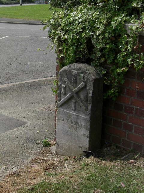
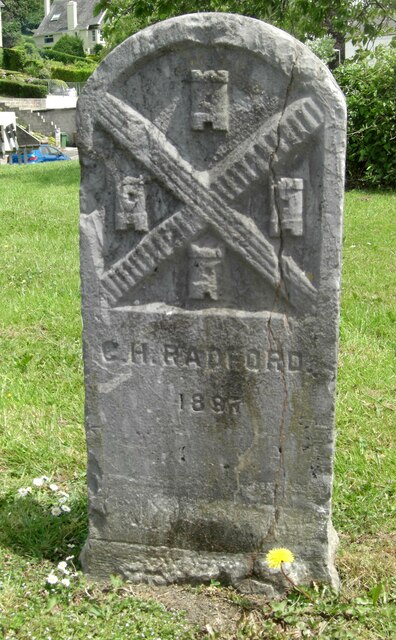
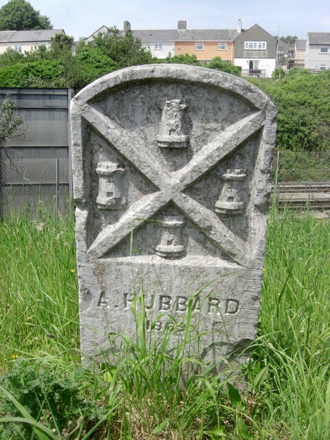
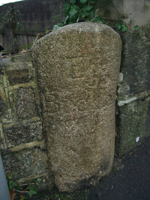
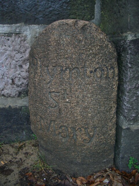
Saltram Wood is not only a popular destination for nature lovers but also for history enthusiasts. The forest has a rich history, dating back to the medieval times when it was part of the Saltram Estate. Visitors can still spot remnants of the estate, such as old gateways and walls, adding a touch of intrigue to their exploration.

Overall, Saltram Wood offers a delightful escape into nature, with its captivating scenery, diverse wildlife, and intriguing history. Whether one seeks tranquility, adventure, or a deeper connection with nature, this woodland in Devon is a must-visit destination.

If you have any feedback on the listing, please let us know in the comments section below.
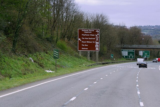
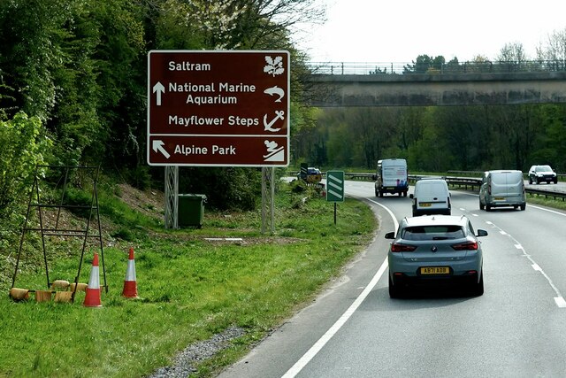
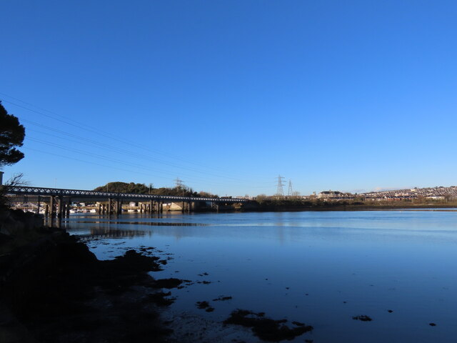
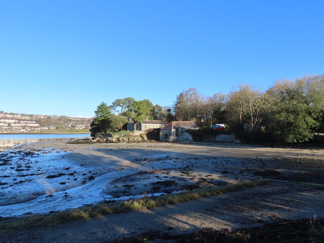
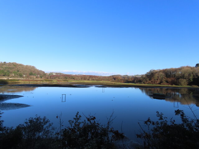
Saltram Wood Images

Images are sourced within 2km of 50.381466/-4.0935911 or Grid Reference SX5155. Thanks to Geograph Open Source API. All images are credited.

Old Boundary Marker on Old Laira Road, Plymouth Municipal Boundary Marker facing east against the front garden wall of No.369 Old Laira Road, Plymouth, close to the junction with Manor Lane. Inscribed J.T. BOND / 1896 for John Thomas Bond, mayor.

Milestone Society National ID: DV_PCBS48pb
Old Boundary Marker on Old Laira Road, Plymouth
Municipal Boundary Marker facing east against the front garden wall of No.369 Old Laira Road, Plymouth, close to the junction with Manor Lane. Inscribed J.T. BOND / 1896 for John Thomas Bond, mayor. Milestone Society National ID: DV_PCBS48pb
Old Boundary Marker on Old Laira Road, Plymouth Municipal Boundary Marker on the east side of the junction of the B3214 Old Laira Road and the A374 Embankment Road, Plymouth. Inscribed C.H. RADFORD / 1897 for Charles H Radford, mayor.

Milestone Society National ID: DV_PCBS49pb
Old Boundary Marker on Old Laira Road, Plymouth
Municipal Boundary Marker on the east side of the junction of the B3214 Old Laira Road and the A374 Embankment Road, Plymouth. Inscribed C.H. RADFORD / 1897 for Charles H Radford, mayor. Milestone Society National ID: DV_PCBS49pb
Old Boundary Marker on Embankment Road, Plymouth Municipal Boundary Marker in front of a crash barrier where it meets metal railings on the southeast side of the A374 Embankment Road opposite the junction with Old Laira Road, Plymouth. Inscribed J.T. BOND / (1896) for John Thomas Bond, mayor.

Milestone Society National ID: DV_PCBS50pb
Old Boundary Marker on Embankment Road, Plymouth
Municipal Boundary Marker in front of a crash barrier where it meets metal railings on the southeast side of the A374 Embankment Road opposite the junction with Old Laira Road, Plymouth. Inscribed J.T. BOND / (1896) for John Thomas Bond, mayor. Milestone Society National ID: DV_PCBS50pb
Old Boundary Marker on Lanhydrock Road, Plymouth Municipal Boundary Marker behind a wire mesh fence in Embankment Road allotments, on the north side of Lanhydrock Road, Plymouth. Inscribed A. HUBBARD / 1869 for Alexander Hubbard, mayor.

Milestone Society National ID: DV_PCBS51pb
Old Boundary Marker on Lanhydrock Road, Plymouth
Municipal Boundary Marker behind a wire mesh fence in Embankment Road allotments, on the north side of Lanhydrock Road, Plymouth. Inscribed A. HUBBARD / 1869 for Alexander Hubbard, mayor. Milestone Society National ID: DV_PCBS51pb
Old Boundary Marker on Longridge Road, Plymouth Parish Boundary Marker between the west end of the parapet of Long Bridge and a stone wall on the east side of Longbridge Road, just off the B3416 Plymouth Road. Inscribed Egg / Buckland. Until 1939 this marked the boundary of Egg Buckland and Plympton St Mary parishes, after which Egg Buckland became part of Plymouth parish and borough.

Milestone Society National ID: DV_PLEX02apb
Old Boundary Marker on Longridge Road, Plymouth
Parish Boundary Marker between the west end of the parapet of Long Bridge and a stone wall on the east side of Longbridge Road, just off the B3416 Plymouth Road. Inscribed Egg / Buckland. Until 1939 this marked the boundary of Egg Buckland and Plympton St Mary parishes, after which Egg Buckland became part of Plymouth parish and borough. Milestone Society National ID: DV_PLEX02apb
Old Boundary Marker on Plymouth Road, Plympton St Mary Parish Boundary Marker at the east end of the parapet of Long Bridge on the north side of the B3416 Plymouth Road. Inscribed Plympton / St / Mary. Until 1939 this marked the boundary of Egg Buckland and Plympton St Mary parishes, after which Egg Buckland became part of Plymouth parish and borough. See also <a title="https://www.geograph.org.uk/photo/1526519" href="https://www.geograph.org.uk/photo/1526519">Link</a>.

Milestone Society National ID: DV_PLEX02bpb
Old Boundary Marker on Plymouth Road, Plympton St Mary
Parish Boundary Marker at the east end of the parapet of Long Bridge on the north side of the B3416 Plymouth Road. Inscribed Plympton / St / Mary. Until 1939 this marked the boundary of Egg Buckland and Plympton St Mary parishes, after which Egg Buckland became part of Plymouth parish and borough. See also Link. Milestone Society National ID: DV_PLEX02bpb
Old Bridge Marker on Plymouth Road, Lee Mill County Bridge Marker in Lee Mill on the northwest side of the junction of Plymouth Road and New Park Road, 96 metres west of Leemill Bridge, River Yealm. Sparkwell parish. The stone marks the extent of roadway adjoining the bridge that the County was obliged to maintain.

Milestone Society National ID: DV_PLEX08br
Old Bridge Marker on Plymouth Road, Lee Mill
County Bridge Marker in Lee Mill on the northwest side of the junction of Plymouth Road and New Park Road, 96 metres west of Leemill Bridge, River Yealm. Sparkwell parish. The stone marks the extent of roadway adjoining the bridge that the County was obliged to maintain. Milestone Society National ID: DV_PLEX08br
Saltram House Saltram House, near Plymouth, a National Trust property.
Saltram House
Saltram House, near Plymouth, a National Trust property.
The Plym Valley Railway Locomotives in the yard at the Plym Valley Railway.  This was a non operational day, and the insurance company Boiler Inspector was testing 'Albert', the red engine in the picture.  Steam locomotive boilers have to be regularly tested for safety before they can be used.
The Plym Valley Railway
Locomotives in the yard at the Plym Valley Railway. This was a non operational day, and the insurance company Boiler Inspector was testing 'Albert', the red engine in the picture. Steam locomotive boilers have to be regularly tested for safety before they can be used.
A38 Devon Expressway near Saltram Park The A38 is a major A-class trunk route. When first designated in 1922, it ran from Derby to Plymouth but it was later extended at both ends so that it now runs for 292 miles from Mansfield in Nottinghamshire to Bodmin in Cornwall.

Prior to the opening of the M5 motorway in the 1960s and 1970s, the A38 formed the main "holiday route" from the Midlands to Somerset, Devon and Cornwall and the south-western section was notorious at holiday times for the congestion. Nowadays, for most of the southern section, the A38 is a fairly quiet road shadowing the M5 extremely closely; often running alongside the motorway as a single carriageway road. The section between Exeter and Plymouth is, however, a busy dual carriageway which serves as the southern extension of the M5 and is known as “the Devon Expressway”.

More information at <span class="nowrap"><a title="http://en.wikipedia.org/wiki/A38_road" rel="nofollow ugc noopener" href="http://en.wikipedia.org/wiki/A38_road">Link</a><img style="margin-left:2px;" alt="External link" title="External link - shift click to open in new window" src="https://s1.geograph.org.uk/img/external.png" width="10" height="10"/></span>  (Wikipedia) and <span class="nowrap"><a title="http://www.sabre-roads.org.uk/wiki/index.php?title=A38" rel="nofollow ugc noopener" href="http://www.sabre-roads.org.uk/wiki/index.php?title=A38">Link</a><img style="margin-left:2px;" alt="External link" title="External link - shift click to open in new window" src="https://s1.geograph.org.uk/img/external.png" width="10" height="10"/></span>  (SABRE).
A38 Devon Expressway near Saltram Park
The A38 is a major A-class trunk route. When first designated in 1922, it ran from Derby to Plymouth but it was later extended at both ends so that it now runs for 292 miles from Mansfield in Nottinghamshire to Bodmin in Cornwall. Prior to the opening of the M5 motorway in the 1960s and 1970s, the A38 formed the main "holiday route" from the Midlands to Somerset, Devon and Cornwall and the south-western section was notorious at holiday times for the congestion. Nowadays, for most of the southern section, the A38 is a fairly quiet road shadowing the M5 extremely closely; often running alongside the motorway as a single carriageway road. The section between Exeter and Plymouth is, however, a busy dual carriageway which serves as the southern extension of the M5 and is known as “the Devon Expressway”. More information at LinkExternal link (Wikipedia) and LinkExternal link (SABRE).
A38 at Marsh Mills Junction The A38 is a major A-class trunk route. When first designated in 1922, it ran from Derby to Plymouth but it was later extended at both ends so that it now runs for 292 miles from Mansfield in Nottinghamshire to Bodmin in Cornwall.

Prior to the opening of the M5 motorway in the 1960s and 1970s, the A38 formed the main "holiday route" from the Midlands to Somerset, Devon and Cornwall and the south-western section was notorious at holiday times for the congestion. Nowadays, for most of the southern section, the A38 is a fairly quiet road shadowing the M5 extremely closely; often running alongside the motorway as a single carriageway road. The section between Exeter and Plymouth is, however, a busy dual carriageway which serves as the southern extension of the M5 and is known as “the Devon Expressway”.

More information at <span class="nowrap"><a title="http://en.wikipedia.org/wiki/A38_road" rel="nofollow ugc noopener" href="http://en.wikipedia.org/wiki/A38_road">Link</a><img style="margin-left:2px;" alt="External link" title="External link - shift click to open in new window" src="https://s1.geograph.org.uk/img/external.png" width="10" height="10"/></span>  (Wikipedia) and <span class="nowrap"><a title="http://www.sabre-roads.org.uk/wiki/index.php?title=A38" rel="nofollow ugc noopener" href="http://www.sabre-roads.org.uk/wiki/index.php?title=A38">Link</a><img style="margin-left:2px;" alt="External link" title="External link - shift click to open in new window" src="https://s1.geograph.org.uk/img/external.png" width="10" height="10"/></span>  (SABRE).
A38 at Marsh Mills Junction
The A38 is a major A-class trunk route. When first designated in 1922, it ran from Derby to Plymouth but it was later extended at both ends so that it now runs for 292 miles from Mansfield in Nottinghamshire to Bodmin in Cornwall. Prior to the opening of the M5 motorway in the 1960s and 1970s, the A38 formed the main "holiday route" from the Midlands to Somerset, Devon and Cornwall and the south-western section was notorious at holiday times for the congestion. Nowadays, for most of the southern section, the A38 is a fairly quiet road shadowing the M5 extremely closely; often running alongside the motorway as a single carriageway road. The section between Exeter and Plymouth is, however, a busy dual carriageway which serves as the southern extension of the M5 and is known as “the Devon Expressway”. More information at LinkExternal link (Wikipedia) and LinkExternal link (SABRE).
Devon Expressway, Marsh Mills Flyover The A38 is a major A-class trunk route. When first designated in 1922, it ran from Derby to Plymouth but it was later extended at both ends so that it now runs for 292 miles from Mansfield in Nottinghamshire to Bodmin in Cornwall.

Prior to the opening of the M5 motorway in the 1960s and 1970s, the A38 formed the main "holiday route" from the Midlands to Somerset, Devon and Cornwall and the south-western section was notorious at holiday times for the congestion. Nowadays, for most of the southern section, the A38 is a fairly quiet road shadowing the M5 extremely closely; often running alongside the motorway as a single carriageway road. The section between Exeter and Plymouth is, however, a busy dual carriageway which serves as the southern extension of the M5 and is known as “the Devon Expressway”.

More information at <span class="nowrap"><a title="http://en.wikipedia.org/wiki/A38_road" rel="nofollow ugc noopener" href="http://en.wikipedia.org/wiki/A38_road">Link</a><img style="margin-left:2px;" alt="External link" title="External link - shift click to open in new window" src="https://s1.geograph.org.uk/img/external.png" width="10" height="10"/></span>  (Wikipedia) and <span class="nowrap"><a title="http://www.sabre-roads.org.uk/wiki/index.php?title=A38" rel="nofollow ugc noopener" href="http://www.sabre-roads.org.uk/wiki/index.php?title=A38">Link</a><img style="margin-left:2px;" alt="External link" title="External link - shift click to open in new window" src="https://s1.geograph.org.uk/img/external.png" width="10" height="10"/></span>  (SABRE).
Devon Expressway, Marsh Mills Flyover
The A38 is a major A-class trunk route. When first designated in 1922, it ran from Derby to Plymouth but it was later extended at both ends so that it now runs for 292 miles from Mansfield in Nottinghamshire to Bodmin in Cornwall. Prior to the opening of the M5 motorway in the 1960s and 1970s, the A38 formed the main "holiday route" from the Midlands to Somerset, Devon and Cornwall and the south-western section was notorious at holiday times for the congestion. Nowadays, for most of the southern section, the A38 is a fairly quiet road shadowing the M5 extremely closely; often running alongside the motorway as a single carriageway road. The section between Exeter and Plymouth is, however, a busy dual carriageway which serves as the southern extension of the M5 and is known as “the Devon Expressway”. More information at LinkExternal link (Wikipedia) and LinkExternal link (SABRE).
A38 at Forder Valley Interchange The A38 is a major A-class trunk route. When first designated in 1922, it ran from Derby to Plymouth but it was later extended at both ends so that it now runs for 292 miles from Mansfield in Nottinghamshire to Bodmin in Cornwall.

Prior to the opening of the M5 motorway in the 1960s and 1970s, the A38 formed the main "holiday route" from the Midlands to Somerset, Devon and Cornwall and the south-western section was notorious at holiday times for the congestion. Nowadays, for most of the southern section, the A38 is a fairly quiet road shadowing the M5 extremely closely; often running alongside the motorway as a single carriageway road. The section between Exeter and Plymouth is, however, a busy dual carriageway which serves as the southern extension of the M5 and is known as “the Devon Expressway”.

More information at <span class="nowrap"><a title="http://en.wikipedia.org/wiki/A38_road" rel="nofollow ugc noopener" href="http://en.wikipedia.org/wiki/A38_road">Link</a><img style="margin-left:2px;" alt="External link" title="External link - shift click to open in new window" src="https://s1.geograph.org.uk/img/external.png" width="10" height="10"/></span>  (Wikipedia) and <span class="nowrap"><a title="http://www.sabre-roads.org.uk/wiki/index.php?title=A38" rel="nofollow ugc noopener" href="http://www.sabre-roads.org.uk/wiki/index.php?title=A38">Link</a><img style="margin-left:2px;" alt="External link" title="External link - shift click to open in new window" src="https://s1.geograph.org.uk/img/external.png" width="10" height="10"/></span>  (SABRE).
A38 at Forder Valley Interchange
The A38 is a major A-class trunk route. When first designated in 1922, it ran from Derby to Plymouth but it was later extended at both ends so that it now runs for 292 miles from Mansfield in Nottinghamshire to Bodmin in Cornwall. Prior to the opening of the M5 motorway in the 1960s and 1970s, the A38 formed the main "holiday route" from the Midlands to Somerset, Devon and Cornwall and the south-western section was notorious at holiday times for the congestion. Nowadays, for most of the southern section, the A38 is a fairly quiet road shadowing the M5 extremely closely; often running alongside the motorway as a single carriageway road. The section between Exeter and Plymouth is, however, a busy dual carriageway which serves as the southern extension of the M5 and is known as “the Devon Expressway”. More information at LinkExternal link (Wikipedia) and LinkExternal link (SABRE).
Devon Expressway near Plymouth The A38 is a major A-class trunk route. When first designated in 1922, it ran from Derby to Plymouth but it was later extended at both ends so that it now runs for 292 miles from Mansfield in Nottinghamshire to Bodmin in Cornwall.

Prior to the opening of the M5 motorway in the 1960s and 1970s, the A38 formed the main "holiday route" from the Midlands to Somerset, Devon and Cornwall and the south-western section was notorious at holiday times for the congestion. Nowadays, for most of the southern section, the A38 is a fairly quiet road shadowing the M5 extremely closely; often running alongside the motorway as a single carriageway road. The section between Exeter and Plymouth is, however, a busy dual carriageway which serves as the southern extension of the M5 and is known as “the Devon Expressway”.

More information at <span class="nowrap"><a title="http://en.wikipedia.org/wiki/A38_road" rel="nofollow ugc noopener" href="http://en.wikipedia.org/wiki/A38_road">Link</a><img style="margin-left:2px;" alt="External link" title="External link - shift click to open in new window" src="https://s1.geograph.org.uk/img/external.png" width="10" height="10"/></span>  (Wikipedia) and <span class="nowrap"><a title="http://www.sabre-roads.org.uk/wiki/index.php?title=A38" rel="nofollow ugc noopener" href="http://www.sabre-roads.org.uk/wiki/index.php?title=A38">Link</a><img style="margin-left:2px;" alt="External link" title="External link - shift click to open in new window" src="https://s1.geograph.org.uk/img/external.png" width="10" height="10"/></span>  (SABRE).
Devon Expressway near Plymouth
The A38 is a major A-class trunk route. When first designated in 1922, it ran from Derby to Plymouth but it was later extended at both ends so that it now runs for 292 miles from Mansfield in Nottinghamshire to Bodmin in Cornwall. Prior to the opening of the M5 motorway in the 1960s and 1970s, the A38 formed the main "holiday route" from the Midlands to Somerset, Devon and Cornwall and the south-western section was notorious at holiday times for the congestion. Nowadays, for most of the southern section, the A38 is a fairly quiet road shadowing the M5 extremely closely; often running alongside the motorway as a single carriageway road. The section between Exeter and Plymouth is, however, a busy dual carriageway which serves as the southern extension of the M5 and is known as “the Devon Expressway”. More information at LinkExternal link (Wikipedia) and LinkExternal link (SABRE).
Eastbound A38 near Plymouth The A38 is a major A-class trunk route. When first designated in 1922, it ran from Derby to Plymouth but it was later extended at both ends so that it now runs for 292 miles from Mansfield in Nottinghamshire to Bodmin in Cornwall.

Prior to the opening of the M5 motorway in the 1960s and 1970s, the A38 formed the main "holiday route" from the Midlands to Somerset, Devon and Cornwall and the south-western section was notorious at holiday times for the congestion. Nowadays, for most of the southern section, the A38 is a fairly quiet road shadowing the M5 extremely closely; often running alongside the motorway as a single carriageway road. The section between Exeter and Plymouth is, however, a busy dual carriageway which serves as the southern extension of the M5 and is known as “the Devon Expressway”.

More information at <span class="nowrap"><a title="http://en.wikipedia.org/wiki/A38_road" rel="nofollow ugc noopener" href="http://en.wikipedia.org/wiki/A38_road">Link</a><img style="margin-left:2px;" alt="External link" title="External link - shift click to open in new window" src="https://s1.geograph.org.uk/img/external.png" width="10" height="10"/></span>  (Wikipedia) and <span class="nowrap"><a title="http://www.sabre-roads.org.uk/wiki/index.php?title=A38" rel="nofollow ugc noopener" href="http://www.sabre-roads.org.uk/wiki/index.php?title=A38">Link</a><img style="margin-left:2px;" alt="External link" title="External link - shift click to open in new window" src="https://s1.geograph.org.uk/img/external.png" width="10" height="10"/></span>  (SABRE).
Eastbound A38 near Plymouth
The A38 is a major A-class trunk route. When first designated in 1922, it ran from Derby to Plymouth but it was later extended at both ends so that it now runs for 292 miles from Mansfield in Nottinghamshire to Bodmin in Cornwall. Prior to the opening of the M5 motorway in the 1960s and 1970s, the A38 formed the main "holiday route" from the Midlands to Somerset, Devon and Cornwall and the south-western section was notorious at holiday times for the congestion. Nowadays, for most of the southern section, the A38 is a fairly quiet road shadowing the M5 extremely closely; often running alongside the motorway as a single carriageway road. The section between Exeter and Plymouth is, however, a busy dual carriageway which serves as the southern extension of the M5 and is known as “the Devon Expressway”. More information at LinkExternal link (Wikipedia) and LinkExternal link (SABRE).
Laira Bridge
Laira Bridge
Saltram Point
Saltram Point
Wetlands at Saltram
Wetlands at Saltram
Show me another place!

Saltram Wood is located at Grid Ref: SX5155 (Lat: 50.381466, Lng: -4.0935911)

Unitary Authority: Plymouth

Police Authority: Devon and Cornwall

What 3 Words

///ants.scale.worked. Near Plymstock, Devon

Related Wikis

Laira Battery

Laira Battery is a former 19th-century Fort, built as a result of the Royal Commission on National Defence of 1859. It was built to defend the landward...

Laira

Laira – previously recorded as Lare (1591), Lary poynte (1638), the Leerie (1643), and the Lairy (1802) – was originally the name given to that part of...

Saltram House

Saltram House is a grade I listed George II era house in Plympton, Devon, England. It was deemed by the architectural critic Pevsner to be "the most impressive...

Laira Traction and Rolling Stock Maintenance Depot

Laira Traction and Rolling Stock Maintenance Depot is a railway traction maintenance depot situated in Plymouth, Devon, England. The depot is operated...

Crabtree, Plymouth

Crabtree is a suburb of Plymouth in the English county of Devon. Originally, it was a small village beside the coaching route around the top of the Plym...

Lipson Co-operative Academy

Lipson Co-operative Academy (formerly Lipson Community College) is a coeducational secondary school and sixth form with academy status, located in the...

Plymouth Coliseum

Plymouth Coliseum, formerly known as St Boniface Arena, is a rugby field and speedway venue in Plymouth, Devon. It is situated adjacent to the River Plym...

Fort Efford

Fort Efford is a former 19th-century Fort, built as a result of the Royal Commission on National Defence of 1859. It was built to defend the landward approaches...

Nearby Amenities

Located within 500m of 50.381466,-4.0935911
Created By: almien_coastlines
Source: PGS
Lat/Long: 50.3834965/-4.0879383
Railway: switch
Lat/Long: 50.3845472/-4.0974131
Barrier: cycle_barrier
Cycle Barrier: double
Cycle Barrier Installation: fixed
Lat/Long: 50.3848953/-4.0968457
Crossing
Crossing: unmarked
Kerb: lowered
Tactile Paving: no
Lat/Long: 50.3848008/-4.097848
Fuel
Esso
Brand: Esso
Brand Wikidata: Q867662
Brand Wikipedia: en:Esso
Compressed Air: yes
Contact Website: https://www.esso.co.uk/en-gb/find-station/esso-plymouth-essomfgplymouth-100354094
Fuel Diesel: yes
Fuel Octane 95: yes
Opening Hours: 24/7
Operator: Motor Fuel Group
Operator Website: https://www.motorfuelgroup.com/locations/plymouth-fs865/
Operator Wikidata: Q107271358
Lat/Long: 50.3855184/-4.0957039
Crossing
Crossing: unmarked
Kerb: lowered
Tactile Paving: no
Lat/Long: 50.3849428/-4.096903
Railway: switch
Lat/Long: 50.3839422/-4.0992896
Railway: switch
Lat/Long: 50.3839717/-4.0990699
Railway: switch
Lat/Long: 50.3841635/-4.0985756
Railway: switch
Lat/Long: 50.3842672/-4.0982406
Railway: switch
Lat/Long: 50.3844613/-4.0977456
Railway: switch
Lat/Long: 50.3847118/-4.0969043
Railway: buffer_stop
Lat/Long: 50.3851519/-4.0942368
The Ampitheatre
Historic: monument
Lat/Long: 50.3817903/-4.0924236
Bus Stop
Laira Flyover
Bench: yes
Bin: no
Bus: yes
Departures Board: timetable
Lit: yes
Mapillary: 432188461630058
Naptan AtcoCode: 1180PLB11992
Naptan Bearing: SW
Naptan CommonName: Laira Flyover
Naptan Indicator: SW-bound
Naptan NaptanCode: plyjwpm
Naptan PlusbusZoneRef: PLYMTH
Naptan Street: Plymouth Road
Naptan Verified: no
Public Transport: platform
Shelter: yes
Survey Date: 2021-10-30
Tactile Paving: no
Lat/Long: 50.3846061/-4.0985085
Laira Junction
Railway: junction
Lat/Long: 50.3839617/-4.0993059
Bench
Backrest: no
Lat/Long: 50.3819214/-4.0906484
Bench
Backrest: no
Lat/Long: 50.3816275/-4.0922796
Bench
Backrest: no
Lat/Long: 50.381552/-4.0926192
Bench
Backrest: no
Lat/Long: 50.3809866/-4.0941781
Bench
Backrest: no
Lat/Long: 50.3796641/-4.0988515
Bench
Backrest: no
Lat/Long: 50.3796978/-4.0986889
Bench
Backrest: no
Lat/Long: 50.3795827/-4.0984615
Bench
Backrest: no
Lat/Long: 50.3796711/-4.0985563
Playground: structure
Lat/Long: 50.3796294/-4.0985665
Bench
Backrest: no
Lat/Long: 50.3822365/-4.0926582
Bench
Backrest: no
Lat/Long: 50.3821853/-4.092405
Bench
Backrest: no
Mapillary: 3012264475686044
Source Position: Mapillary 2021-06-20
Survey Date: 2021-06-20
Lat/Long: 50.3821007/-4.0928398
Tourism: viewpoint
Lat/Long: 50.3821582/-4.0926298
Bench
Backrest: yes
Lat/Long: 50.3824819/-4.090499
Street Lamp
Ref: 17
Survey Date: 2022-03-11
Lat/Long: 50.3852239/-4.0970772
Street Lamp
Survey Date: 2022-03-11
Lat/Long: 50.3851094/-4.0976293
Street Lamp
Ref: 16/1
Survey Date: 2022-03-11
Lat/Long: 50.3848959/-4.0971643
Street Lamp
Survey Date: 2022-03-11
Lat/Long: 50.3849909/-4.0976325
Street Lamp
Survey Date: 2022-03-11
Lat/Long: 50.3851774/-4.0964088
Parcel Locker
Amazon
Brand: Amazon Hub
Brand Wikidata: Q16974764
Brand Wikipedia: en:Amazon Locker
Mapillary: 172578685262528
Operator: Amazon
Parcel Mail In: yes
Parcel Pickup: yes
Survey Date: 2022-07-28
Lat/Long: 50.3855098/-4.0959716
Atm
Survey Date: 2022-03-11
Lat/Long: 50.385559/-4.0955778
Waste Basket
Survey Date: 2022-03-11
Lat/Long: 50.3855331/-4.0954368
Street Lamp
Ref: 21
Survey Date: 2022-03-11
Lat/Long: 50.3854877/-4.0952305
Street Lamp
Survey Date: 2022-03-11
Lat/Long: 50.3856189/-4.0934795
Street Lamp
Survey Date: 2022-03-11
Lat/Long: 50.3857197/-4.0929398
Fire Hydrant
Emergency: fire_hydrant
Fire Hydrant Diameter Signed: no
Fire Hydrant Position: sidewalk
Fire Hydrant Type: underground
Survey Date: 2022-03-11
Lat/Long: 50.3853603/-4.0959339
Bus Stop
Military Road
Bench: no
Bus: yes
Naptan AtcoCode: 1180PLB11989
Naptan Bearing: E
Naptan CommonName: Military Road
Naptan Indicator: E-bound
Naptan NaptanCode: plymamj
Naptan PlusbusZoneRef: PLYMTH
Naptan Street: Plymouth Road
Public Transport: platform
Shelter: no
Survey Date: 2022-03-11
Lat/Long: 50.3855706/-4.094768
Fire Hydrant
Emergency: fire_hydrant
Fire Hydrant Diameter Signed: no
Fire Hydrant Position: sidewalk
Fire Hydrant Type: underground
Survey Date: 2022-03-11
Lat/Long: 50.3856329/-4.0943555
Street Lamp
Survey Date: 2022-03-11
Lat/Long: 50.3857245/-4.0938548
Street Lamp
Survey Date: 2022-03-11
Lat/Long: 50.3858675/-4.0923522
Street Lamp
Ref: 30
Survey Date: 2022-03-11
Lat/Long: 50.3857614/-4.0923019
Street Lamp
Ref: 28
Survey Date: 2022-03-11
Lat/Long: 50.3856383/-4.0928145
Street Lamp
Survey Date: 2022-03-11
Lat/Long: 50.3854476/-4.0946134
Street Lamp
Ref: 22
Survey Date: 2022-03-11
Lat/Long: 50.3853241/-4.0945545
Street Lamp
Ref: 20
Survey Date: 2022-03-11
Lat/Long: 50.385226/-4.0951402
Street Lamp
Survey Date: 2022-03-11
Lat/Long: 50.3852661/-4.0957844
Man Made: street_cabinet
Survey Date: 2022-03-11
Lat/Long: 50.3849273/-4.0967892
Street Lamp
Survey Date: 2022-03-11
Lat/Long: 50.3843878/-4.0983154
Street Lamp
Survey Date: 2022-03-11
Lat/Long: 50.3842816/-4.0988783
Street Lamp
Ref: 26
Survey Date: 2022-03-11
Lat/Long: 50.3855139/-4.0934561
Street Lamp
Ref: 62
Survey Date: 2022-03-11
Lat/Long: 50.3847362/-4.0975558
Street Lamp
Survey Date: 2022-03-11
Lat/Long: 50.384768/-4.0977395
Street Lamp
Survey Date: 2022-03-11
Lat/Long: 50.3855419/-4.0939501
Street Lamp
Ref: 60
Survey Date: 2022-03-11
Lat/Long: 50.3845321/-4.0978132
Londis
Brand: Londis
Brand Wikidata: Q21008564
Operator: Motor Fuel Group
Operator Website: https://www.motorfuelgroup.com/locations/plymouth-fs865/
Operator Wikidata: Q107271358
Shop: convenience
Lat/Long: 50.3855085/-4.0957911
Waste Basket
Survey Date: 2022-09-15
Waste: dog_excrement
Lat/Long: 50.3793171/-4.0903625
Access: no
Barrier: block
Bicycle: no
Foot: no
Horse: no
Motor Vehicle: no
Lat/Long: 50.382023/-4.090061
Bench
Backrest: no
Survey Date: 2023-05-02
Lat/Long: 50.3807108/-4.0960092
Waste Basket
Survey Date: 2023-05-02
Waste: dog_excrement
Lat/Long: 50.3830194/-4.0887385
Bench
Backrest: no
Survey Date: 2023-05-02
Lat/Long: 50.3831773/-4.088393
Bench
Backrest: no
Survey Date: 2023-05-02
Lat/Long: 50.3796009/-4.0991376
Waste Basket
Survey Date: 2023-05-02
Waste: dog_excrement
Lat/Long: 50.3819111/-4.092953
Waste Basket
Survey Date: 2023-05-02
Waste: dog_excrement
Lat/Long: 50.3785487/-4.098942
Bench
Backrest: no
Survey Date: 2023-12-16
Lat/Long: 50.3784785/-4.0883265
Waste Basket
Survey Date: 2023-12-16
Waste: dog_excrement
Lat/Long: 50.3784532/-4.0886259
Waste Basket
Survey Date: 2023-12-16
Waste: dog_excrement
Lat/Long: 50.3782661/-4.095872
The data included in this document is from www.openstreetmap.org. The data is made available under ODbL.

Have you been to Saltram Wood?

Leave your review of Saltram Wood below (or comments, questions and feedback).