Patchill Plantation
Wood, Forest in Devon Torridge
England
Patchill Plantation

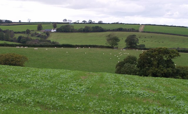
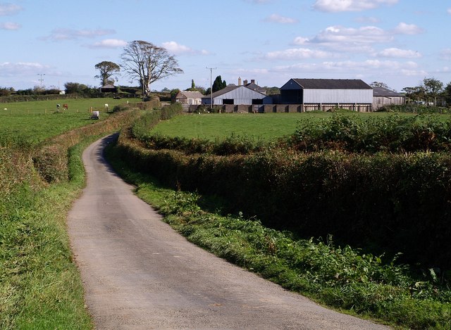
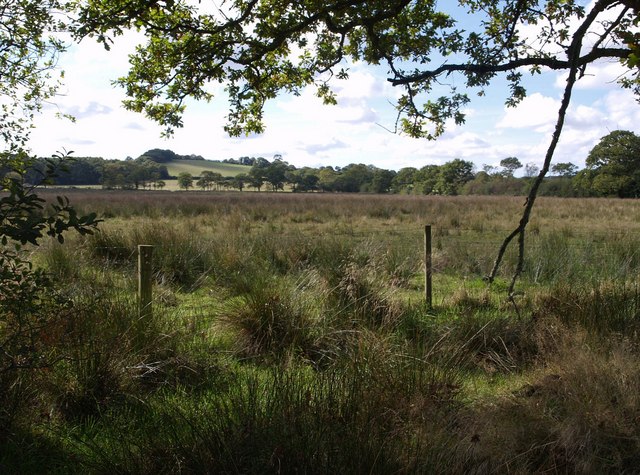
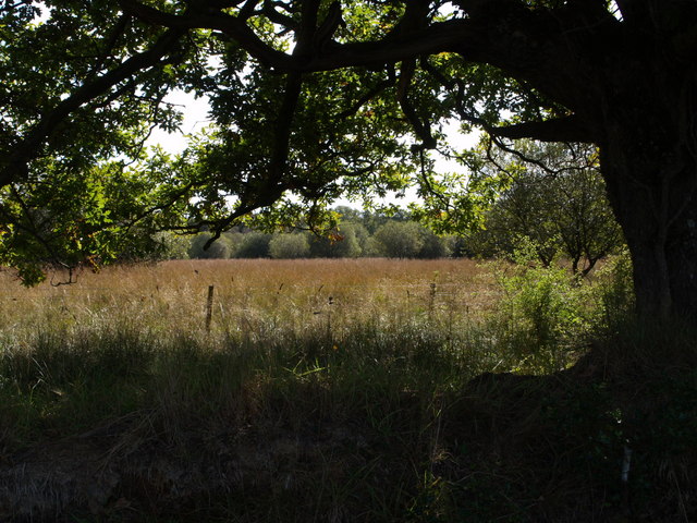
Patchill Plantation is a woodland area located in Devon, England. It is situated in the southeastern part of the county, near the town of Woodbury. The plantation covers an extensive area and is known for its diverse range of flora and fauna.
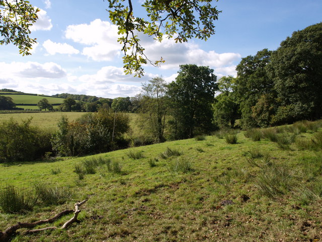
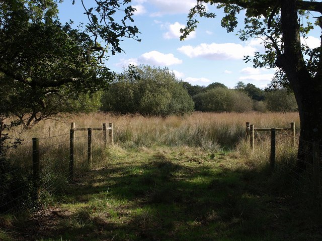
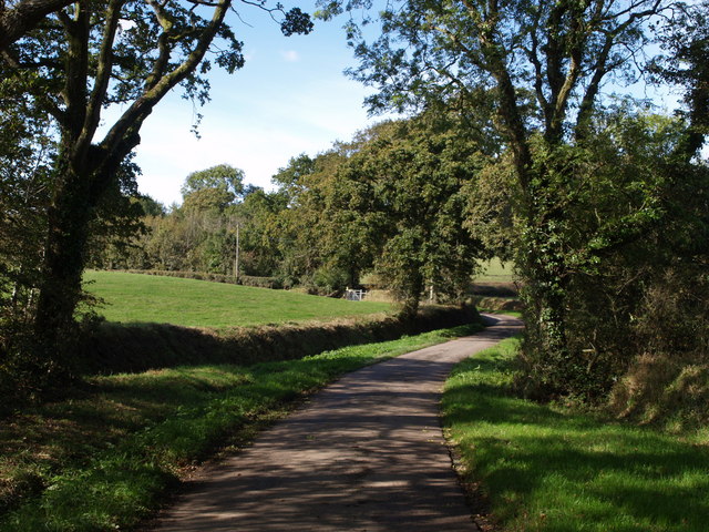
The woodland in Patchill Plantation consists primarily of deciduous trees, such as oak, beech, and ash. These trees provide a dense canopy that creates a shaded and cool environment within the plantation. The forest floor is covered in a thick layer of fallen leaves and moss, adding to the overall natural beauty of the area.
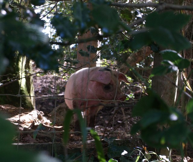
The plantation is home to a variety of wildlife, including deer, badgers, and a wide range of bird species. The dense vegetation and abundant food sources make it an ideal habitat for these animals. Birdwatchers often visit the plantation to spot species such as woodpeckers, owls, and warblers.
In addition to its natural beauty, Patchill Plantation offers recreational opportunities for visitors. There are several walking trails and footpaths that crisscross the woodland, allowing people to explore and enjoy the serene surroundings. The plantation is also a popular spot for picnics and family outings.
Over the years, Patchill Plantation has been carefully managed to preserve its natural ecosystem. It is protected as a conservation area and efforts have been made to maintain the biodiversity of the woodland. Conservationists regularly monitor the health of the trees and work to prevent the spread of invasive species.
Overall, Patchill Plantation in Devon is a picturesque woodland area that offers a tranquil escape from the hustle and bustle of everyday life. Its diverse flora and fauna make it a haven for nature lovers and a valuable natural resource for the local community.
If you have any feedback on the listing, please let us know in the comments section below.
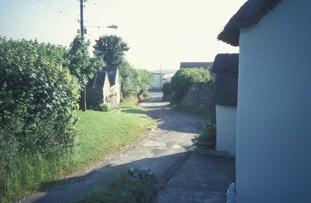
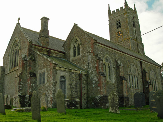
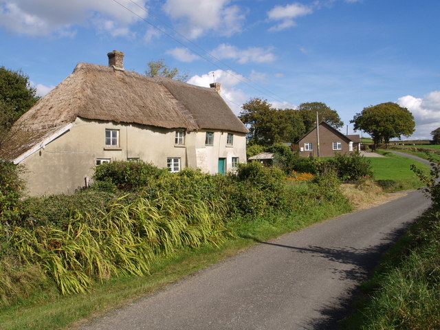
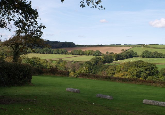
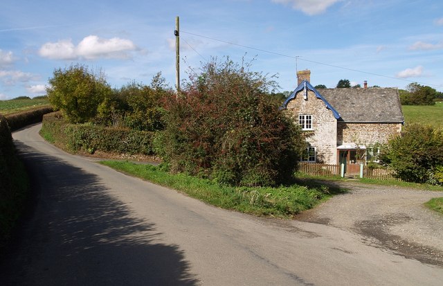
Patchill Plantation Images
Images are sourced within 2km of 50.855736/-4.115091 or Grid Reference SS5108. Thanks to Geograph Open Source API. All images are credited.


Patchill Plantation is located at Grid Ref: SS5108 (Lat: 50.855736, Lng: -4.115091)
Administrative County: Devon
District: Torridge
Police Authority: Devon and Cornwall
What 3 Words
///path.resonated.mice. Near Hatherleigh, Devon
Nearby Locations
Related Wikis

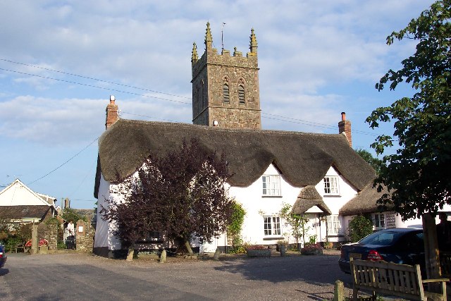
Petrockstowe
Petrockstowe (or Petrockstow) is a small village and civil parish in the district of Torridge in Northern Devon, England. Its population in 2001 was 379...

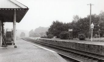
Petrockstow railway station
Petrockstow railway station was a station serving the village of Petrockstowe in West Devon, which is about one mile away. The station was, throughout...
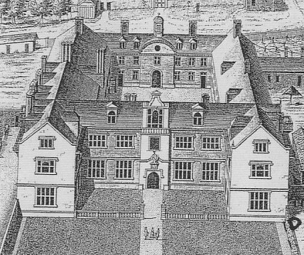
Heanton Satchville, Petrockstowe
Heanton Satchville was a historic manor in the parish of Petrockstowe, North Devon, England. With origins in the Domesday manor of Hantone, it was first...
Sheepwash, Devon
Sheepwash is a village and civil parish on the southern border of the local government district of Torridge, Devon, England. The parish, which lies about...

Meeth Halt railway station
Opened in 1925, Meeth Halt was a small railway station on the North Devon and Cornwall Junction Light Railway, a private line until it became part of the...
Meeth
Meeth is a small village roughly 13.5 km (8.4 mi) north-northwest of Okehampton and 40.7 km (25.3 mi) west-northwest of Exeter. It lies to the west of...

Huish, Torridge
Huish (anciently Hiwis) is a small village, civil parish and former manor in the Torridge district of Devon, England. The eastern boundary of the parish...
Hatherleigh railway station
Hatherleigh Railway Station was a station on the North Devon and Cornwall Junction Light Railway between Torrington and Halwill Junction, serving the town...
Nearby Amenities
Located within 500m of 50.855736,-4.115091Have you been to Patchill Plantation?
Leave your review of Patchill Plantation below (or comments, questions and feedback).