Van's Wood
Wood, Forest in Devon Torridge
England
Van's Wood
The requested URL returned error: 429 Too Many Requests
If you have any feedback on the listing, please let us know in the comments section below.
Van's Wood Images
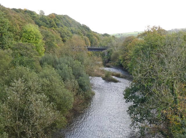
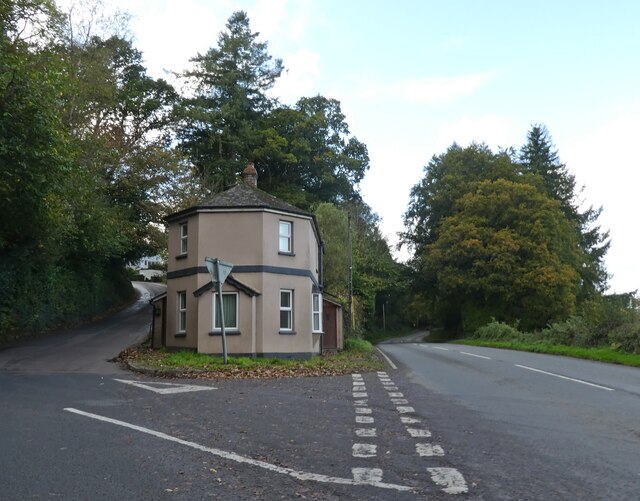
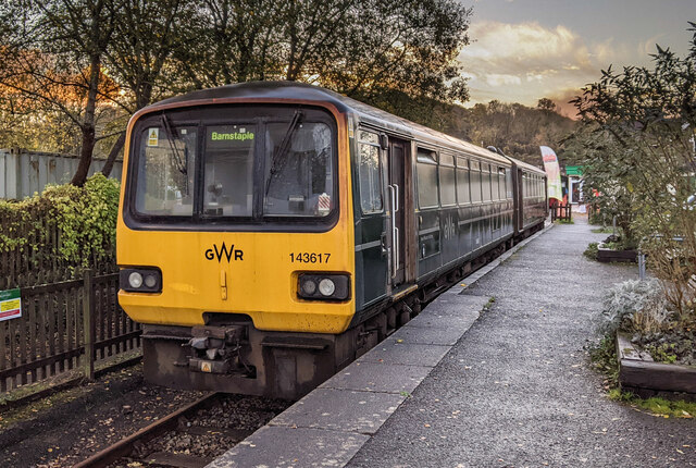
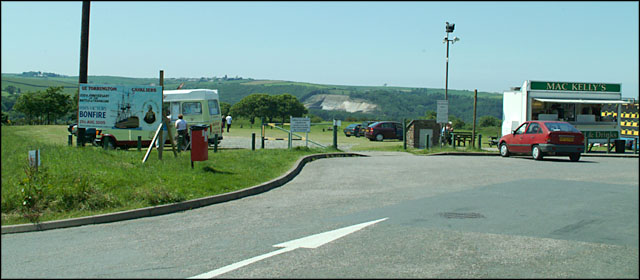
Images are sourced within 2km of 50.969858/-4.1621489 or Grid Reference SS4821. Thanks to Geograph Open Source API. All images are credited.
Van's Wood is located at Grid Ref: SS4821 (Lat: 50.969858, Lng: -4.1621489)
Administrative County: Devon
District: Torridge
Police Authority: Devon and Cornwall
What 3 Words
///copy.slime.acrobats. Near Great Torrington, Devon
Nearby Locations
Related Wikis
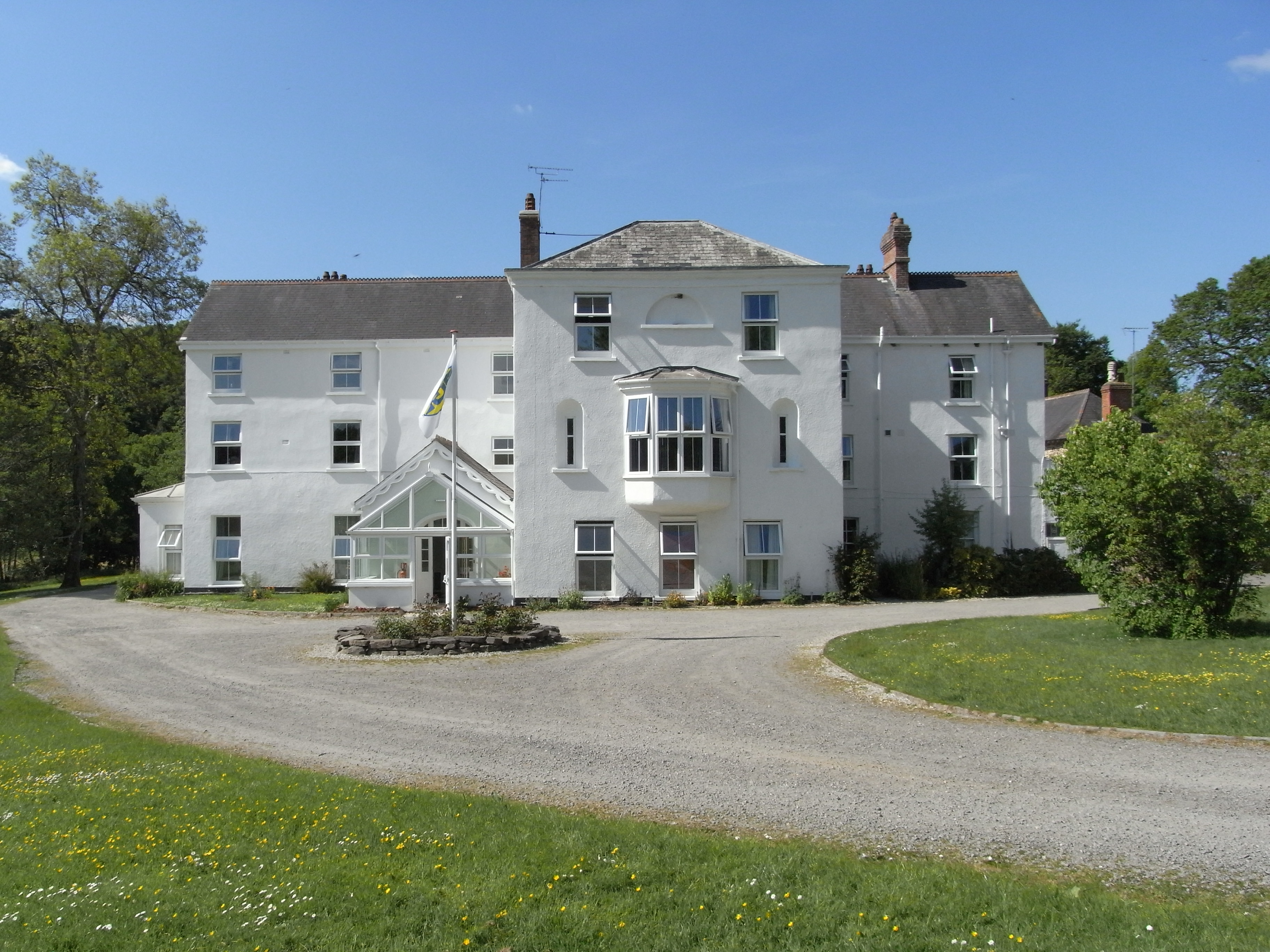
Beam, Great Torrington
Beam is an historic estate in the parish of Great Torrington, Devon, England. Beam House is situated about 1 1/2 miles north-west and downstream of that...

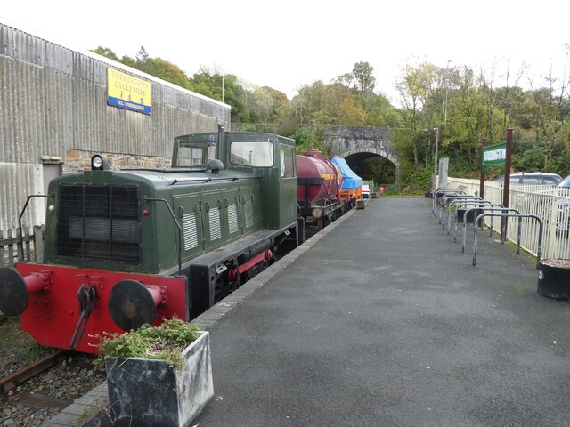
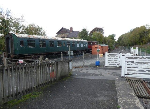
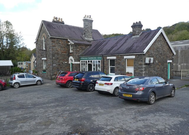
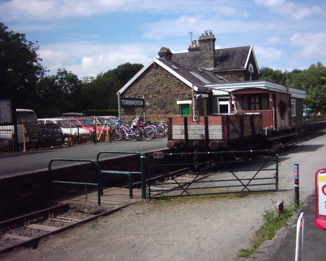
Torrington railway station
Torrington railway station was a railway station located in Great Torrington, Devon. It was closed by British Railways in 1965 as part of the Beeching...
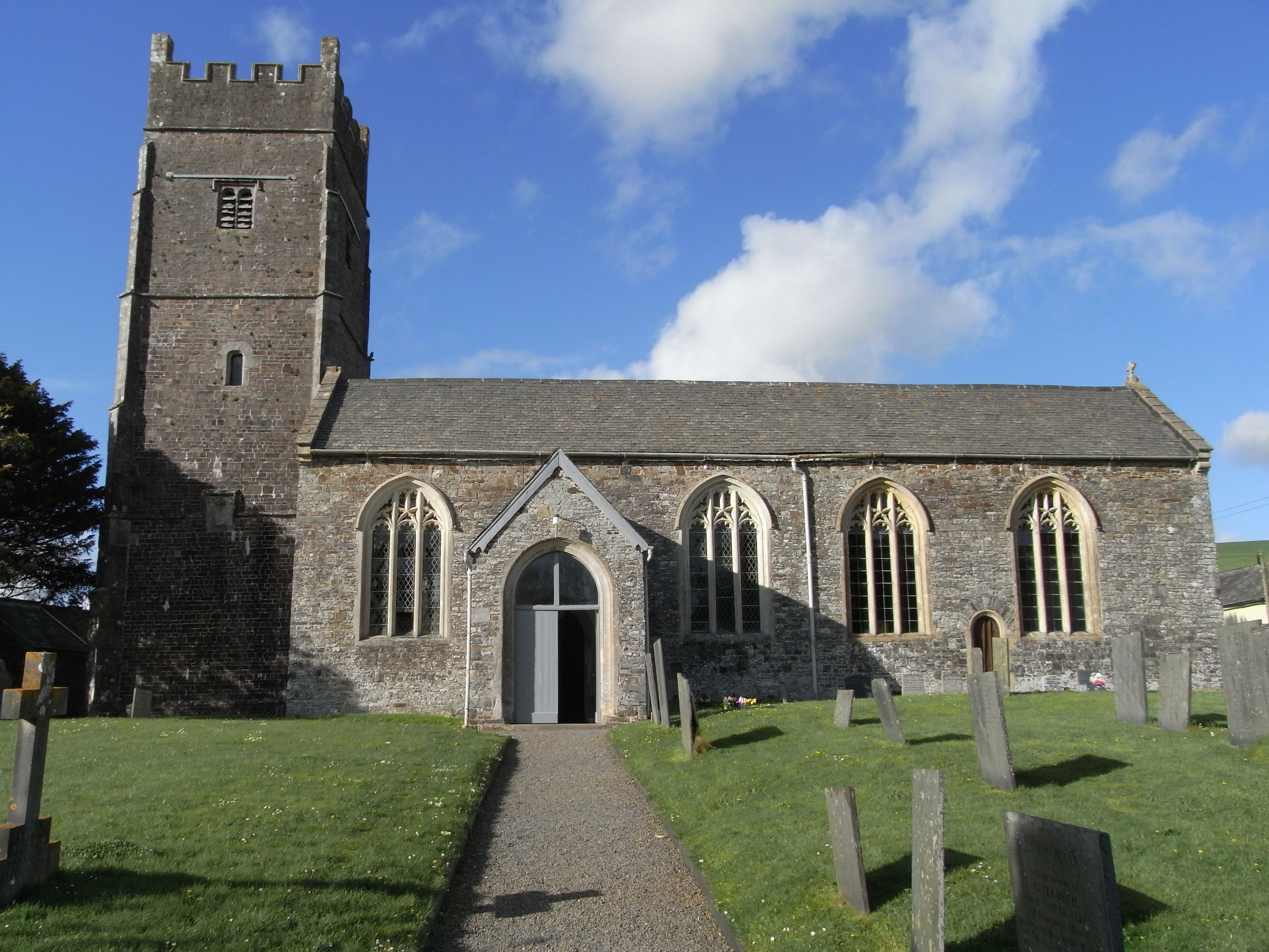
Weare Giffard
Weare Giffard is a small village, civil parish and former manor in the Torridge district, in north Devon, England. The church and manor house are situated...

Berry Castle, Huntshaw
Berry Castle is an Iron Age Hill fort in the civil parish of Huntshaw, close to Weare Giffard in Devon, England, to the north of Great Torrington. The...
Nearby Amenities
Located within 500m of 50.969858,-4.1621489Have you been to Van's Wood?
Leave your review of Van's Wood below (or comments, questions and feedback).