South Wood

Wood, Forest in Devon West Devon

England

South Wood

Farmland above the Tavy valley Farmland above Maristow and the Tavy valley.
Farmland above the Tavy valley Credit: Philip Halling

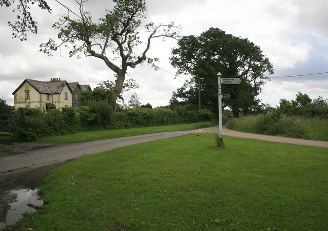
South Wood is a picturesque village located in the county of Devon, England. Nestled amidst the rolling hills and verdant landscapes, this charming village is known for its abundant woodlands and lush forests, hence its name. It is situated in close proximity to other notable towns such as Exeter and Newton Abbot.

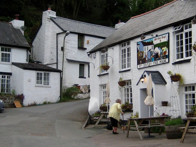
The village of South Wood is home to a small population of friendly and welcoming residents, who contribute to the warm and tight-knit community atmosphere. The village is characterized by its traditional thatched-roof cottages and delightful stone buildings, lending it a quintessentially English charm.

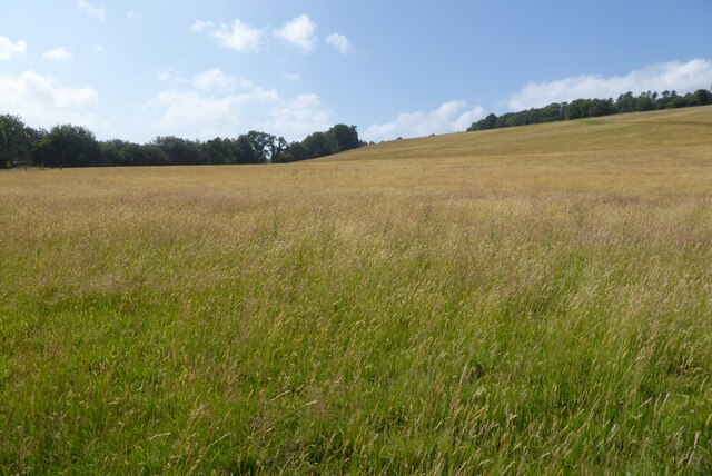
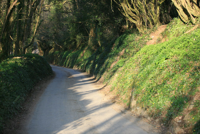
One of the standout features of South Wood is its rich natural beauty. The village is surrounded by dense woodlands and forests, offering plenty of opportunities for outdoor activities and exploration. Nature lovers and hiking enthusiasts can indulge in the numerous trails and pathways that snake through the woods, providing breathtaking views of the countryside.

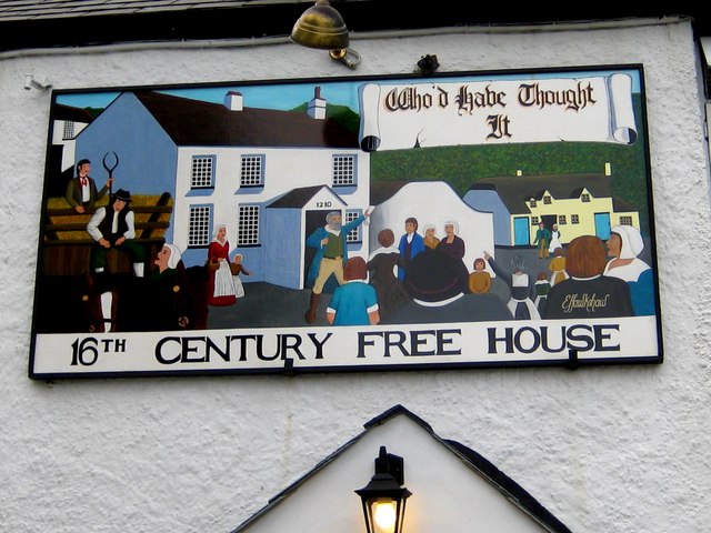
In addition to its natural allure, South Wood offers a range of amenities to cater to the needs of both residents and visitors. The village boasts a local pub, a village hall, and a primary school, creating a vibrant hub for social interaction and community events.

South Wood is also conveniently located near several popular attractions, such as Dartmoor National Park and the stunning coastline of the English Riviera. With its idyllic setting and close proximity to both nature and modern amenities, South Wood is a truly enchanting destination for those seeking a tranquil and picturesque escape in the heart of Devon.

If you have any feedback on the listing, please let us know in the comments section below.
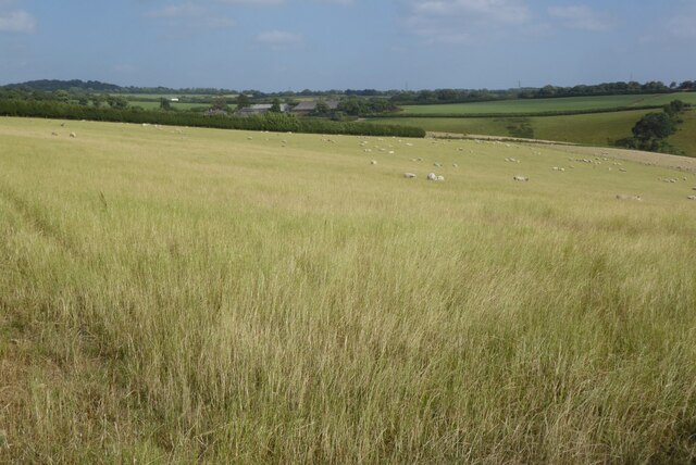
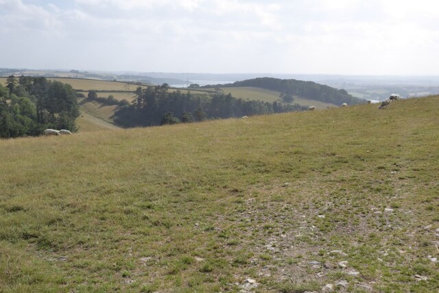
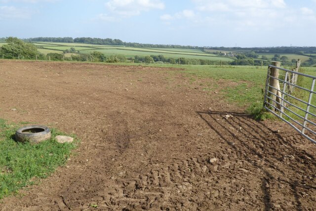
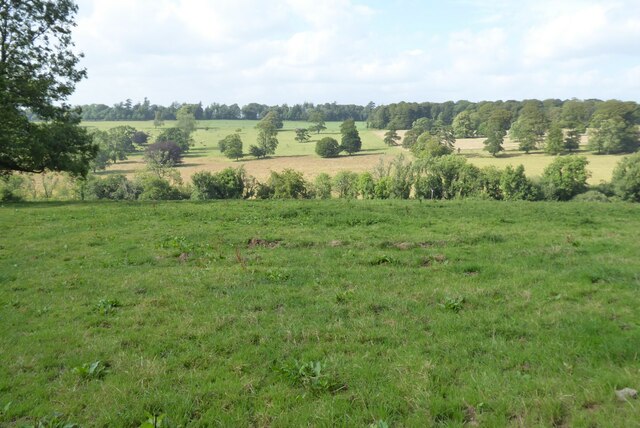
South Wood Images

Images are sourced within 2km of 50.463928/-4.14383 or Grid Reference SX4764. Thanks to Geograph Open Source API. All images are credited.

Farmland above the Tavy valley Farmland above Maristow and the Tavy valley.
Farmland above the Tavy valley
Farmland above Maristow and the Tavy valley.
View to the Tavy valley View to the Tavy valley from above Maristow.
View to the Tavy valley
View to the Tavy valley from above Maristow.
Farmland south of Common Lane A bare field entrance to a field off Common Lane.
Farmland south of Common Lane
A bare field entrance to a field off Common Lane.
View over the Bickham Estate
Grassland in the Tavy valley Grassland in the Tavy valley near Buckland Abbey.
Grassland in the Tavy valley
Grassland in the Tavy valley near Buckland Abbey.
Milton Combe Milton Combe lies at the bottom of a very steep-sided valley not far from Buckland Abbey. At the centre of the village is a 16C pub called the "Who'd Have Thought It". It would be interesting to find out how it got its name. The cottages around the pub are mostly painted white.
Milton Combe
Milton Combe lies at the bottom of a very steep-sided valley not far from Buckland Abbey. At the centre of the village is a 16C pub called the "Who'd Have Thought It". It would be interesting to find out how it got its name. The cottages around the pub are mostly painted white.
Pub sign - Milton Combe The "Who'd Have Thought It" pub sign depicts a merry village scene.
Pub sign - Milton Combe
The "Who'd Have Thought It" pub sign depicts a merry village scene.
Track to Cot Plantation, Buckland Abbey Cot Lane leads to the site of a shepherd's cot(tage).  The sign on the gate warns of the presence of a bull.
Track to Cot Plantation, Buckland Abbey
Cot Lane leads to the site of a shepherd's cot(tage). The sign on the gate warns of the presence of a bull.
Devon Lane A minor road nr Welltown bridge. despite the rural view this is not far from Roborough.
Devon Lane
A minor road nr Welltown bridge. despite the rural view this is not far from Roborough.
Milton Combe ahead Narrow lane on the approach to Milton Combe
Milton Combe ahead
Narrow lane on the approach to Milton Combe
Road Junction at Lower lodge
Signpost at Pound Cross Narrow Devon lanes
Signpost at Pound Cross
Narrow Devon lanes
No through road to Pound Narrow access road to Pound only
No through road to Pound
Narrow access road to Pound only
Estate track from Common Lane
Side valley, Welltown From the lane past Welltown, looking across a small side valley that drops to the Blaxton Creek stream. The lane continues past the tree on the right towards Pound Cross. The wood on the left is The Tor.
Side valley, Welltown
From the lane past Welltown, looking across a small side valley that drops to the Blaxton Creek stream. The lane continues past the tree on the right towards Pound Cross. The wood on the left is The Tor.
Lane to Pound Cross The lane drops fairly gently between banks. Ahead can be glimpsed the wooded slopes of the Tavy valley.
Lane to Pound Cross
The lane drops fairly gently between banks. Ahead can be glimpsed the wooded slopes of the Tavy valley.
Pound The farm buildings seen at a distance from the lane shown in <a href="https://www.geograph.org.uk/photo/3191903">SX4863 : Lane to Pound Cross</a>. Beyond is a view into Cornwall.
Pound
The farm buildings seen at a distance from the lane shown in SX4863 : Lane to Pound Cross. Beyond is a view into Cornwall.
Farm road to Pound From Pound Cross (<a href="https://www.geograph.org.uk/photo/84236">SX4863 : Pound Cross</a>), with trees on either side.
Farm road to Pound
From Pound Cross (SX4863 : Pound Cross), with trees on either side.
Show me another place!

South Wood is located at Grid Ref: SX4764 (Lat: 50.463928, Lng: -4.14383)

Administrative County: Devon

District: West Devon

Police Authority: Devon and Cornwall

What 3 Words

///talents.minds.rags. Near Bere Alston, Devon

Related Wikis

Lopwell

Lopwell is a site of natural beauty situated at the normal tidal limit of the River Tavy, 3 miles from north Plymouth and 7 miles from Tavistock, Devon...

River Tavy

The Tavy () is a river on Dartmoor, Devon, England. The name derives from the Brythonic root "Tam", once thought to mean 'dark' but now generally understood...

Maristow House

Maristow House in the parish of Bickleigh (formerly Tamerton Foliot), Devon, England, is a large country house set in landscaped parkland, on the River...

Milton Combe

Milton Combe is a village in Devon approximately 2 miles from Yelverton and 8 miles from the city of Plymouth. The name Milton Combe is derived from the...

Nearby Amenities

Located within 500m of 50.463928,-4.14383
Addr Housename: Maristow Barton
Lat/Long: 50.4614245/-4.147394
Fire Hydrant
Emergency: fire_hydrant
Fire Hydrant Diameter: 100
Fire Hydrant Position: lane
Fire Hydrant Type: underground
Survey Date: 2024-02-17
Lat/Long: 50.4612301/-4.1472437
The data included in this document is from www.openstreetmap.org. The data is made available under ODbL.

Have you been to South Wood?

Leave your review of South Wood below (or comments, questions and feedback).