Dinwood Plantation
Wood, Forest in Devon South Hams
England
Dinwood Plantation
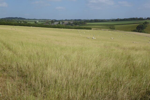
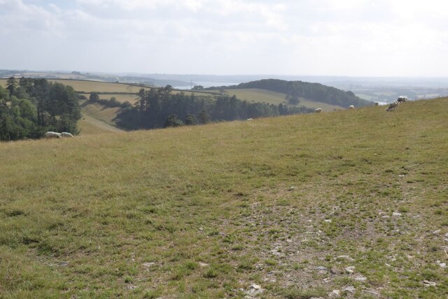
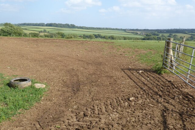
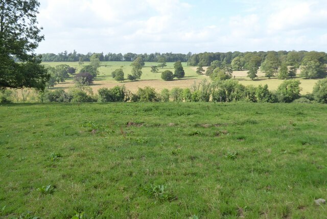
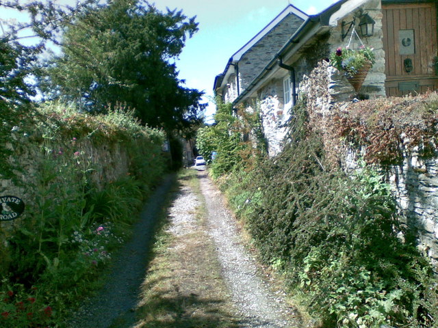
Dinwood Plantation, nestled in the picturesque county of Devon, England, is a sprawling woodland retreat known for its enchanting beauty and abundant natural treasures. Covering a vast expanse of land, this idyllic plantation is a haven for nature lovers and outdoor enthusiasts alike.
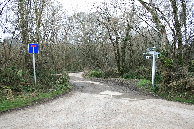
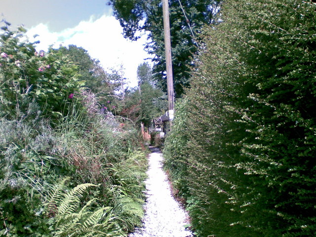
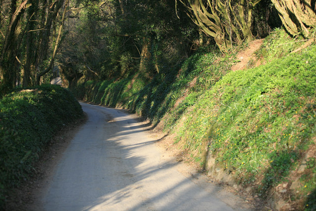
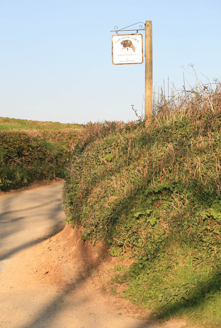
The plantation boasts an impressive array of diverse flora and fauna, with its ancient woodland being home to numerous species of trees, including oak, beech, and chestnut. The dense forest canopy provides a tranquil sanctuary for a wide range of wildlife, including deer, foxes, and a variety of bird species. Visitors can embark on peaceful walks along the well-maintained trails, immersing themselves in the serenity of the woodlands and experiencing the soothing sounds of nature.
One of the highlights of Dinwood Plantation is its breathtaking bluebell display, which takes place during springtime. As the woodland floor is carpeted with a sea of vibrant blue flowers, the plantation becomes a popular destination for photographers and nature enthusiasts seeking to capture the beauty of this natural spectacle.
For those seeking more adventurous activities, the plantation offers opportunities for mountain biking, horseback riding, and even camping. The network of trails and bridleways crisscrossing the woodlands ensures that visitors can explore the plantation at their own pace, taking in the stunning vistas and immersing themselves in the tranquil atmosphere.
With its untouched beauty and abundant wildlife, Dinwood Plantation in Devon is a true haven for nature lovers, providing an unforgettable experience for all who venture into its enchanting embrace.
If you have any feedback on the listing, please let us know in the comments section below.
Dinwood Plantation Images
Images are sourced within 2km of 50.454286/-4.1442957 or Grid Reference SX4763. Thanks to Geograph Open Source API. All images are credited.


Dinwood Plantation is located at Grid Ref: SX4763 (Lat: 50.454286, Lng: -4.1442957)
Administrative County: Devon
District: South Hams
Police Authority: Devon and Cornwall
What 3 Words
///wire.spends.former. Near Bere Alston, Devon
Nearby Locations
Related Wikis

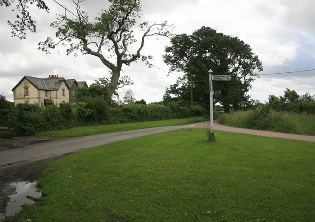
Maristow House
Maristow House in the parish of Bickleigh (formerly Tamerton Foliot), Devon, England, is a large country house set in landscaped parkland, on the River...

Lopwell
Lopwell is a site of natural beauty situated at the normal tidal limit of the River Tavy, 3 miles from north Plymouth and 7 miles from Tavistock, Devon...

River Tavy
The Tavy () is a river on Dartmoor, Devon, England. The name derives from the Brythonic root "Tam", once thought to mean 'dark' but now generally understood...
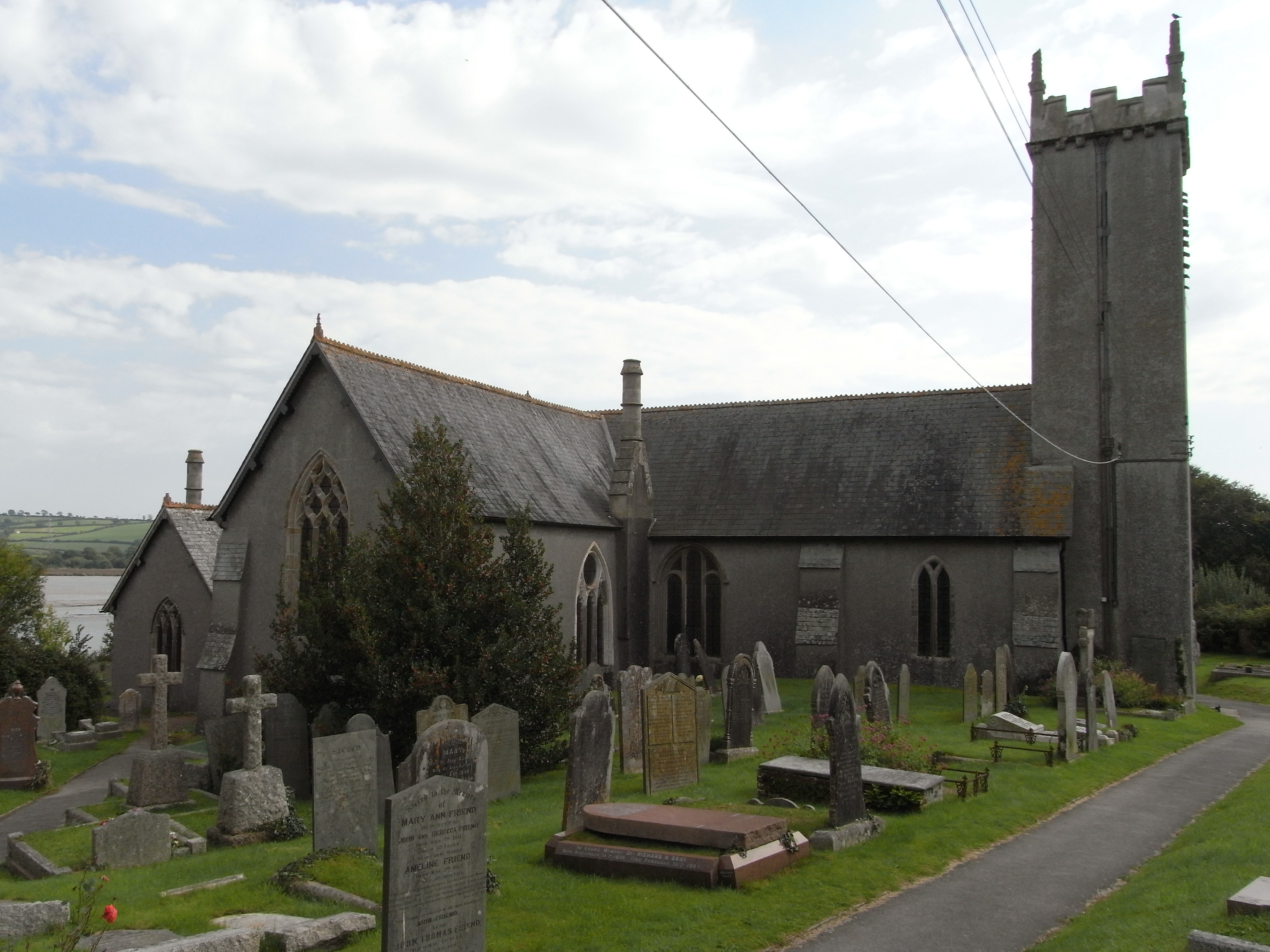
St Andrew's Church, Bere Ferrers
St Andrew's Church in Bere Ferrers, Devon, is a parish church in the Church of England The church contains the oldest stained-glass window in Devon (excluding...
Have you been to Dinwood Plantation?
Leave your review of Dinwood Plantation below (or comments, questions and feedback).