Chesil
Settlement in Dorset
England
Chesil
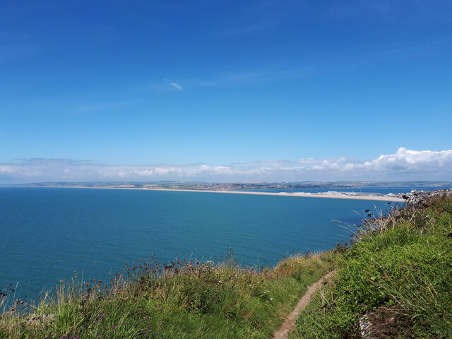
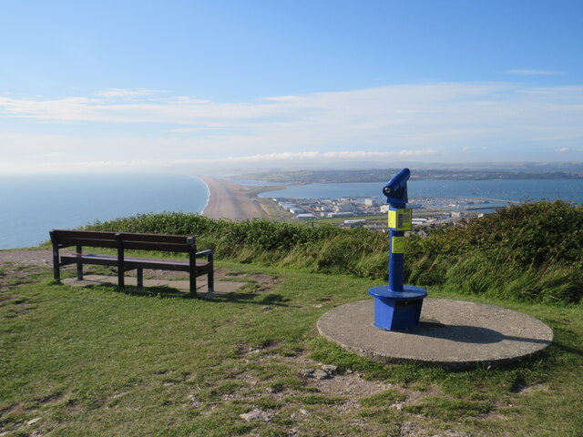
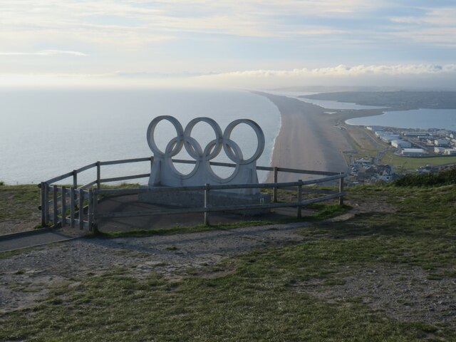
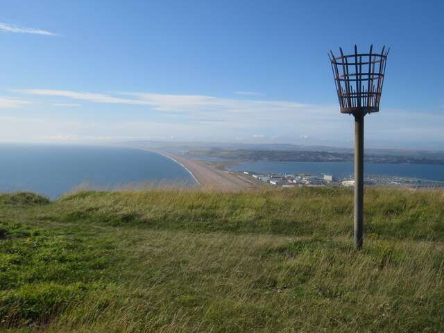
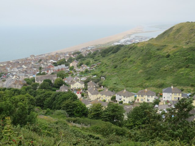
Chesil is a small village located in the county of Dorset, England. Situated on the south coast of the county, it is nestled between the towns of Weymouth and Bridport. The village is most famous for its stunning natural feature, Chesil Beach, which stretches for 18 miles along the Jurassic Coastline.
Chesil Beach is a shingle barrier beach, unique in its formation and beauty. The beach is made up of millions of pebbles, which gradually increase in size as you travel from west to east. This phenomenon is known as "graded bedding" and is a result of the powerful currents and tides in the English Channel.
The beach not only provides a picturesque setting for visitors, but it also offers a range of recreational activities. Fishing is a popular pastime, with anglers attracted to the abundance of sea bass, mackerel, and cod in the waters. Additionally, the beach is a haven for birdwatchers, as many species of seabirds can be spotted along the shoreline.
In the heart of Chesil village, there are a few quaint cottages, a local pub, and a small cafe. The village exudes a peaceful and charming atmosphere, making it an ideal destination for those seeking a tranquil coastal retreat. Visitors can enjoy leisurely walks along the beach, exploring the nearby nature reserves, or simply relaxing and taking in the breathtaking views of the Jurassic Coastline.
Overall, Chesil in Dorset offers a unique blend of natural beauty, tranquility, and recreational opportunities, making it a must-visit destination for nature lovers and those seeking a peaceful coastal getaway.
If you have any feedback on the listing, please let us know in the comments section below.
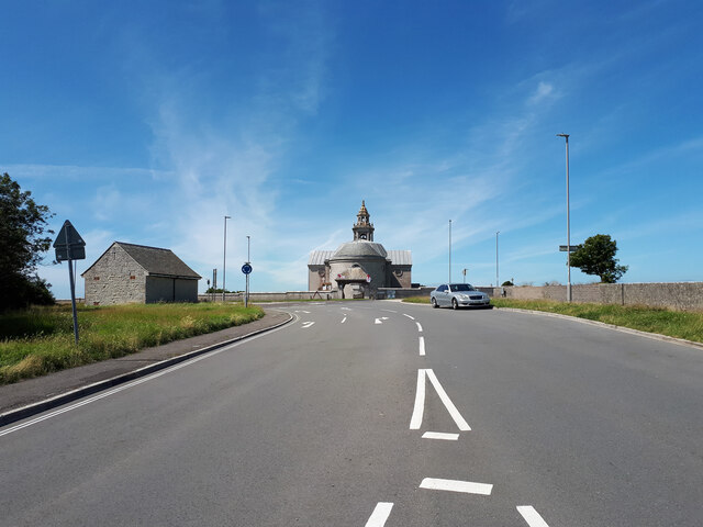
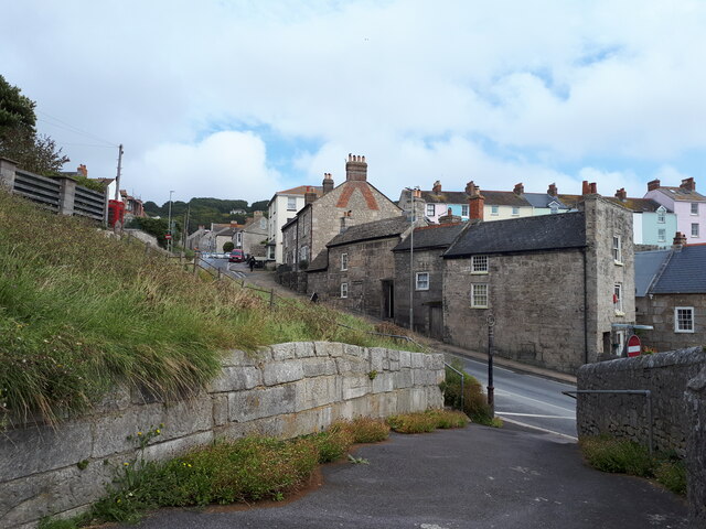
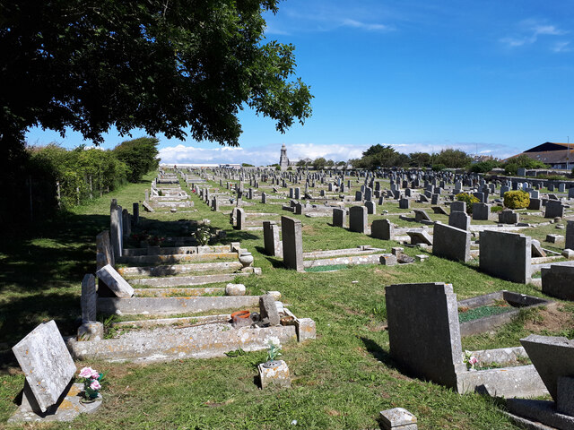
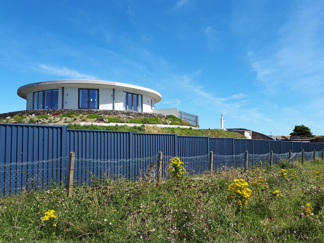
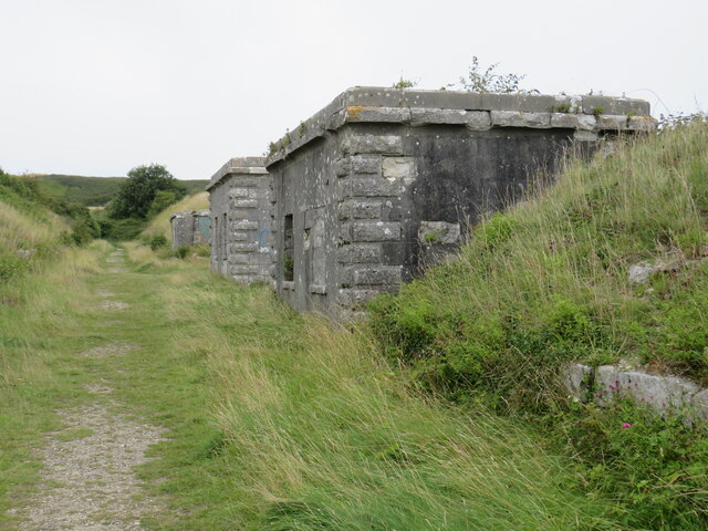
Chesil Images
Images are sourced within 2km of 50.555874/-2.4530855 or Grid Reference SY6873. Thanks to Geograph Open Source API. All images are credited.


Chesil is located at Grid Ref: SY6873 (Lat: 50.555874, Lng: -2.4530855)
Unitary Authority: Dorset
Police Authority: Dorset
What 3 Words
///efficient.lushly.silence. Near Fortuneswell, Dorset
Nearby Locations
Related Wikis
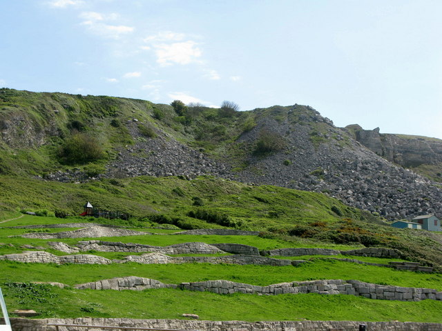
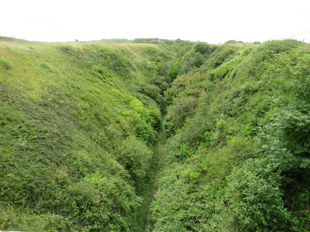
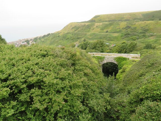
Chiswell Earthworks
Chiswell Earthworks is a land sculpture, located on the Isle of Portland, Dorset, England. It is found above Chesil Beach's most southerly part Chesil...

Chesil Cove
Chesil Cove is a curved steep bank forming the south-east end of 29-kilometre (18 mi) Chesil Beach in Dorset, England. It is thus part of one of three...

Tar Rocks
Tar Rocks are coastal rocks on the west side of the Isle of Portland, Dorset, England. The rocks become mostly covered at high tide. == See also == List...
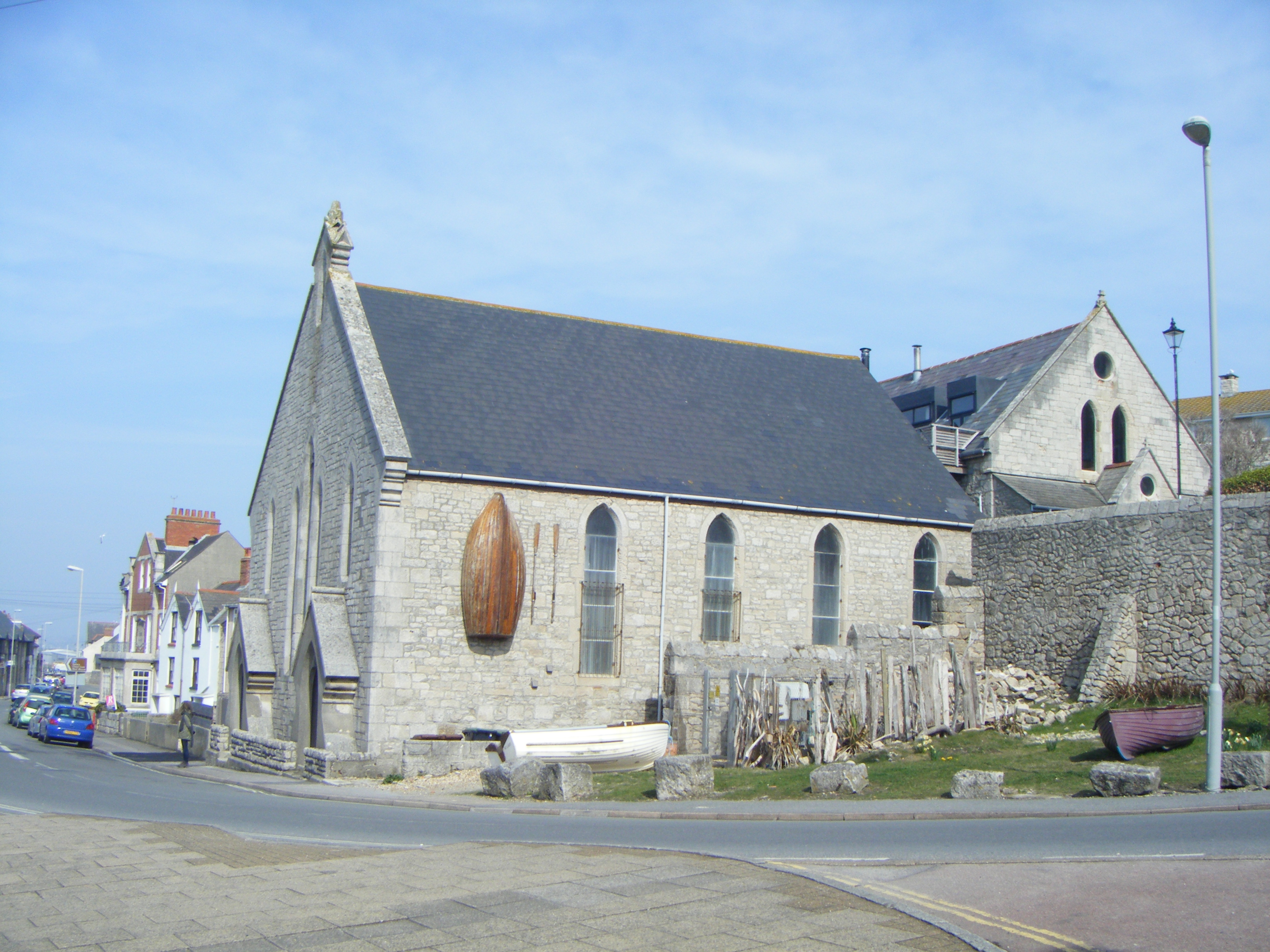
United Reformed Church, Portland
The United Reformed Church is a former United Reformed Church in Chiswell, on the Isle of Portland, Dorset, England. It was founded in 1825 and closed...
Nearby Amenities
Located within 500m of 50.555874,-2.4530855Have you been to Chesil?
Leave your review of Chesil below (or comments, questions and feedback).