Maddacleave Wood

Wood, Forest in Devon West Devon

England

Maddacleave Wood

Benchmark on a Milestone, B3257 at Orestocks On the West face of the milestone.
The context view shows <a href="https://www.geograph.org.uk/photo/6102223">SX4669 : Old Guide Stone by the B3257 at Orestocks</a>.
Benchmark on a Milestone, B3257 at Orestocks Credit: Sheron Vowden

Maddacleave Wood is a picturesque woodland located in Devon, England. Situated near the village of Maddacleave, it covers an area of approximately 100 acres and is a popular spot for nature enthusiasts and hikers alike.

The wood is predominantly made up of native broadleaf trees, including oak, beech, and ash, creating a diverse and vibrant ecosystem. The dense canopy provides a sheltered habitat for a variety of wildlife, including deer, foxes, and numerous species of birds.

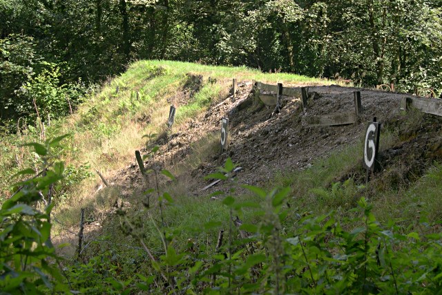
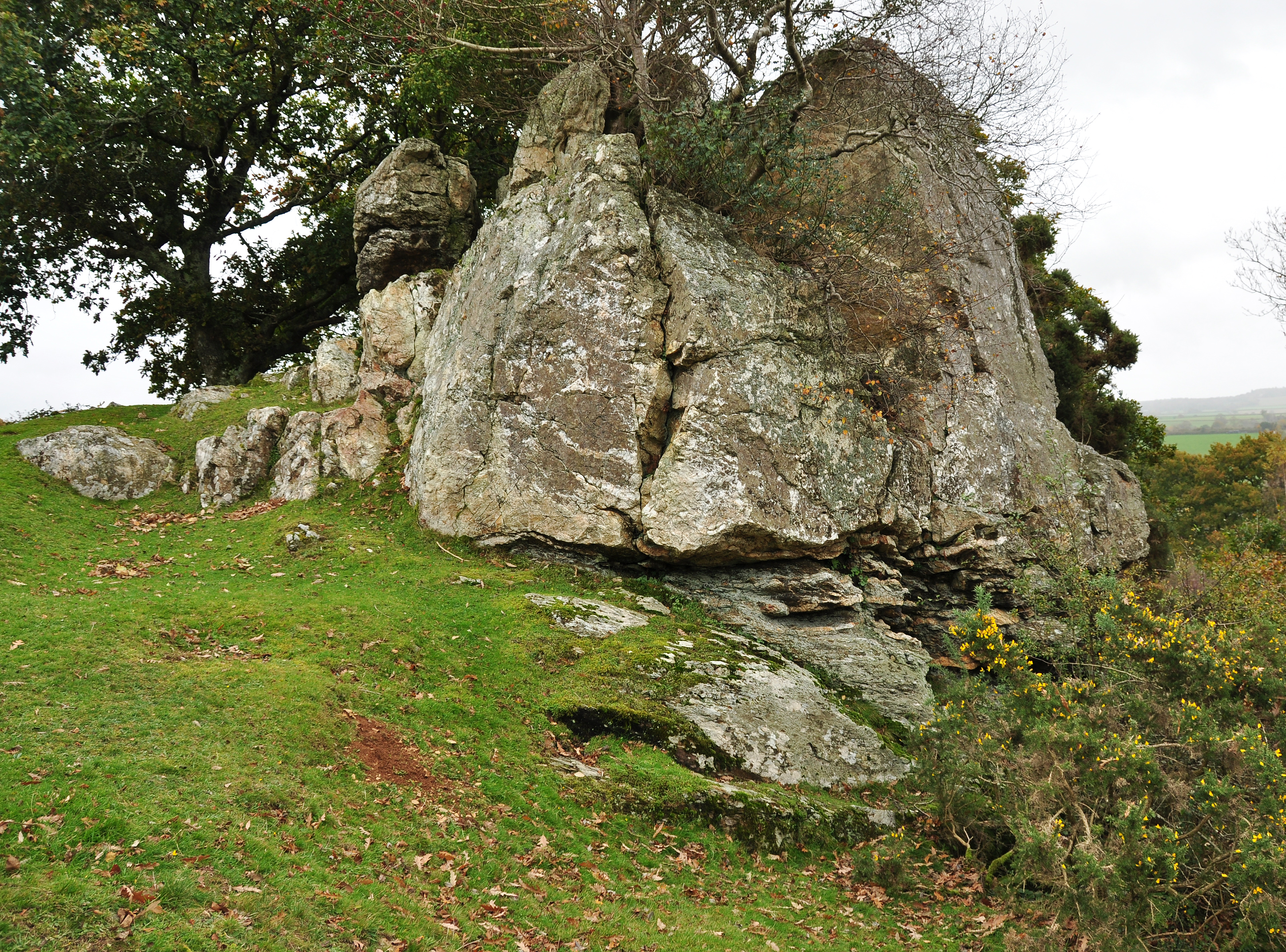
A network of well-maintained walking trails crisscrosses the wood, allowing visitors to explore its natural beauty. The trails range from easy, leisurely strolls to more challenging hikes, catering to all levels of fitness and ability. Along these paths, one can discover stunning viewpoints, tranquil streams, and even the remnants of an ancient stone circle, adding an air of mystery to the woodland.

In the spring, Maddacleave Wood comes alive with a riot of color as wildflowers carpet the forest floor. Bluebells, primroses, and wood anemones create a breathtaking display, attracting photographers and nature lovers from far and wide.

The wood is managed by a local conservation organization, which ensures the preservation of its natural beauty and the protection of its inhabitants. They also organize guided walks and educational programs, allowing visitors to learn more about the woodland's history and ecology.

Maddacleave Wood is a hidden gem in the heart of Devon, offering a peaceful retreat from the hustle and bustle of everyday life. Its idyllic surroundings and rich biodiversity make it a must-visit destination for anyone seeking solace in nature.

If you have any feedback on the listing, please let us know in the comments section below.

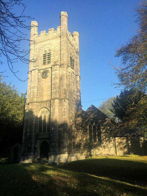
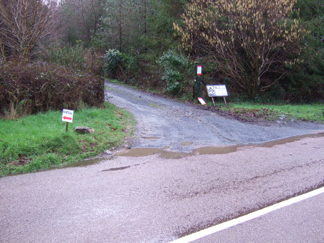
Maddacleave Wood Images

Images are sourced within 2km of 50.504697/-4.1797494 or Grid Reference SX4569. Thanks to Geograph Open Source API. All images are credited.

Benchmark on a Milestone, B3257 at Orestocks On the West face of the milestone.
The context view shows <a href="https://www.geograph.org.uk/photo/6102223">SX4669 : Old Guide Stone by the B3257 at Orestocks</a>.
Benchmark on a Milestone, B3257 at Orestocks
On the West face of the milestone. The context view shows SX4669 : Old Guide Stone by the B3257 at Orestocks.
St Andrew's Church
St Andrew's Church
Old Guide Stone by the B3257 at Orestocks Granite guidestone post by the B3257, in parish of Gulworthy (West Devon District), Orestocks where road branches to Broadwell, on grass verge, close to tall beech hedge.

Inscription reads:-
: MILTON / ABBOT / 8 / MILES : : BEER / FERRIS / 2½ / MILES : : TO / TAVI / STOCK / 3½ / MILES :
Carved benchmark on face.

Grade II listed.
List Entry Number: 1305164 <span class="nowrap"><a title="https://historicengland.org.uk/listing/the-list/list-entry/1305164" rel="nofollow ugc noopener" href="https://historicengland.org.uk/listing/the-list/list-entry/1305164">Link</a><img style="margin-left:2px;" alt="External link" title="External link - shift click to open in new window" src="https://s1.geograph.org.uk/img/external.png" width="10" height="10"/></span>

Surveyed

Milestone Society National ID: DV_XGUL05
Old Guide Stone by the B3257 at Orestocks
Granite guidestone post by the B3257, in parish of Gulworthy (West Devon District), Orestocks where road branches to Broadwell, on grass verge, close to tall beech hedge. Inscription reads:- : MILTON / ABBOT / 8 / MILES : : BEER / FERRIS / 2½ / MILES : : TO / TAVI / STOCK / 3½ / MILES : Carved benchmark on face. Grade II listed. List Entry Number: 1305164 LinkExternal link Surveyed Milestone Society National ID: DV_XGUL05
The Tavy Valley This photograph was taken from the south west corner of this grid square and looks out north-eastward over the Tavy Valley.  The hills of Dartmoor can be seen in the distance.
The Tavy Valley
This photograph was taken from the south west corner of this grid square and looks out north-eastward over the Tavy Valley. The hills of Dartmoor can be seen in the distance.
The River Tavy Near Particliffe Wood
The River Tavy
Near Particliffe Wood
Disused railway  tunnel entrance Trackbed and tunnel south entrance near Hartshole Farm, Morwelldown, taken 1977
Disused railway tunnel entrance
Trackbed and tunnel south entrance near Hartshole Farm, Morwelldown, taken 1977
A Forgotten Lane Marked on the map simply as "other route with public access" this lane, with a solid wall at its side, has been largely abandoned to the overgrowing trees and bushes.
A Forgotten Lane
Marked on the map simply as "other route with public access" this lane, with a solid wall at its side, has been largely abandoned to the overgrowing trees and bushes.
Rifle Range Targets On the other side of this wall is a sloping grass bank.  This row of iron machines are used to raise targets above the wall into the sights of the shooters.  It looks disused now but I cannot be sure.
Rifle Range Targets
On the other side of this wall is a sloping grass bank. This row of iron machines are used to raise targets above the wall into the sights of the shooters. It looks disused now but I cannot be sure.
Rifle Range Targets: front side
Top Morwell Farm The farm at the road junction near Morwellham
Top Morwell Farm
The farm at the road junction near Morwellham
Top Morwell Farm Buildings The modern buildings at Top Morwell.
Top Morwell Farm Buildings
The modern buildings at Top Morwell.
Morwell Wood Morwell wood and countryside.
Morwell Wood
Morwell wood and countryside.
The Rock Houses on the road junction at The Rock.
The Rock
Houses on the road junction at The Rock.
The Rock Crossroads This is a very busy road junction when Morwellham Museums are open.
The Rock Crossroads
This is a very busy road junction when Morwellham Museums are open.
Morwelldown Plantation The field in front of Morwelldown Plantation.
Morwelldown Plantation
The field in front of Morwelldown Plantation.
Entrance to Morwelldown Plantation This claims to be the Devon Paintball Centre.
Entrance to Morwelldown Plantation
This claims to be the Devon Paintball Centre.
Sharp bend in the river Looking eastwards towards Morwell Wood as the river makes a sharp right below the near-vertical cliffs.
Sharp bend in the river
Looking eastwards towards Morwell Wood as the river makes a sharp right below the near-vertical cliffs.
A Rock on the Hillside Looking out from the bridleway to Double Waters over the steeply wooded valley of the River Tavy.
A Rock on the Hillside
Looking out from the bridleway to Double Waters over the steeply wooded valley of the River Tavy.
Show me another place!

Maddacleave Wood is located at Grid Ref: SX4569 (Lat: 50.504697, Lng: -4.1797494)

Administrative County: Devon

District: West Devon

Police Authority: Devon and Cornwall

What 3 Words

///studio.vaulting.kilowatt. Near Bere Alston, Devon

Nearby Locations

Maddacleave Wood

Related Wikis

New Quay (Devon)

New Quay is a small once industrial abandoned hamlet and intensive mining port on the steep, winding banks of the River Tamar in Devon. New Quay village...

Morwellham Quay

Morwellham Quay is an historic river port in Devon, England that developed to support the local mines. The port had its peak in the Victorian era and is...

Calstock Rural District

Calstock Rural District was a local government division of Cornwall in England, UK, between 1894 and 1934. Established under the Local Government Act 1894...

Berra Tor

Berra Tor (grid reference SX553679) is a granite tor on the south western edge of Dartmoor. It is only 132 metres above sea level so is one of the lowest...

Nearby Amenities

Located within 500m of 50.504697,-4.1797494
Source: PGS
Lat/Long: 50.5008509/-4.1813614
Parking
Addr Housename: Madacleave Car Park
Lat/Long: 50.5063699/-4.1751729
The data included in this document is from www.openstreetmap.org. The data is made available under ODbL.

Have you been to Maddacleave Wood?

Leave your review of Maddacleave Wood below (or comments, questions and feedback).