South Cleave Wood

Wood, Forest in Devon Torridge

England

South Cleave Wood

Turning for Buckland Brewer
Turning for Buckland Brewer Credit: Alex McGregor

South Cleave Wood is a picturesque woodland located in the county of Devon, England. Covering an area of approximately 100 acres, it is nestled in the heart of the beautiful countryside, making it a popular destination for nature enthusiasts and hikers alike.

The wood is characterized by its diverse range of tree species, including oak, beech, and ash, which create a dense canopy that provides a serene and tranquil atmosphere. The forest floor is blanketed with a rich carpet of wildflowers, adding to its natural beauty.

South Cleave Wood is home to a variety of wildlife, making it an ideal spot for birdwatching and animal spotting. Visitors may catch a glimpse of deer, squirrels, and a variety of bird species, including woodpeckers and owls.

The woodland is crisscrossed by a network of well-maintained footpaths, allowing visitors to explore its hidden gems. Along these paths, visitors can discover babbling brooks, small ponds, and ancient stone walls. These features contribute to the wood's enchanting charm and make it a perfect place for a leisurely stroll or family picnic.

South Cleave Wood is open to the public year-round, and there are no entrance fees. It offers ample parking facilities and is easily accessible by both car and public transport. The wood is managed by the local authorities, who ensure its conservation and preservation, making it a beloved destination for both locals and tourists seeking a peaceful retreat in the heart of Devon.

If you have any feedback on the listing, please let us know in the comments section below.

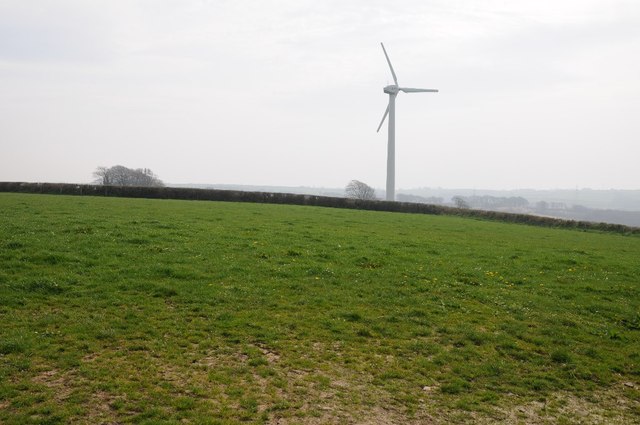
South Cleave Wood Images

Images are sourced within 2km of 50.957553/-4.2441834 or Grid Reference SS4219. Thanks to Geograph Open Source API. All images are credited.

Turning for Buckland Brewer
Farmland above the Duntz valley An electricity pylon in a field above the Duntz valley near Buckland Brewer.
Farmland above the Duntz valley
An electricity pylon in a field above the Duntz valley near Buckland Brewer.
View to Buckland Brewer View from the south-east across farmland to the village of Buckland Brewer.
View to Buckland Brewer
View from the south-east across farmland to the village of Buckland Brewer.
Wind turbine near Buckland Brewer Wind turbine and farmland near Buckland Brewer.
Wind turbine near Buckland Brewer
Wind turbine and farmland near Buckland Brewer.
Field entrance Field gateway and entrance off a road near Buckland Brewer.
Field entrance
Field gateway and entrance off a road near Buckland Brewer.
Lydeland Water valley A steep country road descending into the Lydeland Water valley.
Lydeland Water valley
A steep country road descending into the Lydeland Water valley.
Farmland near Buckland Brewer A water tank in the corner of a field; the village of Buckland Brewer can be seen in the distance.  Rough the same view as seven years earlier. <a href="https://www.geograph.org.uk/photo/700077">SS4219 : Field and valleys near Buckland Brewer</a>
Farmland near Buckland Brewer
A water tank in the corner of a field; the village of Buckland Brewer can be seen in the distance. Rough the same view as seven years earlier. SS4219 : Field and valleys near Buckland Brewer
Valley near Tythecott Mill Bridge Farmland in the valley near Tythecott Mill Bridge.
Valley near Tythecott Mill Bridge
Farmland in the valley near Tythecott Mill Bridge.
Windblown Trees Typical for this area - small track leading back to Frithelstock Stone to the east.
Windblown Trees
Typical for this area - small track leading back to Frithelstock Stone to the east.
Field above Buckland Wood Taken from a bank top by the lane past Putridge. Only the very edge of Buckland Wood is in SS4319. The field is sloping towards a tributary of the River Duntz.
Field above Buckland Wood
Taken from a bank top by the lane past Putridge. Only the very edge of Buckland Wood is in SS4319. The field is sloping towards a tributary of the River Duntz.
Oak and North Hele Two farms separated by a shallow valley carrying a small tributary towards the valley in <a href="https://www.geograph.org.uk/photo/692299">SS4319 : Field above Buckland Wood</a>.
Oak and North Hele
Two farms separated by a shallow valley carrying a small tributary towards the valley in SS4319 : Field above Buckland Wood.
Great Gorwood The farm is seen from the lane at Braddons Farm. Beyond on the right is Gorwood Farm, in SS4120.
Great Gorwood
The farm is seen from the lane at Braddons Farm. Beyond on the right is Gorwood Farm, in SS4120.
Lane to Craneham The moon, and two striking beeches, hang over this no through public road to Craneham, which can just be seen in the distance.
Lane to Craneham
The moon, and two striking beeches, hang over this no through public road to Craneham, which can just be seen in the distance.
Woods above Tythecott Mill Unnamed woods line this valley running down to the Lydeland Water. Seen from a sharp bend in the lane between Tythecott Mill and Buckland Brewer.
Woods above Tythecott Mill
Unnamed woods line this valley running down to the Lydeland Water. Seen from a sharp bend in the lane between Tythecott Mill and Buckland Brewer.
Trees near Tythecott Mill A line of seven trees along a track to Craneham Wood on the side of the Lydeland Water valley. Seen from the lane near Tythecott Mill Bridge.
Trees near Tythecott Mill
A line of seven trees along a track to Craneham Wood on the side of the Lydeland Water valley. Seen from the lane near Tythecott Mill Bridge.
Lydeland Water valley Tythecott Mill is hidden by trees in this view taken from roughly the same spot as <a href="https://www.geograph.org.uk/photo/692387">SS4118 : Woods above Tythecott Mill</a>, looking down a steep narrow meadow beside the lane from Buckland Brewer. The continuing lane, towards Tythecott, can be seen slanting up the far hill on the right.
Lydeland Water valley
Tythecott Mill is hidden by trees in this view taken from roughly the same spot as SS4118 : Woods above Tythecott Mill, looking down a steep narrow meadow beside the lane from Buckland Brewer. The continuing lane, towards Tythecott, can be seen slanting up the far hill on the right.
Beeches near Craneham The left hand tree also appears in <a href="https://www.geograph.org.uk/photo/692367">SS4218 : Lane to Craneham</a>. They are at the junction of the farm road to Craneham with the lane from Buckland Brewer to Tythecott and can be seen for some distance ahead as the lane drops into the Lydeland Water valley (behind the trees).
Beeches near Craneham
The left hand tree also appears in SS4218 : Lane to Craneham. They are at the junction of the farm road to Craneham with the lane from Buckland Brewer to Tythecott and can be seen for some distance ahead as the lane drops into the Lydeland Water valley (behind the trees).
Field and valleys near Buckland Brewer From the lane from Buckland Mill to North Hele, a view past a metal drinking trough and a gate along a sloping field which dips into a valley, which like the larger one beyond, drains into the River Duntz at the mill.
Field and valleys near Buckland Brewer
From the lane from Buckland Mill to North Hele, a view past a metal drinking trough and a gate along a sloping field which dips into a valley, which like the larger one beyond, drains into the River Duntz at the mill.
Show me another place!

South Cleave Wood is located at Grid Ref: SS4219 (Lat: 50.957553, Lng: -4.2441834)

Administrative County: Devon

District: Torridge

Police Authority: Devon and Cornwall

What 3 Words

///dimension.breathing.tactical. Near Bideford, Devon

Related Wikis

Buckland Brewer

Buckland Brewer is a village and civil parish in the Torridge district of Devon, England, 4.7 miles south of Bideford. Historically the parish formed...

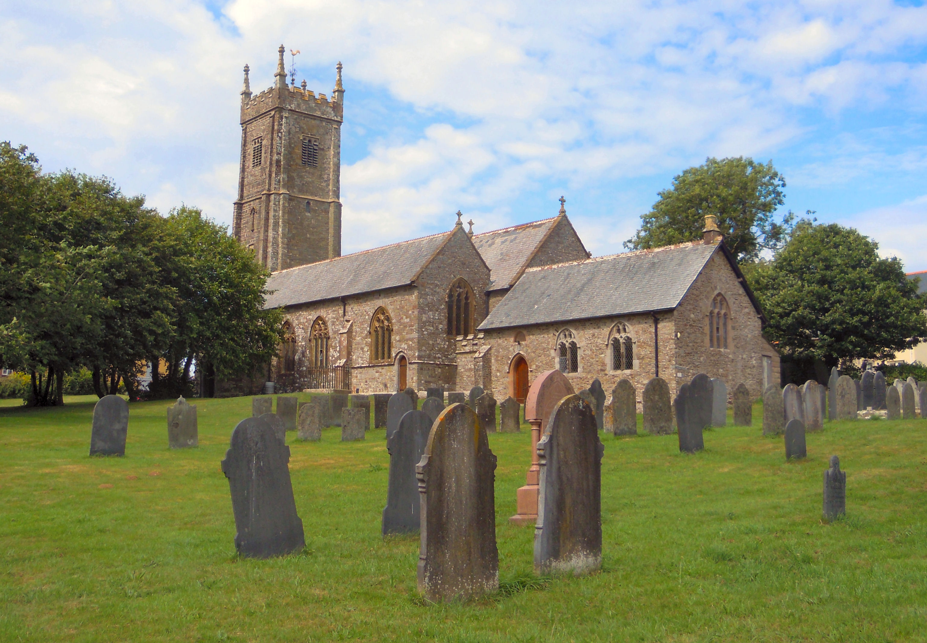
Church of St Mary and St Benedict, Buckland Brewer

St Mary and St Benedict is the Church of England parish church for the village of Buckland Brewer near Bideford in North Devon. It is part of the benefice...

Hembury Castle, Tythecott

Hembury Castle is an Iron Age Hill fort situated close to Tythecott, south of Buckland Brewer in Devon. The fort is situated on a promontory off the East...
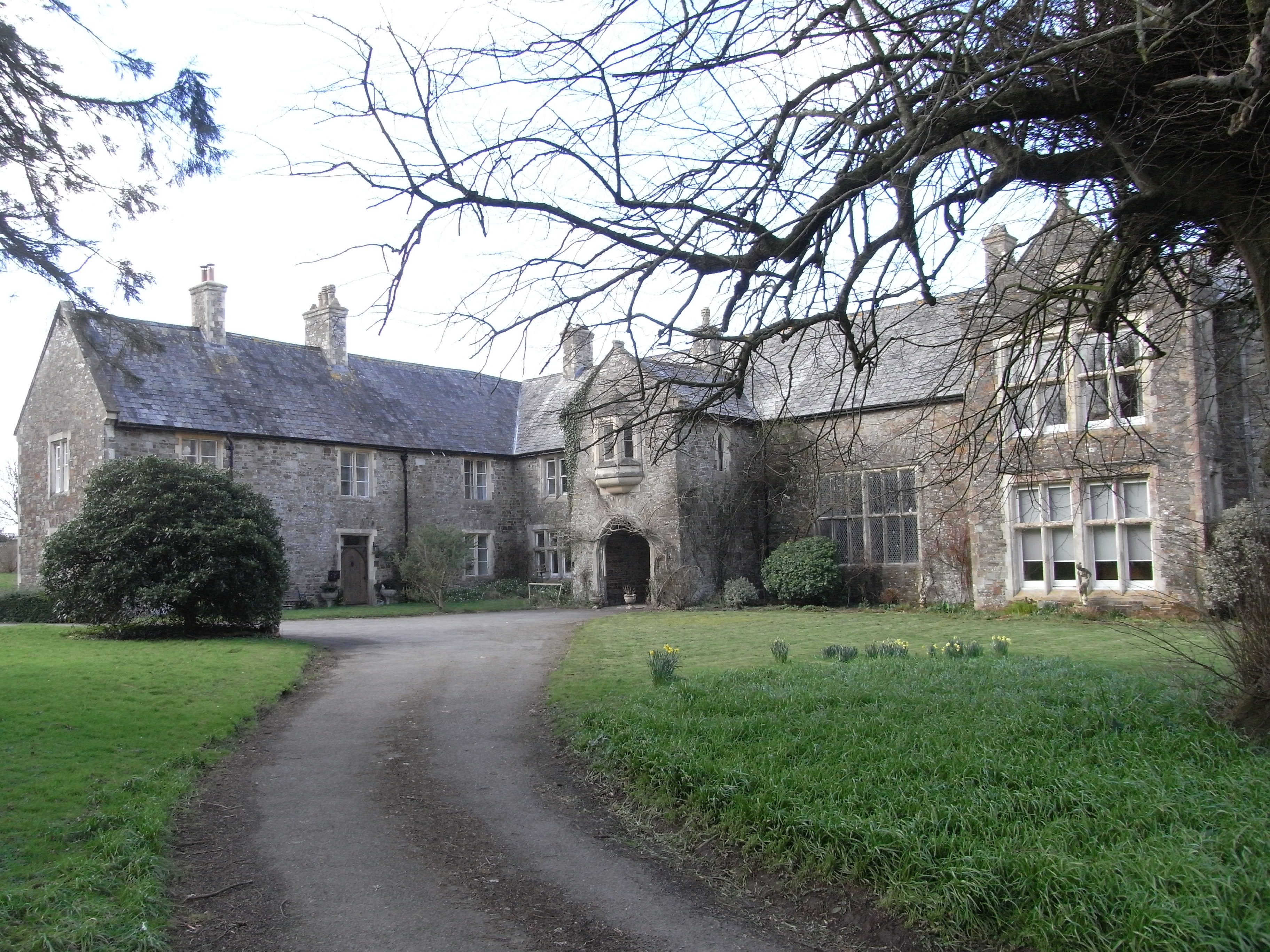
Orleigh Court

Orleigh Court is a late medieval manor house in the parish of Buckland Brewer about 4 miles (6.4 km) south-west of Bideford, North Devon, England. It is...

Have you been to South Cleave Wood?

Leave your review of South Cleave Wood below (or comments, questions and feedback).