Down Coppice

Wood, Forest in Devon Torridge

England

Down Coppice

Middle Quoditch Devon Cottage Small Devon hamlet on the road towards Hallwil
Middle Quoditch Devon Cottage Credit: roger geach

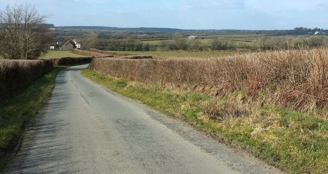
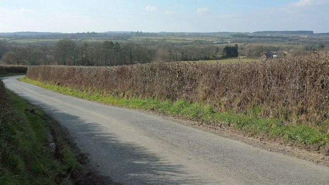
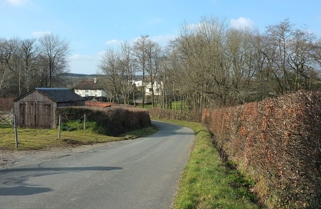
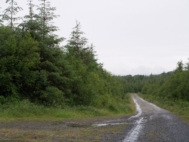
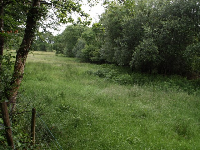
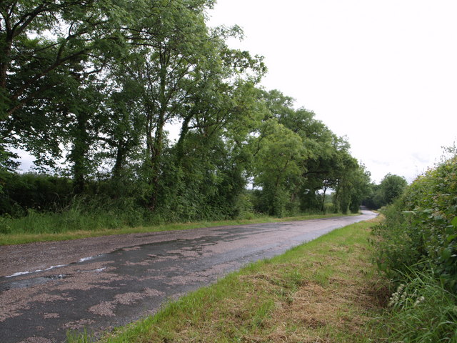
Down Coppice is a charming woodland located in Devon, England. Situated in the southwestern part of the country, it covers an area of approximately 50 acres. This picturesque forest is renowned for its natural beauty, diverse flora, and tranquil atmosphere.

The wood is predominantly made up of deciduous trees, including oak, beech, and ash, which provide a magnificent canopy during the warmer months. The forest floor is covered in a lush carpet of ferns, bluebells, and wildflowers, creating a vibrant and enchanting landscape.

Down Coppice offers an ideal habitat for a variety of wildlife species. Visitors may encounter native creatures such as deer, squirrels, badgers, and a multitude of bird species. Nature enthusiasts can explore the numerous walking trails that wind through the wood, immersing themselves in the calming ambiance and observing the diverse fauna and flora.

The woodland is also cherished for its historical significance. It is believed to have been managed as a coppice since medieval times, providing a sustainable source of timber for the local community. The traditional practice of coppicing involves cutting trees to ground level, allowing new shoots to grow and providing a continuous supply of wood.

Down Coppice is a popular destination for outdoor enthusiasts, hikers, and nature lovers seeking solace in a serene and unspoiled environment. With its rich biodiversity, captivating scenery, and historical significance, it is a true gem nestled in the heart of Devon.

If you have any feedback on the listing, please let us know in the comments section below.
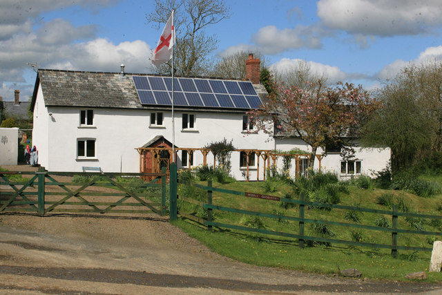
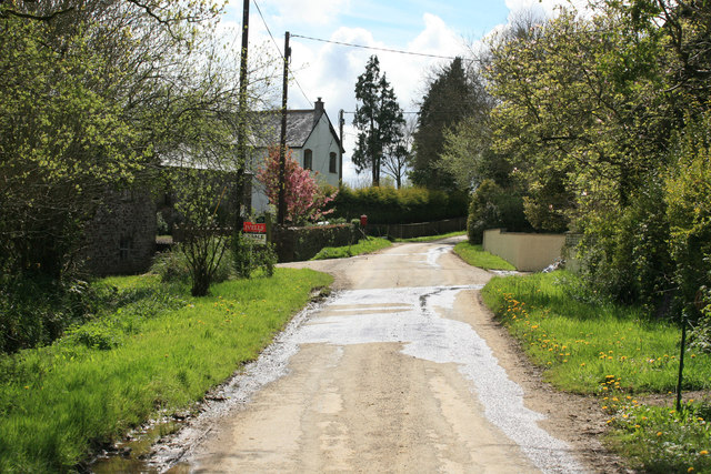
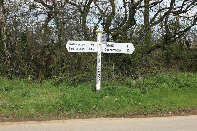
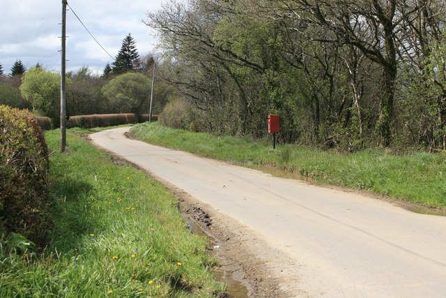
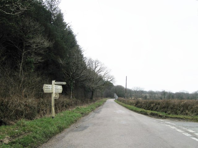
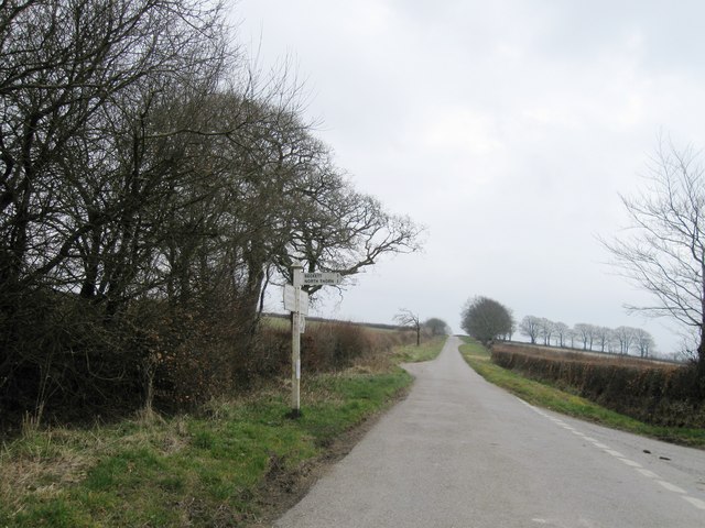
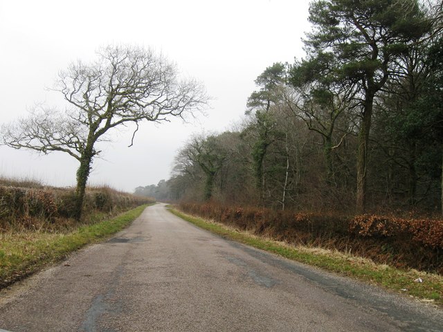
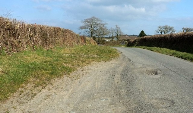
Down Coppice Images

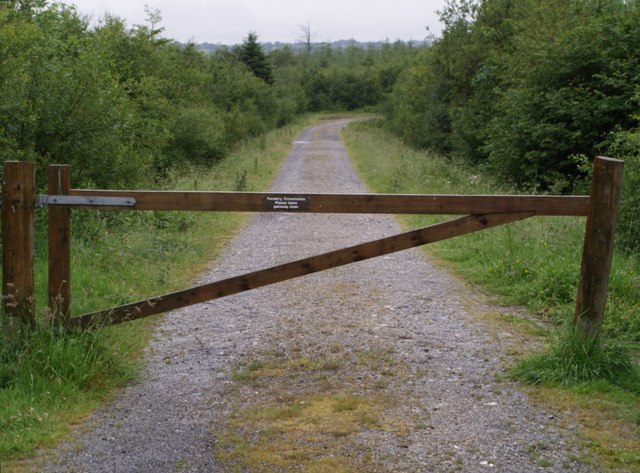
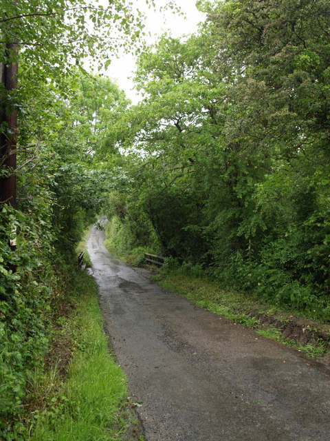
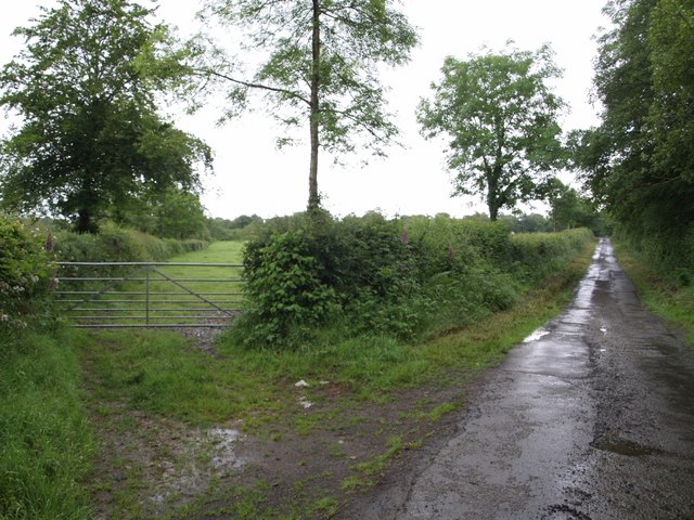
Images are sourced within 2km of 50.750847/-4.250725 or Grid Reference SX4196. Thanks to Geograph Open Source API. All images are credited.

Middle Quoditch Devon Cottage Small Devon hamlet on the road towards Hallwil
Middle Quoditch Devon Cottage
Small Devon hamlet on the road towards Hallwil
Quoditch
Quoditch
Quoditch Moor signpost
Postbox at Quoditch Moor Rural Mailbox
Postbox at Quoditch Moor
Rural Mailbox
Turning for Foxhole
Turning for Foxhole
Turning for Beckett
Turning for Beckett
Road alongside Thorn Barrow
Approaching Stowford The lane up from Halwill Mill approaches the farming hamlet.
Approaching Stowford
The lane up from Halwill Mill approaches the farming hamlet.
Lane to Halwill Mill Bending down to cross a tributary of the River Carey just past <a href="https://www.geograph.org.uk/photo/468987">SX4298 : Stowford Baptist Chapel</a>.
Lane to Halwill Mill
Bending down to cross a tributary of the River Carey just past SX4298 : Stowford Baptist Chapel.
Lane to Halwill Mill <a href="https://www.geograph.org.uk/photo/4865644">SX4298 : Lane to Halwill Mill</a> was taken further down this lane, which is descending into the Carey valley.
Lane to Halwill Mill
SX4298 : Lane to Halwill Mill was taken further down this lane, which is descending into the Carey valley.
Approaching Halwill Mill Taken beside <a href="https://www.geograph.org.uk/photo/468987">SX4298 : Stowford Baptist Chapel</a>, looking down the lane to where it crosses a tributary of the River Carey. Halwill Mill and the Mill House are on different sides of the lane on the other side.
Approaching Halwill Mill
Taken beside SX4298 : Stowford Baptist Chapel, looking down the lane to where it crosses a tributary of the River Carey. Halwill Mill and the Mill House are on different sides of the lane on the other side.
Quoditchmoor Plantations The scene at a crossroads of rides in this large area of accessible woodland. On the left is a turning circle.
Quoditchmoor Plantations
The scene at a crossroads of rides in this large area of accessible woodland. On the left is a turning circle.
Entrance to Quoditchmoor Plantations See also <a href="https://www.geograph.org.uk/photo/468718">SX4098 : Quoditchmoor Plantations</a>. This is a track leading off the lane near Quoditch Cross.
Entrance to Quoditchmoor Plantations
See also SX4098 : Quoditchmoor Plantations. This is a track leading off the lane near Quoditch Cross.
Foxhole Bridge The lane from Foxhole to Landhill crosses a tiny tributary of the River Carey.
Foxhole Bridge
The lane from Foxhole to Landhill crosses a tiny tributary of the River Carey.
Lane near Foxhole The winding lane along the River Carey valley starts to straighten out as it leaves Foxhol and begins the climb to Witherdon.
Lane near Foxhole
The winding lane along the River Carey valley starts to straighten out as it leaves Foxhol and begins the climb to Witherdon.
Field near Foxhole The laneside edge of this field looks improved, but live.com suggests that, behind the trees, the majority of it is heathland. Seen from the lane climbing from Foxhole to Witherdon.
Field near Foxhole
The laneside edge of this field looks improved, but live.com suggests that, behind the trees, the majority of it is heathland. Seen from the lane climbing from Foxhole to Witherdon.
Road on Broadbury This road crosses the high ground of Broadbury, linking the A3079 with the A388. This stretch, which crosses the corner of this square as it approaches Witherdon Wood, was photographed near Greenacres Farm.
Road on Broadbury
This road crosses the high ground of Broadbury, linking the A3079 with the A388. This stretch, which crosses the corner of this square as it approaches Witherdon Wood, was photographed near Greenacres Farm.
Stowford A view of the hamlet looking down the hill from the entrance to the access woodlands at Westlake's Plantations. Stowford lies between two small tributaries of the River Carey. A not uncommon placename in Devon: "holy place by a ford", though the nearest place of worship is now a kilometre away.
Stowford
A view of the hamlet looking down the hill from the entrance to the access woodlands at Westlake's Plantations. Stowford lies between two small tributaries of the River Carey. A not uncommon placename in Devon: "holy place by a ford", though the nearest place of worship is now a kilometre away.
Show me another place!

Down Coppice is located at Grid Ref: SX4196 (Lat: 50.750847, Lng: -4.250725)

Administrative County: Devon

District: Torridge

Police Authority: Devon and Cornwall

What 3 Words

///jacuzzi.grudges.myths. Near Holsworthy, Devon

Nearby Locations

Beckett Down Coppice

Related Wikis

Quoditch

Quoditch is a hamlet in the parish of Ashwater, part of the Torridge district of Devon, England. Its nearest town is Holsworthy, which lies approximately...

Halwill

Halwill is a village and civil parish in the Torridge district, in Devon, England just off the A3079 Okehampton to Holsworthy road. About a mile away on...

Ashwater railway station

Ashwater railway station was a railway station that served the hamlets of Ashwater and Ashmill in Devon, England. It was located on the North Cornwall...

Bradaford

Bradaford is a village in Devon, England.

Nearby Amenities

Located within 500m of 50.750847,-4.250725
Foxhole
Is In: Devon, England, UK
Place: hamlet
Lat/Long: 50.7506935/-4.2442037
The data included in this document is from www.openstreetmap.org. The data is made available under ODbL.

Have you been to Down Coppice?

Leave your review of Down Coppice below (or comments, questions and feedback).