Ziggarson Wood

Wood, Forest in Cornwall

England

Ziggarson Wood

Approaching Vollards Lane, Hatt
Approaching Vollards Lane, Hatt Credit: Paul Barnett

Ziggarson Wood is a picturesque forest located in Cornwall, England. Spanning over a vast area, it is known for its dense foliage, diverse wildlife, and tranquil surroundings. The wood is situated in a rural area, just a few miles away from the charming town of Cornwall, attracting nature enthusiasts and tourists alike.

The wood features a variety of tree species, including oak, beech, and pine, which create a stunning canopy overhead. The dense vegetation provides an ideal habitat for numerous wildlife species, such as deer, foxes, badgers, and various bird species. The wood's biodiversity makes it a popular destination for birdwatchers and wildlife photographers.

Visitors to Ziggarson Wood can explore the numerous walking trails that meander through the forest. These well-maintained paths offer stunning views of the woodland and allow visitors to immerse themselves in the natural beauty of the area. The forest also has designated picnic areas, where visitors can relax and enjoy a meal surrounded by the serene atmosphere.

Ziggarson Wood is a haven for nature lovers, providing a peaceful retreat away from the hustle and bustle of everyday life. The forest's tranquil ambiance, coupled with its abundance of flora and fauna, makes it an ideal destination for those seeking solace in nature. Whether it's a leisurely walk, bird spotting, or simply basking in the serenity of the surroundings, Ziggarson Wood offers a truly enchanting experience for all who visit.

If you have any feedback on the listing, please let us know in the comments section below.

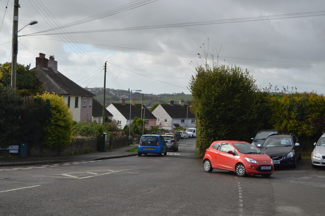
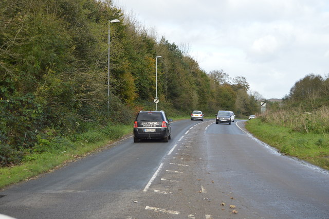
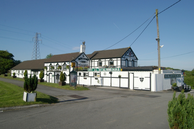
Ziggarson Wood Images

Images are sourced within 2km of 50.438071/-4.235949 or Grid Reference SX4162. Thanks to Geograph Open Source API. All images are credited.

Approaching Vollards Lane, Hatt
St Mary's Church
St Mary's Church
Former Botus Fleming Wesleyan Chapel
Old Milestone by the A388, north of Hatt Carved stone post by the A388, in parish of BOTUSFLEMING (CARADON District), North of Hutt, against bank at back of verge, on East side of road. Saltash CS tombstone, erected by the Saltash turnpike trust in the 18th century. 

Inscription reads:-
C
5½
S
4 

Grade II Listed. List Entry Number: 1393081
<span class="nowrap"><a title="https://historicengland.org.uk/listing/the-list/list-entry/1393081" rel="nofollow ugc noopener" href="https://historicengland.org.uk/listing/the-list/list-entry/1393081">Link</a><img style="margin-left:2px;" alt="External link" title="External link - shift click to open in new window" src="https://s1.geograph.org.uk/img/external.png" width="10" height="10"/></span>

Milestone Society National ID: CW_CLSH05.
Old Milestone by the A388, north of Hatt
Carved stone post by the A388, in parish of BOTUSFLEMING (CARADON District), North of Hutt, against bank at back of verge, on East side of road. Saltash CS tombstone, erected by the Saltash turnpike trust in the 18th century. Inscription reads:- C 5½ S 4 Grade II Listed. List Entry Number: 1393081 LinkExternal link Milestone Society National ID: CW_CLSH05.
Road sign to Trematon
Lane to Notter
Lane to Notter
Trees by the A388
Trees by the A388
Ridgecroft
Ridgecroft
Pace filling station, Hatt
Vollards Lane, Hatt
Vollards Lane, Hatt
Roundabout at Hatt The A388 runs 49 miles north to south across Cornwall, from Saltash to Landcross.
<span class="nowrap"><a title="https://www.sabre-roads.org.uk/wiki/index.php?title=A388" rel="nofollow ugc noopener" href="https://www.sabre-roads.org.uk/wiki/index.php?title=A388">Link</a><img style="margin-left:2px;" alt="External link" title="External link - shift click to open in new window" src="https://s1.geograph.org.uk/img/external.png" width="10" height="10"/></span>
Roundabout at Hatt
The A388 runs 49 miles north to south across Cornwall, from Saltash to Landcross. LinkExternal link
A388, Hatt The A388 runs 49 miles north to south across Cornwall, from Saltash to Landcross.
<span class="nowrap"><a title="https://www.sabre-roads.org.uk/wiki/index.php?title=A388" rel="nofollow ugc noopener" href="https://www.sabre-roads.org.uk/wiki/index.php?title=A388">Link</a><img style="margin-left:2px;" alt="External link" title="External link - shift click to open in new window" src="https://s1.geograph.org.uk/img/external.png" width="10" height="10"/></span>
A388, Hatt
The A388 runs 49 miles north to south across Cornwall, from Saltash to Landcross. LinkExternal link
Lane to Botusfleming
Cut through to A388
Cut through to A388
Carlton Villas
Carlton Villas
Ridgecroft
Ridgecroft
Show me another place!

Ziggarson Wood is located at Grid Ref: SX4162 (Lat: 50.438071, Lng: -4.235949)

Unitary Authority: Cornwall

Police Authority: Devon and Cornwall

What 3 Words

///century.boarded.influence. Near Saltash, Cornwall

Nearby Locations

Ziggarson Wood

Related Wikis

Botusfleming

Botus Fleming or Botusfleming (Cornish: Bosflumyes) is a village and civil parish in southeast Cornwall, England, United Kingdom. The 2001 census gives...

Carkeel

Carkeel is a hamlet north of Saltash in southeast Cornwall, England. == References ==

Hatt, Cornwall

Hatt is a hamlet in the civil parish of Botusfleming in east Cornwall, England, UK. It is on the A388 road from Callington to Saltash. Hatt House was built...

Landulph

Landulph (Cornish: Lanndhylyk) is a hamlet and a rural civil parish in south-east Cornwall, England, United Kingdom. It is about 3 miles (5 km) north of...

Nearby Amenities

Located within 500m of 50.438071,-4.235949
Power: tower
Source: bing
Lat/Long: 50.4404545/-4.2345529
Power: tower
Lat/Long: 50.4405836/-4.239889
Power: tower
Lat/Long: 50.4377595/-4.2426533
Power: tower
Source: bing
Lat/Long: 50.4388764/-4.2315526
Power: pole
Lat/Long: 50.4405288/-4.2402358
Power: pole
Lat/Long: 50.4341951/-4.2339675
Power: pole
Lat/Long: 50.4350758/-4.2349935
Power: pole
Lat/Long: 50.4361914/-4.2362487
Power: pole
Lat/Long: 50.4368688/-4.2370319
Power: pole
Lat/Long: 50.4377529/-4.238078
Power: pole
Lat/Long: 50.4383909/-4.2388223
Power: pole
Lat/Long: 50.441137/-4.2361991
Power: pole
Lat/Long: 50.4414402/-4.2371312
Power: pole
Lat/Long: 50.441699/-4.2379533
Power: pole
Lat/Long: 50.4419885/-4.2388397
Power: pole
Lat/Long: 50.4411515/-4.2403901
Power: pole
Lat/Long: 50.4387685/-4.2390731
Power: pole
Lat/Long: 50.4402308/-4.2417794
Power: pole
Lat/Long: 50.4392331/-4.2418049
The data included in this document is from www.openstreetmap.org. The data is made available under ODbL.

Have you been to Ziggarson Wood?

Leave your review of Ziggarson Wood below (or comments, questions and feedback).