Chequers Corner
Settlement in Norfolk King's Lynn and West Norfolk
England
Chequers Corner
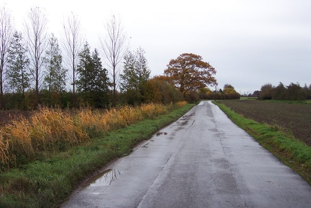
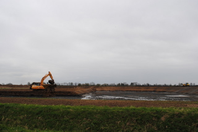
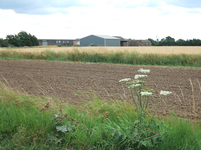
Chequers Corner is a small village located in the county of Norfolk, England. Situated in the South Norfolk district, it lies about 10 miles southwest of the county town of Norwich. The village is nestled in a rural setting, surrounded by picturesque countryside and farmland.
The origin of the name "Chequers Corner" comes from the presence of a historic coaching inn known as The Chequers Inn, which has been a prominent landmark in the area for centuries. The inn was a popular stop for travelers and horse-drawn coaches passing through the region.
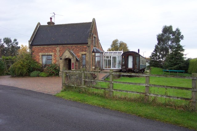
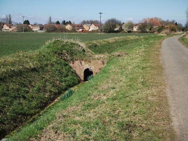
Today, Chequers Corner remains a peaceful and close-knit community with a modest population. The village is predominantly residential, characterized by charming cottages and houses that reflect the traditional architectural style of the region. It also boasts a small but friendly community spirit, with regular village events and activities organized by local residents.
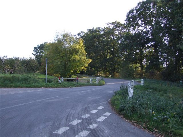
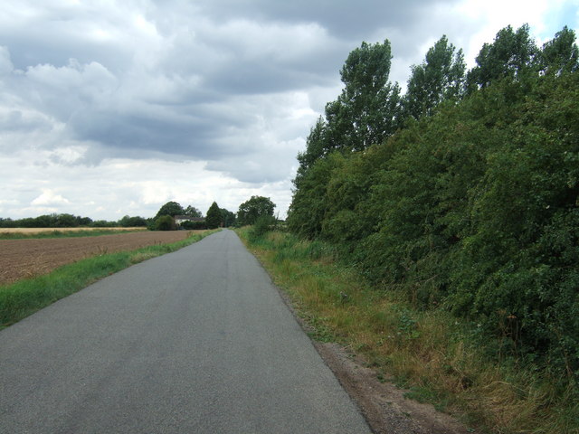
The surrounding countryside offers ample opportunities for outdoor pursuits, including walking, cycling, and horse riding. The village is well-connected to nearby towns and cities, with good road links providing easy access to Norwich and other parts of Norfolk.
While Chequers Corner may not have a wide range of amenities and facilities, residents can find essential services in the nearby towns and villages. The village's tranquil atmosphere and idyllic setting make it an attractive place for those seeking a peaceful rural lifestyle within reach of urban conveniences.
If you have any feedback on the listing, please let us know in the comments section below.
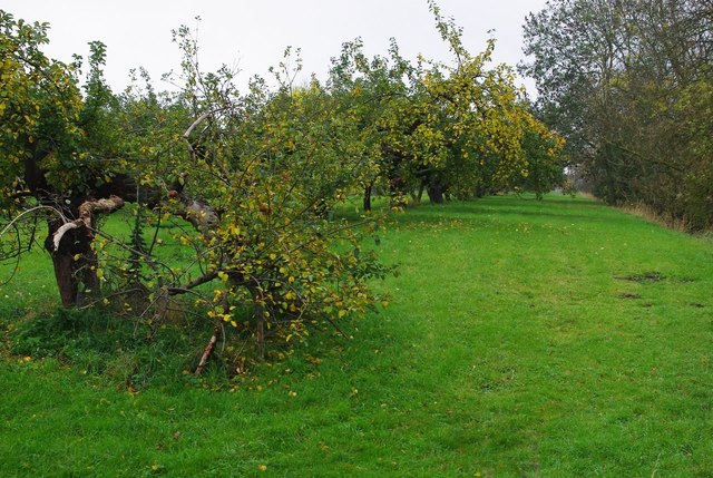
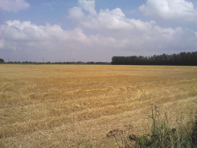
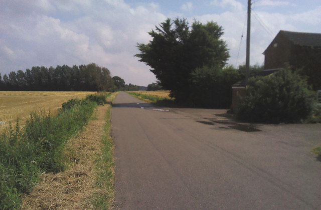
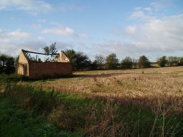
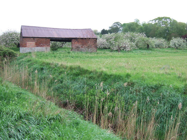
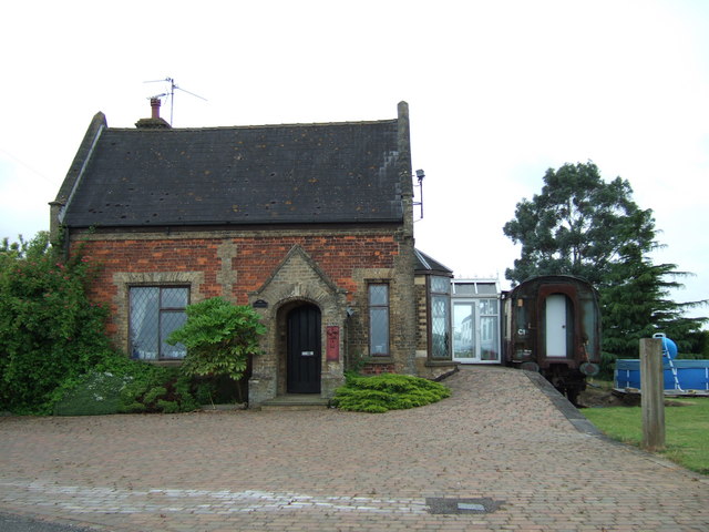
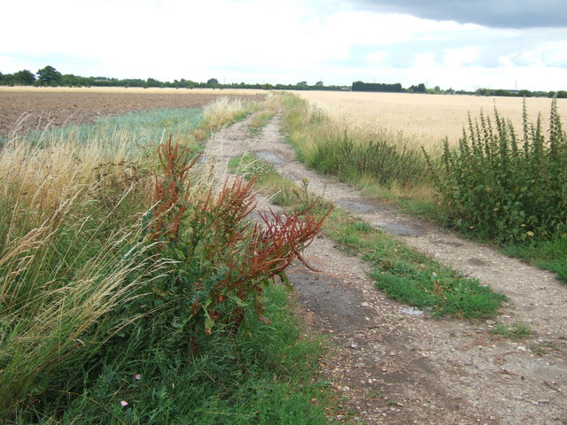
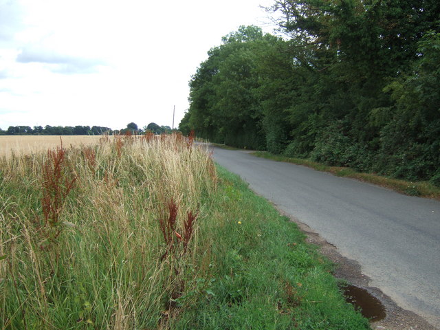
Chequers Corner Images
Images are sourced within 2km of 52.653308/0.214457 or Grid Reference TF4908. Thanks to Geograph Open Source API. All images are credited.


Chequers Corner is located at Grid Ref: TF4908 (Lat: 52.653308, Lng: 0.214457)
Administrative County: Norfolk
District: King's Lynn and West Norfolk
Police Authority: Norfolk
What 3 Words
///treaty.upper.span. Near Emneth, Norfolk
Nearby Locations
Related Wikis

Emneth railway station
Emneth was a railway station, near Wisbech, which served the village of Emneth, Norfolk. The station was opened in 1848 as an extension of the East Anglian...

Emneth
Emneth is a village and civil parish in the English county of Norfolk. The village is located 2.9 miles (4.7 km) south-east of Wisbech, 12 miles (19 km...

Marshland Rural District
Marshland Rural District was a rural district in Norfolk, England from 1894 to 1974.It was formed under the Local Government Act 1894 based on the Marshland...

Marshland St James
Marshland St James is a village and civil parish in the English county of Norfolk. It covers an area of 25.69 km2 (9.92 sq mi) and had a population of...

Emneth Hungate
Emneth Hungate is a small settlement near the village of Emneth in Norfolk, England, near the border with Cambridgeshire. It once had its own Emneth railway...

Elmbridge railway station
Elmbridge railway station was a stop on the Wisbech and Upwell Tramway. It was in a projection of the parish of Emneth, Norfolk but was immediately south...
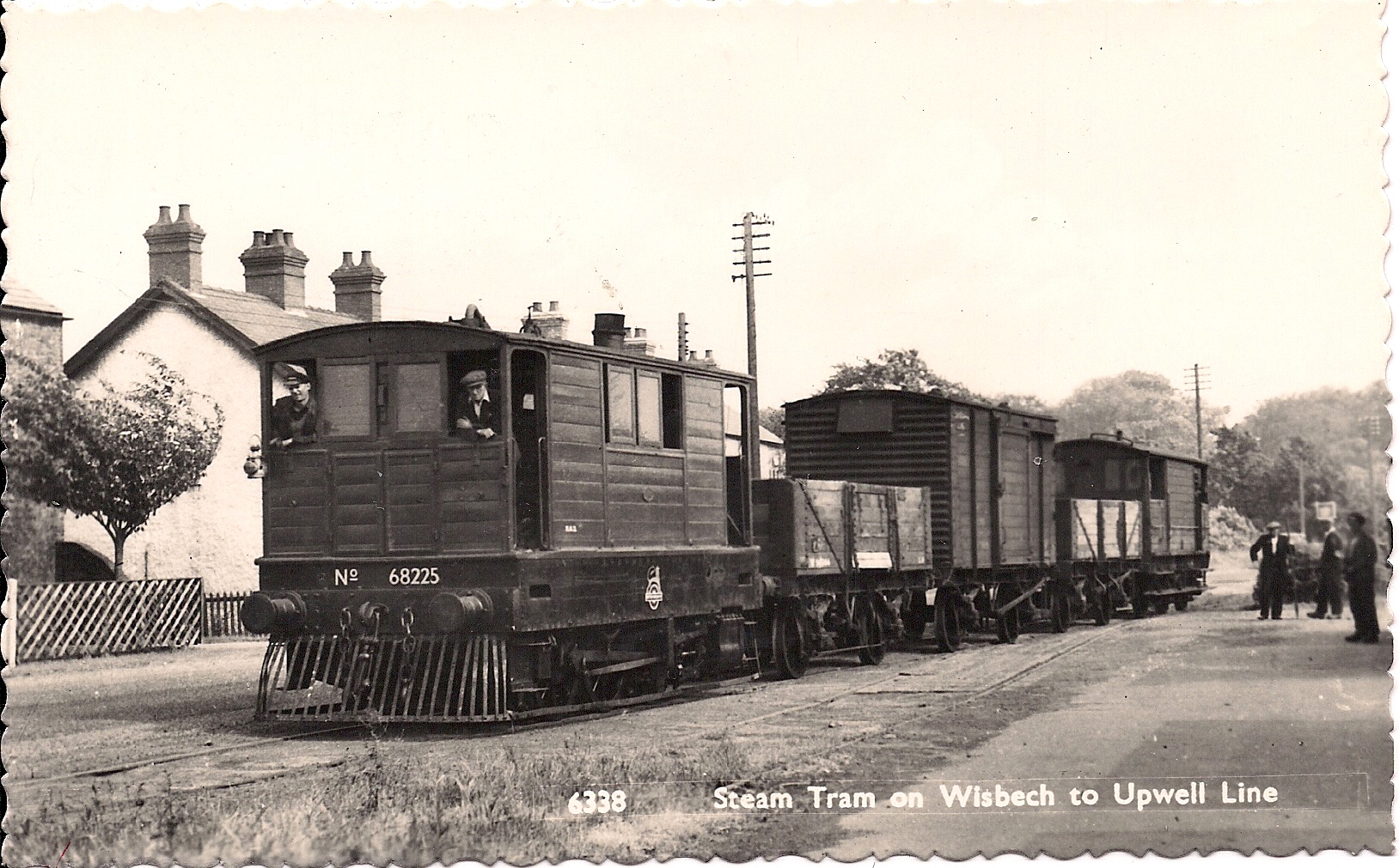
Wisbech and Upwell Tramway
The Wisbech and Upwell Tramway was a rural standard gauge tramway in East Anglia. It was built by the Great Eastern Railway between Wisbech, Isle of Ely...

Smeeth Road railway station
Smeeth Road was a railway station serving the villages of Emneth Hungate, Marshland St James and St John Fen's End, all east of Wisbech in Norfolk, England...
Related Videos
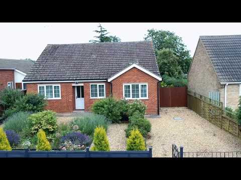
For Sale - ABODA Fine Homes - a GORGEOUS Bungalow with a stunning kitchen/diner & mature gardens
YOU WILL LOVE!!! The peace and tranquillity within this light-filled spacious semi-rural village home with the convenience of all ...
Nearby Amenities
Located within 500m of 52.653308,0.214457Have you been to Chequers Corner?
Leave your review of Chequers Corner below (or comments, questions and feedback).