Collingsdown Plantation
Wood, Forest in Devon Torridge
England
Collingsdown Plantation
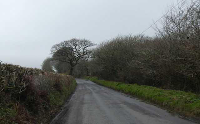
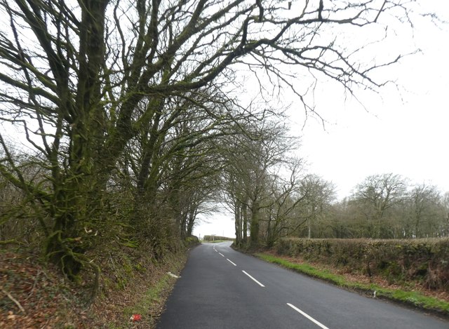
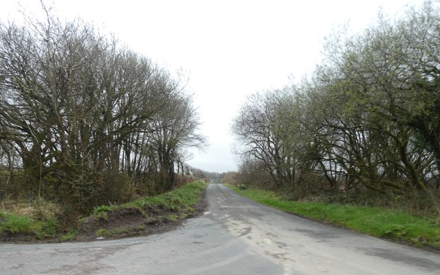
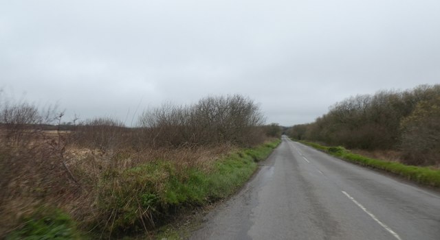
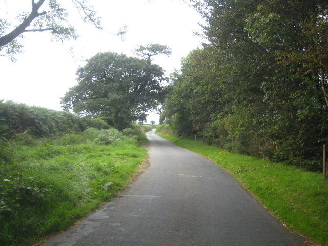
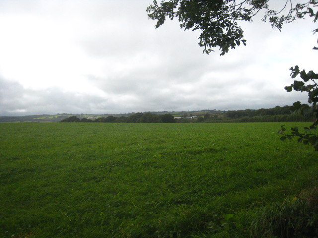
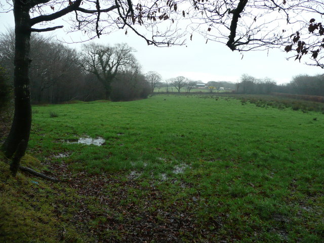
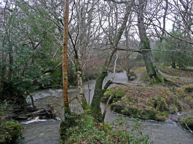
Collingsdown Plantation is a picturesque woodland located in the scenic county of Devon, England. Situated near the village of Collingsdown, this expansive forest covers an area of approximately 500 acres. The plantation is renowned for its diverse range of tree species, creating a vibrant and enchanting landscape.
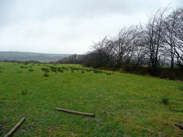
The woodland is predominantly made up of native trees such as oak, beech, and ash, which form a dense canopy overhead. These majestic trees create a tranquil and serene atmosphere, attracting nature enthusiasts and hikers alike. The forest floor is adorned with a rich carpet of ferns, wildflowers, and mosses, adding to the area's natural charm.
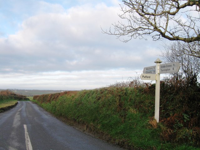
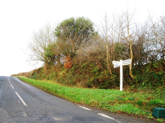
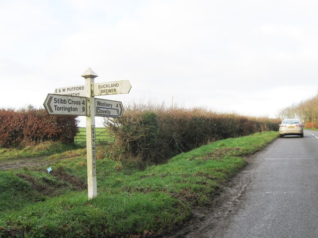
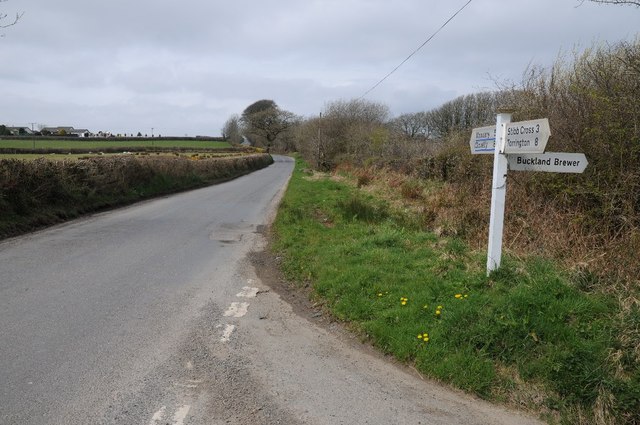
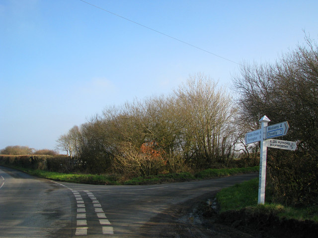
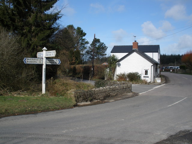
Collingsdown Plantation boasts a network of well-maintained walking trails, allowing visitors to explore its beauty at their own pace. The paths wind through the forest, leading to hidden glades and secluded spots, perfect for quiet contemplation or a picnic amidst nature. The plantation is also home to a variety of wildlife, including deer, foxes, and a myriad of bird species, making it a haven for wildlife enthusiasts and birdwatchers.
The plantation is managed by a dedicated team of conservationists who strive to preserve its ecological balance. They engage in sustainable forestry practices, ensuring the well-being of the woodland and its inhabitants. Collingsdown Plantation also offers educational programs and guided tours, enabling visitors to learn about the importance of preserving natural habitats and the local ecosystem.
Whether it's a leisurely stroll, a challenging hike, or an opportunity to immerse oneself in the wonders of nature, Collingsdown Plantation provides a captivating experience for all who visit.
If you have any feedback on the listing, please let us know in the comments section below.
Collingsdown Plantation Images
Images are sourced within 2km of 50.929069/-4.2937173 or Grid Reference SS3816. Thanks to Geograph Open Source API. All images are credited.


Collingsdown Plantation is located at Grid Ref: SS3816 (Lat: 50.929069, Lng: -4.2937173)
Administrative County: Devon
District: Torridge
Police Authority: Devon and Cornwall
What 3 Words
///indulgent.conqueror.efficient. Near Great Torrington, Devon
Nearby Locations
Related Wikis
East Putford
East Putford is a small settlement and civil parish in the local government district of Torridge, Devon, England. The parish, which lies about halfway...

West Putford
West Putford is a small settlement and civil parish in the local government district of Torridge, Devon, England. The parish, which lies about 8.5 miles...

Bulkworthy
Bulkworthy is a village and civil parish in the Torridge district of Devon, England, about 9 miles southwest of Great Torrington, and on the River Torridge...

Hembury Castle, Tythecott
Hembury Castle is an Iron Age Hill fort situated close to Tythecott, south of Buckland Brewer in Devon. The fort is situated on a promontory off the East...
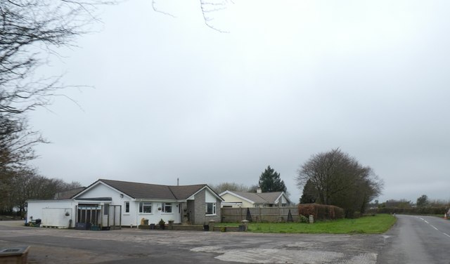
Nearby Amenities
Located within 500m of 50.929069,-4.2937173Have you been to Collingsdown Plantation?
Leave your review of Collingsdown Plantation below (or comments, questions and feedback).