Mambury Moor
Downs, Moorland in Devon Torridge
England
Mambury Moor
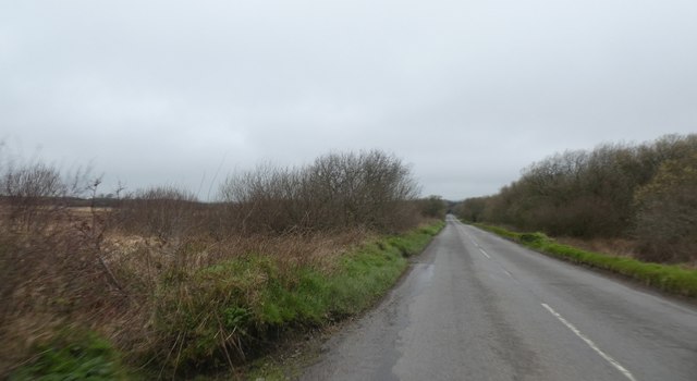
Mambury Moor, located in Devon, England, is a stunning expanse of downs and moorland spanning approximately 1,500 acres. Situated within the East Devon Area of Outstanding Natural Beauty, this area boasts incredible natural beauty and offers a range of captivating landscapes.
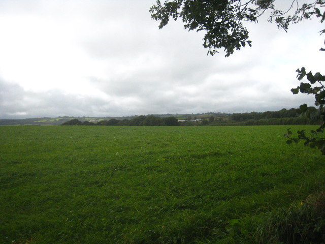
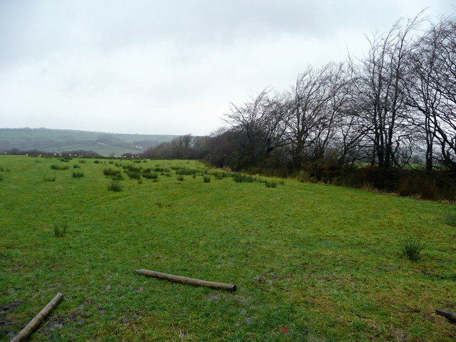
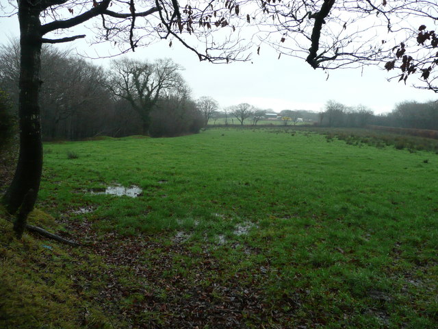
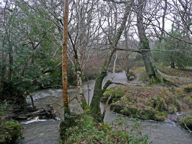
The moorland of Mambury Moor is characterized by its rolling hills, heather-covered expanses, and scattered pockets of woodland. The diverse vegetation adds to its allure, with a variety of grasses, ferns, and wildflowers creating a vibrant and colorful tapestry. The area is also home to numerous species of birds, including skylarks and stonechats, as well as various small mammals.
One of the notable features of Mambury Moor is its historic significance. The moor is scattered with ancient archaeological remains, including Bronze Age burial mounds and stone circles, providing glimpses into the area's rich past. These remnants serve as a reminder of the long human history and cultural heritage that has shaped this landscape.
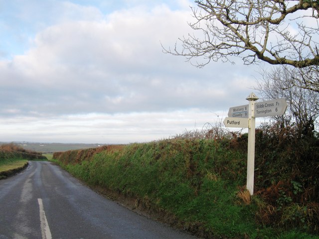
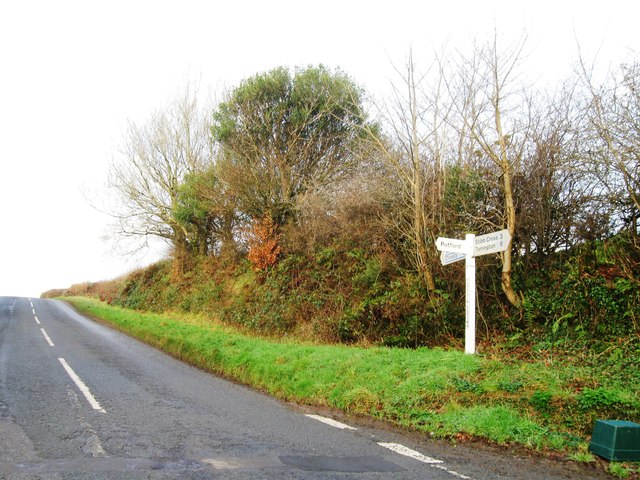
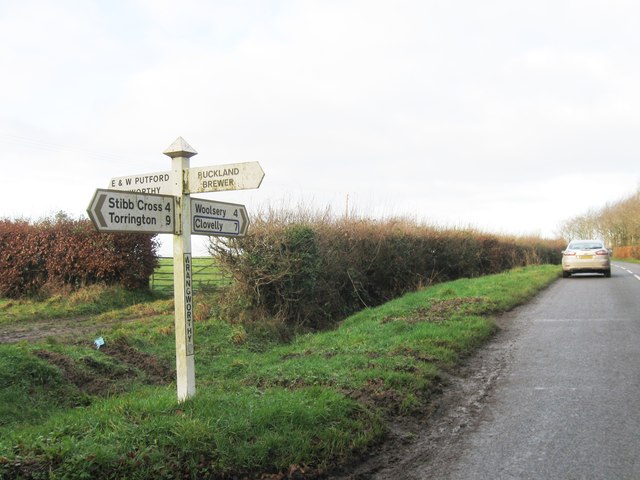
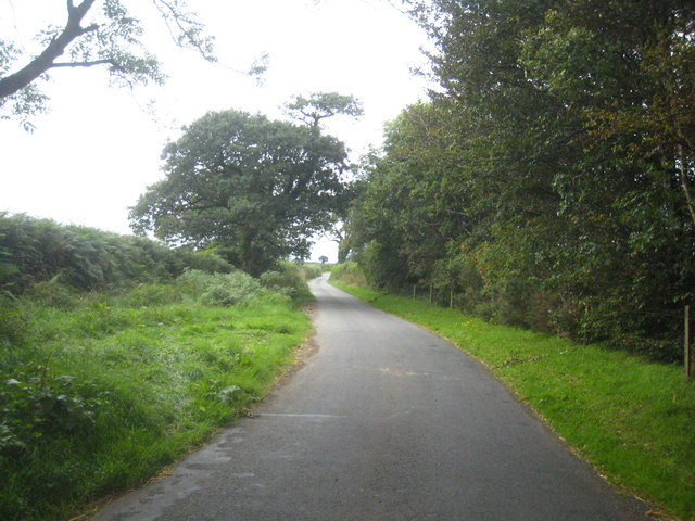
Mambury Moor offers an array of recreational opportunities for visitors. The network of footpaths and trails provides excellent opportunities for walking, hiking, and exploring the area's remarkable scenery. Additionally, the moor is popular for birdwatching and nature photography, attracting enthusiasts from far and wide.
Visitors to Mambury Moor can expect to be greeted by breathtaking views, tranquil surroundings, and a sense of serenity. Whether one is seeking a peaceful escape into nature or a chance to delve into the area's ancient history, Mambury Moor delivers an unforgettable experience in the heart of Devon.
If you have any feedback on the listing, please let us know in the comments section below.
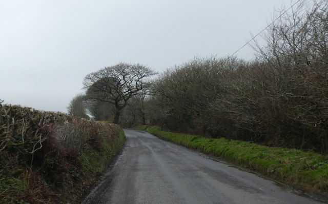
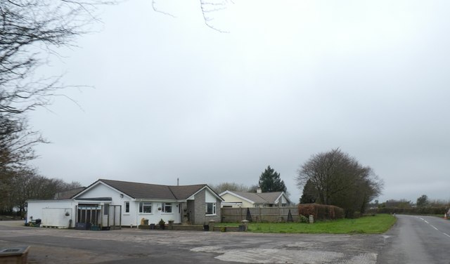
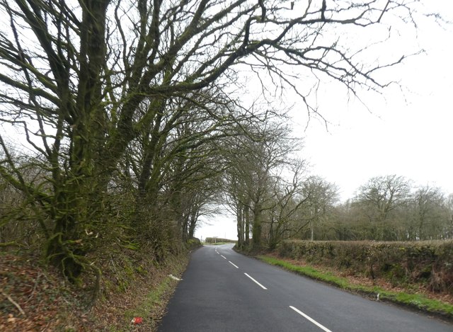
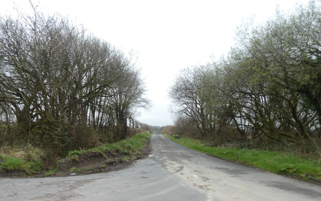
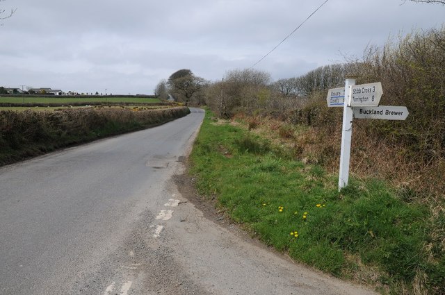
Mambury Moor Images
Images are sourced within 2km of 50.927582/-4.2961915 or Grid Reference SS3816. Thanks to Geograph Open Source API. All images are credited.


Mambury Moor is located at Grid Ref: SS3816 (Lat: 50.927582, Lng: -4.2961915)
Administrative County: Devon
District: Torridge
Police Authority: Devon and Cornwall
What 3 Words
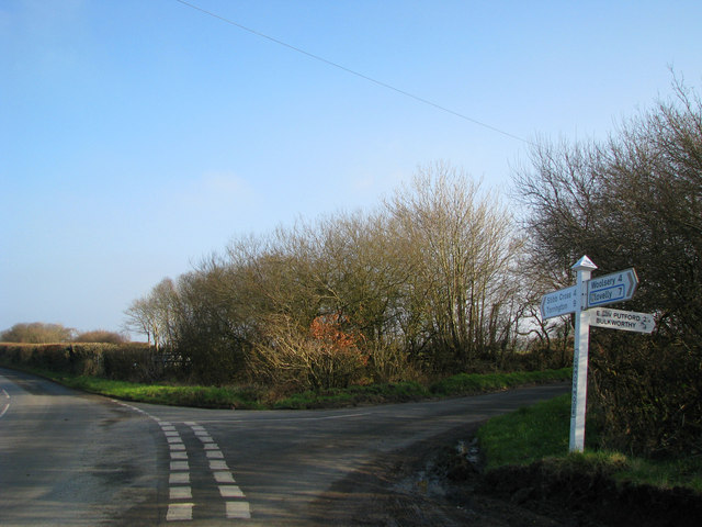
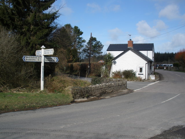
///sideboard.rift.foot. Near Great Torrington, Devon
Nearby Locations
Related Wikis
East Putford
East Putford is a small settlement and civil parish in the local government district of Torridge, Devon, England. The parish, which lies about halfway...

West Putford
West Putford is a small settlement and civil parish in the local government district of Torridge, Devon, England. The parish, which lies about 8.5 miles...

Bulkworthy
Bulkworthy is a village and civil parish in the Torridge district of Devon, England, about 9 miles southwest of Great Torrington, and on the River Torridge...

Abbots Bickington
Abbots Bickington is a village and civil parish in the English county of Devon, located 7.7 mi (12.4 km) north-northeast of Holsworthy and near the River...
Have you been to Mambury Moor?
Leave your review of Mambury Moor below (or comments, questions and feedback).