Herne's Oak

Wood, Forest in Cornwall

England

Herne's Oak

All Saints Church
All Saints Church Credit: Paul Barnett

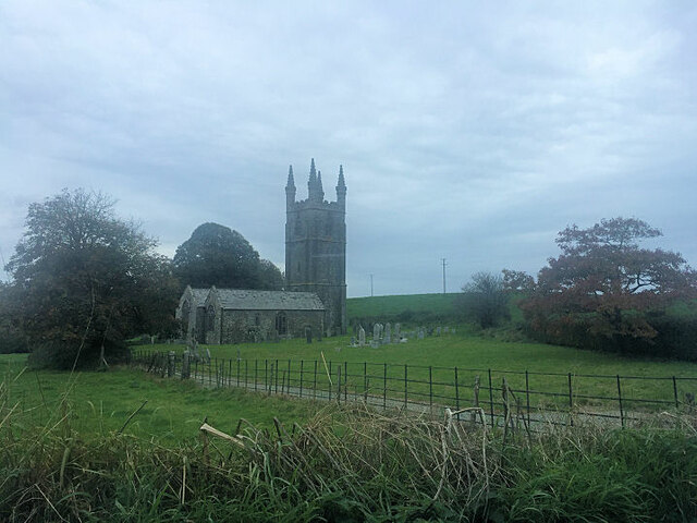
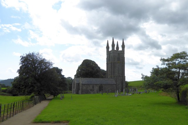
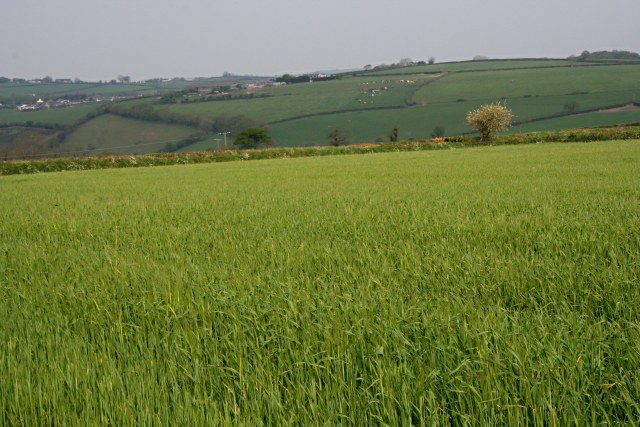
Herne's Oak is a remarkable woodland located in Cornwall, England. Situated in the beautiful countryside, this ancient forest holds great historical and cultural significance. The oak trees that dominate the landscape are estimated to be over 400 years old, standing tall and majestic, forming a dense canopy that provides shade and shelter for a diverse array of flora and fauna.

Named after the legendary figure of Herne the Hunter, this woodland has become associated with folklore and myth. According to the legends, Herne was a ghostly huntsman who was said to haunt the forest, protecting its natural beauty and wildlife. Many locals believe that the oak trees themselves possess a mystical aura, imbued with the spirit of Herne.

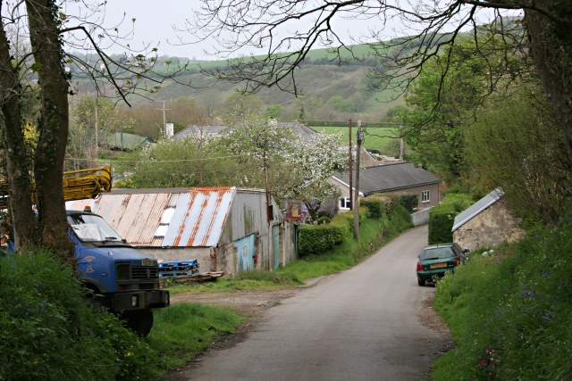
The woodland is a haven for nature enthusiasts and hikers, offering numerous trails and pathways that wind through its enchanting scenery. Visitors can enjoy a peaceful walk surrounded by the tranquility of nature, with glimpses of wildlife such as deer, rabbits, and a variety of bird species.

Herne's Oak is also home to a diverse range of plant life, including various species of ferns, mosses, and wildflowers. In spring, the forest comes alive with a burst of color as the flowers bloom, creating a picturesque landscape.

Preservation efforts have been put in place to protect the woodland and its historical significance. The area is maintained by local authorities and nature conservation organizations, ensuring that this natural treasure remains intact for future generations to enjoy.

In conclusion, Herne's Oak is a captivating woodland that combines nature's beauty with mystical folklore. Its ancient oak trees, diverse wildlife, and historical significance make it a must-visit destination for anyone seeking a connection with the natural world and a touch of magic.

If you have any feedback on the listing, please let us know in the comments section below.
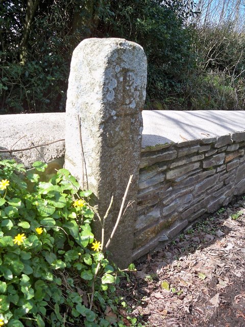
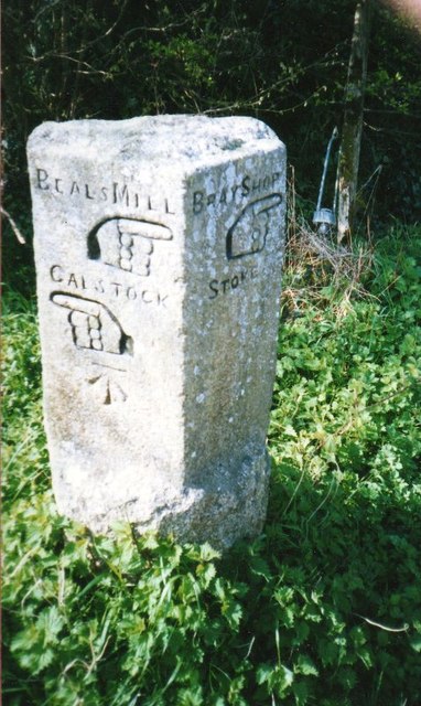
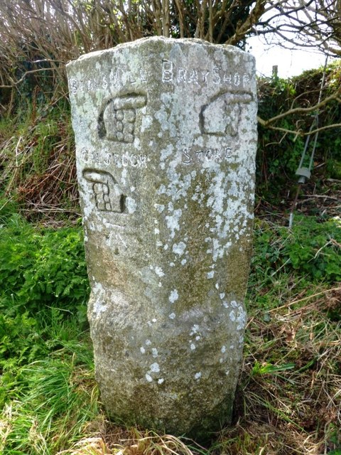
Herne's Oak Images

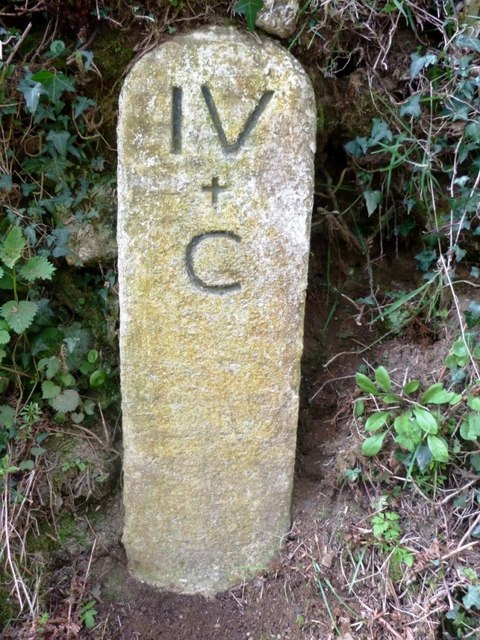
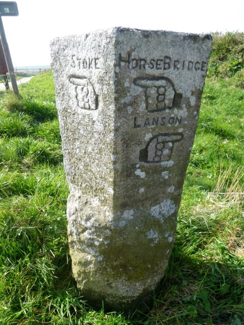
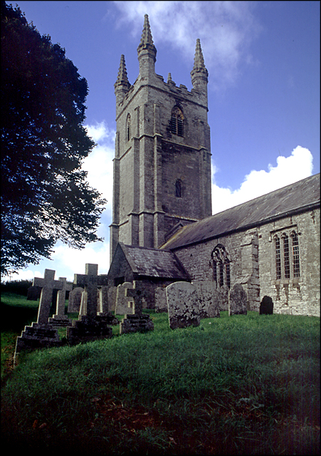
Images are sourced within 2km of 50.576526/-4.3016273 or Grid Reference SX3777. Thanks to Geograph Open Source API. All images are credited.

All Saints Church
All Saints Church
Old Guide Stone by Goosewell crossroads, Stoke Climsland Stone fingerpost by the UC road, in parish of Stoke Climsland (North Cornwall District), Goosewell, crossroads, by the road. An earlier photograph can be found here: <a title="https://www.geograph.org.uk/photo/6038677" href="https://www.geograph.org.uk/photo/6038677">Link</a>

Inscription reads:
STOKE / {pointing hand} : : HORSEBRIDGE / {pointing hand} / LANSON / {pointing hand} 

Grade II listed. List Entry Number: 1220136 <span class="nowrap"><a title="https://historicengland.org.uk/listing/the-list/list-entry/1220136" rel="nofollow ugc noopener" href="https://historicengland.org.uk/listing/the-list/list-entry/1220136">Link</a><img style="margin-left:2px;" alt="External link" title="External link - shift click to open in new window" src="https://s1.geograph.org.uk/img/external.png" width="10" height="10"/></span>

Milestone Society National ID: CW_XSTOK3.
Old Guide Stone by Goosewell crossroads, Stoke Climsland
Stone fingerpost by the UC road, in parish of Stoke Climsland (North Cornwall District), Goosewell, crossroads, by the road. An earlier photograph can be found here: Link Inscription reads: STOKE / {pointing hand} : : HORSEBRIDGE / {pointing hand} / LANSON / {pointing hand} Grade II listed. List Entry Number: 1220136 LinkExternal link Milestone Society National ID: CW_XSTOK3.
Dunterton Church All Saints Church, Dunterton is isolated from houses.  There are cottages and a farm to the east, on the site of the manor house, and the parish once boasted its own rectory, on the hill to the north
Dunterton Church
All Saints Church, Dunterton is isolated from houses. There are cottages and a farm to the east, on the site of the manor house, and the parish once boasted its own rectory, on the hill to the north
The isolation of Dunterton Church The woods on the left mark the site of a former quarry
The isolation of Dunterton Church
The woods on the left mark the site of a former quarry
Dunterton Church All Saints Church, Dunterton (listed Grade I) is isolated; its parish extended to include several hamlets; even so, in the 1870s there were only 35 houses in the parish
Dunterton Church
All Saints Church, Dunterton (listed Grade I) is isolated; its parish extended to include several hamlets; even so, in the 1870s there were only 35 houses in the parish
Access road to Hardstone Farm
B3362 entering a tunnel-like wood Hardstone Wood borders the Tamar. There is a sudden transition from light to the darkness of the overhanging trees
B3362 entering a tunnel-like wood
Hardstone Wood borders the Tamar. There is a sudden transition from light to the darkness of the overhanging trees
Old Guide Stone by Goosewell crossroads, Stoke Climsland Stone fingerpost by the UC road, in parish of Stoke Climsland (North Cornwall District), Goosewell, crossroads, by the road.

Inscription reads:
: STOKE / {pointing hand} : : HORSEBRIDGE / {pointing hand} / LANSON / {pointing hand} :

Grade II listed. List Entry Number: 1220136
<span class="nowrap"><a title="https://historicengland.org.uk/listing/the-list/list-entry/1220136" rel="nofollow ugc noopener" href="https://historicengland.org.uk/listing/the-list/list-entry/1220136">Link</a><img style="margin-left:2px;" alt="External link" title="External link - shift click to open in new window" src="https://s1.geograph.org.uk/img/external.png" width="10" height="10"/></span>

Surveyed

Milestone Society National ID: CW_XSTOK3.
Old Guide Stone by Goosewell crossroads, Stoke Climsland
Stone fingerpost by the UC road, in parish of Stoke Climsland (North Cornwall District), Goosewell, crossroads, by the road. Inscription reads: : STOKE / {pointing hand} : : HORSEBRIDGE / {pointing hand} / LANSON / {pointing hand} : Grade II listed. List Entry Number: 1220136 LinkExternal link Surveyed Milestone Society National ID: CW_XSTOK3.
Old Boundary Marker south of Beals Mill Bridge, Stokeclimsland parish Turnpike Terminus Marker by the UC road, in parish of Stokeclimsland (North Cornwall District), Beals Mill Bridge, against stone wall.

Grade II listed.
List Entry Number: 1220308 <span class="nowrap"><a title="https://historicengland.org.uk/listing/the-list/list-entry/1220308" rel="nofollow ugc noopener" href="https://historicengland.org.uk/listing/the-list/list-entry/1220308">Link</a><img style="margin-left:2px;" alt="External link" title="External link - shift click to open in new window" src="https://s1.geograph.org.uk/img/external.png" width="10" height="10"/></span>

Surveyed

Milestone Society National ID: CW_CLBM05t
Old Boundary Marker south of Beals Mill Bridge, Stokeclimsland parish
Turnpike Terminus Marker by the UC road, in parish of Stokeclimsland (North Cornwall District), Beals Mill Bridge, against stone wall. Grade II listed. List Entry Number: 1220308 LinkExternal link Surveyed Milestone Society National ID: CW_CLBM05t
Tollhouse in Bealsmill, Stokeclimsland Tollhouse by the unclassified road, in the parish of Stokeclimsland (North Cornwall District), Toll Cottage, Bealsmill, PL17 8LR.

Cornwall & Scilly HER.
HER Number: MCO55426 <span class="nowrap"><a title="https://www.heritagegateway.org.uk/Gateway/Results_Single.aspx?uid=MCO55426&resourceID=1020" rel="nofollow ugc noopener" href="https://www.heritagegateway.org.uk/Gateway/Results_Single.aspx?uid=MCO55426&resourceID=1020">Link</a><img style="margin-left:2px;" alt="External link" title="External link - shift click to open in new window" src="https://s1.geograph.org.uk/img/external.png" width="10" height="10"/></span>

To be surveyed

Milestone Society National ID: CW.STO
Tollhouse in Bealsmill, Stokeclimsland
Tollhouse by the unclassified road, in the parish of Stokeclimsland (North Cornwall District), Toll Cottage, Bealsmill, PL17 8LR. Cornwall & Scilly HER. HER Number: MCO55426 LinkExternal link To be surveyed Milestone Society National ID: CW.STO
Old Guide Stone south of Goosewell Carved stone fingerpost by the UC road, in parish of Stokeclimsland (North Cornwall District), Goosewell, crossroads, by the road.

Inscription reads:-
: BEALS MILL / {hand->} / CALSTOCK / {<-hand} : : BRAY SHOP / {hand->} / STOKE :
Carved bench mark on lower 'Calstock' face.

Grade II listed.
List Entry Number: 1220135 <span class="nowrap"><a title="https://historicengland.org.uk/listing/the-list/list-entry/1220135" rel="nofollow ugc noopener" href="https://historicengland.org.uk/listing/the-list/list-entry/1220135">Link</a><img style="margin-left:2px;" alt="External link" title="External link - shift click to open in new window" src="https://s1.geograph.org.uk/img/external.png" width="10" height="10"/></span>

Milestone Society National ID: CW_XSTOK2
Old Guide Stone south of Goosewell
Carved stone fingerpost by the UC road, in parish of Stokeclimsland (North Cornwall District), Goosewell, crossroads, by the road. Inscription reads:- : BEALS MILL / {hand->} / CALSTOCK / {<-hand} : : BRAY SHOP / {hand->} / STOKE : Carved bench mark on lower 'Calstock' face. Grade II listed. List Entry Number: 1220135 LinkExternal link Milestone Society National ID: CW_XSTOK2
Old Guide Stone south of Goosewell Carved stone fingerpost by the UC road, in parish of Stokeclimsland (North Cornwall District), Goosewell, crossroads, by the road.

Inscription reads:-
Left face:
BEALS MILL
{hand-&amp;gt;}
CALSTOCK
{&amp;lt;-hand}
Carved bench mark below &amp;#039;Calstock&amp;#039;.

Right face:
BRAY SHOP
{hand-&amp;gt;}
STOKE :

Grade II listed.
List Entry Number: 1220135 &lt;span class=&quot;nowrap&quot;&gt;&lt;a title=&quot;https://historicengland.org.uk/listing/the-list/list-entry/1220135&quot; rel=&quot;nofollow ugc noopener&quot; href=&quot;https://historicengland.org.uk/listing/the-list/list-entry/1220135&quot;&gt;Link&lt;/a&gt;&lt;img style=&quot;margin-left:2px;&quot; alt=&quot;External link&quot; title=&quot;External link - shift click to open in new window&quot; src=&quot;https://s1.geograph.org.uk/img/external.png&quot; width=&quot;10&quot; height=&quot;10&quot;/&gt;&lt;/span&gt;

Surveyed

Milestone Society National ID: CW_XSTOK2
Old Guide Stone south of Goosewell
Carved stone fingerpost by the UC road, in parish of Stokeclimsland (North Cornwall District), Goosewell, crossroads, by the road. Inscription reads:- Left face: BEALS MILL {hand->} CALSTOCK {<-hand} Carved bench mark below 'Calstock'. Right face: BRAY SHOP {hand->} STOKE : Grade II listed. List Entry Number: 1220135 LinkExternal link Surveyed Milestone Society National ID: CW_XSTOK2
Old Milestone north of Kingston Carved stone post by the UC road, in parish of STOKECLIMSLAND (NORTH CORNWALL District), North of Kingston, in bank, on West side of road. Callington &amp;#039;C&amp;#039; gravestone, erected by the Callington turnpike trust in the 18th century. 

Inscription reads:-
IV
+
C 

Grade II listed. 
List Entry Number: 1220242 &lt;span class=&quot;nowrap&quot;&gt;&lt;a title=&quot;https://historicengland.org.uk/listing/the-list/list-entry/1220242&quot; rel=&quot;nofollow ugc noopener&quot; href=&quot;https://historicengland.org.uk/listing/the-list/list-entry/1220242&quot;&gt;Link&lt;/a&gt;&lt;img style=&quot;margin-left:2px;&quot; alt=&quot;External link&quot; title=&quot;External link - shift click to open in new window&quot; src=&quot;https://s1.geograph.org.uk/img/external.png&quot; width=&quot;10&quot; height=&quot;10&quot;/&gt;&lt;/span&gt;

Milestone Society National ID: CW_CLBM04.
Old Milestone north of Kingston
Carved stone post by the UC road, in parish of STOKECLIMSLAND (NORTH CORNWALL District), North of Kingston, in bank, on West side of road. Callington 'C' gravestone, erected by the Callington turnpike trust in the 18th century. Inscription reads:- IV + C Grade II listed. List Entry Number: 1220242 LinkExternal link Milestone Society National ID: CW_CLBM04.
Old Guide Stone southeast of Goosewell Carved stone fingerpost by the UC road, in parish of Stoke Climsland (North Cornwall District), Goosewell, crossroads, by the road.

Inscription reads:-
: STOKE / {&amp;lt;-hand} : : HORSEBRIDGE / {&amp;lt;-hand} / LANSON / {hand-&amp;gt;} :

Grade II listed.
List Entry Number: 1220136 &lt;span class=&quot;nowrap&quot;&gt;&lt;a title=&quot;https://historicengland.org.uk/listing/the-list/list-entry/1220136&quot; rel=&quot;nofollow ugc noopener&quot; href=&quot;https://historicengland.org.uk/listing/the-list/list-entry/1220136&quot;&gt;Link&lt;/a&gt;&lt;img style=&quot;margin-left:2px;&quot; alt=&quot;External link&quot; title=&quot;External link - shift click to open in new window&quot; src=&quot;https://s1.geograph.org.uk/img/external.png&quot; width=&quot;10&quot; height=&quot;10&quot;/&gt;&lt;/span&gt;

Surveyed

Milestone Society National ID: CW_XSTOK3.
Old Guide Stone southeast of Goosewell
Carved stone fingerpost by the UC road, in parish of Stoke Climsland (North Cornwall District), Goosewell, crossroads, by the road. Inscription reads:- : STOKE / {<-hand} : : HORSEBRIDGE / {<-hand} / LANSON / {hand->} : Grade II listed. List Entry Number: 1220136 LinkExternal link Surveyed Milestone Society National ID: CW_XSTOK3.
Old Boundary Marker County Bridge Marker on the southwest side of the road 100 metres north of Bealsmill Bridge, River Inny. Lezant parish. Inscribed C. The stone marks the extent of roadway adjoining the bridge that the County was obliged to maintain.

Milestone Society National ID: CW_LEZ02br
Old Boundary Marker
County Bridge Marker on the southwest side of the road 100 metres north of Bealsmill Bridge, River Inny. Lezant parish. Inscribed C. The stone marks the extent of roadway adjoining the bridge that the County was obliged to maintain. Milestone Society National ID: CW_LEZ02br
All Saints Church, Dunterton This fantastic little church has a some brilliantly preserved headstones dating back to the early 18th century. It also has the wonkiest tower door I&amp;#039;ve ever seen! Unfortunately, due to its isolated position (in a field), it is normally locked.
All Saints Church, Dunterton
This fantastic little church has a some brilliantly preserved headstones dating back to the early 18th century. It also has the wonkiest tower door I've ever seen! Unfortunately, due to its isolated position (in a field), it is normally locked.
Winter Barley in April It&amp;#039;s the end of April and this barley is already beginning to show its beard.
Winter Barley in April
It's the end of April and this barley is already beginning to show its beard.
Near Bealsmill A few houses and small businesses here just up the road from the bridge over the River Inny
Near Bealsmill
A few houses and small businesses here just up the road from the bridge over the River Inny
Show me another place!

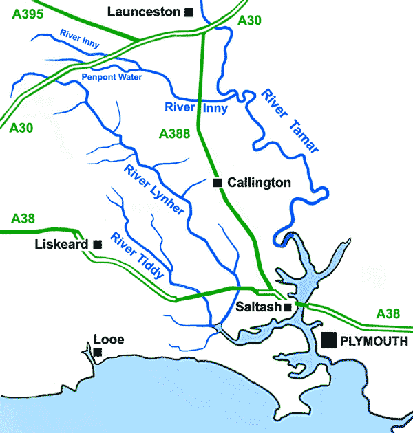
Herne's Oak is located at Grid Ref: SX3777 (Lat: 50.576526, Lng: -4.3016273)

Unitary Authority: Cornwall

Police Authority: Devon and Cornwall

What 3 Words

///humans.asterisk.helpless. Near South Hill, Cornwall

Related Wikis

Carthamartha

Carthamartha is a hamlet in the Tamar valley 1 mile (1.6 km) east of Treburley and 5 miles (8.0 km) south of Launceston in Cornwall, England, UK. It is...

River Inny, Cornwall

The River Inny (Cornish: Dowr Enni) is a small river in East Cornwall, England, United Kingdom. It is a tributary of the River Tamar and is about twenty...

Rezare

Rezare is a hamlet in east Cornwall, England. It is one mile east of Treburley on a minor road from Lewannick to Stoke Climsland. == References ==

Castle Head, Devon

Castle Head is a British Iron Age Hill fort occupying a commanding position on a promontory at the neck of a bow in the River Tamar on the Devon side close...

Have you been to Herne's Oak?

Leave your review of Herne's Oak below (or comments, questions and feedback).