Inny Foot

Lake, Pool, Pond, Freshwater Marsh in Cornwall

England

Inny Foot

All Saints Church
All Saints Church Credit: Paul Barnett

Inny Foot is a picturesque freshwater marsh located in Cornwall, England. It is situated in the heart of the countryside, surrounded by rolling hills and lush green meadows. The site covers an area of approximately 50 acres and is a haven for a diverse range of flora and fauna.

The main feature of Inny Foot is its tranquil lake, which spans across a large portion of the marsh. The lake is fed by several small streams that flow from the surrounding hills, ensuring a constant supply of fresh water. Its crystal-clear waters provide a habitat for various aquatic plants and animals, including water lilies, reeds, and an array of fish species.

Surrounding the lake, there are several smaller pools and ponds, each with its own unique ecosystem. These smaller bodies of water are home to a variety of amphibians, such as frogs, newts, and toads. They also attract a diverse range of bird species, making it a popular spot for birdwatchers.

The marshland itself is a mix of wetland vegetation, including tall grasses, sedges, and rushes. This provides a perfect habitat for numerous bird species, including marsh harriers, herons, and ducks. The marsh is also an important breeding ground for dragonflies and damselflies, which can be seen darting above the water's surface during the summer months.

Inny Foot is not only a haven for wildlife but also a popular destination for nature enthusiasts and visitors seeking peace and tranquility. Its serene surroundings and abundance of natural beauty make it an ideal spot for picnics, walks, and photography.

If you have any feedback on the listing, please let us know in the comments section below.
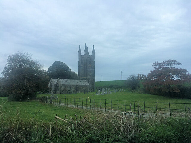
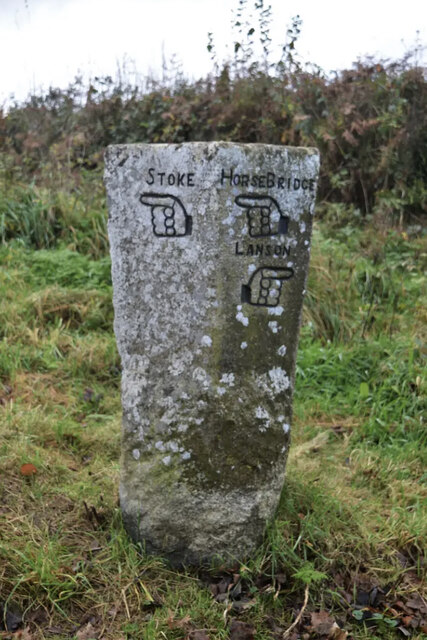
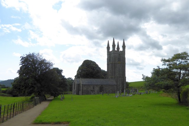
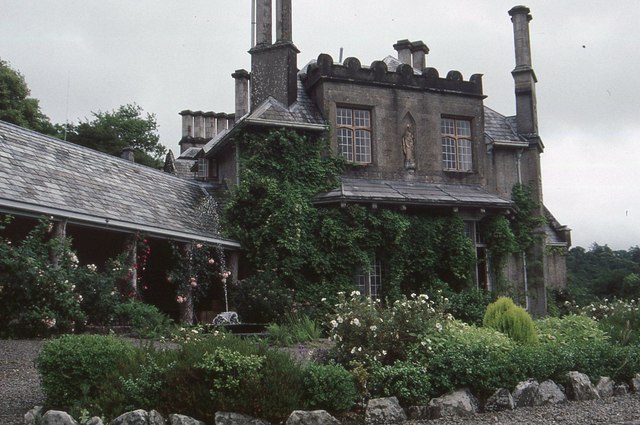
Inny Foot Images

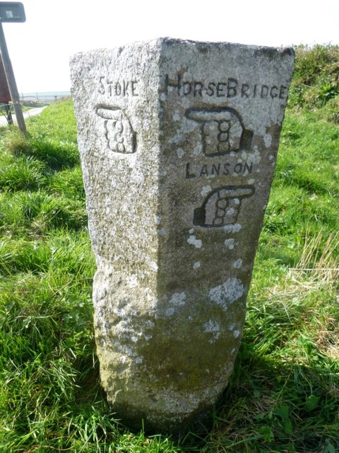
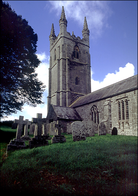
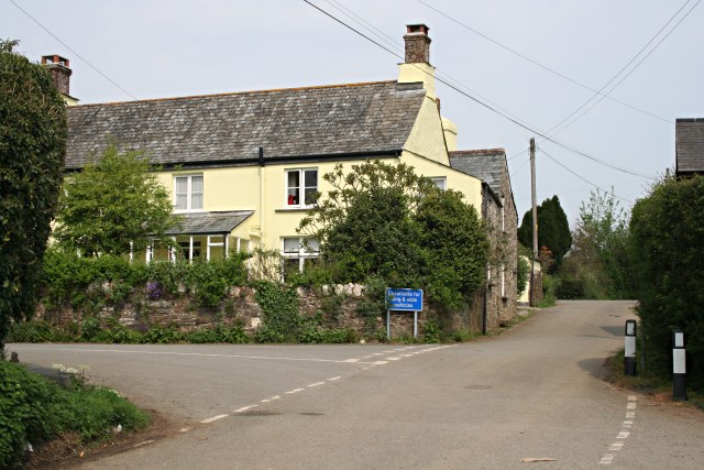
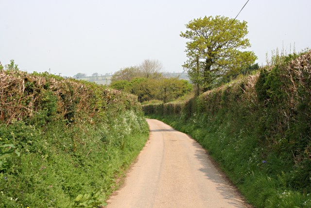
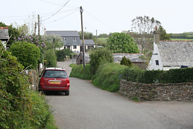
Images are sourced within 2km of 50.578404/-4.2898818 or Grid Reference SX3777. Thanks to Geograph Open Source API. All images are credited.

All Saints Church
All Saints Church
Old Guide Stone by Goosewell crossroads, Stoke Climsland Stone fingerpost by the UC road, in parish of Stoke Climsland (North Cornwall District), Goosewell, crossroads, by the road. An earlier photograph can be found here: <a title="https://www.geograph.org.uk/photo/6038677" href="https://www.geograph.org.uk/photo/6038677">Link</a>

Inscription reads:
STOKE / {pointing hand} : : HORSEBRIDGE / {pointing hand} / LANSON / {pointing hand} 

Grade II listed. List Entry Number: 1220136 <span class="nowrap"><a title="https://historicengland.org.uk/listing/the-list/list-entry/1220136" rel="nofollow ugc noopener" href="https://historicengland.org.uk/listing/the-list/list-entry/1220136">Link</a><img style="margin-left:2px;" alt="External link" title="External link - shift click to open in new window" src="https://s1.geograph.org.uk/img/external.png" width="10" height="10"/></span>

Milestone Society National ID: CW_XSTOK3.
Old Guide Stone by Goosewell crossroads, Stoke Climsland
Stone fingerpost by the UC road, in parish of Stoke Climsland (North Cornwall District), Goosewell, crossroads, by the road. An earlier photograph can be found here: Link Inscription reads: STOKE / {pointing hand} : : HORSEBRIDGE / {pointing hand} / LANSON / {pointing hand} Grade II listed. List Entry Number: 1220136 LinkExternal link Milestone Society National ID: CW_XSTOK3.
Junction on B3362 for Bradstone
Dunterton Church All Saints Church, Dunterton is isolated from houses.  There are cottages and a farm to the east, on the site of the manor house, and the parish once boasted its own rectory, on the hill to the north
Dunterton Church
All Saints Church, Dunterton is isolated from houses. There are cottages and a farm to the east, on the site of the manor house, and the parish once boasted its own rectory, on the hill to the north
The isolation of Dunterton Church The woods on the left mark the site of a former quarry
The isolation of Dunterton Church
The woods on the left mark the site of a former quarry
Dunterton Church All Saints Church, Dunterton (listed Grade I) is isolated; its parish extended to include several hamlets; even so, in the 1870s there were only 35 houses in the parish
Dunterton Church
All Saints Church, Dunterton (listed Grade I) is isolated; its parish extended to include several hamlets; even so, in the 1870s there were only 35 houses in the parish
Access road to Hardstone Farm
Endsleigh Cottage, now a hotel Built as a cottage orne for the Duke of Bedford in the early 1800s to the design of Sir Jeffry Wyatville.  Now listed Grade I (picture is a scan from a colour slide)
Endsleigh Cottage, now a hotel
Built as a cottage orne for the Duke of Bedford in the early 1800s to the design of Sir Jeffry Wyatville. Now listed Grade I (picture is a scan from a colour slide)
The lawn and mixed border at Endsleigh Cottage Part of the garden (now belonging to the hotel) designed by Repton for the Duke of Bedford (picture is a scan from a colour slide)
The lawn and mixed border at Endsleigh Cottage
Part of the garden (now belonging to the hotel) designed by Repton for the Duke of Bedford (picture is a scan from a colour slide)
Lawn, border and house at Endsleigh Cottage (now hotel) Built as a cottage orne for the Duke of Bedford in the early 1800s to the design of Sir Jeffry Wyatville.  Now listed Grade I.  The garden was designed by Repton (picture is a scan from a colour slide)
Lawn, border and house at Endsleigh Cottage (now hotel)
Built as a cottage orne for the Duke of Bedford in the early 1800s to the design of Sir Jeffry Wyatville. Now listed Grade I. The garden was designed by Repton (picture is a scan from a colour slide)
Pond Cottage in the grounds of Endsleigh Cottage One of the buildings surrounding the cottage orne of the Duke of Bedford (picture is a scan from a colour slide)
Pond Cottage in the grounds of Endsleigh Cottage
One of the buildings surrounding the cottage orne of the Duke of Bedford (picture is a scan from a colour slide)
Old Guide Stone by Goosewell crossroads, Stoke Climsland Stone fingerpost by the UC road, in parish of Stoke Climsland (North Cornwall District), Goosewell, crossroads, by the road.

Inscription reads:
: STOKE / {pointing hand} : : HORSEBRIDGE / {pointing hand} / LANSON / {pointing hand} :

Grade II listed. List Entry Number: 1220136
<span class="nowrap"><a title="https://historicengland.org.uk/listing/the-list/list-entry/1220136" rel="nofollow ugc noopener" href="https://historicengland.org.uk/listing/the-list/list-entry/1220136">Link</a><img style="margin-left:2px;" alt="External link" title="External link - shift click to open in new window" src="https://s1.geograph.org.uk/img/external.png" width="10" height="10"/></span>

Surveyed

Milestone Society National ID: CW_XSTOK3.
Old Guide Stone by Goosewell crossroads, Stoke Climsland
Stone fingerpost by the UC road, in parish of Stoke Climsland (North Cornwall District), Goosewell, crossroads, by the road. Inscription reads: : STOKE / {pointing hand} : : HORSEBRIDGE / {pointing hand} / LANSON / {pointing hand} : Grade II listed. List Entry Number: 1220136 LinkExternal link Surveyed Milestone Society National ID: CW_XSTOK3.
Old Guide Stone southeast of Goosewell Carved stone fingerpost by the UC road, in parish of Stoke Climsland (North Cornwall District), Goosewell, crossroads, by the road.

Inscription reads:-
: STOKE / {<-hand} : : HORSEBRIDGE / {<-hand} / LANSON / {hand->} :

Grade II listed.
List Entry Number: 1220136 <span class="nowrap"><a title="https://historicengland.org.uk/listing/the-list/list-entry/1220136" rel="nofollow ugc noopener" href="https://historicengland.org.uk/listing/the-list/list-entry/1220136">Link</a><img style="margin-left:2px;" alt="External link" title="External link - shift click to open in new window" src="https://s1.geograph.org.uk/img/external.png" width="10" height="10"/></span>

Surveyed

Milestone Society National ID: CW_XSTOK3.
Old Guide Stone southeast of Goosewell
Carved stone fingerpost by the UC road, in parish of Stoke Climsland (North Cornwall District), Goosewell, crossroads, by the road. Inscription reads:- : STOKE / {<-hand} : : HORSEBRIDGE / {<-hand} / LANSON / {hand->} : Grade II listed. List Entry Number: 1220136 LinkExternal link Surveyed Milestone Society National ID: CW_XSTOK3.
All Saints Church, Dunterton This fantastic little church has a some brilliantly preserved headstones dating back to the early 18th century. It also has the wonkiest tower door I&amp;#039;ve ever seen! Unfortunately, due to its isolated position (in a field), it is normally locked.
All Saints Church, Dunterton
This fantastic little church has a some brilliantly preserved headstones dating back to the early 18th century. It also has the wonkiest tower door I've ever seen! Unfortunately, due to its isolated position (in a field), it is normally locked.
Rezare A hamlet on the west side of the Tamar Valley
Rezare
A hamlet on the west side of the Tamar Valley
A country road in Spring
Rezare Village This is the main road through the village.
Rezare Village
This is the main road through the village.
Show me another place!

Inny Foot is located at Grid Ref: SX3777 (Lat: 50.578404, Lng: -4.2898818)

Unitary Authority: Cornwall

Police Authority: Devon and Cornwall

What 3 Words

///importers.engrossed.munch. Near South Hill, Cornwall

Related Wikis

River Inny, Cornwall

The River Inny (Cornish: Dowr Enni) is a small river in East Cornwall, England, United Kingdom. It is a tributary of the River Tamar and is about twenty...

Castle Head, Devon

Castle Head is a British Iron Age Hill fort occupying a commanding position on a promontory at the neck of a bow in the River Tamar on the Devon side close...

Endsleigh Cottage

Endsleigh Cottage (now "Endsleigh House") is a country house near Milton Abbot, about 6 miles NW of Tavistock, Devon in England. It is a Grade I listed...

Carthamartha

Carthamartha is a hamlet in the Tamar valley 1 mile (1.6 km) east of Treburley and 5 miles (8.0 km) south of Launceston in Cornwall, England, UK. It is...

Have you been to Inny Foot?

Leave your review of Inny Foot below (or comments, questions and feedback).