Dogkennel Copse

Wood, Forest in Devon

England

Dogkennel Copse

The Devon border sign at Nether Bridge
The Devon border sign at Nether Bridge Credit: Roy Hughes

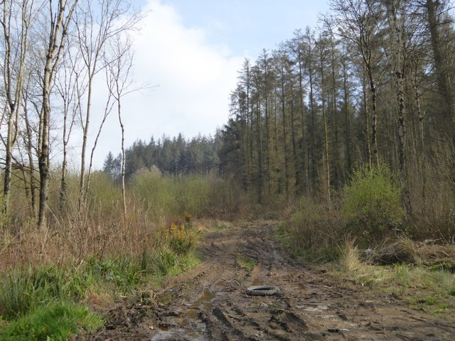
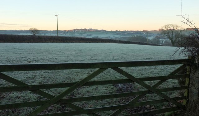
Dogkennel Copse is a picturesque woodland located in Devon, England. Nestled in the heart of the county, this enchanting forest covers an area of approximately 50 acres. It is a popular destination for nature lovers, hikers, and dog walkers alike.

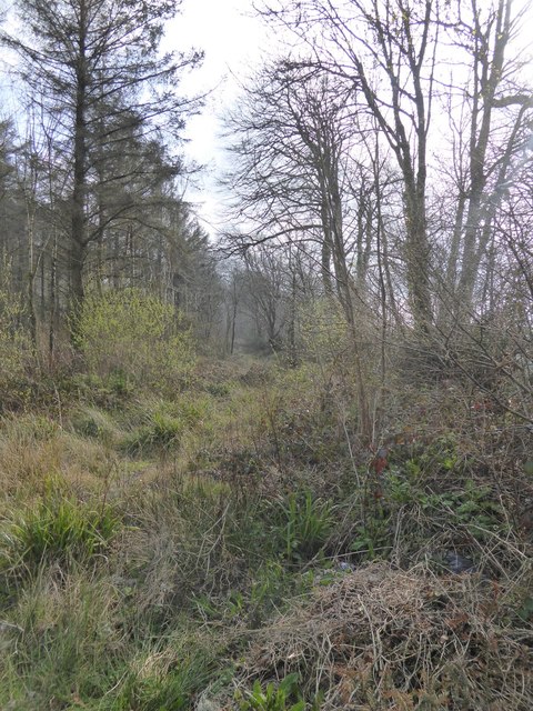
The copse is characterized by a rich diversity of trees, including oak, beech, and birch, which create a lush canopy overhead. The forest floor is adorned with a vibrant carpet of wildflowers, ferns, and mosses, adding to its natural beauty. Several well-maintained footpaths wind their way through the woodland, allowing visitors to explore its hidden treasures.

The tranquil atmosphere of Dogkennel Copse is further enhanced by the presence of wildlife. Bird enthusiasts can spot a variety of species, including woodpeckers, jays, and owls, while small mammals such as squirrels and rabbits can be observed scurrying through the undergrowth. The copse is also home to a diverse range of insects, adding to its ecological significance.

For those seeking solitude and tranquility, Dogkennel Copse offers several secluded spots where one can sit and immerse themselves in the serenity of nature. These peaceful groves provide the perfect escape from the hustle and bustle of everyday life, making it an ideal location for relaxation and meditation.

In conclusion, Dogkennel Copse in Devon is a haven of natural beauty, offering a sanctuary for both humans and wildlife. Its lush woodland, diverse flora and fauna, and peaceful ambience make it a must-visit destination for anyone seeking a connection with nature.

If you have any feedback on the listing, please let us know in the comments section below.

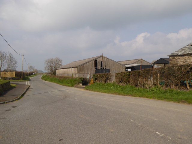
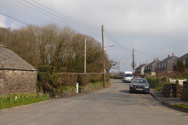
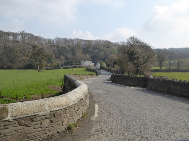
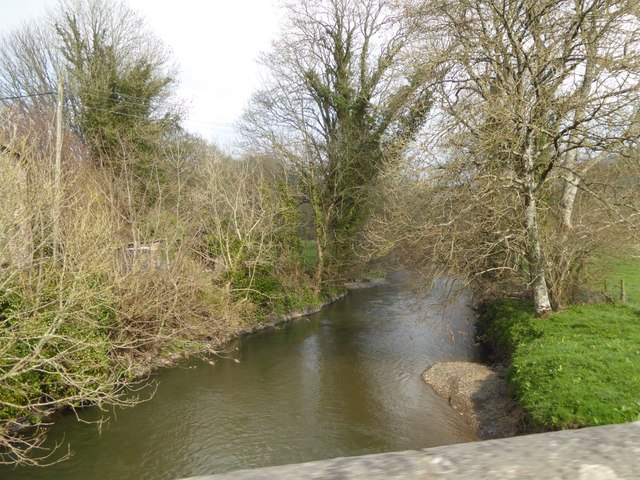
Dogkennel Copse Images

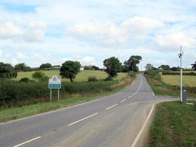
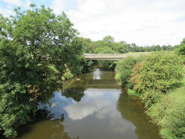
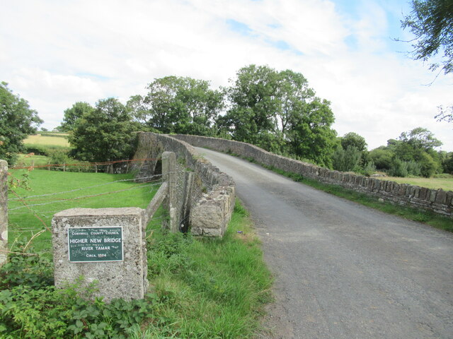
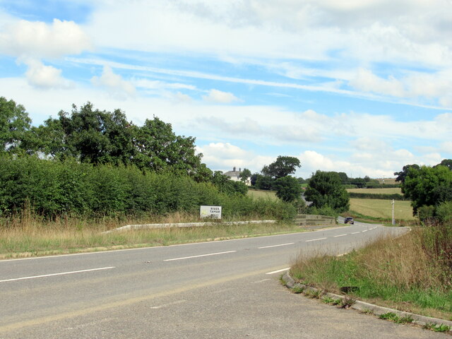
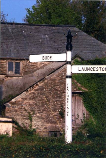
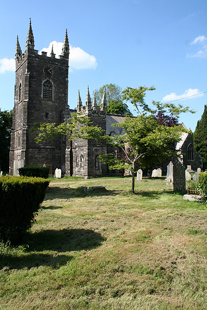
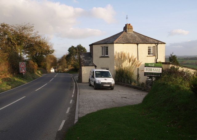
Images are sourced within 2km of 50.661917/-4.3543093 or Grid Reference SX3387. Thanks to Geograph Open Source API. All images are credited.

The Devon border sign at Nether Bridge
The River Tamar at Nether Bridge
Higher New Bridge over the River Tamar
The A388 crossing the River Tamar at Nether Bridge
Launceston town sign on the A388
Barn on minor road north from Ladycross
Looking east through Ladycross
Yeolm Bridge
Yeolm Bridge
River Ottery at Yeolm Bridge
Muddy track in Castlehill Plantation
Scrub in Castlehill Plantation
The edge of Castlehill Plantation The scrub at the edge of the road has been cut back for the benefit of motorists and for the good of the base layer of the woodland
The edge of Castlehill Plantation
The scrub at the edge of the road has been cut back for the benefit of motorists and for the good of the base layer of the woodland
Cross Lanes, St Stephens The footpath drops to give a safe refuge for pedestrians crossing the Roydon Road
Cross Lanes, St Stephens
The footpath drops to give a safe refuge for pedestrians crossing the Roydon Road
Sunrise by Coleman's Cross From beside where <a href="https://www.geograph.org.uk/photo/5258205">SX3586 : Sunrise at Coleman's Cross</a> was taken, looking towards Launceston on a frosty morning.
Sunrise by Coleman's Cross
From beside where SX3586 : Sunrise at Coleman's Cross was taken, looking towards Launceston on a frosty morning.
Old Milestone by the B3254, north of Launceston Carved stone post by the B3254, in parish of ST STEPHENS BY LAUNCESTON RURAL (NORTH CORNWALL District), 200m South West of South Lodge, Werrington Park, on bend at top of hill, on North East side of road. Launceston pillar, erected by the Launceston turnpike trust in the 18th century. 

Inscription reads:-
L
I 
Carved benchmark on top.

Grade II Listed. List Entry Number: 1142913
<span class="nowrap"><a title="https://historicengland.org.uk/listing/the-list/list-entry/1142913" rel="nofollow ugc noopener" href="https://historicengland.org.uk/listing/the-list/list-entry/1142913">Link</a><img style="margin-left:2px;" alt="External link" title="External link - shift click to open in new window" src="https://s1.geograph.org.uk/img/external.png" width="10" height="10"/></span>

Milestone Society National ID: CW_KHLA18.
Old Milestone by the B3254, north of Launceston
Carved stone post by the B3254, in parish of ST STEPHENS BY LAUNCESTON RURAL (NORTH CORNWALL District), 200m South West of South Lodge, Werrington Park, on bend at top of hill, on North East side of road. Launceston pillar, erected by the Launceston turnpike trust in the 18th century. Inscription reads:- L I Carved benchmark on top. Grade II Listed. List Entry Number: 1142913 LinkExternal link Milestone Society National ID: CW_KHLA18.
Old Milestone by the old A388, Higher New Bridge Carved stone post by the A388, in parish of ST STEPHENS BY LAUNCESTON RURAL (NORTH CORNWALL District), Higher New Bridge, in western cutwater refuge of bridge dated "circa 1504", on North West side of road. Launceston pillar, erected by the Launceston turnpike trust in the 18th century. 

Inscription reads:-
L
2 
Carved benchmark on front face.

Grade II Listed. List Entry Number: 1310378
<span class="nowrap"><a title="https://historicengland.org.uk/listing/the-list/list-entry/1310378" rel="nofollow ugc noopener" href="https://historicengland.org.uk/listing/the-list/list-entry/1310378">Link</a><img style="margin-left:2px;" alt="External link" title="External link - shift click to open in new window" src="https://s1.geograph.org.uk/img/external.png" width="10" height="10"/></span>

Milestone Society National ID: CW_LAHO02.
Old Milestone by the old A388, Higher New Bridge
Carved stone post by the A388, in parish of ST STEPHENS BY LAUNCESTON RURAL (NORTH CORNWALL District), Higher New Bridge, in western cutwater refuge of bridge dated "circa 1504", on North West side of road. Launceston pillar, erected by the Launceston turnpike trust in the 18th century. Inscription reads:- L 2 Carved benchmark on front face. Grade II Listed. List Entry Number: 1310378 LinkExternal link Milestone Society National ID: CW_LAHO02.
Crossgate Ford This ford on the River Tamar is found at Crossgate.
Crossgate Ford
This ford on the River Tamar is found at Crossgate.
Old Direction Sign - Signpost by the B3254, Yeolmbridge Spindle finial - Recently refurbished with NEW finial; by the B3254, in parish of St Stephens by Launceston Rural (North Cornwall District), Yeolmbridge, North of bridge, East side of road.

Cornwall and Scilly HER.
HER Number: MCO57747 <span class="nowrap"><a title="https://www.heritagegateway.org.uk/Gateway/Results_Single.aspx?uid=MCO57747&resourceID=1020" rel="nofollow ugc noopener" href="https://www.heritagegateway.org.uk/Gateway/Results_Single.aspx?uid=MCO57747&resourceID=1020">Link</a><img style="margin-left:2px;" alt="External link" title="External link - shift click to open in new window" src="https://s1.geograph.org.uk/img/external.png" width="10" height="10"/></span>

Surveyed

Milestone Society National ID: CW_SX3187
Old Direction Sign - Signpost by the B3254, Yeolmbridge
Spindle finial - Recently refurbished with NEW finial; by the B3254, in parish of St Stephens by Launceston Rural (North Cornwall District), Yeolmbridge, North of bridge, East side of road. Cornwall and Scilly HER. HER Number: MCO57747 LinkExternal link Surveyed Milestone Society National ID: CW_SX3187
Show me another place!

Dogkennel Copse is located at Grid Ref: SX3387 (Lat: 50.661917, Lng: -4.3543093)

Unitary Authority: Cornwall

Police Authority: Devon and Cornwall

What 3 Words

///purse.fruity.fence. Near Werrington, Cornwall

Related Wikis

Werrington, Cornwall

Werrington (Cornish: Trewolvredow) is a civil parish and former manor now in Cornwall, England, United Kingdom. Prior to boundary changes it straddled...

Crossgate Farmhouse

Crossgate Farmhouse is a Grade II listed farmhouse in the civil parish of Werrington, Cornwall, England, UK. It was perhaps built in the 18th century and...

Dutson

Dutson is a hamlet northeast of Launceston in Cornwall, England, and on the A388 main road. It is in the civil parish of St Stephens by Launceston Rural...

Eggbeare

Eggbeare is a hamlet 2 miles (3.2 km) north-east of Launceston in east Cornwall, England. Eggbeare lies at around 94 metres (308 ft) above sea level and...

Nearby Amenities

Located within 500m of 50.661917,-4.3543093
Power: pole
Lat/Long: 50.6645228/-4.3580049
Power: pole
Lat/Long: 50.6652198/-4.3582705
Power: pole
Lat/Long: 50.6650566/-4.3570474
Power: pole
Lat/Long: 50.6648815/-4.3556339
Power: pole
Lat/Long: 50.6628515/-4.3482712
Power: pole
Lat/Long: 50.6631184/-4.3492663
Power: pole
Lat/Long: 50.6633871/-4.3505135
Power: pole
Lat/Long: 50.6638512/-4.3519726
Power: pole
Lat/Long: 50.6641487/-4.3530965
Power: pole
Lat/Long: 50.664465/-4.3541694
Power: pole
Lat/Long: 50.6657894/-4.354738
Power: pole
Lat/Long: 50.665111/-4.3534264
Power: pole
Lat/Long: 50.6643698/-4.3520343
Power: pole
Lat/Long: 50.6637152/-4.3508005
Power: pole
Lat/Long: 50.6629926/-4.349446
Power: pole
Lat/Long: 50.6622904/-4.3480808
The data included in this document is from www.openstreetmap.org. The data is made available under ODbL.

Have you been to Dogkennel Copse?

Leave your review of Dogkennel Copse below (or comments, questions and feedback).