Werrington Mansion

Heritage Site in Devon

England

Werrington Mansion

The Devon border sign at Nether Bridge
The Devon border sign at Nether Bridge Credit: Roy Hughes

Werrington Mansion, located in Devon, is a renowned heritage site that holds historical significance and architectural beauty. The mansion is nestled amidst the picturesque landscape of Werrington Park, encompassing vast acres of lush greenery and gardens.

Originally built in the early 18th century, Werrington Mansion has undergone several transformations over the years, resulting in its current neoclassical style. The mansion boasts an impressive facade with elegant columns, intricate detailing, and a grand entrance. Its symmetrical design and balanced proportions add to its architectural charm.

The interior of Werrington Mansion is equally captivating, showcasing exquisite craftsmanship and opulent decor. Visitors can explore the lavishly furnished rooms, adorned with ornate plasterwork, rich tapestries, and beautiful paintings. The mansion also houses a remarkable collection of antique furniture, showcasing the tastes and styles of the past.

Surrounding the mansion are stunning landscaped gardens that have been meticulously maintained. The gardens feature a variety of plants, including rare and exotic species, and offer a peaceful retreat for visitors. Notable features include a serene lake, a walled garden with vibrant flowers, and an impressive orangery.

Werrington Mansion holds great historical significance, having been home to prominent families throughout its existence. It has witnessed various events and hosted distinguished guests, contributing to its cultural heritage.

Today, Werrington Mansion is open to the public, allowing visitors to explore its rich history and appreciate its architectural splendor. It also serves as a venue for special events, such as weddings and cultural exhibitions, providing a unique backdrop for memorable experiences.

If you have any feedback on the listing, please let us know in the comments section below.

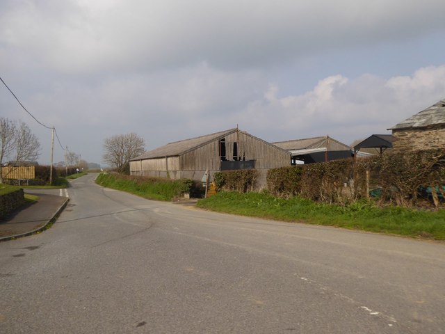
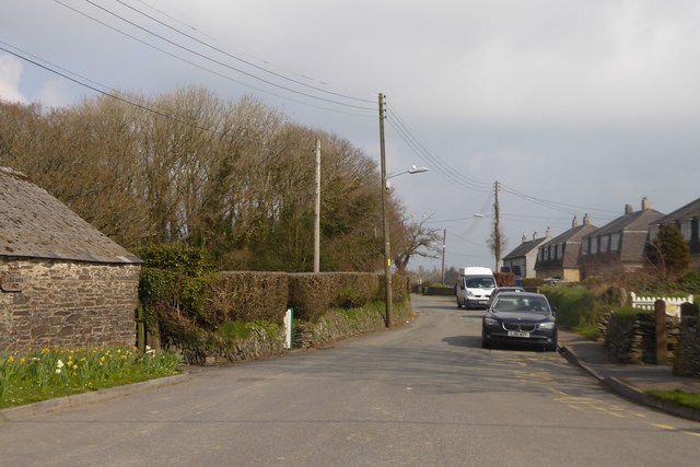
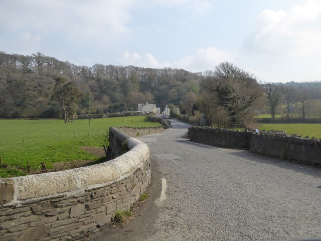
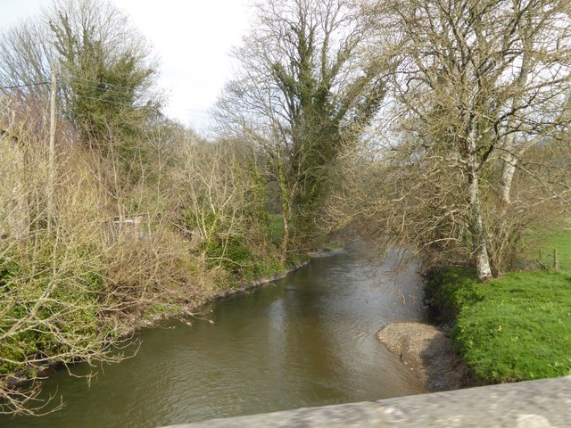
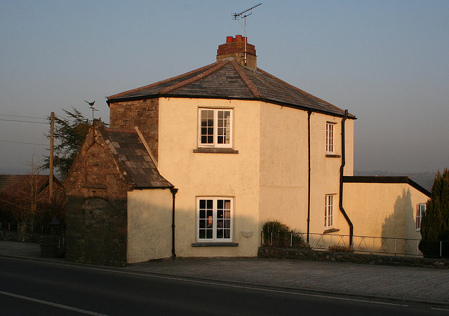
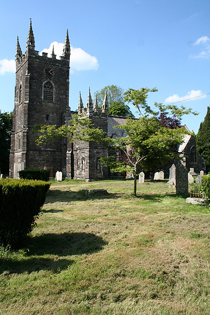
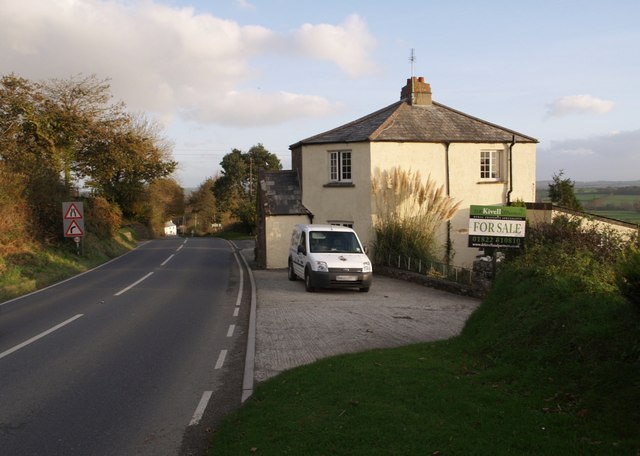
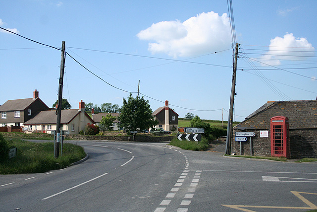
Werrington Mansion Images

Images are sourced within 2km of 50.663/-4.357 or Grid Reference SX3387. Thanks to Geograph Open Source API. All images are credited.

The Devon border sign at Nether Bridge
The River Tamar at Nether Bridge
Higher New Bridge over the River Tamar
The A388 crossing the River Tamar at Nether Bridge
Launceston town sign on the A388
Barn on minor road north from Ladycross
Looking east through Ladycross
Yeolm Bridge
Yeolm Bridge
River Ottery at Yeolm Bridge
Muddy track in Castlehill Plantation
Scrub in Castlehill Plantation
The edge of Castlehill Plantation The scrub at the edge of the road has been cut back for the benefit of motorists and for the good of the base layer of the woodland
The edge of Castlehill Plantation
The scrub at the edge of the road has been cut back for the benefit of motorists and for the good of the base layer of the woodland
Cross Lanes, St Stephens The footpath drops to give a safe refuge for pedestrians crossing the Roydon Road
Cross Lanes, St Stephens
The footpath drops to give a safe refuge for pedestrians crossing the Roydon Road
Old Milestone by the B3254, north of Launceston Carved stone post by the B3254, in parish of ST STEPHENS BY LAUNCESTON RURAL (NORTH CORNWALL District), 200m South West of South Lodge, Werrington Park, on bend at top of hill, on North East side of road. Launceston pillar, erected by the Launceston turnpike trust in the 18th century. 

Inscription reads:-
L
I 
Carved benchmark on top.

Grade II Listed. List Entry Number: 1142913
<span class="nowrap"><a title="https://historicengland.org.uk/listing/the-list/list-entry/1142913" rel="nofollow ugc noopener" href="https://historicengland.org.uk/listing/the-list/list-entry/1142913">Link</a><img style="margin-left:2px;" alt="External link" title="External link - shift click to open in new window" src="https://s1.geograph.org.uk/img/external.png" width="10" height="10"/></span>

Milestone Society National ID: CW_KHLA18.
Old Milestone by the B3254, north of Launceston
Carved stone post by the B3254, in parish of ST STEPHENS BY LAUNCESTON RURAL (NORTH CORNWALL District), 200m South West of South Lodge, Werrington Park, on bend at top of hill, on North East side of road. Launceston pillar, erected by the Launceston turnpike trust in the 18th century. Inscription reads:- L I Carved benchmark on top. Grade II Listed. List Entry Number: 1142913 LinkExternal link Milestone Society National ID: CW_KHLA18.
Old Milestone by the old A388, Higher New Bridge Carved stone post by the A388, in parish of ST STEPHENS BY LAUNCESTON RURAL (NORTH CORNWALL District), Higher New Bridge, in western cutwater refuge of bridge dated "circa 1504", on North West side of road. Launceston pillar, erected by the Launceston turnpike trust in the 18th century. 

Inscription reads:-
L
2 
Carved benchmark on front face.

Grade II Listed. List Entry Number: 1310378
<span class="nowrap"><a title="https://historicengland.org.uk/listing/the-list/list-entry/1310378" rel="nofollow ugc noopener" href="https://historicengland.org.uk/listing/the-list/list-entry/1310378">Link</a><img style="margin-left:2px;" alt="External link" title="External link - shift click to open in new window" src="https://s1.geograph.org.uk/img/external.png" width="10" height="10"/></span>

Milestone Society National ID: CW_LAHO02.
Old Milestone by the old A388, Higher New Bridge
Carved stone post by the A388, in parish of ST STEPHENS BY LAUNCESTON RURAL (NORTH CORNWALL District), Higher New Bridge, in western cutwater refuge of bridge dated "circa 1504", on North West side of road. Launceston pillar, erected by the Launceston turnpike trust in the 18th century. Inscription reads:- L 2 Carved benchmark on front face. Grade II Listed. List Entry Number: 1310378 LinkExternal link Milestone Society National ID: CW_LAHO02.
Crossgate Ford This ford on the River Tamar is found at Crossgate.
Crossgate Ford
This ford on the River Tamar is found at Crossgate.
Old Direction Sign - Signpost by the B3254, Yeolmbridge Spindle finial - Recently refurbished with NEW finial; by the B3254, in parish of St Stephens by Launceston Rural (North Cornwall District), Yeolmbridge, North of bridge, East side of road.

Cornwall and Scilly HER.
HER Number: MCO57747 <span class="nowrap"><a title="https://www.heritagegateway.org.uk/Gateway/Results_Single.aspx?uid=MCO57747&resourceID=1020" rel="nofollow ugc noopener" href="https://www.heritagegateway.org.uk/Gateway/Results_Single.aspx?uid=MCO57747&resourceID=1020">Link</a><img style="margin-left:2px;" alt="External link" title="External link - shift click to open in new window" src="https://s1.geograph.org.uk/img/external.png" width="10" height="10"/></span>

Surveyed

Milestone Society National ID: CW_SX3187
Old Direction Sign - Signpost by the B3254, Yeolmbridge
Spindle finial - Recently refurbished with NEW finial; by the B3254, in parish of St Stephens by Launceston Rural (North Cornwall District), Yeolmbridge, North of bridge, East side of road. Cornwall and Scilly HER. HER Number: MCO57747 LinkExternal link Surveyed Milestone Society National ID: CW_SX3187
Dutson Tollhouse by the A338, Dutson Tollhouse by the A388, in the parish of St. Stephens by Launceston Rural (North Cornwall District), Old Toll House, Homeleigh, Dutson, PL15 9SP.

Grade II listed.
List Entry Number: 1142915 <span class="nowrap"><a title="https://historicengland.org.uk/listing/the-list/list-entry/1142915" rel="nofollow ugc noopener" href="https://historicengland.org.uk/listing/the-list/list-entry/1142915">Link</a><img style="margin-left:2px;" alt="External link" title="External link - shift click to open in new window" src="https://s1.geograph.org.uk/img/external.png" width="10" height="10"/></span>

Surveyed

Milestone Society National ID: CW.SSL02
Dutson Tollhouse by the A338, Dutson
Tollhouse by the A388, in the parish of St. Stephens by Launceston Rural (North Cornwall District), Old Toll House, Homeleigh, Dutson, PL15 9SP. Grade II listed. List Entry Number: 1142915 LinkExternal link Surveyed Milestone Society National ID: CW.SSL02
Show me another place!

Werrington Mansion is located at Grid Ref: SX3387 (Lat: 50.663, Lng: -4.357)

Unitary Authority: Cornwall

Police Authority: Devon and Cornwall

What 3 Words

///ironclad.acrobats.rationing. Near Werrington, Cornwall

Related Wikis

Werrington, Cornwall

Werrington (Cornish: Trewolvredow) is a civil parish and former manor now in Cornwall, England, United Kingdom. Prior to boundary changes it straddled...

Crossgate Farmhouse

Crossgate Farmhouse is a Grade II listed farmhouse in the civil parish of Werrington, Cornwall, England, UK. It was perhaps built in the 18th century and...

Eggbeare

Eggbeare is a hamlet 2 miles (3.2 km) north-east of Launceston in east Cornwall, England. Eggbeare lies at around 94 metres (308 ft) above sea level and...

Dutson

Dutson is a hamlet northeast of Launceston in Cornwall, England, and on the A388 main road. It is in the civil parish of St Stephens by Launceston Rural...

Yeolmbridge

Yeolmbridge is a village in Cornwall (but within the boundaries of the historic county of Devon), two and a half miles north of Launceston. == Yeolm... ==

Ladycross

Ladycross is a hamlet near Werrington (where the population of the 2011 census was included.) in Cornwall, England. It is on the B3254 road half a mile...

St Stephens by Launceston Rural

St Stephens by Launceston Rural is a civil parish in the east of Cornwall, England, United Kingdom. It is in the Registration district of Launceston. The...

Bridgetown, Cornwall

Bridgetown is a hamlet in the parish of Werrington, Cornwall. It has a Methodist chapel. == References ==

Nearby Amenities

Located within 500m of 50.663,-4.357
Power: pole
Lat/Long: 50.6669641/-4.3571815
Power: pole
Lat/Long: 50.6664201/-4.3559691
Power: pole
Lat/Long: 50.6645228/-4.3580049
Power: pole
Lat/Long: 50.6655293/-4.3607676
Power: pole
Lat/Long: 50.6653473/-4.3595767
Power: pole
Lat/Long: 50.6652198/-4.3582705
Power: pole
Lat/Long: 50.6650566/-4.3570474
Power: pole
Lat/Long: 50.6648815/-4.3556339
Power: pole
Lat/Long: 50.6633871/-4.3505135
Power: pole
Lat/Long: 50.6638512/-4.3519726
Power: pole
Lat/Long: 50.6641487/-4.3530965
Power: pole
Lat/Long: 50.664465/-4.3541694
Power: pole
Lat/Long: 50.6657894/-4.354738
Power: pole
Lat/Long: 50.665111/-4.3534264
Power: pole
Lat/Long: 50.6643698/-4.3520343
Power: pole
Lat/Long: 50.6637152/-4.3508005
The data included in this document is from www.openstreetmap.org. The data is made available under ODbL.

Have you been to Werrington Mansion?

Leave your review of Werrington Mansion below (or comments, questions and feedback).