Bara Copse

Wood, Forest in Cornwall

England

Bara Copse

Trees screening the farm buildings at Langdon Farm
Trees screening the farm buildings at Langdon Farm Credit: David Smith

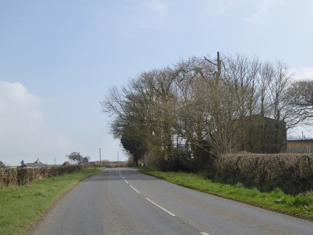
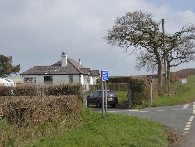
Bara Copse is a picturesque woodland located in Cornwall, England. Nestled within the serene countryside, this enchanting forest covers an area of approximately 20 acres. It is situated near the village of Bara and is easily accessible by a well-maintained footpath.

The copse is primarily composed of native broadleaf trees, including oak, beech, and ash, which create a dense and lush canopy that provides shade and shelter for a variety of wildlife. The forest floor is adorned with a wide array of wildflowers, ferns, and mosses, adding to its natural beauty.

Bara Copse offers a tranquil retreat for nature enthusiasts and outdoor lovers. Visitors can explore the copse through a network of winding trails, which meander through the trees and reveal hidden clearings and peaceful glades. The peaceful ambience makes it an ideal spot for walking, birdwatching, or simply enjoying a quiet picnic amidst nature.

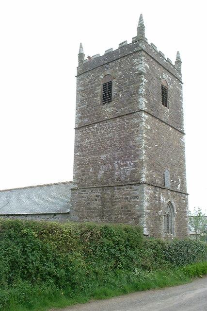
The copse is not only a haven for flora and fauna but also holds historical significance. It is believed to have been part of an ancient woodland, dating back centuries. Remnants of old stone walls and abandoned mine workings can still be found, serving as a testament to the area's past.

With its natural beauty, diverse wildlife, and historical charm, Bara Copse is a must-visit destination for those seeking a peaceful and immersive experience in the heart of Cornwall's countryside.

If you have any feedback on the listing, please let us know in the comments section below.
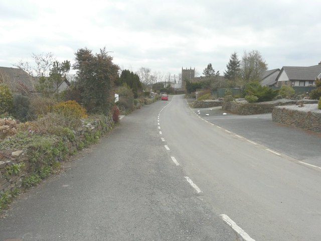
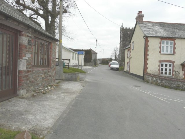
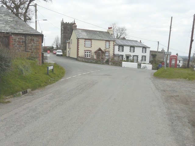
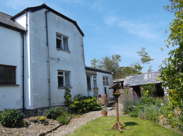
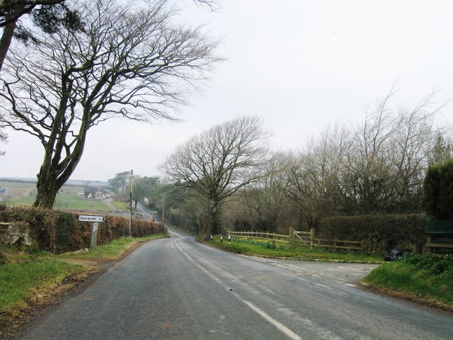
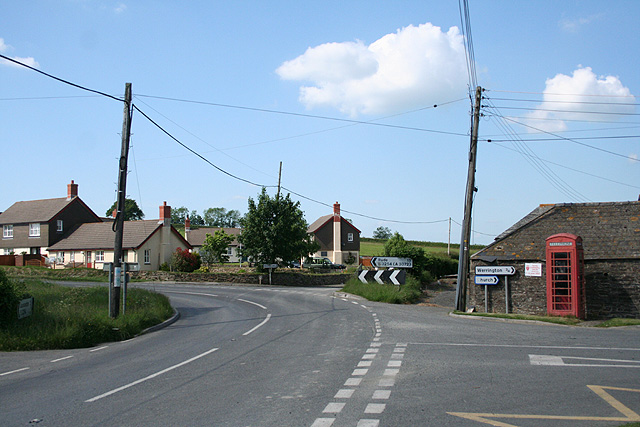
Bara Copse Images

Images are sourced within 2km of 50.697102/-4.3962467 or Grid Reference SX3091. Thanks to Geograph Open Source API. All images are credited.

Trees screening the farm buildings at Langdon Farm
The road junction south of Langdon Farm A solitary bungalow marks this junction
The road junction south of Langdon Farm
A solitary bungalow marks this junction
Valley south of Hillside on B3254
Old Direction Sign - Signpost in Boyton Pyramid spear finial - 3 arms; Cornwall CC iron spear by the UC road, in parish of Boyton (North Cornwall District), in front of terraced houses, on verge, West side of road.

Cornwall & Scilly HER.
HER Number: MCO57744 <span class="nowrap"><a title="https://www.heritagegateway.org.uk/Gateway/Results_Single.aspx?uid=MCO57744&resourceID=1020" rel="nofollow ugc noopener" href="https://www.heritagegateway.org.uk/Gateway/Results_Single.aspx?uid=MCO57744&resourceID=1020">Link</a><img style="margin-left:2px;" alt="External link" title="External link - shift click to open in new window" src="https://s1.geograph.org.uk/img/external.png" width="10" height="10"/></span>

Surveyed

Milestone Society National ID: CW_SX3191
Old Direction Sign - Signpost in Boyton
Pyramid spear finial - 3 arms; Cornwall CC iron spear by the UC road, in parish of Boyton (North Cornwall District), in front of terraced houses, on verge, West side of road. Cornwall & Scilly HER. HER Number: MCO57744 LinkExternal link Surveyed Milestone Society National ID: CW_SX3191
Holy Name church, Boyton, Cornwall
Looking along Underlane Towards the church tower of Holy Name.
Looking along Underlane
Towards the church tower of Holy Name.
Looking along Underlane With the church tower of Holy Name on the right.
Looking along Underlane
With the church tower of Holy Name on the right.
The road through Boyton With the name-plate for Underhill (the road to the left) on the grass verge and the church tower of Holy Name beyond.
The road through Boyton
With the name-plate for Underhill (the road to the left) on the grass verge and the church tower of Holy Name beyond.
Downhayes Cottage The present structure comprises an original early nineteenth century cottage (nearest the lane) with a more recent extension built on at right angles. Some of the original outbuildings still stand (see right of picture). Down Hays (so spelt in the Census of 1841) was one of a number of cottages on the estate of Polapit Tamar which was owned during the nineteenth century by Edward Coode. Polapit Tamar House still stands, as does Wilkie (formerly Wilkey) Down cottage. All three properties are just off the Boyton to Yeolmbridge Road.
Downhayes Cottage
The present structure comprises an original early nineteenth century cottage (nearest the lane) with a more recent extension built on at right angles. Some of the original outbuildings still stand (see right of picture). Down Hays (so spelt in the Census of 1841) was one of a number of cottages on the estate of Polapit Tamar which was owned during the nineteenth century by Edward Coode. Polapit Tamar House still stands, as does Wilkie (formerly Wilkey) Down cottage. All three properties are just off the Boyton to Yeolmbridge Road.
Ordnance Survey Flush Bracket S5212 This can be found on the wall of a building at Bennacott.
For more detail see : <span class="nowrap"><a title="http://www.bench-marks.org.uk/bm20815" rel="nofollow ugc noopener" href="http://www.bench-marks.org.uk/bm20815">Link</a><img style="margin-left:2px;" alt="External link" title="External link - shift click to open in new window" src="https://s1.geograph.org.uk/img/external.png" width="10" height="10"/></span>
Ordnance Survey Flush Bracket S5212
This can be found on the wall of a building at Bennacott. For more detail see : LinkExternal link
Old Milestone by the B3254, south of Bennacott Carved stone post by the B3254, in parish of BOYTON (NORTH CORNWALL District), Bennacott; opposite Bennacott Kennels and Cattery, by the road, on East side of road. Kilkhampton County stone, erected by the Launceston turnpike trust in the 18th century. 

Inscription reads:-
L
5
BUDE
14
KILK
14
HAMPTON   

Grade II Listed. List Entry Number: 1328013
<span class="nowrap"><a title="https://historicengland.org.uk/listing/the-list/list-entry/1328013" rel="nofollow ugc noopener" href="https://historicengland.org.uk/listing/the-list/list-entry/1328013">Link</a><img style="margin-left:2px;" alt="External link" title="External link - shift click to open in new window" src="https://s1.geograph.org.uk/img/external.png" width="10" height="10"/></span>

Milestone Society National ID: CW_KHLA14.
Old Milestone by the B3254, south of Bennacott
Carved stone post by the B3254, in parish of BOYTON (NORTH CORNWALL District), Bennacott; opposite Bennacott Kennels and Cattery, by the road, on East side of road. Kilkhampton County stone, erected by the Launceston turnpike trust in the 18th century. Inscription reads:- L 5 BUDE 14 KILK 14 HAMPTON Grade II Listed. List Entry Number: 1328013 LinkExternal link Milestone Society National ID: CW_KHLA14.
Old Milestone by the B3254 south of Bennacott Carved stone post by the B3254, in parish of BOYTON (NORTH CORNWALL District), Bennacott; opposite Bennacott Kennels and Cattery, by the road, on East side of road. Kilkhampton County stone, erected by the Launceston turnpike trust in the 18th century. 

Inscription reads:-
L
5
BUDE
14
KILK
14
HAMPTON 

Grade II listed.
List Entry Number: 1328013 <span class="nowrap"><a title="https://historicengland.org.uk/listing/the-list/list-entry/1328013" rel="nofollow ugc noopener" href="https://historicengland.org.uk/listing/the-list/list-entry/1328013">Link</a><img style="margin-left:2px;" alt="External link" title="External link - shift click to open in new window" src="https://s1.geograph.org.uk/img/external.png" width="10" height="10"/></span>
  
Milestone Society National ID: CW_KHLA14.
Old Milestone by the B3254 south of Bennacott
Carved stone post by the B3254, in parish of BOYTON (NORTH CORNWALL District), Bennacott; opposite Bennacott Kennels and Cattery, by the road, on East side of road. Kilkhampton County stone, erected by the Launceston turnpike trust in the 18th century. Inscription reads:- L 5 BUDE 14 KILK 14 HAMPTON Grade II listed. List Entry Number: 1328013 LinkExternal link Milestone Society National ID: CW_KHLA14.
Bennacott Chapel
Bennacott Chapel
B3254 northbound
B3254 northbound
Lane near Godcott Farm A line of oaks beside the lane as it approaches the farm.
Lane near Godcott Farm
A line of oaks beside the lane as it approaches the farm.
Lane near Godcott Farm Dropping between banks and trees to cross the Bolesbridge Water.
Lane near Godcott Farm
Dropping between banks and trees to cross the Bolesbridge Water.
Lane past Forda At the junction with the entrance to Forda Cottage (right). The farmhouse at Forda, ahead, has fine chimney stacks. "1844 ...  Vestigial Gothic style" <span class="nowrap"><a title="http://list.historicengland.org.uk/resultsingle.aspx?uid=1160350&searchtype=mapsearch" rel="nofollow ugc noopener" href="http://list.historicengland.org.uk/resultsingle.aspx?uid=1160350&searchtype=mapsearch">Link</a><img style="margin-left:2px;" alt="External link" title="External link - shift click to open in new window" src="https://s1.geograph.org.uk/img/external.png" width="10" height="10"/></span> .
Lane past Forda
At the junction with the entrance to Forda Cottage (right). The farmhouse at Forda, ahead, has fine chimney stacks. "1844 ... Vestigial Gothic style" LinkExternal link .
Towards North Petherwin The church tower at North Petherwin can be made out on the right. This gateway is by the lane shown in <a href="https://www.geograph.org.uk/photo/4391351">SX2890 : Lane near Godcott Farm</a>.
Towards North Petherwin
The church tower at North Petherwin can be made out on the right. This gateway is by the lane shown in SX2890 : Lane near Godcott Farm.
Show me another place!

Bara Copse is located at Grid Ref: SX3091 (Lat: 50.697102, Lng: -4.3962467)

Unitary Authority: Cornwall

Police Authority: Devon and Cornwall

What 3 Words

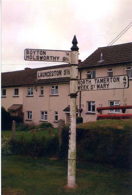
///blurs.crouching.gain. Near Boyton, Cornwall

Nearby Locations

Bara Copse Beer, North

Related Wikis

North Beer

North Beer is a hamlet in the parish of Boyton in north Cornwall, England. North Beer is west of Boyton. == References ==

Boyton, Cornwall

Boyton (Cornish: Trevoya) is a civil parish and village in Cornwall, England, United Kingdom. It is situated close to the River Tamar and the border with...

Langdon, Cornwall

Langdon is a hamlet in north Cornwall approximately five miles north of Launceston; it is west of Canworthy. Langdon sits at 50.6839’ latitude and -4.40239954...

Bennacott

Bennacott is a village in east Cornwall, England, in the United Kingdom. It is five miles (8 km) north of Launceston and in the parish of Boyton. ��2...

Bodgate

Bodgate is a farmstead in east Cornwall, England, United Kingdom. It is situated in North Petherwin civil parish about 0.5 miles (0.80 km) south of North...

Curry Lane

Curry Lane is a hamlet in the parish of Boyton Cornwall, England. == References ==

Luffincott

Luffincott is a civil parish in the far west of Devon, England. It forms part of the local government district of Torridge and lies about six miles south...

Ladycross

Ladycross is a hamlet near Werrington (where the population of the 2011 census was included.) in Cornwall, England. It is on the B3254 road half a mile...

Nearby Amenities

Located within 500m of 50.697102,-4.3962467
South Beer
Is In: Cornwall, England, UK
Place: hamlet
Source: NPE
Lat/Long: 50.6982338/-4.3977553
The data included in this document is from www.openstreetmap.org. The data is made available under ODbL.

Have you been to Bara Copse?

Leave your review of Bara Copse below (or comments, questions and feedback).