Little Trenant Wood
Wood, Forest in Cornwall
England
Little Trenant Wood

Little Trenant Wood, located in Cornwall, is a charming woodland area nestled in the southwestern part of England. Covering a relatively small area, the wood is renowned for its natural beauty and tranquil atmosphere. Surrounded by picturesque countryside, it offers a peaceful retreat for nature lovers and outdoor enthusiasts alike.
The wood is predominantly composed of native broadleaf trees, such as oak, beech, and ash, which create a dense canopy overhead. These trees provide a habitat for a diverse range of wildlife species, including birds, squirrels, and various insects. Walking through the wood, visitors can often spot woodland flowers and plants, adding a splash of color to the serene surroundings.
Little Trenant Wood features well-maintained footpaths and trails, allowing visitors to explore its enchanting landscape. These trails wind through the wood, taking visitors on a journey through the changing scenery. The wood offers a tranquil setting for leisurely strolls, birdwatching, and even picnics.
Located near the village of Looe, Little Trenant Wood is easily accessible for both locals and tourists. Its close proximity to the coast allows visitors to combine a woodland walk with a trip to the nearby beaches and coastline, providing a diverse range of outdoor experiences in one location.
Overall, Little Trenant Wood is a hidden gem in Cornwall, offering a peaceful and idyllic escape from the hustle and bustle of everyday life. Its natural beauty, diverse wildlife, and accessibility make it a must-visit destination for nature enthusiasts and those seeking a tranquil retreat in the heart of Cornwall.
If you have any feedback on the listing, please let us know in the comments section below.
Little Trenant Wood Images
Images are sourced within 2km of 50.456507/-4.4103249 or Grid Reference SX2964. Thanks to Geograph Open Source API. All images are credited.


Little Trenant Wood is located at Grid Ref: SX2964 (Lat: 50.456507, Lng: -4.4103249)
Unitary Authority: Cornwall
Police Authority: Devon and Cornwall
What 3 Words
///exhale.buildings.video. Near Liskeard, Cornwall
Nearby Locations
Related Wikis

Pengover Green
Pengover Green is a hamlet east of Liskeard in east Cornwall, England. == Local Industry == Local abattoir, Peake (GB) Limited is situated 900m southwest...

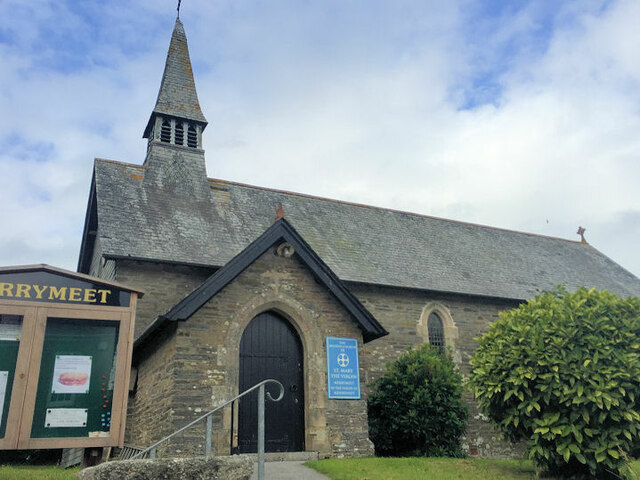
Merrymeet
Merrymeet is a village in north of the parish of Menheniot in east Cornwall, England. Merrymeet is on the A390 main road.During the Blitz in World War...

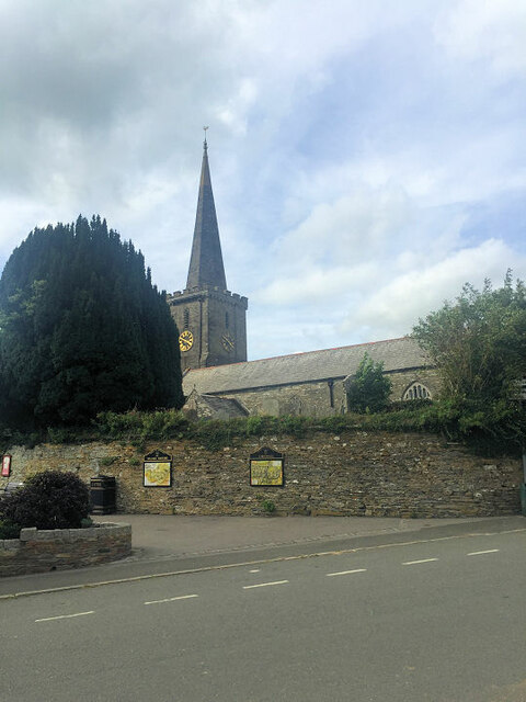
Menheniot
Menheniot (pronounced Men-en-yut; Cornish: Mahynyet) is a civil parish and village in Cornwall, England, United Kingdom. The village is 2+1⁄2 miles (4...

Bodway
Bodway is a hamlet in Cornwall, England, UK. It is situated 0.8 km (0.5 mi) southeast of the village of Menheniot, within the civil parish of the same...
Nearby Amenities
Located within 500m of 50.456507,-4.4103249Have you been to Little Trenant Wood?
Leave your review of Little Trenant Wood below (or comments, questions and feedback).