Bathpool Wood

Wood, Forest in Cornwall

England

Bathpool Wood

Former Wesleyan Methodist Chapel
Former Wesleyan Methodist Chapel Credit: Paul Barnett

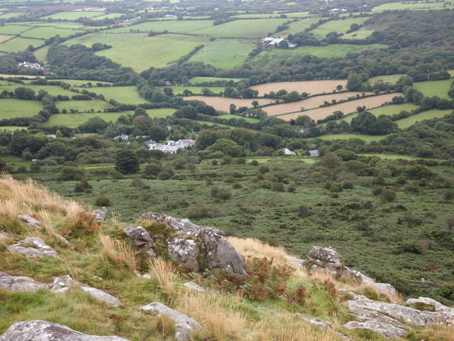
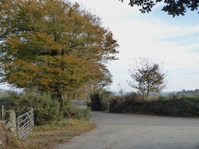
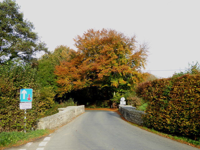
Bathpool Wood is a captivating woodland located in the county of Cornwall, England. Situated near the village of Truro, it covers an area of approximately 40 hectares and is known for its natural beauty and diverse ecosystem. The wood is easily accessible, with a network of footpaths and trails allowing visitors to explore its enchanting surroundings.

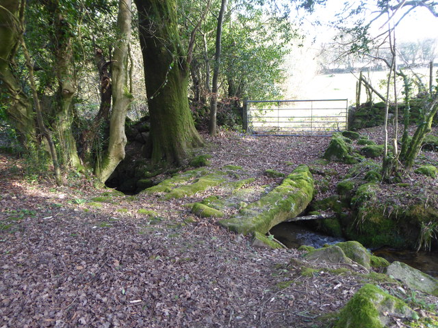
This ancient woodland is primarily composed of mixed broadleaf trees, including oak, beech, and ash, which create a dense canopy overhead. The forest floor is adorned with a rich carpet of ferns, wildflowers, and mosses, adding to its picturesque charm. Bathpool Wood is also home to a variety of wildlife, with squirrels, badgers, and numerous bird species among its inhabitants.

The wood has a tranquil atmosphere, perfect for those seeking respite from the bustle of everyday life. Visitors can enjoy leisurely walks, picnic areas, and wildlife spotting opportunities throughout the year. In spring, the woodland is adorned with vibrant bluebells, creating a breathtaking scene.

The management of Bathpool Wood is overseen by the Cornwall Wildlife Trust, who work tirelessly to preserve and enhance its natural habitat. They conduct regular conservation work, including tree planting and maintaining the footpaths to ensure the woodland remains accessible and enjoyable for all.

Bathpool Wood is a cherished gem in the Cornwall countryside, offering visitors the chance to immerse themselves in nature's embrace and indulge in its tranquil beauty.

If you have any feedback on the listing, please let us know in the comments section below.

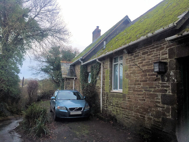
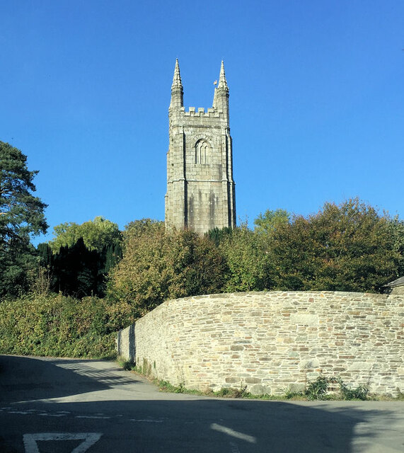
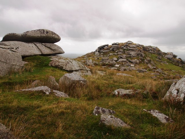
Bathpool Wood Images

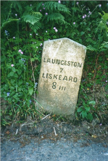
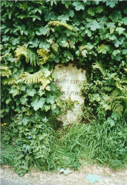
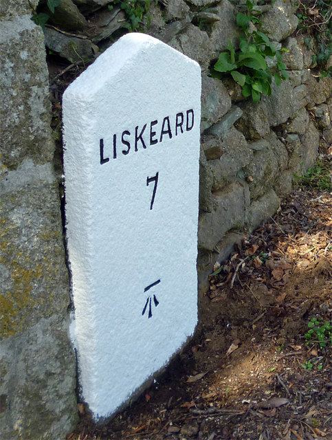
Images are sourced within 2km of 50.549751/-4.4333323 or Grid Reference SX2775. Thanks to Geograph Open Source API. All images are credited.

Former Wesleyan Methodist Chapel
St Torney's Church
St Torney's Church
Henwood From Sharp Tor
Bearah Tor
Bearah Tor
Treovis Cross A crossroads on the B3254 that is more or less on a grid line. The right turn here is shown in <a href="https://www.geograph.org.uk/photo/4446942">SX2873 : Lane to Treovis</a>.
Treovis Cross
A crossroads on the B3254 that is more or less on a grid line. The right turn here is shown in SX2873 : Lane to Treovis.
Darley Farm From the same place on the B3254 as <a href="https://www.geograph.org.uk/photo/4447026">SX2772 : B3254 approaching Darleyford</a> looking across the valley of a tributary of the Lynher, and a grid line. Amid the farming hamlet is the listed farmhouse <span class="nowrap"><a title="http://www.historicengland.org.uk/listing/the-list/list-entry/1329173" rel="nofollow ugc noopener" href="http://www.historicengland.org.uk/listing/the-list/list-entry/1329173">Link</a><img style="margin-left:2px;" alt="External link" title="External link - shift click to open in new window" src="https://s1.geograph.org.uk/img/external.png" width="10" height="10"/></span> . Behind is Darley Wood.
Darley Farm
From the same place on the B3254 as SX2772 : B3254 approaching Darleyford looking across the valley of a tributary of the Lynher, and a grid line. Amid the farming hamlet is the listed farmhouse LinkExternal link . Behind is Darley Wood.
Across the Lynher valley From the same spot as <a href="https://www.geograph.org.uk/photo/4449140">SX2676 : Lynher valley near North Hill</a>, looking to the right, with overlap. The farm on the far slopes is East Castick. Again, Bowdanoddon Wood is on the horizon.
Across the Lynher valley
From the same spot as SX2676 : Lynher valley near North Hill, looking to the right, with overlap. The farm on the far slopes is East Castick. Again, Bowdanoddon Wood is on the horizon.
Silage bales at Kingbeare
The lane leading from Kingbeare to Botternell
Beriow Bridge over the River Lynher A Scheduled Monument and also Grade II* Listed. Dating from circa mid C16, repaired in 1640 (datestone) and widened on the upper side in 1890.
Beriow Bridge over the River Lynher
A Scheduled Monument and also Grade II* Listed. Dating from circa mid C16, repaired in 1640 (datestone) and widened on the upper side in 1890.
The tower of the Church of St Torney, North Hill Largely late C15 or early C16 and with some C14 internal details.  Grade I Listed.
The tower of the Church of St Torney, North Hill
Largely late C15 or early C16 and with some C14 internal details. Grade I Listed.
Cottages in North Hill Dating from early C19, all three cottages are Grade II Listed.
Cottages in North Hill
Dating from early C19, all three cottages are Grade II Listed.
Old Milestone by the B3254, north of Berriowbridge Carved stone post by the B3254, in parish of NORTH HILL (NORTH CORNWALL District), 160m North of East Berriow, in Cornish hedge on steep narrow descent, on East side of road. Liskeard iii stone, erected by the Local Highways Board in the 19th century. 

Inscription reads:-
LAUNCESTON
7
LISKEARD
8iii 

Grade II Listed. List Entry Number: 1249711
<span class="nowrap"><a title="https://historicengland.org.uk/listing/the-list/list-entry/1249711" rel="nofollow ugc noopener" href="https://historicengland.org.uk/listing/the-list/list-entry/1249711">Link</a><img style="margin-left:2px;" alt="External link" title="External link - shift click to open in new window" src="https://s1.geograph.org.uk/img/external.png" width="10" height="10"/></span>

Milestone Society National ID: CW_LALK07.
Old Milestone by the B3254, north of Berriowbridge
Carved stone post by the B3254, in parish of NORTH HILL (NORTH CORNWALL District), 160m North of East Berriow, in Cornish hedge on steep narrow descent, on East side of road. Liskeard iii stone, erected by the Local Highways Board in the 19th century. Inscription reads:- LAUNCESTON 7 LISKEARD 8iii Grade II Listed. List Entry Number: 1249711 LinkExternal link Milestone Society National ID: CW_LALK07.
Old Milestone by the B3254 at Botternell Carved stone post by the B3254, in parish of NORTH HILL (NORTH CORNWALL District), opposite Botternell farmhouse, against Cornish hedge, on West side of road. Liskeard iii stone, erected by the Local Highways Board in the 19th century. 

Inscription reads:-
LAUNCESTON
8 
LISKEARD
7iii (7¾)  

Grade II Listed. List Entry Number: 1249563
<span class="nowrap"><a title="https://historicengland.org.uk/listing/the-list/list-entry/1249563" rel="nofollow ugc noopener" href="https://historicengland.org.uk/listing/the-list/list-entry/1249563">Link</a><img style="margin-left:2px;" alt="External link" title="External link - shift click to open in new window" src="https://s1.geograph.org.uk/img/external.png" width="10" height="10"/></span>

Milestone Society National ID: CW_LALK08.
Old Milestone by the B3254 at Botternell
Carved stone post by the B3254, in parish of NORTH HILL (NORTH CORNWALL District), opposite Botternell farmhouse, against Cornish hedge, on West side of road. Liskeard iii stone, erected by the Local Highways Board in the 19th century. Inscription reads:- LAUNCESTON 8 LISKEARD 7iii (7¾) Grade II Listed. List Entry Number: 1249563 LinkExternal link Milestone Society National ID: CW_LALK08.
Old Milestone by the B3254 at North Darley Carved stone post by the B3254, in parish of LINKINHORNE (CARADON District), North Darley, against wall beside entrance to Darley House, on West side of road. Gravestone, erected by the Local Highways Board in the 19th century. 

Inscription reads:-
LISKEARD
7 
Carved benchmark on lower face.

Grade II Listed. List Entry Number: 1311190
<span class="nowrap"><a title="https://historicengland.org.uk/listing/the-list/list-entry/1311190" rel="nofollow ugc noopener" href="https://historicengland.org.uk/listing/the-list/list-entry/1311190">Link</a><img style="margin-left:2px;" alt="External link" title="External link - shift click to open in new window" src="https://s1.geograph.org.uk/img/external.png" width="10" height="10"/></span>

Milestone Society National ID: CW_LKLA07.
Old Milestone by the B3254 at North Darley
Carved stone post by the B3254, in parish of LINKINHORNE (CARADON District), North Darley, against wall beside entrance to Darley House, on West side of road. Gravestone, erected by the Local Highways Board in the 19th century. Inscription reads:- LISKEARD 7 Carved benchmark on lower face. Grade II Listed. List Entry Number: 1311190 LinkExternal link Milestone Society National ID: CW_LKLA07.
St Torney's Church, North Hill
Entrance gate to Hawk's Wood
Stone bridge over the stream near Blackcoombe Farm
Show me another place!

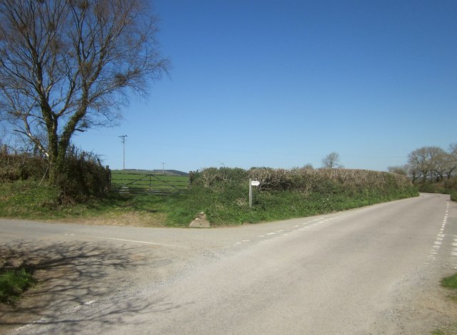
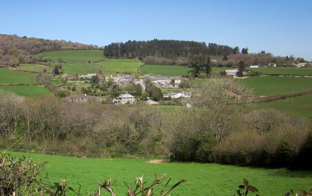
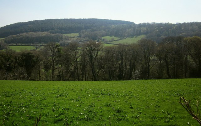
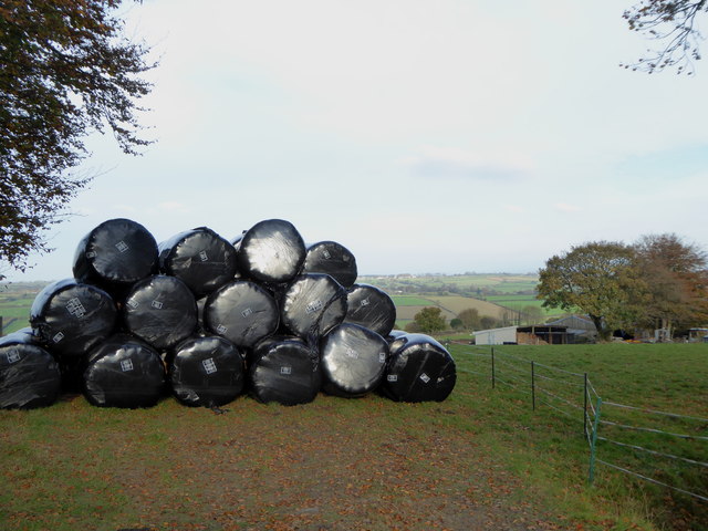
Bathpool Wood is located at Grid Ref: SX2775 (Lat: 50.549751, Lng: -4.4333323)

Unitary Authority: Cornwall

Police Authority: Devon and Cornwall

What 3 Words

///campsites.axed.typhoon. Near North Hill, Cornwall

Related Wikis

Middlewood, Cornwall

Middlewood is a small village in the parish of North Hill, Cornwall, England, UK. Middlewood is in the valley of the River Lynher and on the B3254 road...

Botternell

Botternell is a hamlet in the parish of North Hill, east Cornwall in the United Kingdom. The name means "Dornel's dwelling". Boturnell, also in Cornwall...

Berriowbridge

Berriowbridge is a hamlet in the parish of North Hill in east Cornwall, England, United Kingdom. It is situated in the River Lynher valley on the southeast...

Kingbeare

Kingbeare is a hamlet in the parish of North Hill, Cornwall, England. == References ==

Nearby Amenities

Located within 500m of 50.549751,-4.4333323
Bus Stop
Botternell
Bus: yes
Naptan AtcoCode: 0800COC56524
Naptan Bearing: S
Naptan CommonName: Botternell
Naptan NaptanCode: corgatwd
Naptan Street: B3254
Naptan Verified: no
Public Transport: platform
Source: naptan_import
Lat/Long: 50.5456209/-4.4311653
Bus Stop
Botternell
Bus: yes
Naptan AtcoCode: 0800COC56525
Naptan Bearing: N
Naptan CommonName: Botternell
Naptan NaptanCode: corgatwg
Naptan Street: B3254
Naptan Verified: no
Public Transport: platform
Source: naptan_import
Lat/Long: 50.5457432/-4.431341
Post Box
Collection Times: Mo-Fr 09:00, Sa 07:00
Operator: Royal Mail
Operator Wikidata: Q638098
Post Box Mounting: pier
Post Box Type: lamp
Ref: PL15 118D
Royal Cypher: EIIR
Royal Cypher Wikidata: Q33102113
Survey Date: 2023-04-09
Lat/Long: 50.5525021/-4.4377817
The data included in this document is from www.openstreetmap.org. The data is made available under ODbL.

Have you been to Bathpool Wood?

Leave your review of Bathpool Wood below (or comments, questions and feedback).