Beepark Plantation
Wood, Forest in Cornwall
England
Beepark Plantation
Beepark Plantation is a picturesque woodland located in Cornwall, United Kingdom. This enchanting forest covers an area of approximately 100 acres and is nestled in the heart of the county's stunning countryside. The plantation is known for its dense vegetation, towering trees, and diverse wildlife, making it a popular destination for nature enthusiasts and hikers.
The woodland is primarily composed of a mixture of deciduous and coniferous trees, creating a rich tapestry of colors throughout the seasons. Oak, beech, and birch trees dominate the landscape, providing a serene and tranquil ambiance. The forest floor is adorned with a vibrant carpet of wildflowers, further enhancing the natural beauty of the area.
Beepark Plantation offers a network of well-maintained walking trails that wind through the woods, allowing visitors to explore and discover the hidden gems within. These paths range in difficulty, catering to both casual strollers and more experienced hikers. Along the way, visitors may encounter various species of birds, including woodpeckers, owls, and songbirds, as well as small mammals like squirrels and rabbits.
The plantation is also home to a diverse range of flora and fauna, including rare orchids and ferns. The conservation efforts in the area have helped maintain the ecosystem's delicate balance, ensuring the preservation of its natural heritage.
Beepark Plantation is easily accessible, with ample parking facilities and well-signposted entrances. The site also provides picnic areas and benches, allowing visitors to relax and immerse themselves in the tranquility of the surroundings. Whether it's a leisurely stroll or a wildlife-spotting adventure, Beepark Plantation offers a captivating experience for all who visit.
If you have any feedback on the listing, please let us know in the comments section below.
Beepark Plantation Images
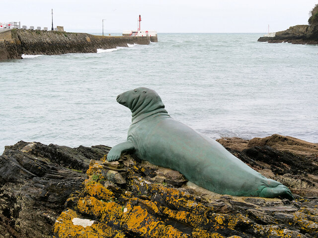
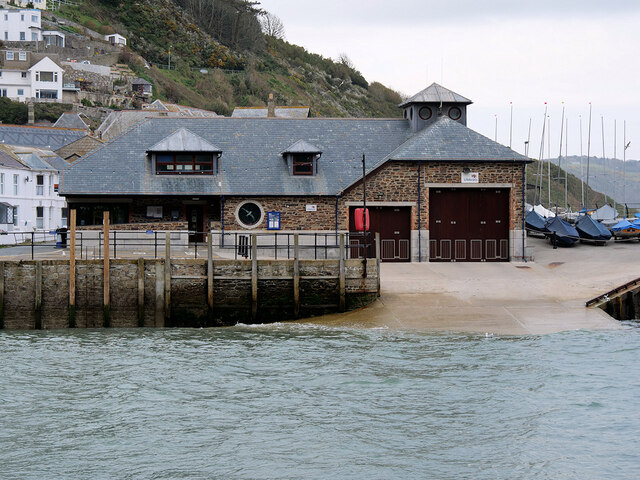
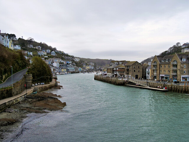
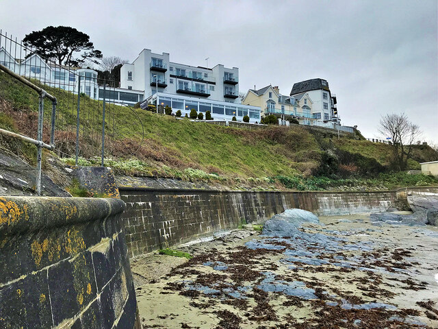
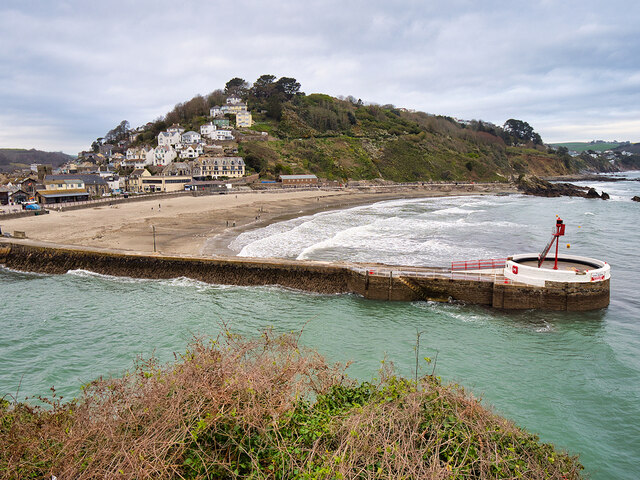
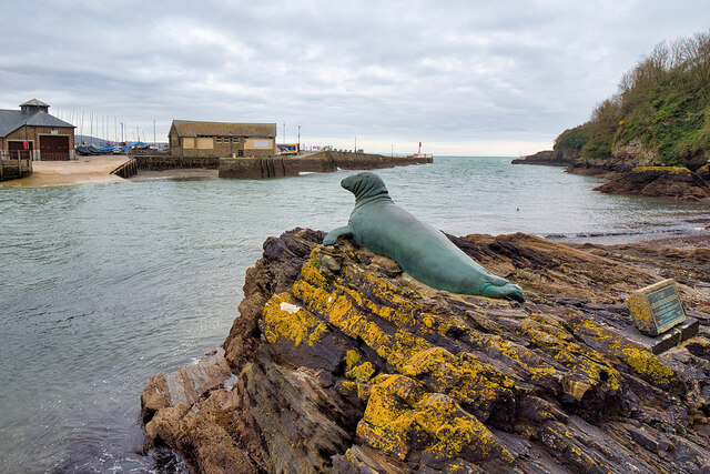
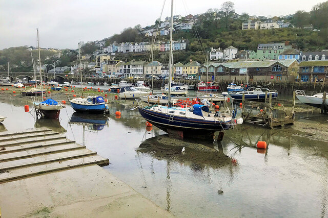
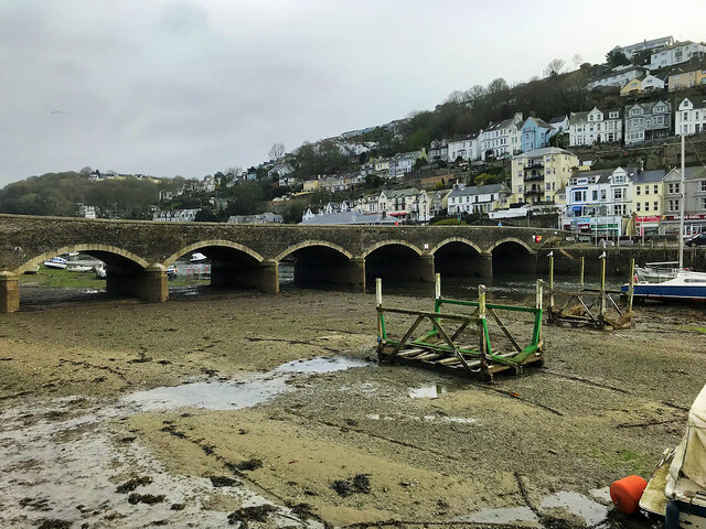
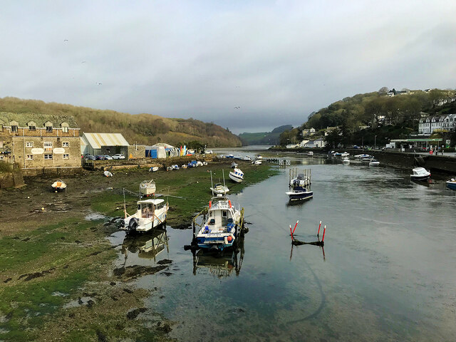
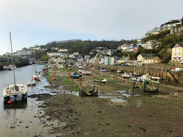
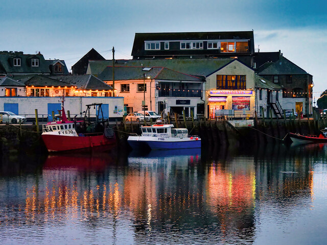
Images are sourced within 2km of 50.353343/-4.4760061 or Grid Reference SX2353. Thanks to Geograph Open Source API. All images are credited.


Beepark Plantation is located at Grid Ref: SX2353 (Lat: 50.353343, Lng: -4.4760061)
Unitary Authority: Cornwall
Police Authority: Devon and Cornwall
What 3 Words
///pines.table.rationed. Near Looe, Cornwall
Nearby Locations
Related Wikis

Polyne Quarry
Polyne Quarry (grid reference SX225531) is a 0.1 hectare Site of Special Scientific Interest (SSSI) in Cornwall, England, UK. It is located to the north...

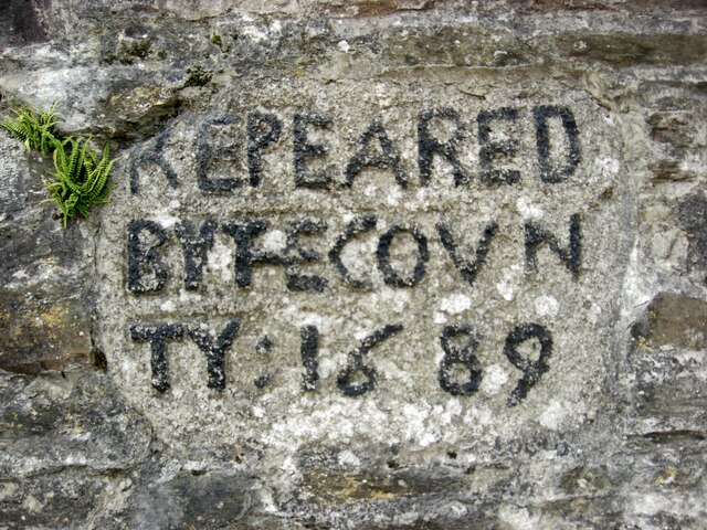
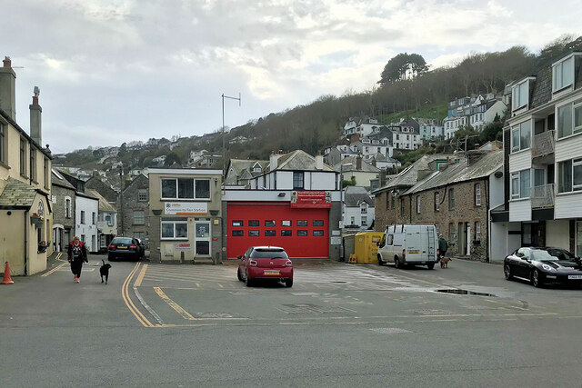
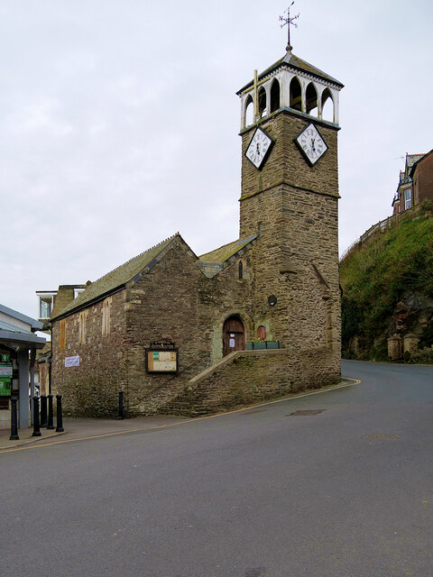
St Nicholas' Church, West Looe
St Nicholas’ Church, West Looe is a Church of England parish church in Looe, Cornwall. == History == The church, dedicated to St Nicholas, Bishop of Myra...
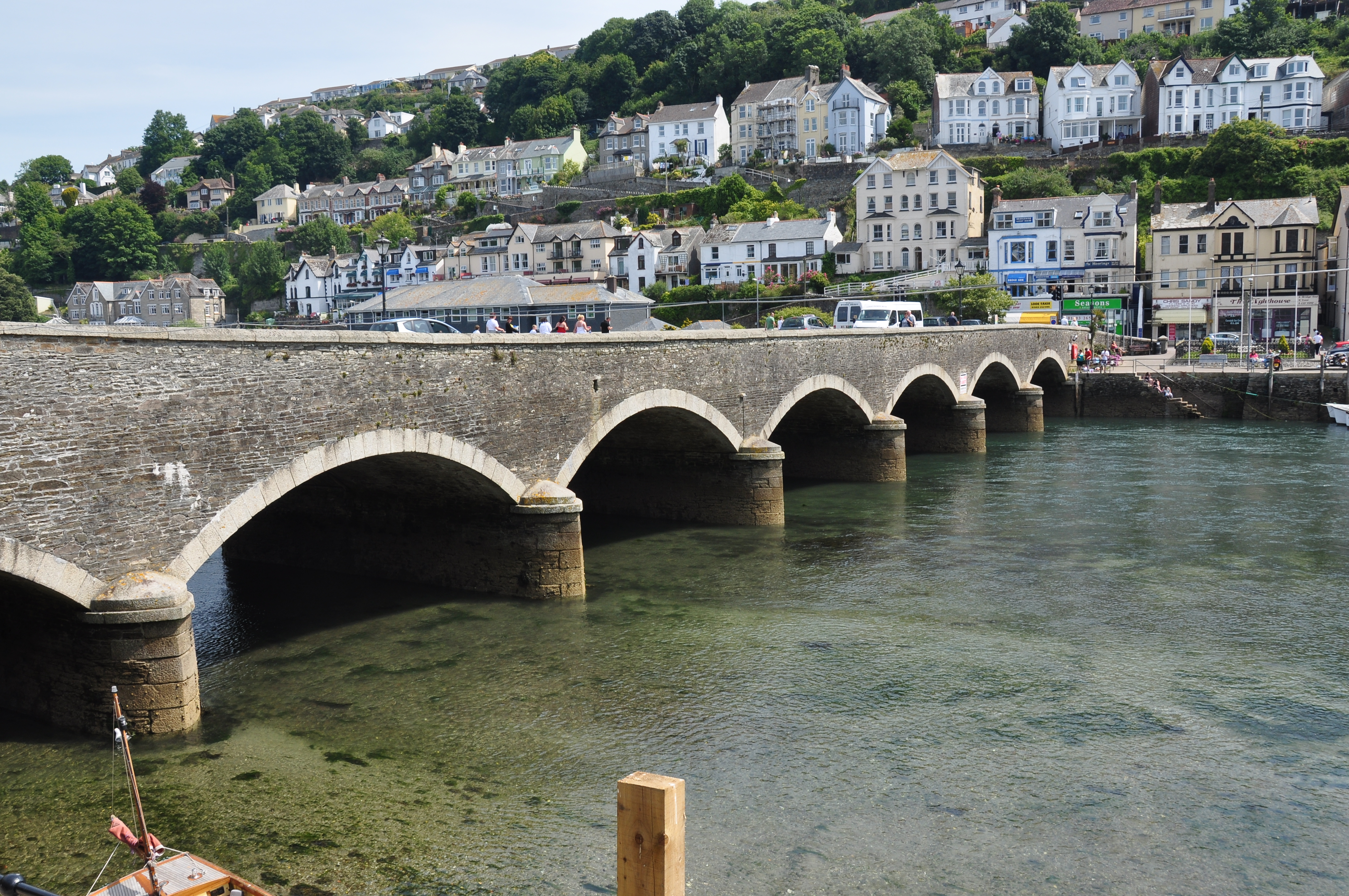
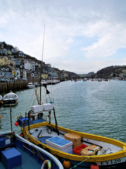
Looe Bridge
Looe Bridge is a bridge in Looe, Cornwall, across the River Looe. Built in the 1850s to replace a dangerous 15th-century structure, the bridge carries...
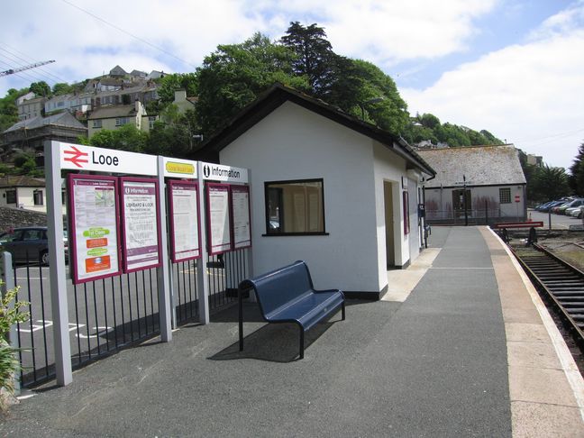
Looe railway station
Looe railway station (Cornish: Logh) serves the twin towns of East and West Looe, in Cornwall, England. The station is the terminus of the scenic Looe...
Nearby Amenities
Located within 500m of 50.353343,-4.4760061Have you been to Beepark Plantation?
Leave your review of Beepark Plantation below (or comments, questions and feedback).