Western Plantation

Wood, Forest in Cornwall

England

Western Plantation

Road to Launceston Road to Launceston by Rehoboth Methodist Church
Road to Launceston Credit: Shaun Ferguson

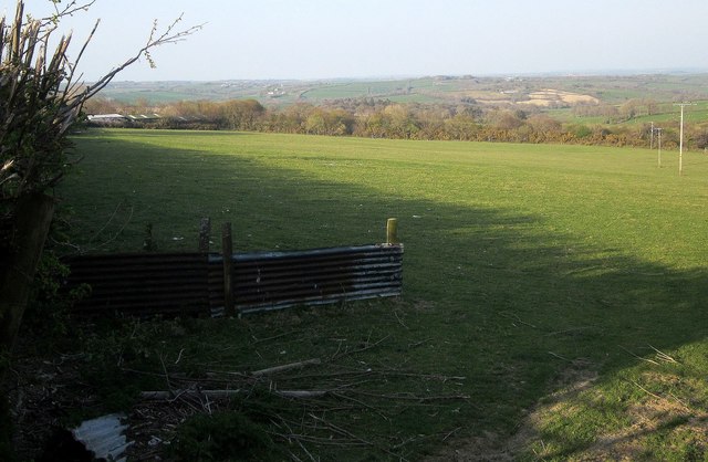
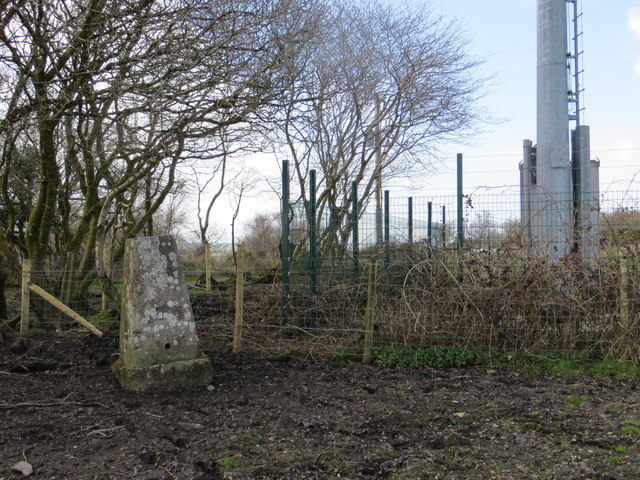
Western Plantation, Cornwall, also known as Wood or Forest, is a picturesque and expansive area located in the southwestern region of England. Covering a vast expanse of land, this plantation is characterized by its dense woodland and lush greenery, making it a haven for nature lovers and outdoor enthusiasts.

The Western Plantation is nestled in the beautiful county of Cornwall, renowned for its stunning landscapes and rich biodiversity. This plantation is home to a diverse range of flora and fauna, with towering trees, vibrant wildflowers, and a variety of wildlife species. Visitors can expect to encounter majestic oak, beech, and pine trees as they explore the plantation's many trails and pathways.

The Western Plantation offers a tranquil and serene environment, providing an ideal escape from the hustle and bustle of city life. Whether one is looking for a peaceful walk, a scenic picnic spot, or a place to engage in outdoor activities such as hiking or birdwatching, this plantation caters to all interests.

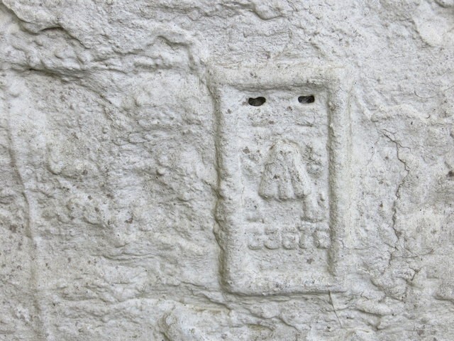
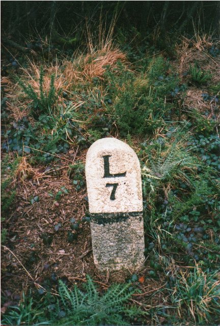
Moreover, the Western Plantation boasts a rich history, with evidence of ancient settlements and archaeological sites scattered throughout the area. Visitors can catch a glimpse of the past as they stumble upon remains of ancient structures and artefacts, adding an extra layer of intrigue to their visit.

Overall, Western Plantation, Cornwall is a captivating destination that showcases the natural beauty and historical significance of the region. With its expansive woodland, diverse wildlife, and serene atmosphere, it offers a truly immersive and enriching experience for nature enthusiasts and history buffs alike.

If you have any feedback on the listing, please let us know in the comments section below.

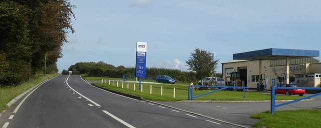
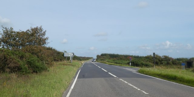
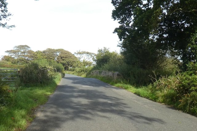
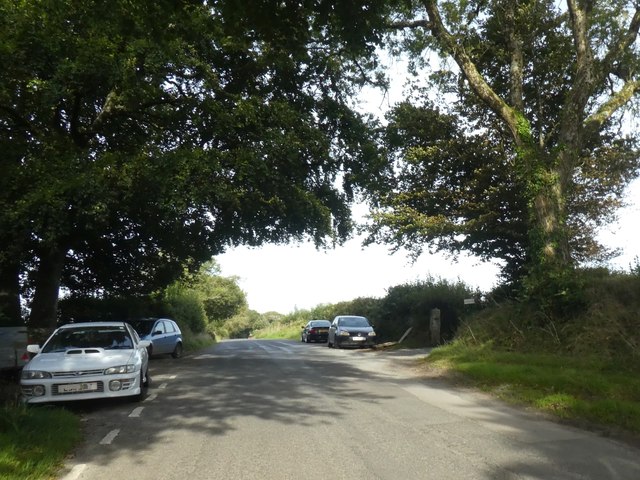
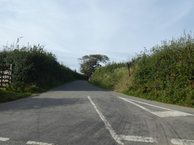
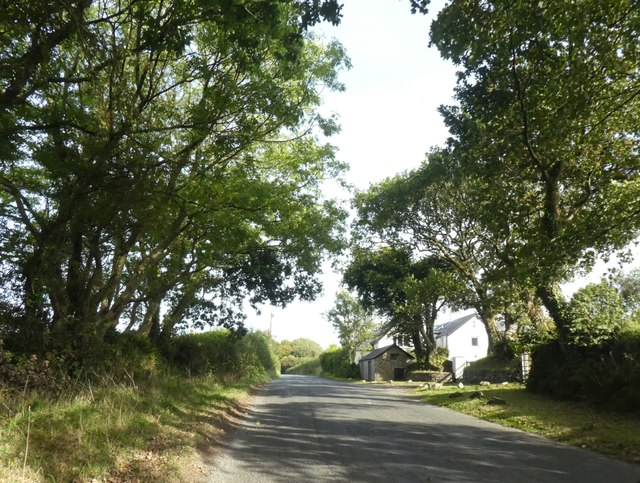
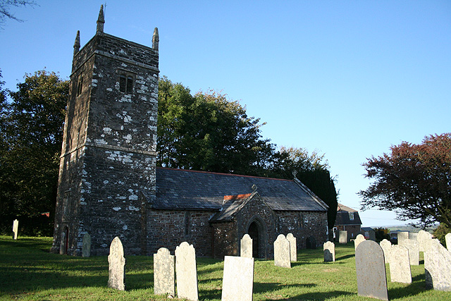
Western Plantation Images

Images are sourced within 2km of 50.649687/-4.491645 or Grid Reference SX2386. Thanks to Geograph Open Source API. All images are credited.

Road to Launceston Road to Launceston by Rehoboth Methodist Church
Road to Launceston
Road to Launceston by Rehoboth Methodist Church
Methodist church, Tresmeer A side view of <a href="https://www.geograph.org.uk/photo/4449860">SX2287 : Methodist church, Tresmeer</a> from the lane from Kensey.
Methodist church, Tresmeer
A side view of SX2287 : Methodist church, Tresmeer from the lane from Kensey.
Field near Helson The same field as in <a href="https://www.geograph.org.uk/photo/4439326">SX2388 : Field near Helson</a>, with the same row of telegraph poles. The farm buildings on the left are at West Park.
Field near Helson
The same field as in SX2388 : Field near Helson, with the same row of telegraph poles. The farm buildings on the left are at West Park.
An uprooted and moved Tregearedown Triangulation Pillar This once stood on Tregearedown Beacon (SX 25071 86823) but has been uprooted and moved into the corner of the field almost 200 yards south-westward next to a new communications mast compound.
An uprooted and moved Tregearedown Triangulation Pillar
This once stood on Tregearedown Beacon (SX 25071 86823) but has been uprooted and moved into the corner of the field almost 200 yards south-westward next to a new communications mast compound.
Ordnance Survey Flush Bracket G3676 This can be found on the wall of a building at Hare and Hounds Farm.
For more detail see : <span class="nowrap"><a title="http://www.bench-marks.org.uk/bm15682" rel="nofollow ugc noopener" href="http://www.bench-marks.org.uk/bm15682">Link</a><img style="margin-left:2px;" alt="External link" title="External link - shift click to open in new window" src="https://s1.geograph.org.uk/img/external.png" width="10" height="10"/></span>
Ordnance Survey Flush Bracket G3676
This can be found on the wall of a building at Hare and Hounds Farm. For more detail see : LinkExternal link
Old Milestone by the A395, north of Laneast Carved stone post by the A395, in parish of LANEAST (NORTH CORNWALL District), Downhead, West of turn to Laneast, just East of lay-by, on North side of road. Launceston pillar, erected by the Launceston turnpike trust in the 19th century. 

Inscription reads:-
L
7 

Grade II Listed. List Entry Number: 1328072
<span class="nowrap"><a title="https://historicengland.org.uk/listing/the-list/list-entry/1328072" rel="nofollow ugc noopener" href="https://historicengland.org.uk/listing/the-list/list-entry/1328072">Link</a><img style="margin-left:2px;" alt="External link" title="External link - shift click to open in new window" src="https://s1.geograph.org.uk/img/external.png" width="10" height="10"/></span>

Milestone Society National ID: CW_LACF07.
Old Milestone by the A395, north of Laneast
Carved stone post by the A395, in parish of LANEAST (NORTH CORNWALL District), Downhead, West of turn to Laneast, just East of lay-by, on North side of road. Launceston pillar, erected by the Launceston turnpike trust in the 19th century. Inscription reads:- L 7 Grade II Listed. List Entry Number: 1328072 LinkExternal link Milestone Society National ID: CW_LACF07.
Moorview Garage by A395
A395 road junction on Laneast Downs
Woodland and moorland by A395 on Laneast Downs
Road crossing Laneast Downs Signed to Tregeare, 2 miles away
Road crossing Laneast Downs
Signed to Tregeare, 2 miles away
Old Milestone by the A395, north of Laneast Carved stone post by the A395, in parish of LANEAST (NORTH CORNWALL District), Downhead, West of turn to Laneast, just East of lay-by, on North side of road. Launceston pillar, erected by the Launceston turnpike trust in the 19th century. 

Inscription reads:-
L
7 

Grade II listed. 
List Entry Number: 1328072 <span class="nowrap"><a title="https://historicengland.org.uk/listing/the-list/list-entry/1328072" rel="nofollow ugc noopener" href="https://historicengland.org.uk/listing/the-list/list-entry/1328072">Link</a><img style="margin-left:2px;" alt="External link" title="External link - shift click to open in new window" src="https://s1.geograph.org.uk/img/external.png" width="10" height="10"/></span>

Milestone Society National ID: CW_LACF07.
Old Milestone by the A395, north of Laneast
Carved stone post by the A395, in parish of LANEAST (NORTH CORNWALL District), Downhead, West of turn to Laneast, just East of lay-by, on North side of road. Launceston pillar, erected by the Launceston turnpike trust in the 19th century. Inscription reads:- L 7 Grade II listed. List Entry Number: 1328072 LinkExternal link Milestone Society National ID: CW_LACF07.
Road junction at Three Hammers
Advertising sign for Tresmeer village hall Just west of the road junction in Three Hammers for the centre of Tresmeer
Advertising sign for Tresmeer village hall
Just west of the road junction in Three Hammers for the centre of Tresmeer
Field access track in Three Hammers
Former railway bridge on Tremeer road Bridge over the former North Cornwall Railway; in an overgrown cutting under the road
Former railway bridge on Tremeer road
Bridge over the former North Cornwall Railway; in an overgrown cutting under the road
Cars parked at Trehummer Cars parked on the minor road at Trehummer Lodge, where a track leads to a small business
Cars parked at Trehummer
Cars parked on the minor road at Trehummer Lodge, where a track leads to a small business
Road to Treburtle
Road to Treburtle
Houses at Tor Wood The Victorian OS map labels this group as Tor Cottages
Houses at Tor Wood
The Victorian OS map labels this group as Tor Cottages
Show me another place!

Western Plantation is located at Grid Ref: SX2386 (Lat: 50.649687, Lng: -4.491645)

Unitary Authority: Cornwall

Police Authority: Devon and Cornwall

What 3 Words

///fewer.parsnip.subplot. Near Trewen, Cornwall

Nearby Locations

Badgall Western Plantation

Related Wikis

Badgall

Badgall (Cornish: Bos Galla, meaning Calla's dwelling) is a hamlet in the parish of Laneast, Cornwall, England, United Kingdom. It is situated 6 miles...

Tresmeer

Tresmeer (sometimes spelled Tresmere) (Cornish: Trewasmeur) is a hamlet and a civil parish in northeast Cornwall, England, United Kingdom. The hamlet is...

Laneast

Laneast (Cornish: Lanneyst) is a village and civil parish in Cornwall, England, United Kingdom. It lies above the River Inny valley, about six miles (11...

Trebeath

Trebeath is a hamlet in the parish of Egloskerry, Cornwall, England, United Kingdom. == References == == External links == Media related to Trebeath at...

Nearby Amenities

Located within 500m of 50.649687,-4.491645
Badgall
Name En: Badgall
Name Kw: Bos Galla
Place: hamlet
Wikidata: Q4840806
Wikipedia: en:Badgall
Lat/Long: 50.6520369/-4.4973335
The data included in this document is from www.openstreetmap.org. The data is made available under ODbL.

Have you been to Western Plantation?

Leave your review of Western Plantation below (or comments, questions and feedback).