Chawston

Settlement in Bedfordshire

England

Chawston

The Lane, Wyboston
The Lane, Wyboston Credit: David Howard

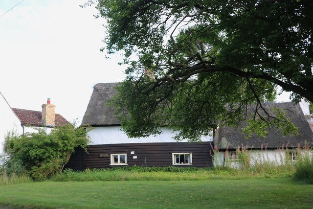
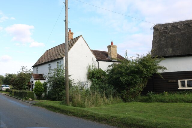
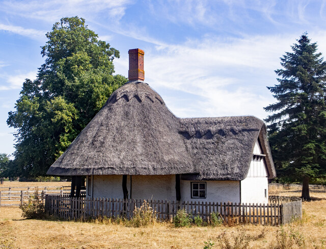
Chawston is a small village located in Bedfordshire, England. It is situated just south of the town of St Neots and is surrounded by picturesque countryside. The village is known for its charming rural setting, with many historic buildings and traditional thatched cottages lining its streets.

Chawston has a close-knit community, with a village hall and local pub serving as popular gathering spots for residents. The village also has a primary school, providing education for local children.

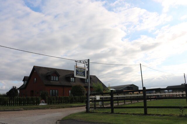
In terms of amenities, Chawston is well-served by nearby towns such as St Neots, which offer a range of shops, restaurants, and services. The village is also conveniently located near major roadways, making it easy to access other parts of Bedfordshire and beyond.

Overall, Chawston is a peaceful and scenic village that offers a high quality of life for its residents. Its idyllic setting and strong sense of community make it a desirable place to live for those seeking a quieter, more rural lifestyle in the English countryside.

If you have any feedback on the listing, please let us know in the comments section below.
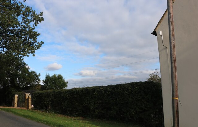
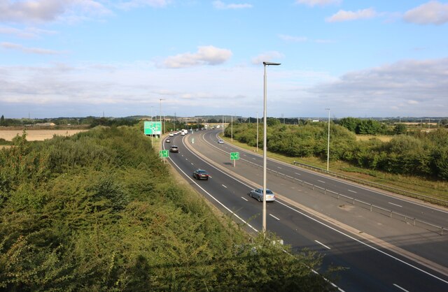
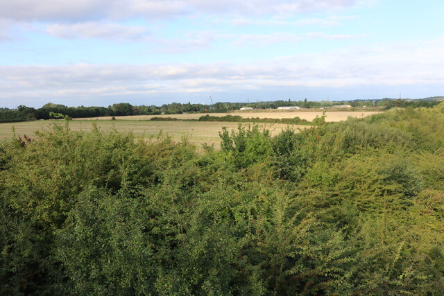
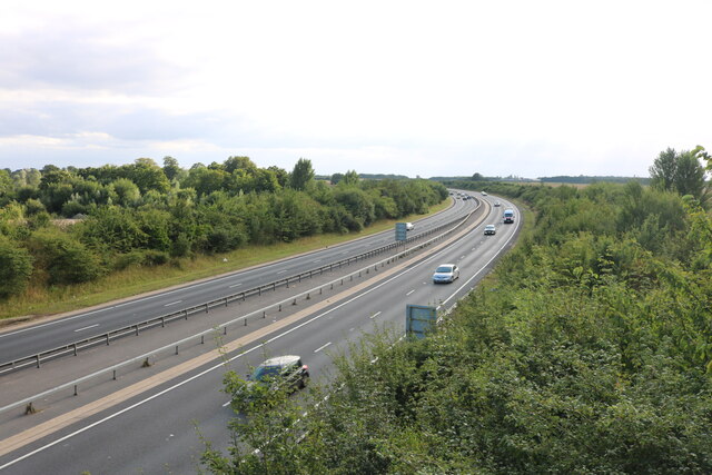
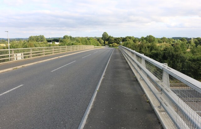
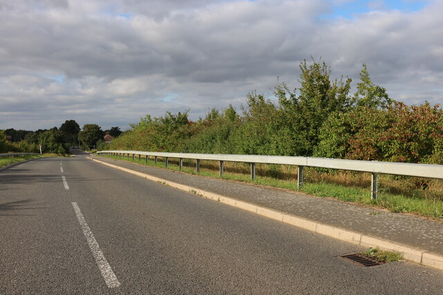
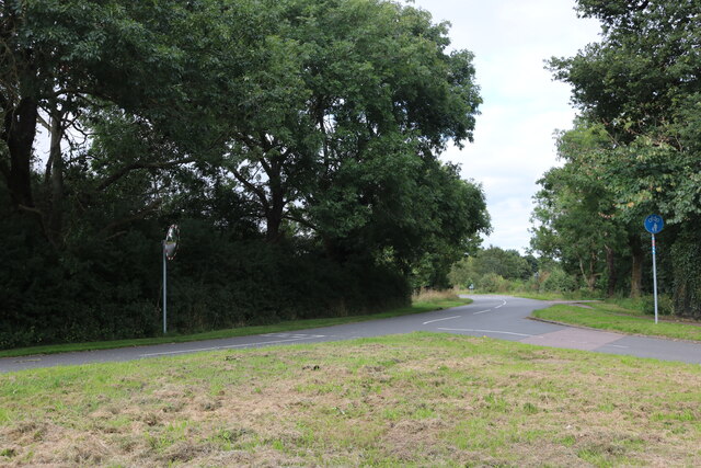
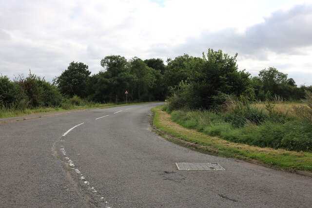
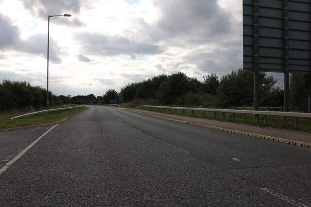
Chawston Images

Images are sourced within 2km of 52.191015/-0.31175 or Grid Reference TL1556. Thanks to Geograph Open Source API. All images are credited.

The Lane, Wyboston
The Lane, Wyboston
Hedge by Colesden Road
Aubretia Cottage on Colesden Road
Cottages on Colesden Road
Spinney Road, Chawston
The A421, Chawston
The A421, Chawston
Woods by Roxton Road, Chawston
The A421, Chawston
The A421, Chawston
Roxton Road crossing the A421
Roxton Road, Chawston At the end of the A421 bridge
Roxton Road, Chawston
At the end of the A421 bridge
High Street, Roxton
High Street, Roxton
High Street, Roxton
High Street, Roxton
Bedford Road, Roxton Leaving the Black Cat Roundabout
Bedford Road, Roxton
Leaving the Black Cat Roundabout
Field by Staploe Road, Wyboston
Haystack by Staploe Road, Wyboston
Roxton : lodge, Roxton Park Grade II listed - <span class="nowrap"><a title="https://historicengland.org.uk/listing/the-list/list-entry/1321206" rel="nofollow ugc noopener" href="https://historicengland.org.uk/listing/the-list/list-entry/1321206">Link</a><img style="margin-left:2px;" alt="External link" title="External link - shift click to open in new window" src="https://s1.geograph.org.uk/img/external.png" width="10" height="10"/></span>.
Roxton : lodge, Roxton Park
Grade II listed - LinkExternal link.
McDonald's on the A1, Wyboston
Petrol station on the A1, Wyboston
Show me another place!

Chawston is located at Grid Ref: TL1556 (Lat: 52.191015, Lng: -0.31175)

Unitary Authority: Bedford

Police Authority: Bedfordshire

What 3 Words

///snipe.flood.templates. Near Roxton, Bedfordshire

Nearby Locations

Chawston

Related Wikis

Chawston

Chawston is a hamlet in the civil parish of Wyboston, Chawston and Colesden, a part of the Borough of Bedford in the county of Bedfordshire, England....

Black Cat Roundabout

Black Cat Roundabout is on the junction between the A1 and A421 (formerly A428) Bedford road just south of St Neots. It was reconstructed in 2005-6 as...

Wyboston

Wyboston is a village in the English county of Bedfordshire, adjacent to the town of St Neots, on the Cambridgeshire border. The eastern part of the village...

Wyboston, Chawston and Colesden

Wyboston, Chawston and Colesden is a civil parish located in the Borough of Bedford in Bedfordshire, in England. The parish includes the village of Wyboston...

Nearby Amenities

Located within 500m of 52.191015,-0.31175
Post Box
Collection Times: Mo-Fr 16:45; Sa 09:15
Operator: Royal Mail
Operator Wikidata: Q638098
Post Box Type: lamp
Postal Code: MK44
Ref: MK44 243
Royal Cypher: EIIR
Royal Cypher Wikidata: Q33102113
Source: survey
Survey Date: 2016-05-07
Lat/Long: 52.1912813/-0.3149314
Hudson Motors
Building: works
Source: dictaphone
Lat/Long: 52.1915677/-0.3053071
Power: tower
Source: bing
Lat/Long: 52.1945592/-0.3160427
Note: Erroneously recorded as a postbox: it is, in fact, a residential letterbox.
Source: survey
Survey Date: 2016-05-07
Lat/Long: 52.1913756/-0.3068162
Power: tower
Source: bing
Lat/Long: 52.1954204/-0.3124404
Restaurant
Edible Ornamentals
Addr City: Chawston
Addr Country: GB
Addr Postcode: MK44 3BL
Addr Street: Roxton Road
Fhrs Authority: Bedford
Fhrs Id: 103172
Fhrs Local Authority Id: 34573
Phone: +44 1480 405663
Shop: greengrocer
Website: http://edibleornamentals.co.uk/
Lat/Long: 52.1930223/-0.3156946
Bus Stop
Bus: yes
Public Transport: platform
Lat/Long: 52.1912239/-0.3146269
The data included in this document is from www.openstreetmap.org. The data is made available under ODbL.

Have you been to Chawston?

Leave your review of Chawston below (or comments, questions and feedback).