Roughtor Plantation
Wood, Forest in Cornwall
England
Roughtor Plantation
Roughtor Plantation is a picturesque woodland located in Cornwall, England. Situated near the village of Camelford, it spans an area of approximately 50 hectares, making it a significant natural resource in the region. The plantation is predominantly comprised of mature oak and beech trees, creating a lush and vibrant forest environment.
The woodland is well-known for its diverse wildlife, serving as a habitat for a variety of species. Visitors to Roughtor Plantation can spot native birds such as woodpeckers, owls, and various songbirds, as well as small mammals like foxes, badgers, and squirrels. The forest floor is also home to an array of flora, including bluebells, primroses, and ferns, which add to the enchanting atmosphere of the woodland.
The plantation offers a range of recreational activities for nature enthusiasts and hikers. There are several well-maintained footpaths and trails that wind through the woodland, providing opportunities for leisurely walks and exploration. These paths also offer stunning views of the surrounding countryside, including nearby Bodmin Moor.
Roughtor Plantation is managed by local conservation authorities, who work to maintain the health and vitality of the woodland ecosystem. Sustainable forestry practices are implemented to ensure the continued growth and preservation of the trees. This commitment to conservation has resulted in the plantation being awarded the prestigious Green Flag Award, recognizing its status as a well-managed and environmentally-friendly site.
Overall, Roughtor Plantation is a captivating natural haven in Cornwall, offering visitors a chance to immerse themselves in the beauty of a woodland environment while supporting sustainable conservation efforts.
If you have any feedback on the listing, please let us know in the comments section below.
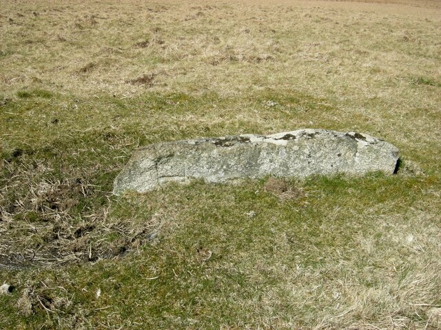
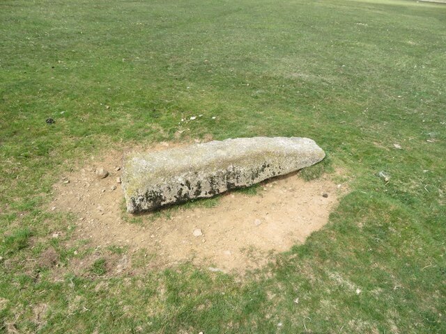
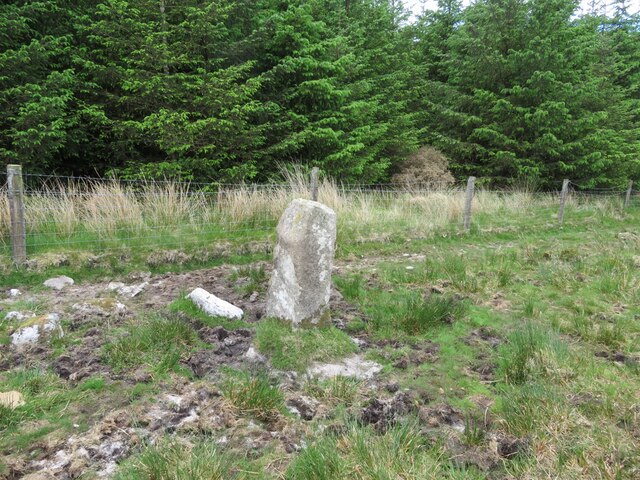
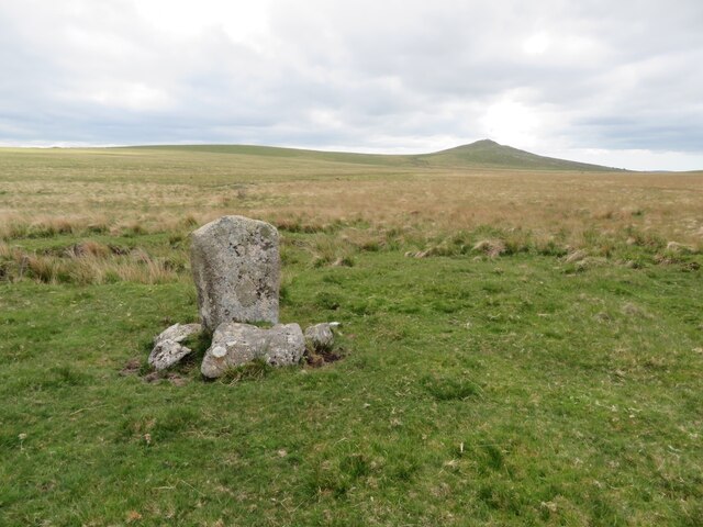
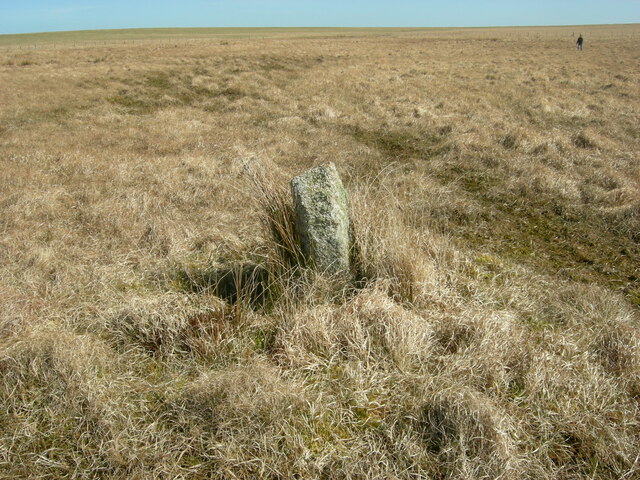
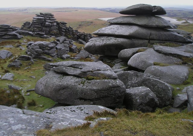
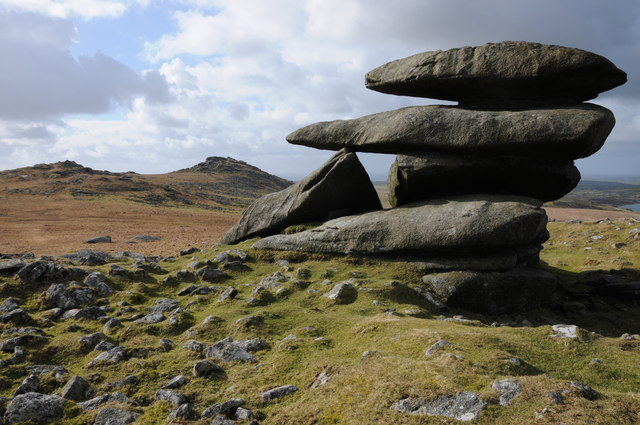
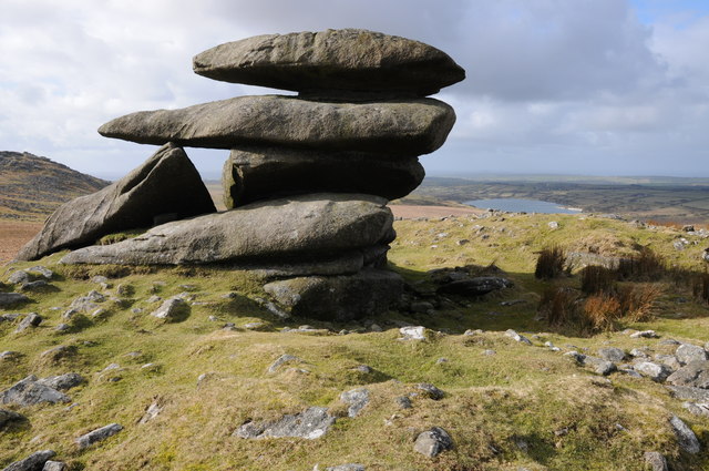
Roughtor Plantation Images
Images are sourced within 2km of 50.611643/-4.6129686 or Grid Reference SX1582. Thanks to Geograph Open Source API. All images are credited.


Roughtor Plantation is located at Grid Ref: SX1582 (Lat: 50.611643, Lng: -4.6129686)
Unitary Authority: Cornwall
Police Authority: Devon and Cornwall
What 3 Words
///remark.second.unloaded. Near Camelford, Cornwall
Nearby Locations
Related Wikis

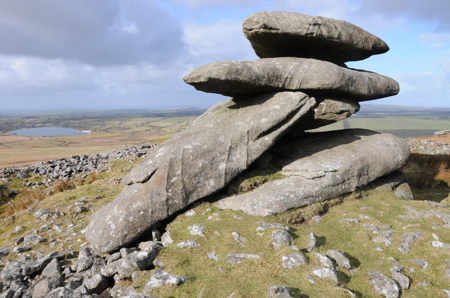
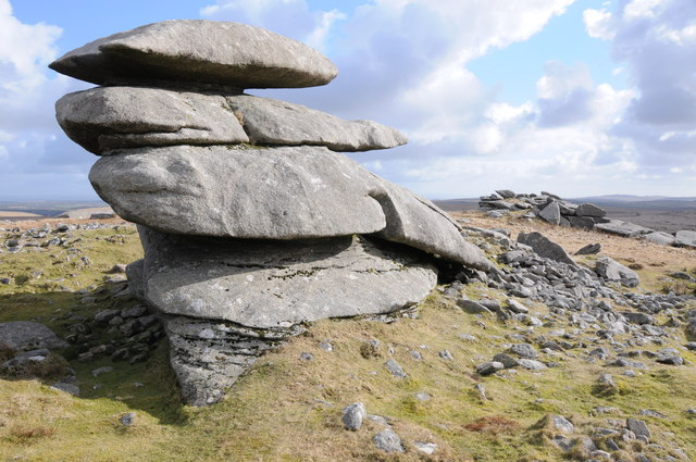
Showery Tor
Showery Tor is a rocky outcrop on a ridge-top approximately 0.6 kilometres (0.37 mi) north of the Rough Tor summit, near Camelford on Bodmin Moor in Cornwall...

Rough Tor
Rough Tor (), or Roughtor, is a tor on Bodmin Moor, Cornwall, England, United Kingdom. The site is composed of the tor summit and logan stone, a neolithic...

Fernacre
Fernacre (grid reference SX14477997), also known as Fernacre stone circle or Fernacre circle, is a stone circle located on the slopes of the De Lank River...
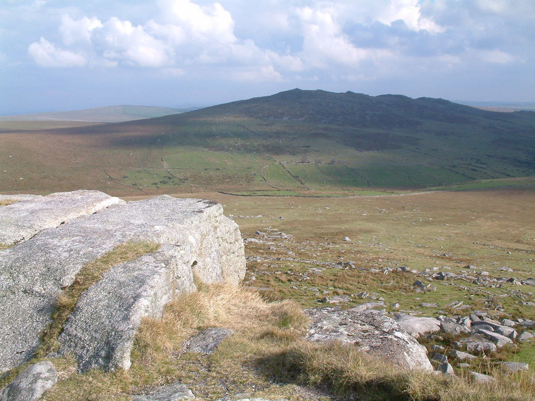
Brown Willy
Brown Willy (possibly from Cornish Bronn Wennili meaning "hill of swallows" or from Cornish Bronn Ewhella meaning "highest hill") is a hill in Cornwall...
Nearby Amenities
Located within 500m of 50.611643,-4.6129686Have you been to Roughtor Plantation?
Leave your review of Roughtor Plantation below (or comments, questions and feedback).