Lanlavery Rock
Hill, Mountain in Cornwall
England
Lanlavery Rock
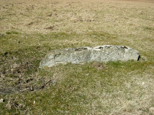
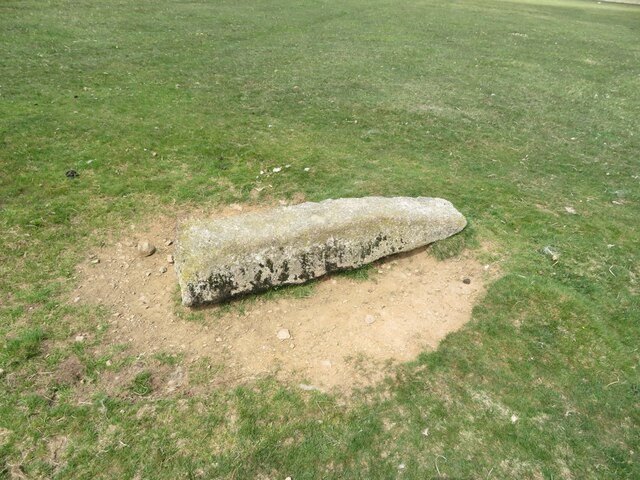
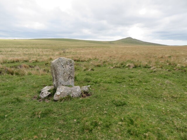
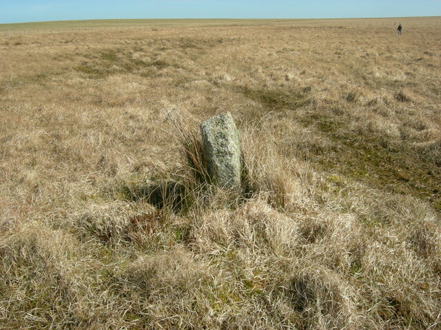
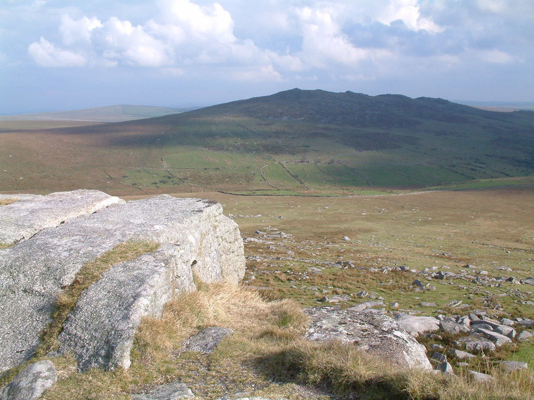
Lanlavery Rock is a prominent hill located in Cornwall, England. Situated near the village of Lanlivery, it is known for its stunning natural beauty and offers breathtaking views of the surrounding countryside. While it is commonly referred to as a rock, it is more accurately described as a hill or a small mountain, standing at an elevation of approximately 223 meters (732 feet) above sea level.
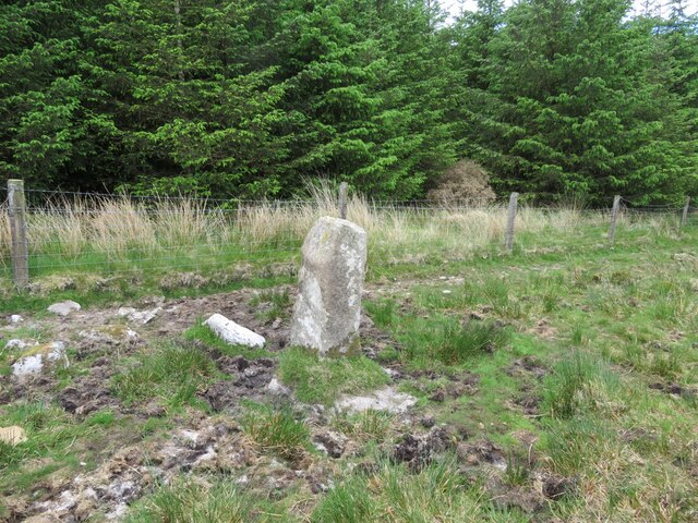
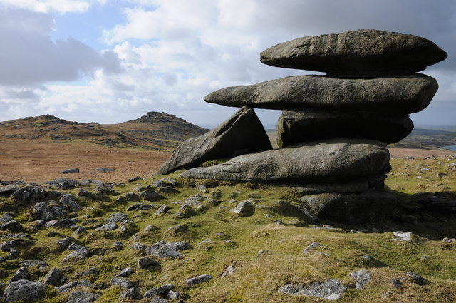
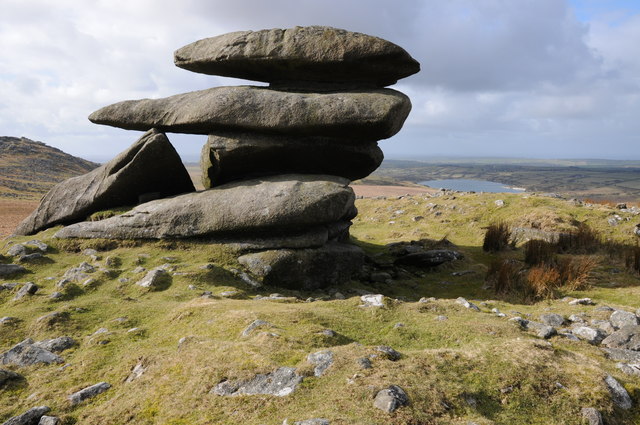
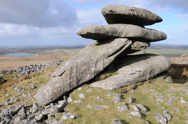
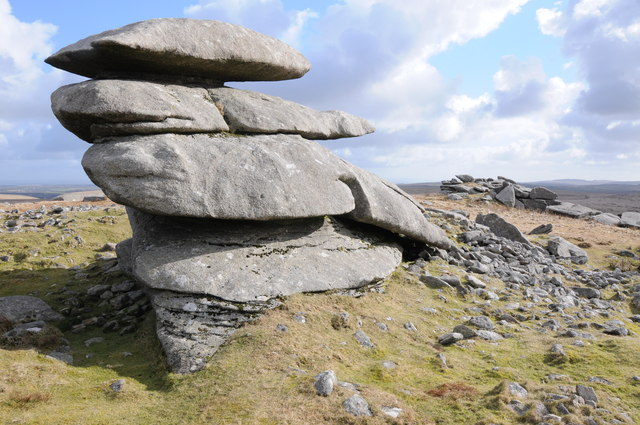
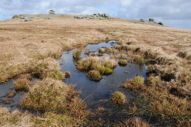
The hill is composed primarily of granite, a characteristic feature of the Cornish landscape. Lanlavery Rock is a popular destination for hikers and nature enthusiasts due to its accessibility and well-maintained trails. It is part of the larger Bodmin Moor area, which is renowned for its rugged landscapes and rich cultural heritage.
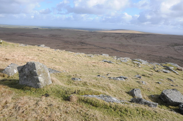
At the summit of Lanlavery Rock, visitors are rewarded with panoramic vistas of the surrounding countryside, including the rolling hills, verdant pastures, and scattered farmsteads. On a clear day, it is possible to see as far as the northern coast of Cornwall, with views stretching out towards the Atlantic Ocean.
The hill is also home to a diverse range of flora and fauna, with heather and gorse dominating the landscape. Various species of birds can be spotted, including kestrels, buzzards, and skylarks, adding to the natural allure of Lanlavery Rock.
Overall, Lanlavery Rock stands as a picturesque landmark in Cornwall, offering visitors a chance to immerse themselves in the region's natural beauty and enjoy a tranquil escape from the hustle and bustle of everyday life.
If you have any feedback on the listing, please let us know in the comments section below.
Lanlavery Rock Images
Images are sourced within 2km of 50.613999/-4.6074021 or Grid Reference SX1582. Thanks to Geograph Open Source API. All images are credited.


Lanlavery Rock is located at Grid Ref: SX1582 (Lat: 50.613999, Lng: -4.6074021)
Unitary Authority: Cornwall
Police Authority: Devon and Cornwall
What 3 Words
///upgrading.inkjet.fatherly. Near Camelford, Cornwall
Nearby Locations
Related Wikis

Showery Tor
Showery Tor is a rocky outcrop on a ridge-top approximately 0.6 kilometres (0.37 mi) north of the Rough Tor summit, near Camelford on Bodmin Moor in Cornwall...

Rough Tor
Rough Tor (), or Roughtor, is a tor on Bodmin Moor, Cornwall, England, United Kingdom. The site is composed of the tor summit and logan stone, a neolithic...

RAF Davidstow Moor
Royal Air Force Davidstow, or more simply RAF Davidstow Moor, is a former Royal Air Force station located 2.9 miles (4.7 km) north east of Camelford, Cornwall...
Bowithick
Bowithick is a hamlet on the northern edge of Bodmin Moor in Cornwall, England, United Kingdom.Bowithick is situated near the disused Davidstow Moor airfield...
Brown Willy
Brown Willy (possibly from Cornish Bronn Wennili meaning "hill of swallows" or from Cornish Bronn Ewhella meaning "highest hill") is a hill in Cornwall...

Fernacre
Fernacre (grid reference SX14477997), also known as Fernacre stone circle or Fernacre circle, is a stone circle located on the slopes of the De Lank River...

Davidstow Circuit
Davidstow Circuit is a disused motor racing circuit and airfield built in Cornwall, in the United Kingdom. The circuit was built on the site of a World...
Tremail
Tremail is a hamlet in Cornwall, England, UK. It is about one mile southeast of Davidstow. Higher Tremail Farm and Trewinnow are nearby. == References ==
Have you been to Lanlavery Rock?
Leave your review of Lanlavery Rock below (or comments, questions and feedback).