Treveddoe Wood

Wood, Forest in Cornwall

England

Treveddoe Wood

Old Boundary Markers on Warleggan Common Two boundary stones in the gorse and bracken scrub 120 metres west of the lane crossing Warleggan Common. Warleggan parish.

On the right is estate boundary marker CW_WARL19em. One of 5 roughly cut granite stones marked on their eastern face with the letters BC. The Tithe Apportionment shows that the land to the west of these stones is described as “allotment on Common” with the landowner being William Bickford Coham. Four of these stones have been located. Shown on the 6" map of 1907 and on the 1839 Tithe map and Apportionment of Warleggan Parish.

On the left is mine boundary marker CW_WARL20em. One of 3 surviving almost identical stones, marked T on their eastern faces, that are thought to mark the extent of the nearby Treveddoe mine sett.
Old Boundary Markers on Warleggan Common Credit: P G Moore

Treveddoe Wood, located in Cornwall, is a picturesque forest that boasts stunning natural beauty and a rich history. Covering an area of approximately 100 acres, the wood is situated near the village of Treveddoe, creating a tranquil and secluded environment for visitors to enjoy.

The wood is primarily composed of native broadleaf trees, including oak, beech, and ash, which create a dense canopy that provides shade and shelter for a diverse range of flora and fauna. The forest floor is adorned with an array of wildflowers, ferns, and mosses, adding to the wood's enchanting atmosphere.

This ancient woodland has a fascinating history, dating back centuries. It is believed that the wood was once part of a larger forest that covered much of Cornwall during the medieval period. Over time, it has been managed by local communities for various purposes, including timber production and hunting.

Today, Treveddoe Wood is a popular destination for nature enthusiasts and hikers. Its network of well-maintained trails allows visitors to explore the wood's hidden treasures, such as idyllic streams and old stone ruins. The wood also provides a sanctuary for a variety of wildlife, including deer, badgers, and numerous bird species, making it an ideal spot for birdwatching.

In addition to its natural beauty, Treveddoe Wood offers a sense of tranquility and escape from the hustle and bustle of everyday life. Its peaceful ambiance and stunning vistas make it a perfect destination for those seeking solace in nature or simply looking to reconnect with the great outdoors.

If you have any feedback on the listing, please let us know in the comments section below.

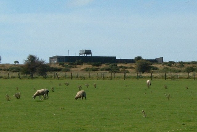
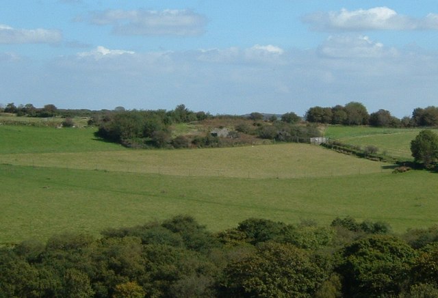
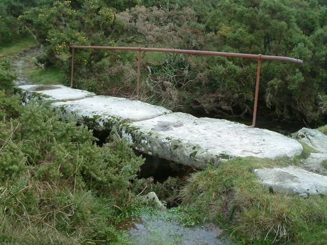
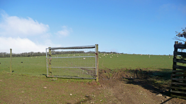
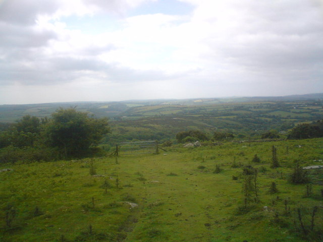
Treveddoe Wood Images

Images are sourced within 2km of 50.494032/-4.6099815 or Grid Reference SX1469. Thanks to Geograph Open Source API. All images are credited.

Old Boundary Markers on Warleggan Common Two boundary stones in the gorse and bracken scrub 120 metres west of the lane crossing Warleggan Common. Warleggan parish.

On the right is estate boundary marker CW_WARL19em. One of 5 roughly cut granite stones marked on their eastern face with the letters BC. The Tithe Apportionment shows that the land to the west of these stones is described as “allotment on Common” with the landowner being William Bickford Coham. Four of these stones have been located. Shown on the 6" map of 1907 and on the 1839 Tithe map and Apportionment of Warleggan Parish.

On the left is mine boundary marker CW_WARL20em. One of 3 surviving almost identical stones, marked T on their eastern faces, that are thought to mark the extent of the nearby Treveddoe mine sett.
Old Boundary Markers on Warleggan Common
Two boundary stones in the gorse and bracken scrub 120 metres west of the lane crossing Warleggan Common. Warleggan parish. On the right is estate boundary marker CW_WARL19em. One of 5 roughly cut granite stones marked on their eastern face with the letters BC. The Tithe Apportionment shows that the land to the west of these stones is described as “allotment on Common” with the landowner being William Bickford Coham. Four of these stones have been located. Shown on the 6" map of 1907 and on the 1839 Tithe map and Apportionment of Warleggan Parish. On the left is mine boundary marker CW_WARL20em. One of 3 surviving almost identical stones, marked T on their eastern faces, that are thought to mark the extent of the nearby Treveddoe mine sett.
Track to Higher Dewey One of the farmed areas without open access, but a bridleway follows the track.
Track to Higher Dewey
One of the farmed areas without open access, but a bridleway follows the track.
Warleggan Down Looking towards Tor House
Warleggan Down
Looking towards Tor House
Rifle range, fiercely guarded by sheep I wonder if the sheep explode.
Rifle range, fiercely guarded by sheep
I wonder if the sheep explode.
Tremoreland, over fields I think I took a wrong lane.  I was supposed to end up a bit closer than this.
Tremoreland, over fields
I think I took a wrong lane. I was supposed to end up a bit closer than this.
Old Workhorse Abandoned Morris Minor van, one of several in nearby woodland
Old Workhorse
Abandoned Morris Minor van, one of several in nearby woodland
Old Bridge Little used footpath goes over bridge before its way is blocked by hedges and walls
Old Bridge
Little used footpath goes over bridge before its way is blocked by hedges and walls
Sheep pasture at Tremoreland View north-west uphill towards Great Care Hill on the southern edge of Bodmin Moor.
Sheep pasture at Tremoreland
View north-west uphill towards Great Care Hill on the southern edge of Bodmin Moor.
Large granite boulder on Hardhead Downs The orange and white marker is a control site for a Cornwall Orienteering Club event <span class="nowrap"><a title="http://www.btinternet.com/~kerno.orienteering/fl8.html" rel="nofollow ugc noopener" href="http://www.btinternet.com/~kerno.orienteering/fl8.html">Link</a><img style="margin-left:2px;" alt="External link" title="External link - shift click to open in new window" src="https://s1.geograph.org.uk/img/external.png" width="10" height="10"/></span>.  In the distance can be seen spoil heaps at the now defunct Glynn Valley china clay works.
Large granite boulder on Hardhead Downs
The orange and white marker is a control site for a Cornwall Orienteering Club event LinkExternal link. In the distance can be seen spoil heaps at the now defunct Glynn Valley china clay works.
Boulders on Carburrow Tor Looking towards the old Glynn Valley china clay works in square SX1471.
Boulders on Carburrow Tor
Looking towards the old Glynn Valley china clay works in square SX1471.
Moorland on the south slope of Carburrow Tor Looking towards Tor House, currently undergoing extensive refurbishment.
Moorland on the south slope of Carburrow Tor
Looking towards Tor House, currently undergoing extensive refurbishment.
Cairns, Carburrow Tor
Trackway Below Hardhead Downs
Old Boundary Marker Estate Boundary Marker on Warleggan Down. WARLEGGAN parish. Inscribed B / C, perhaps for William Bickford Coham.

Milestone Society National ID: CW_WARL17em
Old Boundary Marker
Estate Boundary Marker on Warleggan Down. WARLEGGAN parish. Inscribed B / C, perhaps for William Bickford Coham. Milestone Society National ID: CW_WARL17em
Highland cattle by the roadside
Track to Tor House
Track to Tor House
Cairns at the top Another image uploaded of the DofE silver expedition we undertook.
Cairns at the top
Another image uploaded of the DofE silver expedition we undertook.
Cow in the bush A cow in the bush by the entrance to Higher Dewey.
Cow in the bush
A cow in the bush by the entrance to Higher Dewey.
Show me another place!

Treveddoe Wood is located at Grid Ref: SX1469 (Lat: 50.494032, Lng: -4.6099815)

Unitary Authority: Cornwall

Police Authority: Devon and Cornwall

What 3 Words

///stuns.skin.galloping. Near Helland, Cornwall

Nearby Locations

Treveddoe Wood Wooda Wood

Related Wikis

Warleggan

Warleggan or Warleggon (Cornish: Gorlegan) is a civil parish on the southern edge of Bodmin Moor in Cornwall, England, United Kingdom. The parish is roughly...

Mount, Cornwall

Mount is a village in the parish of Warleggan in east Cornwall, England. It lies south-west of Warleggan village. == References ==

Pantersbridge

Pantersbridge (Cornish: Pons Yesu, meaning Jesus Bridge)is a hamlet in the parish of St Neot, Cornwall, England, UK. It is about one mile south of Warleggan...

Cornwall Area of Outstanding Natural Beauty

The Cornwall National Landscape (Cornwall Area of Outstanding Natural Beauty) covers 958 square kilometres (370 sq mi) in Cornwall, England, UK; that is...

Have you been to Treveddoe Wood?

Leave your review of Treveddoe Wood below (or comments, questions and feedback).