Bagstone Wood
Wood, Forest in Cornwall
England
Bagstone Wood

Bagstone Wood is a charming woodland located in Cornwall, England. Spread across an area of approximately 100 acres, it offers a tranquil escape for nature lovers and outdoor enthusiasts. The wood is situated near the village of Bagstone, and is easily accessible by foot or car.
Bagstone Wood boasts a diverse range of flora and fauna, making it an ideal spot for wildlife enthusiasts and botanists. The wood is predominantly made up of broadleaf trees, including oak, beech, and birch, which create a captivating canopy overhead. The forest floor is covered in a thick carpet of moss, ferns, and bluebells during spring, adding a burst of color and fragrance to the surroundings.
A network of well-maintained footpaths meanders through Bagstone Wood, allowing visitors to explore its natural beauty at their own pace. The trails are suitable for all levels of fitness and offer opportunities for birdwatching, photography, and peaceful walks. Bird species such as woodpeckers, owls, and nuthatches can often be spotted among the trees.
Bagstone Wood also offers a picnic area, where visitors can relax and enjoy a meal amidst the peaceful ambiance. Additionally, there are designated areas for camping and barbecues, providing a chance to immerse oneself in nature and spend a memorable night under the stars.
Overall, Bagstone Wood in Cornwall is a hidden gem, offering a serene and picturesque environment for those seeking solace in nature. Its lush greenery, diverse wildlife, and well-maintained trails make it a must-visit destination for individuals of all ages.
If you have any feedback on the listing, please let us know in the comments section below.
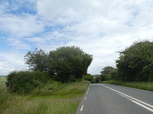
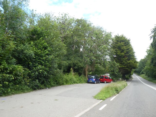
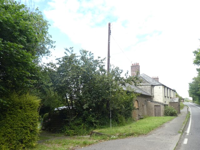
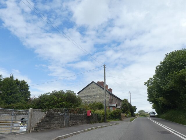
Bagstone Wood Images
Images are sourced within 2km of 50.427373/-4.6071294 or Grid Reference SX1461. Thanks to Geograph Open Source API. All images are credited.


Bagstone Wood is located at Grid Ref: SX1461 (Lat: 50.427373, Lng: -4.6071294)
Unitary Authority: Cornwall
Police Authority: Devon and Cornwall
What 3 Words
///stump.exonerate.diamonds. Near Lostwithiel, Cornwall
Nearby Locations
Related Wikis

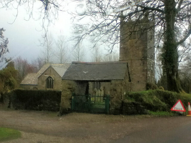
Boconnoc Church
Boconnoc Church is a Grade I listed Church of England parish church in Boconnoc, Cornwall. == History and description == The church dates from the 13th...

Boconnoc
Boconnoc (Cornish: Boskennek) is a civil parish in Cornwall, England, United Kingdom, approximately four miles (6 km) east of the town of Lostwithiel....
Braddock, Cornwall
Braddock (Cornish: Brodhek) is a village and civil parish in Cornwall, England, United Kingdom. The village is about seven miles west of Liskeard, and...
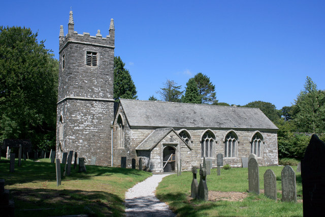
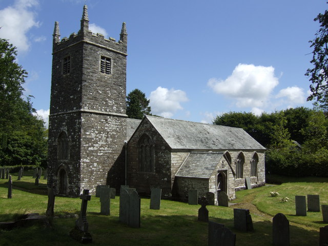
St Mary the Virgin's Church, Braddock
St Mary the Virgin’s Church, Braddock or Bradoc is a Grade I listed parish church in the Church of England in Braddock, Cornwall. == History == The current...
Nearby Amenities
Located within 500m of 50.427373,-4.6071294Have you been to Bagstone Wood?
Leave your review of Bagstone Wood below (or comments, questions and feedback).