Colquite Wood
Wood, Forest in Cornwall
England
Colquite Wood

Colquite Wood is a captivating woodland located in Cornwall, England. Situated in the picturesque countryside near the village of Lanhydrock, it covers an area of approximately 250 acres. The wood is part of the larger Lanhydrock Estate, owned by the National Trust.
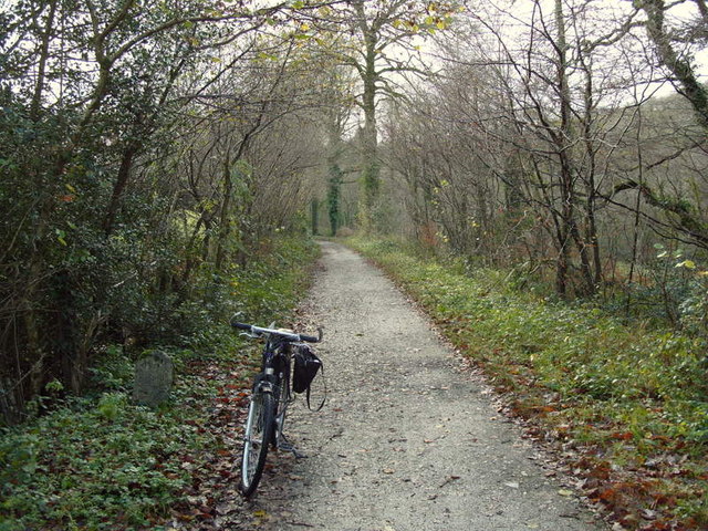
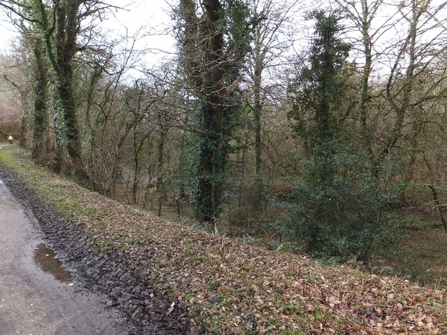
This ancient woodland boasts a diverse range of flora and fauna, providing a haven for wildlife enthusiasts and nature lovers alike. The wood is predominantly made up of deciduous trees, including oak, beech, and chestnut, creating a stunning display of colors during the autumn months. Bluebells carpet the forest floor in spring, adding a vibrant touch to the scenery.
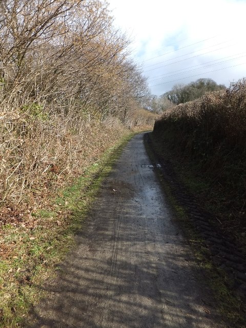
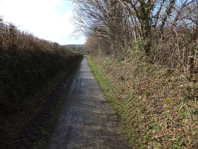
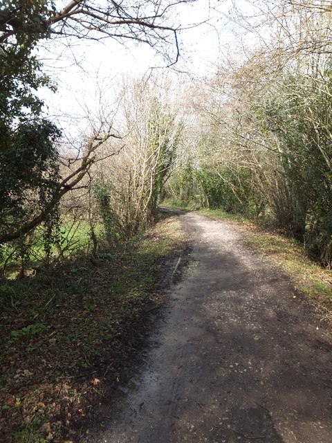
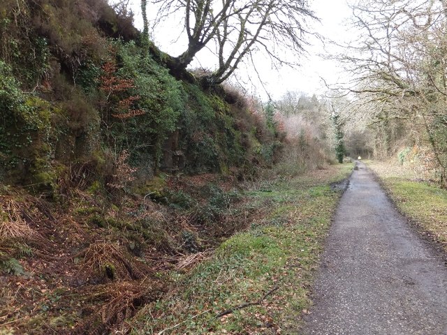
Colquite Wood offers an array of walking trails, allowing visitors to explore its beauty at their own pace. The paths wind through towering trees, leading to hidden clearings and babbling streams. Along the way, there are benches strategically placed for those seeking a peaceful spot to rest and take in the serene surroundings.
Birdwatchers will delight in the variety of species that call Colquite Wood home. From woodpeckers and owls to songbirds and raptors, the wood is a hub of activity and bird song. Wildlife enthusiasts may also spot deer, rabbits, and squirrels as they make their way through the forest.
The wood is open to the public year-round, with parking facilities conveniently located nearby. There is also an information center where visitors can learn more about the wood's history and the creatures that inhabit it.
Colquite Wood offers a tranquil escape from the hustle and bustle of everyday life, inviting visitors to immerse themselves in the beauty of nature.
If you have any feedback on the listing, please let us know in the comments section below.
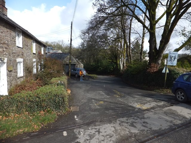
Colquite Wood Images
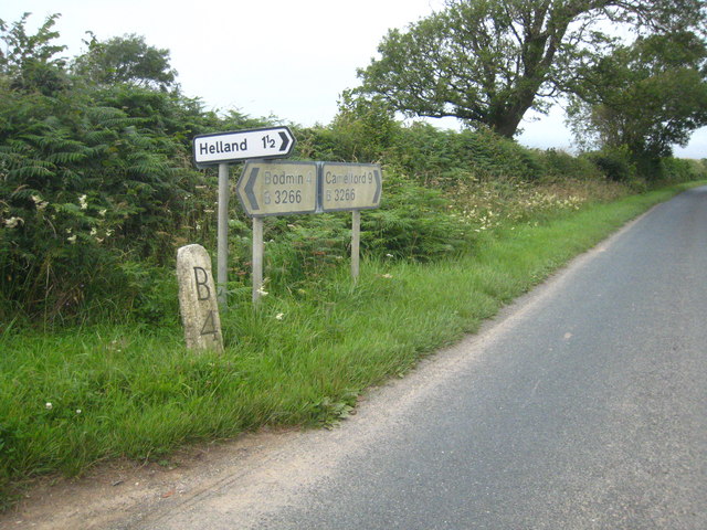
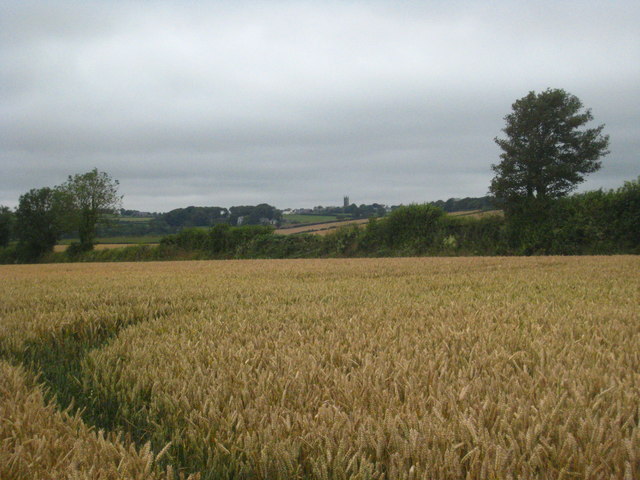
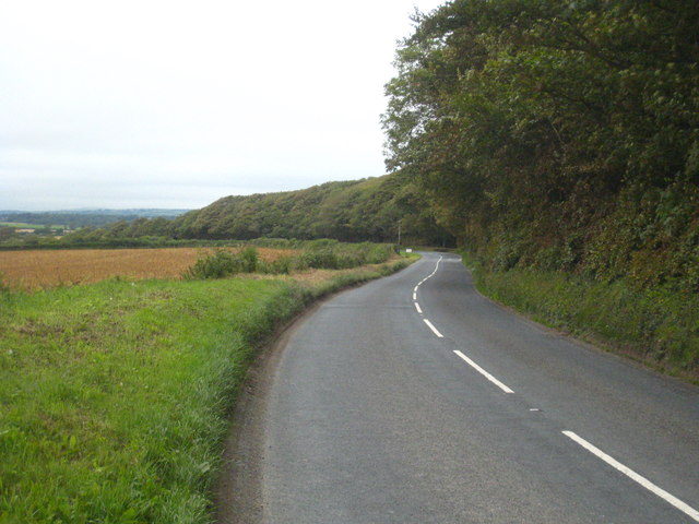
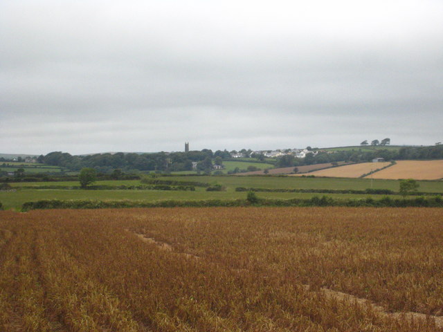
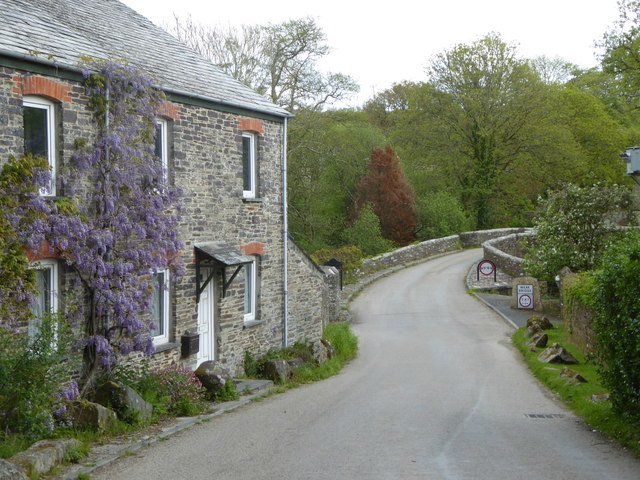
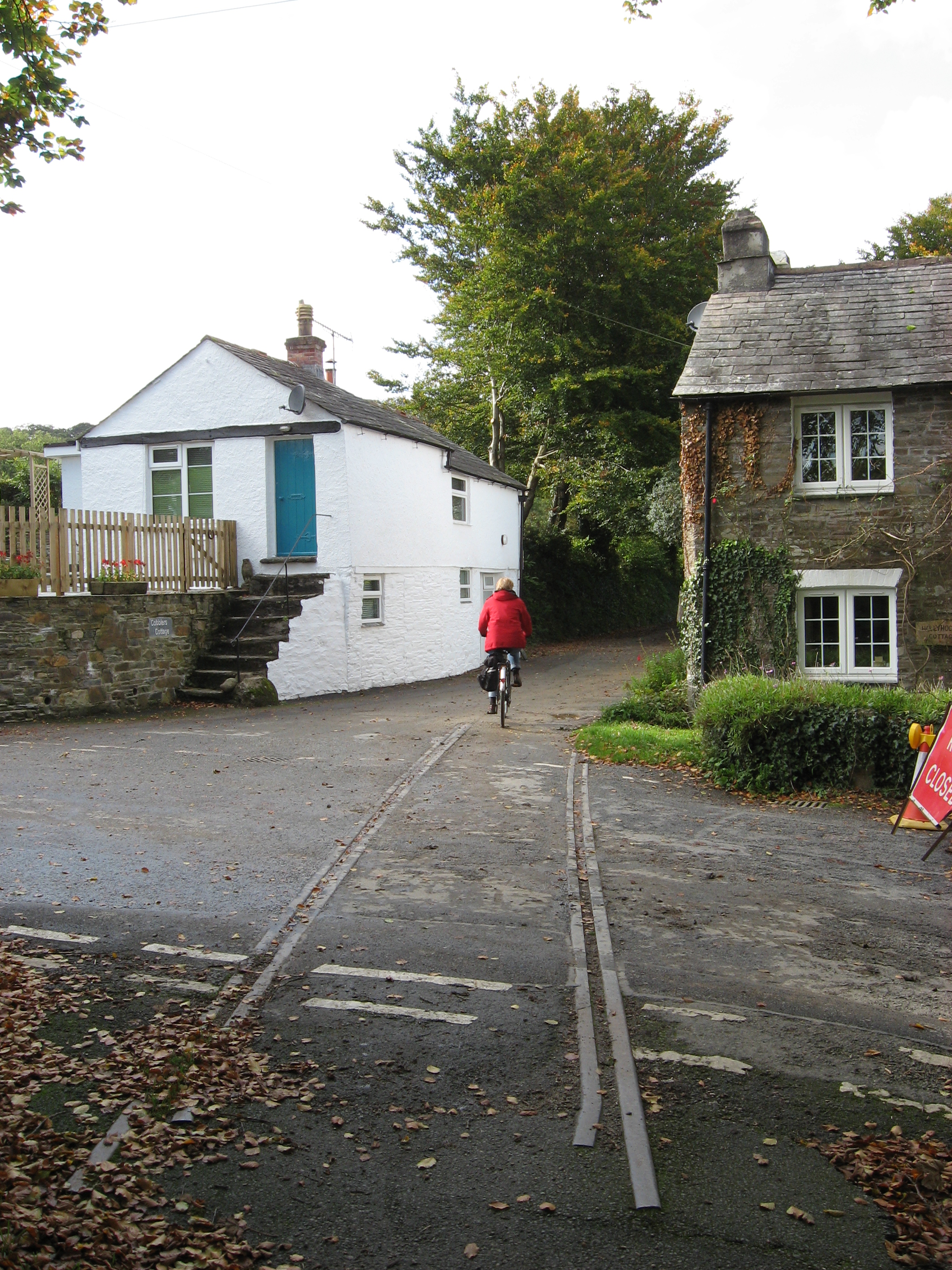
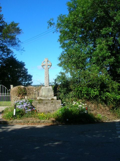
Images are sourced within 2km of 50.503273/-4.7374524 or Grid Reference SX0570. Thanks to Geograph Open Source API. All images are credited.


Colquite Wood is located at Grid Ref: SX0570 (Lat: 50.503273, Lng: -4.7374524)
Unitary Authority: Cornwall
Police Authority: Devon and Cornwall
What 3 Words
///numeral.paintings.hiker. Near Helland, Cornwall
Nearby Locations
Related Wikis
Hellandbridge
Hellandbridge is a hamlet in Cornwall, England, UK. It is about a mile west-northwest of the village of Helland (where the population at the 2011 census...

Tredethy
Tredethy is a house and estate in the civil parish of St Mabyn, Cornwall, UK, at Grid reference SX 06 71. It occupies seven acres and is one of a number...
Helland
Helland (Cornish: Hellann) is a civil parish and village in Cornwall, England, United Kingdom. It is situated 2+1⁄2 miles (4.0 km) north of Bodmin. The...

Clerkenwater
Clerkenwater is a hamlet in the parish of Helland, Cornwall, England. Clerkenwater is situated 1.2 miles (1.9 km) north of Bodmin. == References ==
Have you been to Colquite Wood?
Leave your review of Colquite Wood below (or comments, questions and feedback).